Although traditionally used to study earthquakes, like today’s M 8.1 in Mexico, seismometers have now become so sophisticated they are able to detect the slightest ground movements; whether they come from deep within the bowels of the planet or are triggered by events at the surface. But how, exactly, do earthquake scientists decipher the signals picked up by seismometers across the world? And mo ...[Read More]
Natural Hazards
August GeoRoundUp: the best of the Earth sciences from around the web
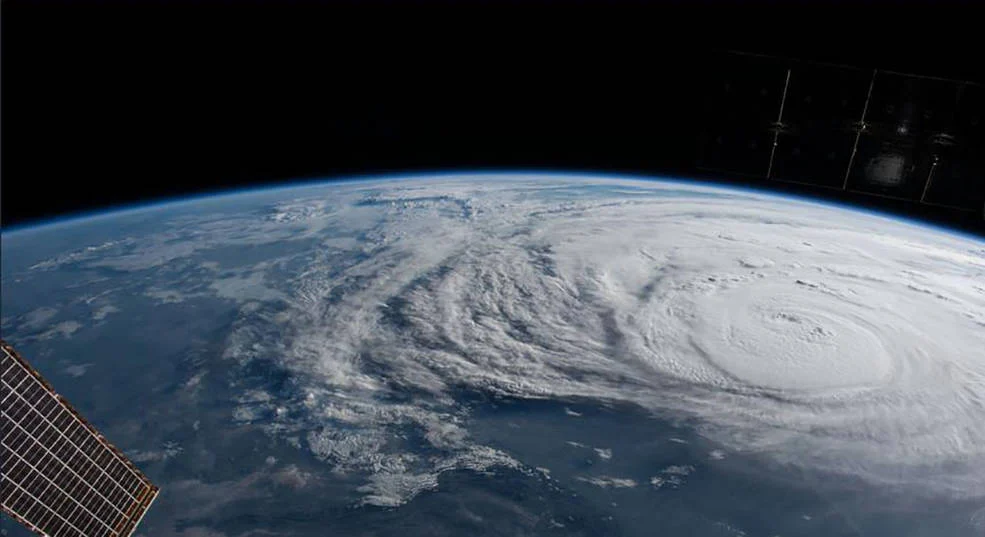
Drawing inspiration from popular stories on our social media channels, as well as unique and quirky research news, this monthly column aims to bring you the best of the Earth and planetary sciences from around the web. Major Stories On August 25th Hurricane Harvey made landfall along the southern coast of the U.S.A, bringing record breaking rainfall, widespread flooding and a natural disaster on a ...[Read More]
New Dimensions for Natural Hazards in Asia: the first AOGS–EGU Joint Conference
Asia is one of the most natural disaster-prone regions on the globe. Overpopulation and limited resources mean that natural hazards hit local populations particularly hard. “It doesn’t matter which index or evaluation method you use, Asia will always unfortunately come out on top when it comes to fatalities and damage from natural hazard events,” explains Dr. Adam Switzer, a member of the conferen ...[Read More]
Imaggeo on Mondays: Sediments make the colour
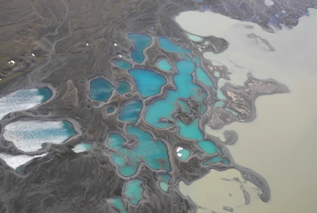
Earth is spectacularly beautiful, especially when seen from a bird’s eye view. This image, of a sweeping pattern made by a river in Iceland is testimony to it. The picture shows river Leirá which drains sediment-loaded glacial water from the Myrdalsjökull glacier in Iceland. Myrdalsjökull glacier covers Katla, one of Iceland’s most active and ice-covered volcanoes. A high sediment load (the suspen ...[Read More]
GeoSciences Column: Is smoke on your mind? Using social media to assess smoke exposure from wildfires
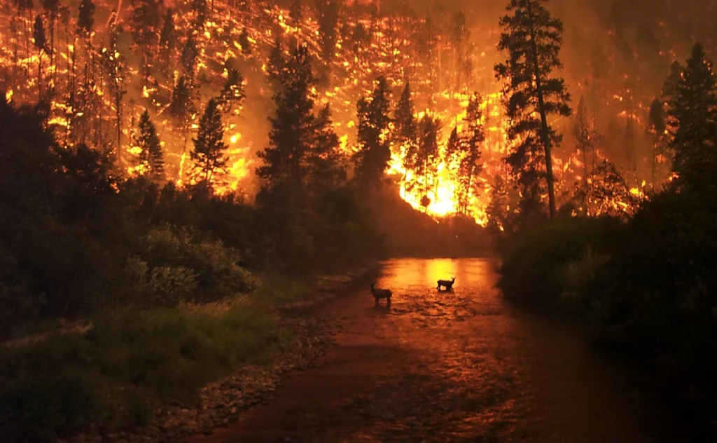
Wildfires have been raging across the globe this summer. Six U.S. States, including California and Nevada, are currently battling fierce flames spurred on by high temperatures and dry conditions. Up to 10,000 people have been evacuated in Canada, where wildfires have swept through British Columbia. Closer to home, 700 tourists were rescued by boat from fires in Sicily, while last month, over 60 pe ...[Read More]
Imaggeo on Mondays: Salt shoreline of the Dead Sea
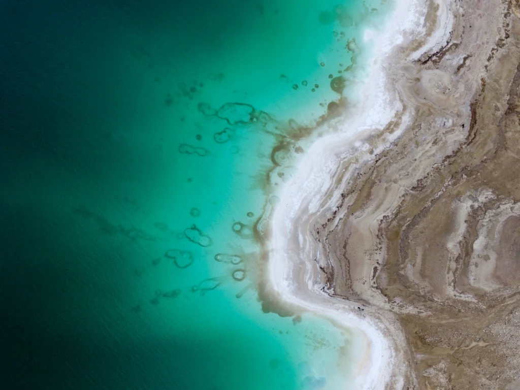
This beautiful aerial image (you’d be forgiven for thinking that it was a watercolour) of the Dead Sea was captured by a drone flying in 100m altitude over its eastern coastline. Climate change is seeing temperatures rise in the Middle East, and the increased demand for water in the region (for irrigation) mean the areas on the banks of the lake are suffering a major water shortage. As a result, t ...[Read More]
GeoSciences Column: Can seismic signals help understand landslides and rockfalls?
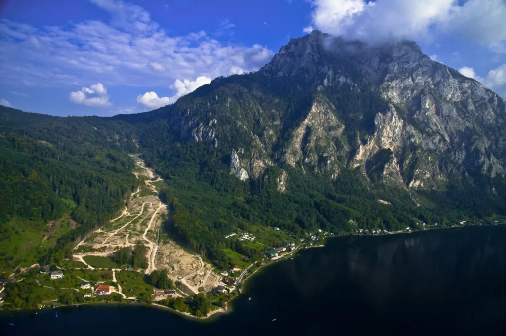
From the top of a small gully in the French Alps, a 472 kg block is launched into the chasm. Every detail of it’s trajectory down the slope is scrutinised by two cameras and a network of seismometers. They zealously record every bounce, scrape and tumble – precious data in the quest to better understand landslides. What makes landslides tick? In 2016, fatalities caused by landslides tipped 2 ...[Read More]
Imaggeo on Mondays: Sedimentary record of catastrophic floods in the Atacama desert
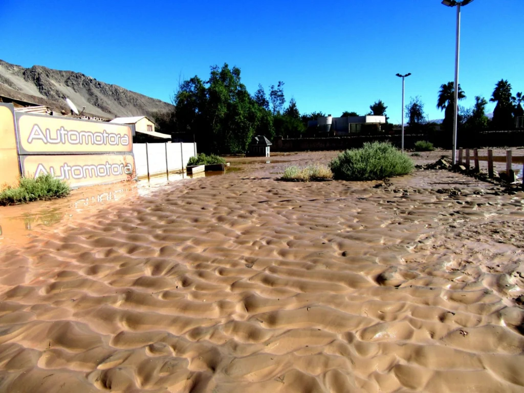
Despite being one of the driest regions on Earth, the Atacama desert is no stranger to catastrophic flood events. Today’s post highlights how the sands, clays and muds left behind once the flood waters recede can hold the key to understanding this natural hazard. During the severe rains that occurred between May 12 and 13, 2017 in the Atacama Region (Northern Chile) the usually dry Copiapó R ...[Read More]
March GeoRoundUp: the best of the Earth sciences from around the web
Drawing inspiration from popular stories on our social media channels, as well as unique and quirky research news, this monthly column aims to bring you the best of the Earth and planetary sciences from around the web. Major story While the March headlines might not have been dominated by a particular story, the state of the Earth’s climate has definitely been the overarching theme of the month. ...[Read More]
Imaggeo on Mondays: harnessing Earth’s inner heat
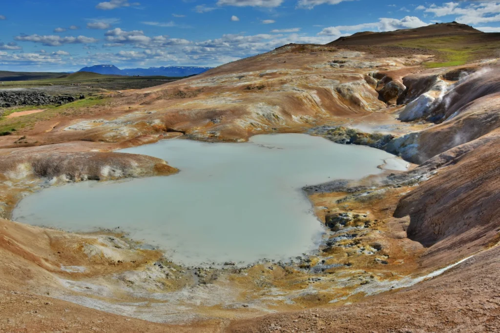
Iceland, the land of ice and fire, is well known for its volcanicity. Most famously, it is home to Eyjafjallajökull: the volcano which caused wide spread mayhem across European airspace when it erupted in 2010. But not all the local volcanic activity is unwelcome. High temperature geothermal areas are a byproduct of the volcanic setting and the energy released can be used to power homes and infras ...[Read More]