GeoLog

Natural Hazards

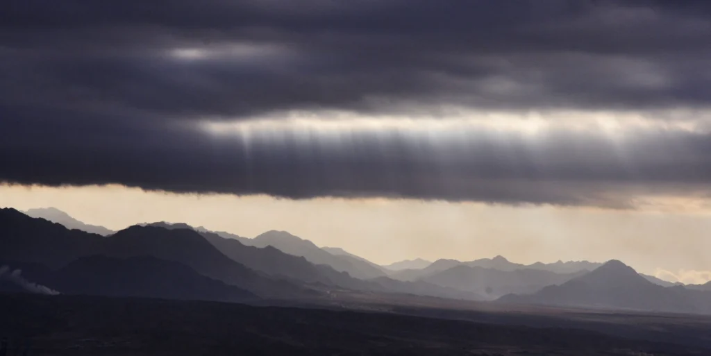
Imaggeo on Mondays: a storm is coming
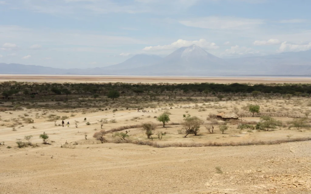
Imaggeo on Mondays: a storm is coming
Coastlines globally are immensely diverse: from the beautifully topical and sun kissed beaches of the Caribbean, to the wet and misty British coastline, through to the raw and wild Alaskan shores, they are home to scores of flora and fauna; rich habitats shaped by powerful forces of nature. In stark contrast, some coastlines, (28,000 km worldwide to be precise) are dry almost barren places, where ...[Read More]

Geosciences Column: Africa’s vulnerability to climate change

Climate change is set to hit the nations of the Global South the hardest.

Ravaged by armed conflicts, a deep struggle with poverty, poor governance and horizontal inequality, some parts of Africa and other Global South regions are arguably the most vulnerable to the impacts of climate change. Largely reliant on natural resources for sustenance, current and future changes in temperatures, precipitation and the intensity of some natural hazards threaten the food security, ...[Read More]

January GeoRoundup: the best of the Earth sciences from across the web

January Georoundup: the best of the Earth sciences from across the web

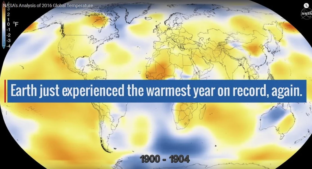
The start of the new year sees the launch of a new series here on GeoLog. Drawing inspiration from popular stories on our social media channels, as well as unique and quirky research news, this monthly column aims to bring you the best of the Earth and planetary sciences from around the web. Major stories One of the biggest stories of this month was the anticipated release of the average global su ...[Read More]

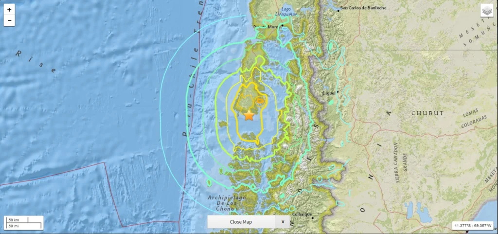
Shaking on Christmas Day: what we know about the 7.6 M Chile earthquake

Chile, Chiloe earthquake

While the majority of us were midway through our Christmas Day celebrations, a powerful 7.6 M earthquake struck off the western coast of the Chile. Natural hazards are not bound by time, location or festivities; an earthquake can happen at any time in any place, regardless of the significance of the day. As a result, in this earthquake prone region, raising awareness of the risk posed by natural h ...[Read More]

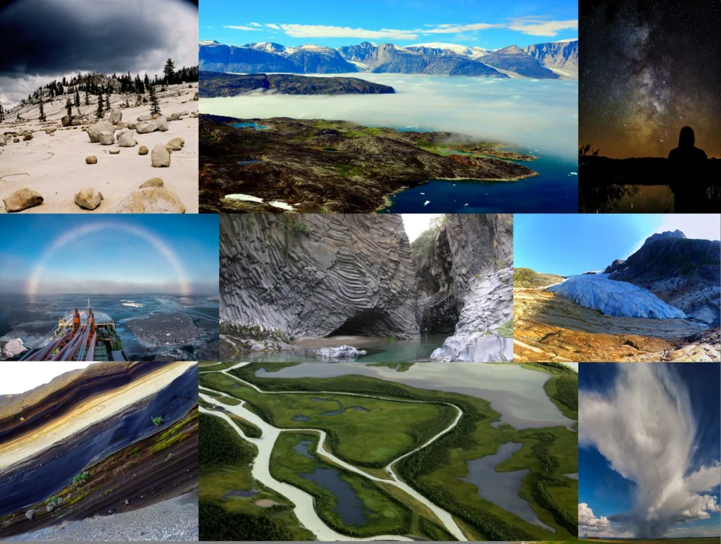
The best of Imaggeo in 2016: in pictures

The best of Imaggeo in 2016: in pictures

Imaggeo, our open access image repository, is packed with beautiful images showcasing the best of the Earth, space and planetary sciences. Throughout the year we use the photographs submitted to the repository to illustrate our social media and blog posts. For the past few years we’ve celebrated the end of the year by rounding-up some of the best Imaggeo images. But it’s no easy task to pick which ...[Read More]

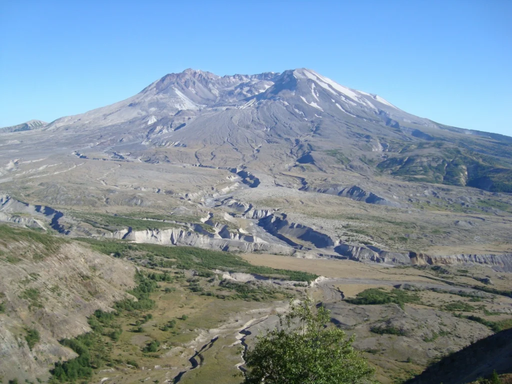
Imaggeo on Mondays: “Vancouver! Vancouver! This is it!”

Mount St Helen's, Washington, seen from Johnston Ridge.

On May 18th 1980 Mount St Helens (an active stratovolcano of the Cascades located in the North West US), erupted explosively following a magnitude 5.1 earthquake. The quake triggered a devastating landslide which swept away the volcano’s northern flank – in what is the largest debris avalanche recorded on Earth to date. Removal of a section of the edifice depressurised the volcano’s magmatic ...[Read More]

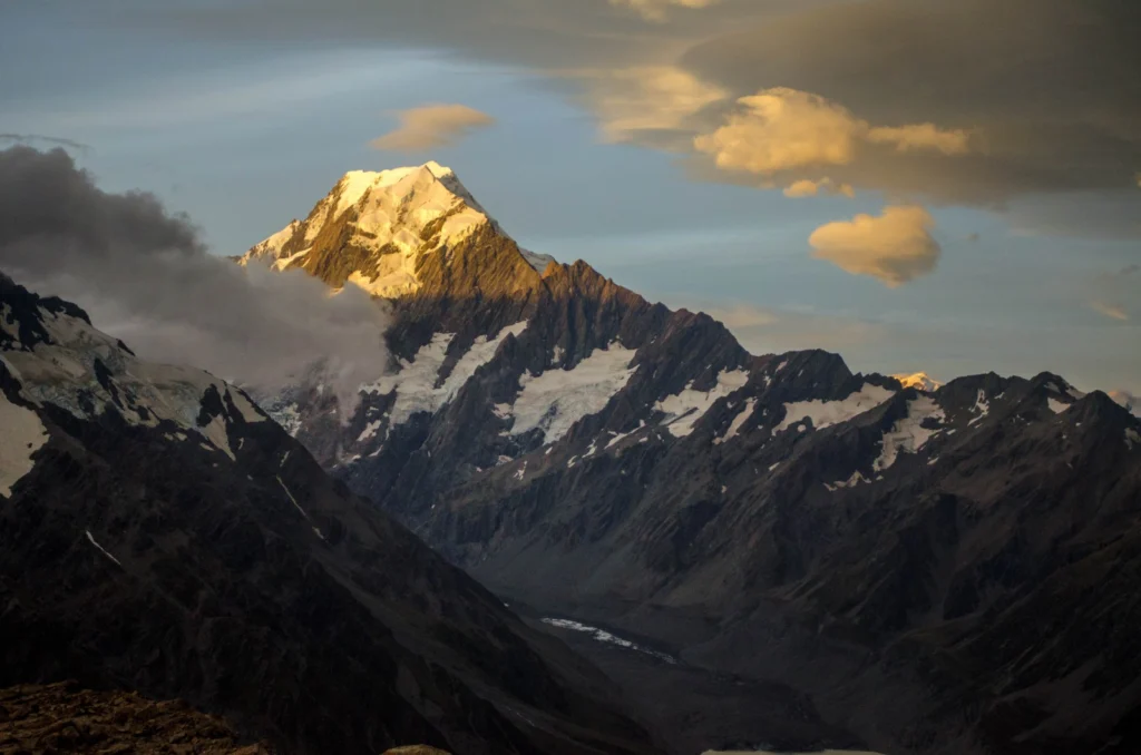
Imaggeo on Mondays: Aoraki & a round-up of the latest New Zealand earthquake news

Imaggeo on Mondays: Aoraki & a round-up of the latest New Zealand earthquake news

On Sunday the 13th November, New Zealand’s South Island was struck by a powerful 7.8 M earthquake. Initial analysis by the United States Geological Survey (USGS) indicates that the source of the tremor was faulting on or near the boundary between the Pacific and Australia plates. A tsunami alert (no longer active) was triggered following the earthquake, with risk of tsunami waves along coastal are ...[Read More]

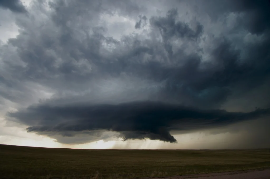
Imaggeo on Mondays: A look inside a thunderstorm

Imaggeo on Mondays: A look inside a thunderstorm

This week’s contribution to Imaggeo on Mondays is a photograph of a mesocyclone – and its rotating wall cloud – photographed by Mareike Schuster, an atmospheric scientist from Freie Universität Berlin, Germany. The picture was taken in June 2012 near Cheyenne, Wyoming in the United States during a field campaign, ROTATE, led by the Center for Severe Weather Research, based in Boulder, Colora ...[Read More]

GeoTalk: Drilling into the crater which contributed to the demise of dinosaurs

GeoTalk: Drilling into the crater which contributed to the demise of dinosaurs

Six months ago, somewhere in the tropical waters off the coast of Mexico, scientists began drilling into one of the most iconic geological features on Earth: the Chicxulub crater; the 66 million year old remnants of a deadly asteroid impact, thought to have contributed to the demise of dinosaurs and most other forms of life which inhabited the Earth at the time. Today we speak to Sonia Tikoo, Assi ...[Read More]