GeoLog

Hydrological Sciences

Imaggeo on Mondays: The organisation of a river system
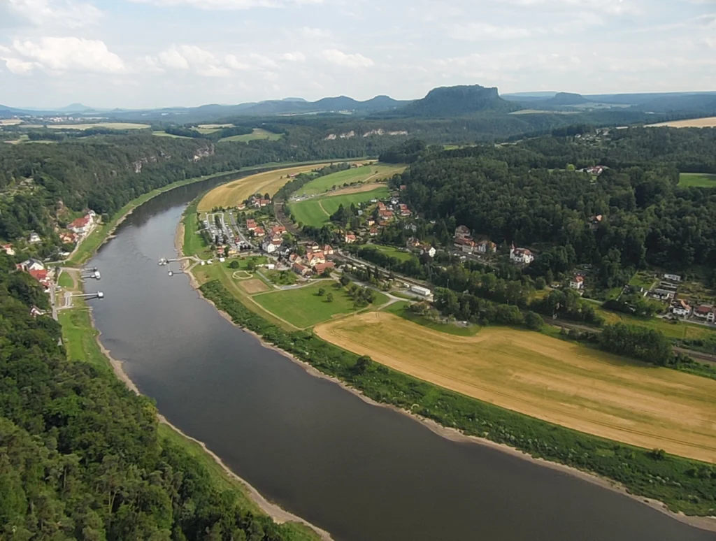
Imaggeo on Mondays: The organisation of a river system
The picture shows the Elbe Rivervalley, one of the major rivers of Central Europe. It was taken from the Bastei Bridge close to Rathen, which towers 194 meters above the Elbe River in the state of Saxony in the south-eastern Germany. This region belongs to the national park known as Saxon Switzerland. Together with the …[Read More]

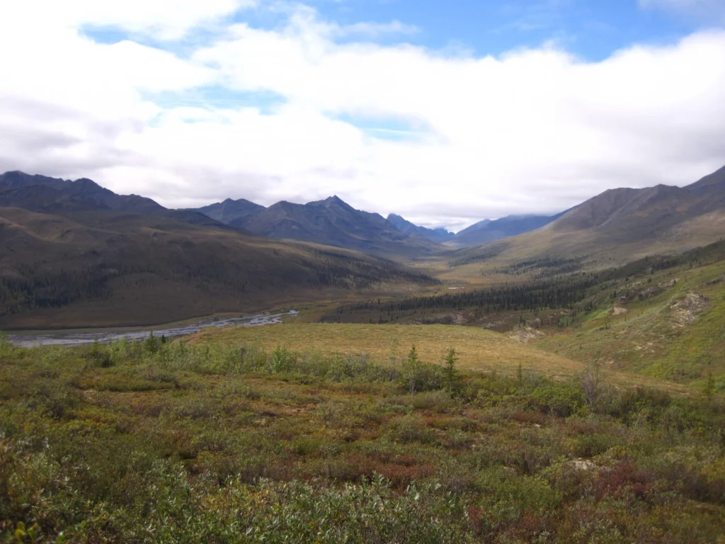
Imaggeo on Mondays: Tombstones Mountains

Imaggeo on Mondays: Tombstones Mountains

This week’s Imaggeo image is brought to you by one of our network bloggers, Matt Herod. Of the image, Matt said ” this particular one is one of my all time favourites. I have even blown it up and hung it on my wall at home,” and we couldn’t agree more; this Canadian landscape is …[Read More]

Imaggeo on Mondays: Mesopotamia, the ancient land between rivers

Imaggeo on Mondays: Mesopotamia, the ancient land between rivers

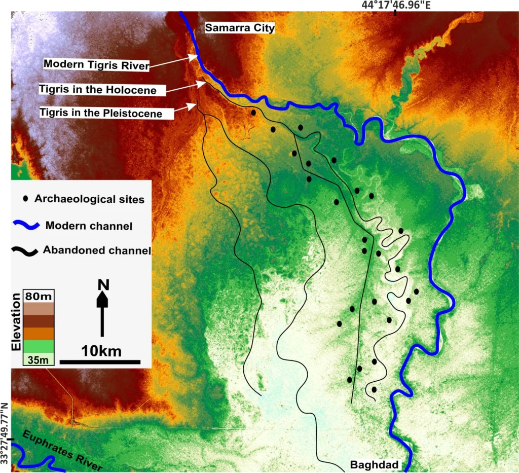
Mesopotamia, an area rich in history and considered as the cradle of civilisation, with the first populations establishing themselves in the region some 6000 years ago,lies between two great rivers: the Euphrates and the Tigris. The ancient territory spans areas of modern-day Iraq, Kuwait, the northeastern section of Syria and small sections of southeastern Turkey …[Read More]

Imaggeo on Mondays: Mountains, rivers and agriculture

Imaggeo on Mondays: Mountains, rivers and agriculture

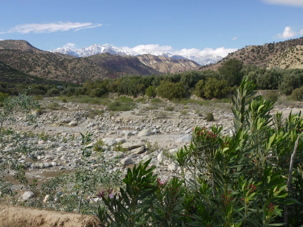
This week’s Imaggeo on Mondays image blends a range of geoscience disciplines. The post, by Irene Marzolff, a researcher at Johann Wolfgang Goethe-Universitaet, explores how the mountains, rivers and soils of the High Atlas in Morocco are intrinsically linked to the agriculture of the region. The image was taken in the southern slopes of the …[Read More]

Imaggeo on Mondays: The place where water runs through rocks

Imaggeo on Mondays: The place where water runs through rocks

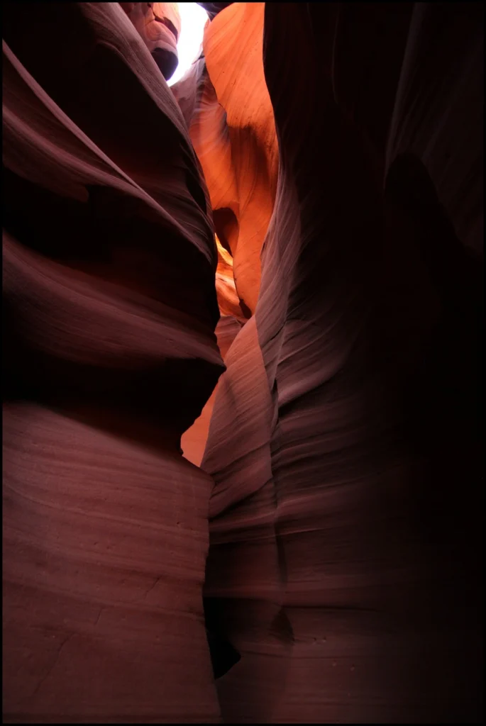
Antelope Canyon, located in Arizona, USA, was formed by erosion of the Navajo Sandstone, primarily due to flash flooding and secondarily due to other sub-aerial processes (think of physical weathering processes such as freeze-thaw weathering exfoliation and salt crystallisation). Rainwater runs into the extensive basin above the slot canyon sections, picking up speed and sand …[Read More]

Imaggeo on Mondays: Foehn clouds

Imaggeo on Mondays: Foehn clouds

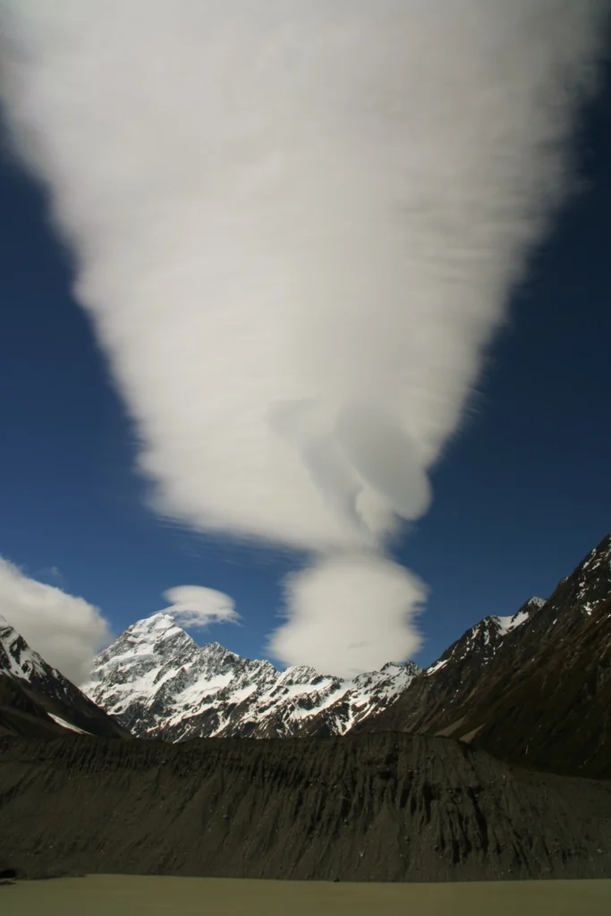
This week’s post is brought to you by Stefan Winkler, a Senior Lecturer in Quaternary Geology & Palaeoclimatology, who explains how the mountain tops of the Southern Alps become decorated by beautiful blanket-like cloud formations. The Sothern Alps of New Zealand are a geoscientifically dynamic environment in all aspects. They are arguably one of the …[Read More]

Floods and droughts set to increase due to climate change

Floods and droughts set to increase due to climate change

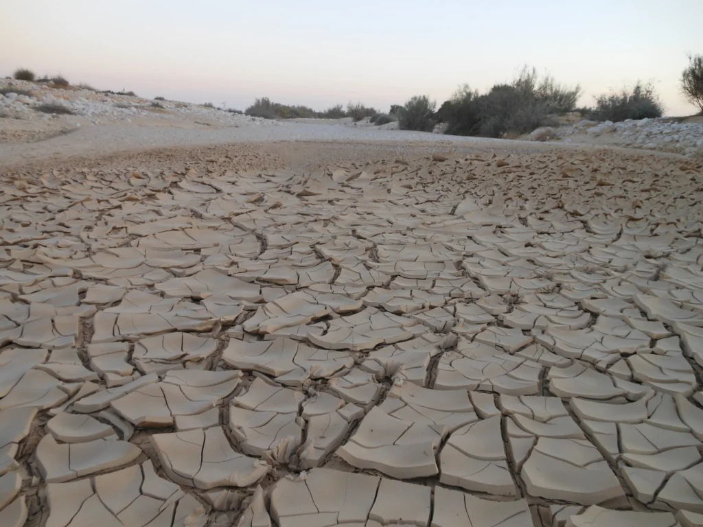
The planet is set to encounter a record-level amount of floods and droughts by 2050 – researchers recently announced at the European Geosciences Union’s General Assembly in Vienna. Nikita Marwaha shares their predictions on the impact that climate change will have on these extreme weather conditions. In a study by the Joint Research Centre (JRS) …[Read More]