GeoLog

Hydrological Sciences

Mangroves at the edge: Coastal ecosystems in a year of climate extremes

Mangroves at the edge: Coastal ecosystems in a year of climate extremes

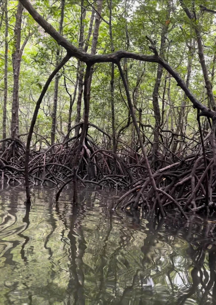
This Sunday, July 26, marks the International Day for the Conservation of the Mangrove Ecosystem. We are currently experiecing critical crossroads globally, where groundbreaking data on global forest recovery collides with the immediate threats of an escalating climate crisis.El Niño is pushing Pacific sea surface temperatures toward levels that rank among the highest on record, and climate specia ...[Read More]

Climate vs. landscape? A new breakthrough in continental water modeling!

Climate vs. landscape? A new breakthrough in continental water modeling!

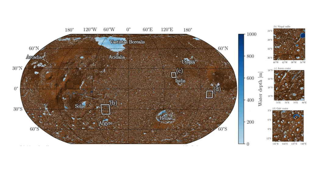
Every year on 21 June, the global scientific community celebrates World Hydrology Day to highlight the importance of water sciences play in sustainable resource management and natural hazard mitigation. Historically, human efforts to protect and manage freshwater have suffered from a blind spot. While we can easily measure a river’s flow at a specific gauging station, predicting how an untou ...[Read More]

Footprints reveal climate’s mark on mudflats

Footprints reveal climate’s mark on mudflats

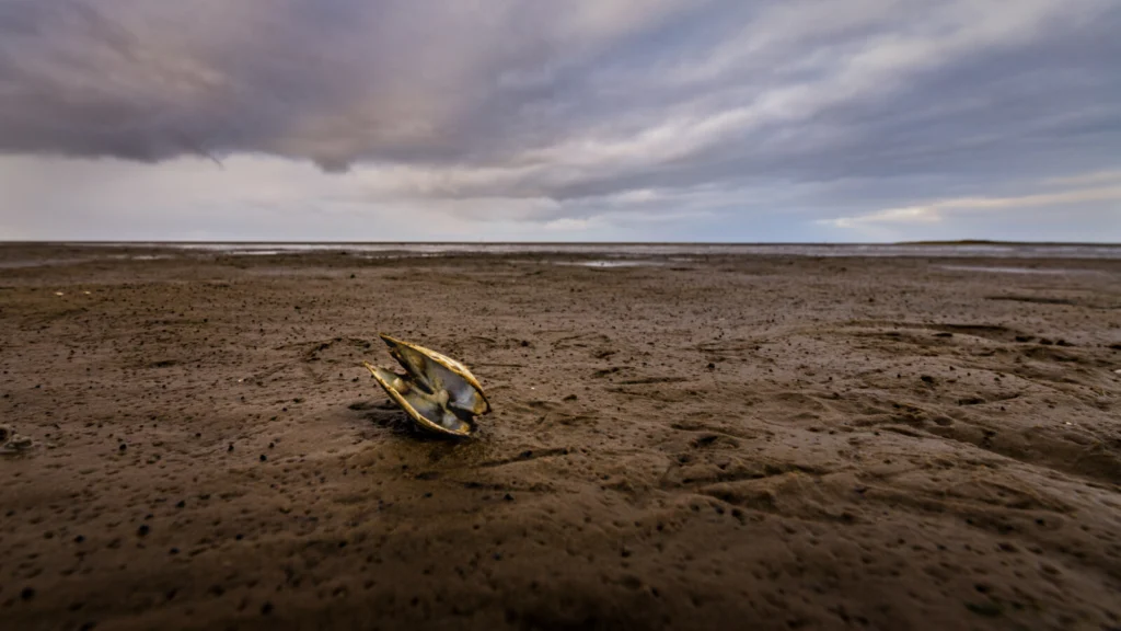
Tidal flats, the muddy reaches of estuaries unveiled at low tide, support rich ecosystems and fisheries worldwide. But these habitats are under threat from climate change, as sea level rise overwhelms the landscape and heavy rainfall scours away the sediment – impacts that scientists are only just beginning to explore. In an effort to understand how shellfisheries are affected by climate change, a ...[Read More]

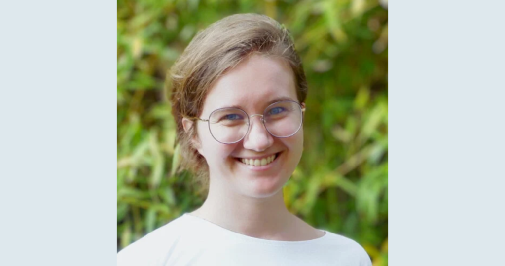
GeoTalk: meet Christina Orieschnig, hydrologist and science communicator!

GeoTalk: meet Christina Orieschnig, hydrologist and science communicator!

Hello Christina! Welcome to GeoTalk. Before we dive in, could you introduce yourself to our readers? Hey everyone! I’m a researcher at the Institut de Recherche pour le Développement (IRD) in Montpellier in the South of France. For my work, I specialise in remote sensing and hydrological modelling, with study areas in Cambodia, Tunisia, and France. At EGU, I’m also the outgoing Early Career Scient ...[Read More]

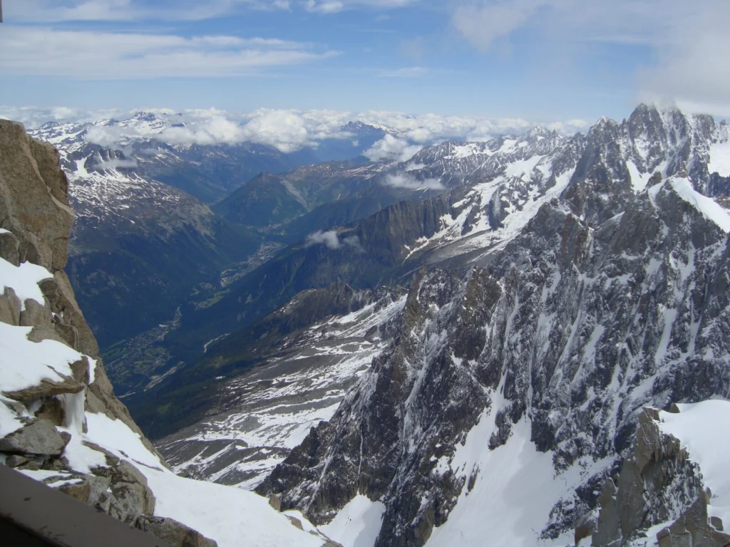
Sixty years under the mountain: A geoscientific odyssey through the Mont Blanc tunnel

Sixty years under the mountain: A geoscientific odyssey through the Mont Blanc tunnel

On July 16, 1965, the Mont Blanc Tunnel, 11.611 km of tunnel piercing the heart of the Alps, opened to traffic, marking a triumph of engineering, geology, and international cooperation. Sixty years later, this civilian artery connecting Chamonix (France) and Courmayeur (Italy) stands not just as a testament to human inventiveness but as an ongoing marvel if viewed through a geoscientific lens. On ...[Read More]

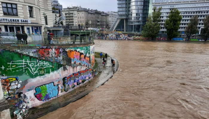
September 2024 flooding in Central Europe: The Austrian experience

September 2024 flooding in Central Europe: The Austrian experience

This blog post is co-published with the Hydrology Division (HS). Storm Boris is the latest in a series of deluges during one of Europe’s most flood-prone periods in 500 years, yet Vienna managed to avoid major damage. The city’s preparations may offer valuable lessons for other urban areas facing similar challenges.  Dealing with record rainfall: September 2024 in Vienna When record rainfall ...[Read More]

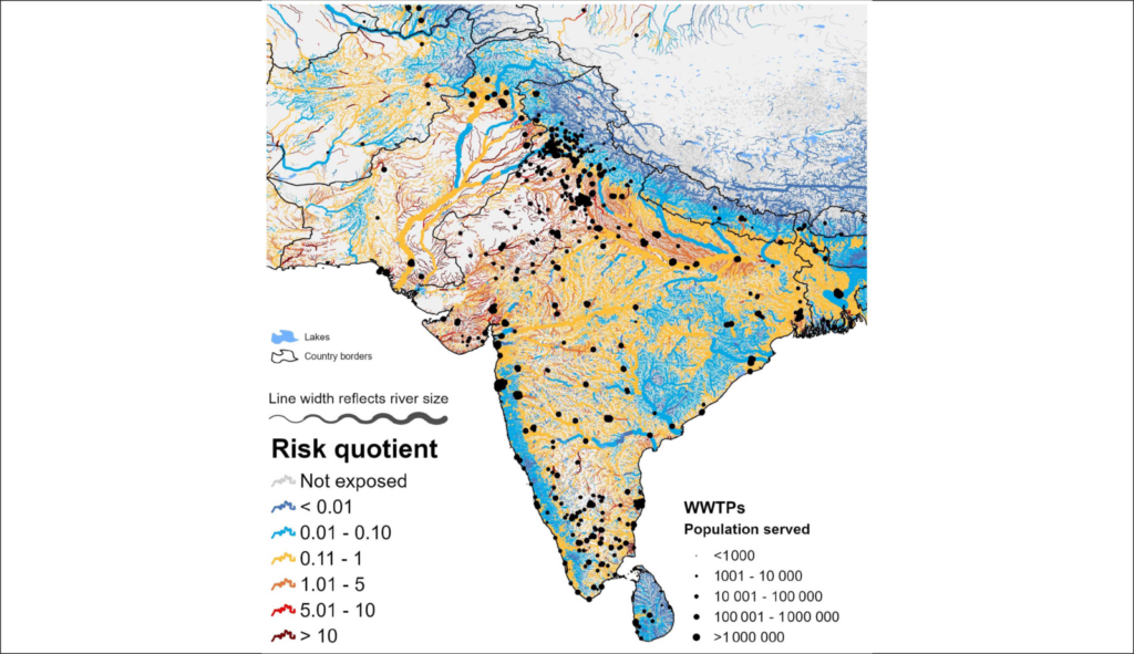
Here is how HydroFATE, a new high-resolution model, is predicting contaminant hotspots in global waterways

Here is how HydroFATE, a new high-resolution model, is predicting contaminant hotspots in global waterways

Ever wonder what happens to the chemicals and medications we use once they go down the drain? The fourth Sunday of September each year marks the World Rivers Day, and this post is dedicated to our global rivers and what humankind can do to preserve our waters. This is because pharmaceuticals and household products, even after being flushed or washed away, don’t just disappear. Many of these substa ...[Read More]

Which pixel represents my gauging station? Tackling an essential issue in gridded hydrology

Which pixel represents my gauging station? Tackling an essential issue in gridded hydrology

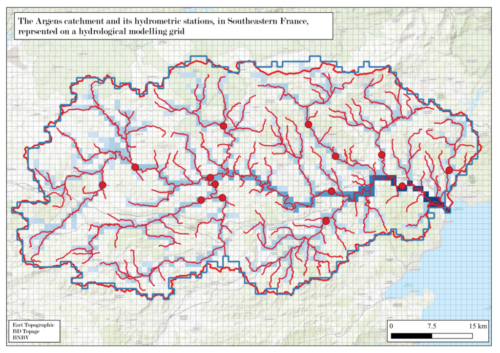
Do you know how scientists predict and analyse river flows using computer models? In this blog, Juliette Godet explores the tricky task of matching real-world river measurement points to grid cells in these models. Picture a giant digital map of a river basin, divided into grid squares, and a real-life gauge that measures river flow at a specific point. The job is to figure out which grid cell bes ...[Read More]

Higher Education Resource: Sandbox Modelling for Basin Development

Higher Education Resource: Sandbox Modelling for Basin Development

The European Geosciences Union (EGU) supports bringing science into the classroom at all learning levels, from schools to universities. Since the Higher Education Teaching grant programme launched in 2020, EGU has funded 24 projects to develop useful and freely available geoscience resources to university educators. This blog is part of a series of blogs highlighting the innovative and accessible ...[Read More]

Higher Education Resource: River Flood Hazard Modelling & Management

Higher Education Resource: River Flood Hazard Modelling & Management

The European Geosciences Union (EGU) supports bringing science into the classroom at all learning levels, from schools to universities. Since the Higher Education Teaching Grant programme launched in 2020, EGU has funded 24 projects to develop useful and freely-available geoscience resources to university educators. This blog is part of a series of blogs highlighting the innovative and accessible ...[Read More]