GeoLog

Climate: Past, Present & Future

Imaggeo on Mondays: The unique bogs of Patagonia
Imaggeo on Mondays: The unique bogs of Patagonia
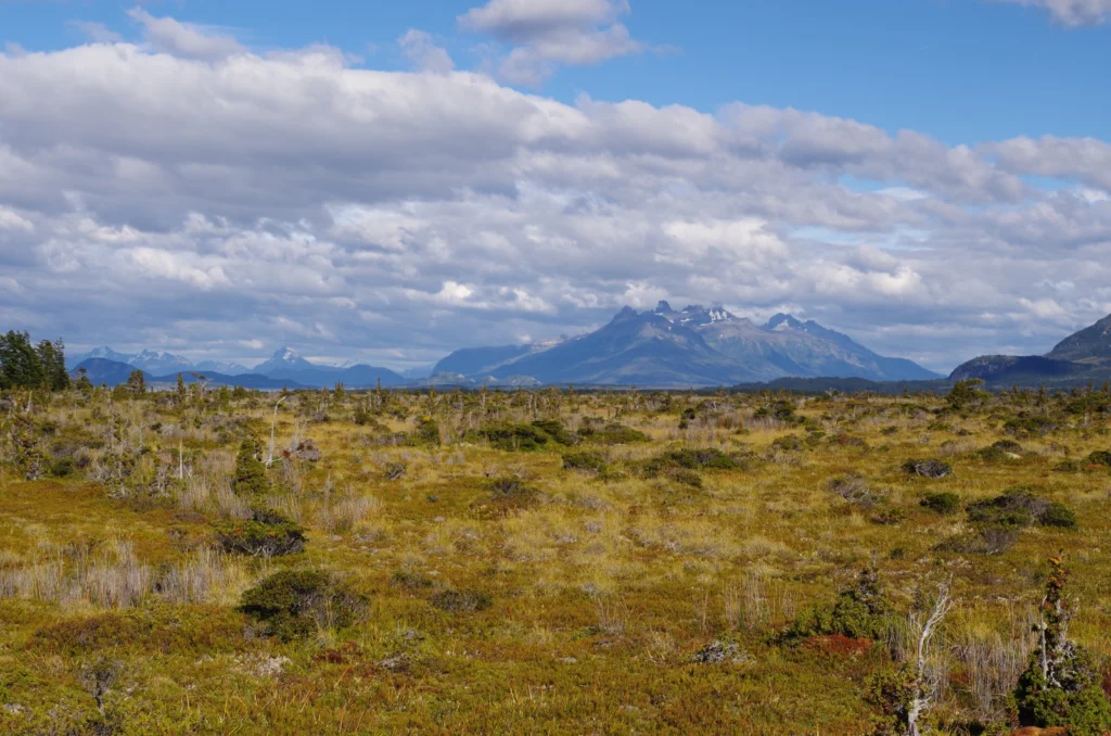
Patagonia, the region in southernmost tip of South America, is as diverse as it is vast. Divided by the Andes, the arid steppes, grasslands and deserts of Argentina give way to the temperate rainforests, fjords and glaciers of Chile. Also on the Chilean side are rolling hills and valleys of marshy topography: Patagonia’s bogs. Today, …[Read More]

Imaggeo on Mondays: Measuring the wind direction

Imaggeo on Mondays: Measuring the wind direction

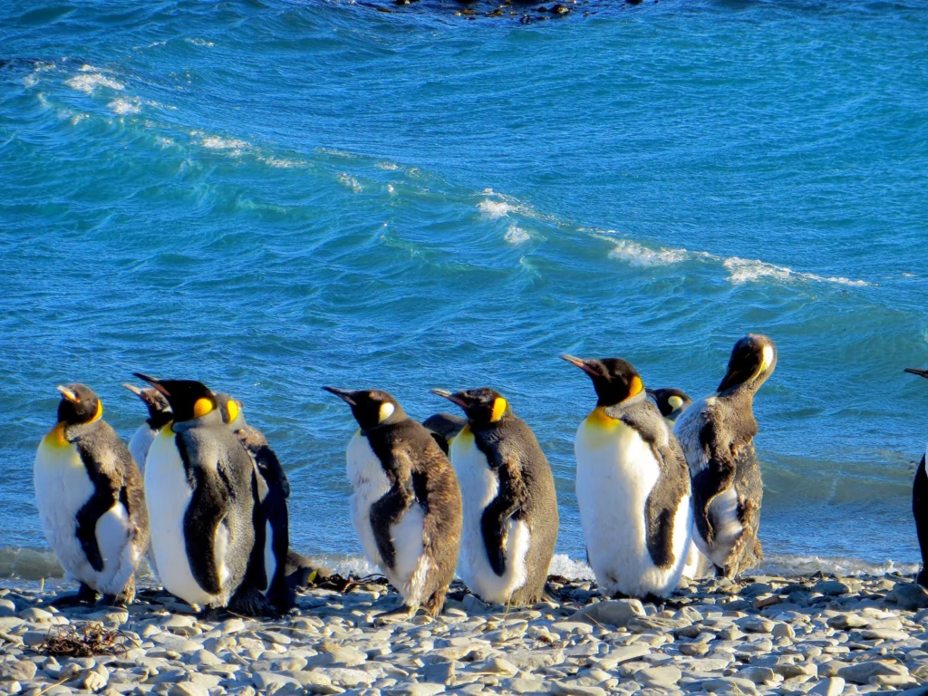
Remote, rugged, raw and beautiful beyond measure, the island of South Georgia rises from the wild waters of the South Atlantic, 1300 km south east of the Falkland Islands. The Allardyce Range rises imposingly, south of Cumberland Bay, dominating the central part of the island. At its highest, it towers 2935 m (Mount Paget) above …[Read More]

Record-setting forest fires in 2017 – what is to blame?

Record-setting forest fires in 2017 – what is to blame?

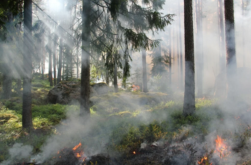
Forest fires have once again seized the public consciousness in both Europe and North America. Extreme drought and temperatures contributed to a tinderbox in many forests, and have led to deadly fires across Europe and record-breaking, highly disruptive fires in the USA and Canada, from where I’m currently writing. A simple way to understand fire …[Read More]

GeoPolicy: IPCC decides on fresh approach for next major report

GeoPolicy: IPCC decides on fresh approach for next major report

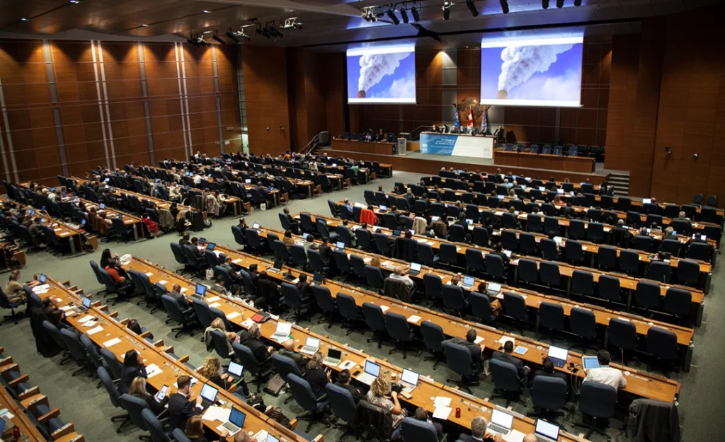
This month’s GeoPolicy post is a guest post from Sarah Connors, a Science Officer in the Intergovernmental Panel on Climate Change (IPCC) Working Group 1 Technical Support Unit (and former EGU Science Policy Officer). The IPCC is starting its sixth cycle, in which hundreds of scientists take stock of the world’s climate change knowledge by …[Read More]

Imaggeo on Mondays: Isolated atoll

Imaggeo on Mondays: Isolated atoll

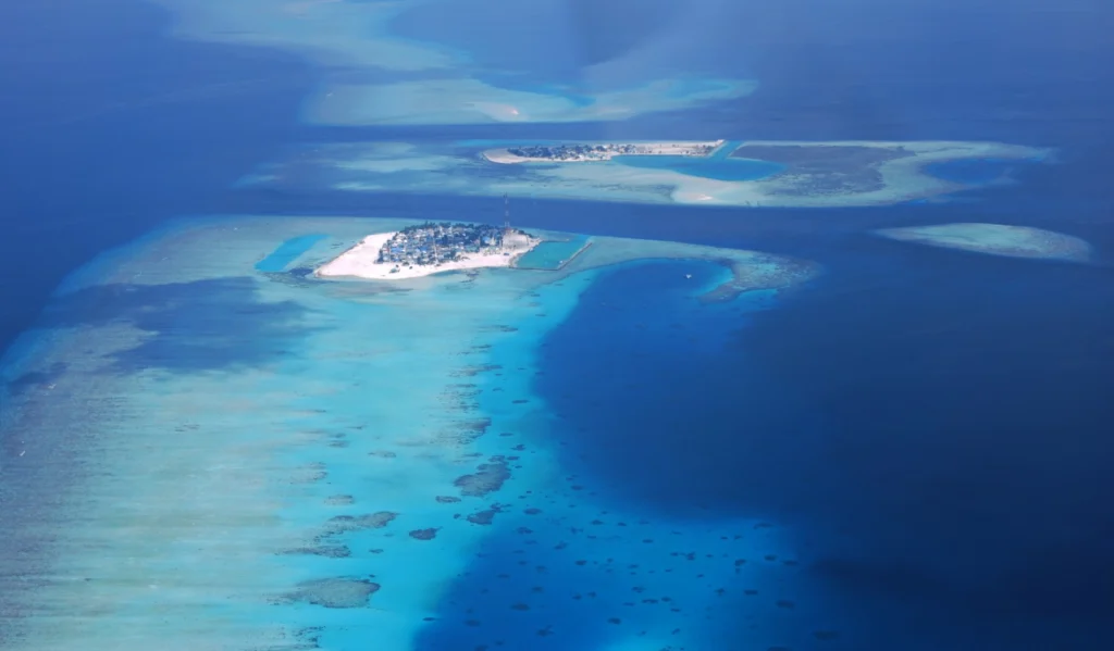
Covering a total area of 298 km², the idylic natural atolls and reefs of the Maldives stretch across the Indian Ocean. The tropical nation is famous for it’s crystal clear waters and picture perfect white sand beaches, but how did the 26 ring-shaped atolls and over 1000 coral islands form? Coral reefs commonly form immediately …[Read More]

Imaggeo on Mondays: A prehistoric forest

Imaggeo on Mondays: A prehistoric forest

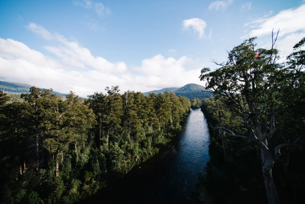
This stunning vista encompasses the south-western wilderness of Tasmania as seen from the Tahune air walk 60 m above the Huon river valley. In front lies the beginning of a huge UNESCO World Heritage Site, covering almost a fourth of the area of Tasmania. The site mostly consists of a pristine, temperate rainforest of Gondwanan …[Read More]

Is it an earthquake, a nuclear test or a hurricane? How seismometers help us understand the world we live in

Is it an earthquake, a nuclear test or a hurricane? How seismometers help us understand the world we live in

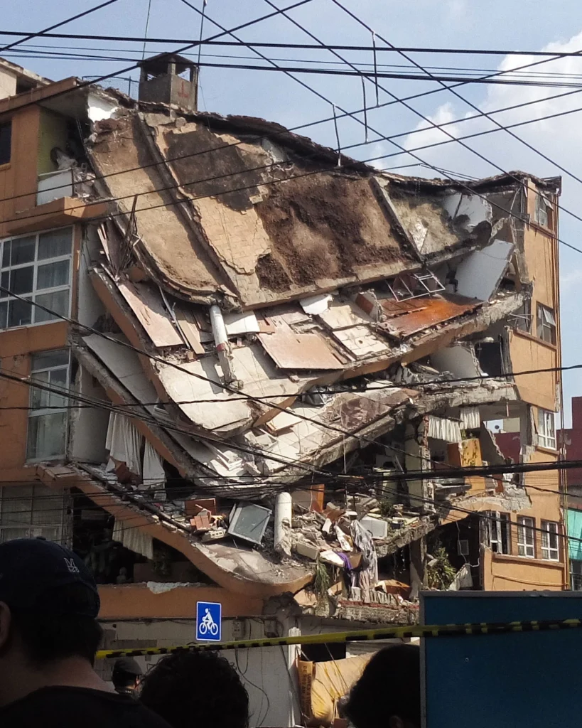
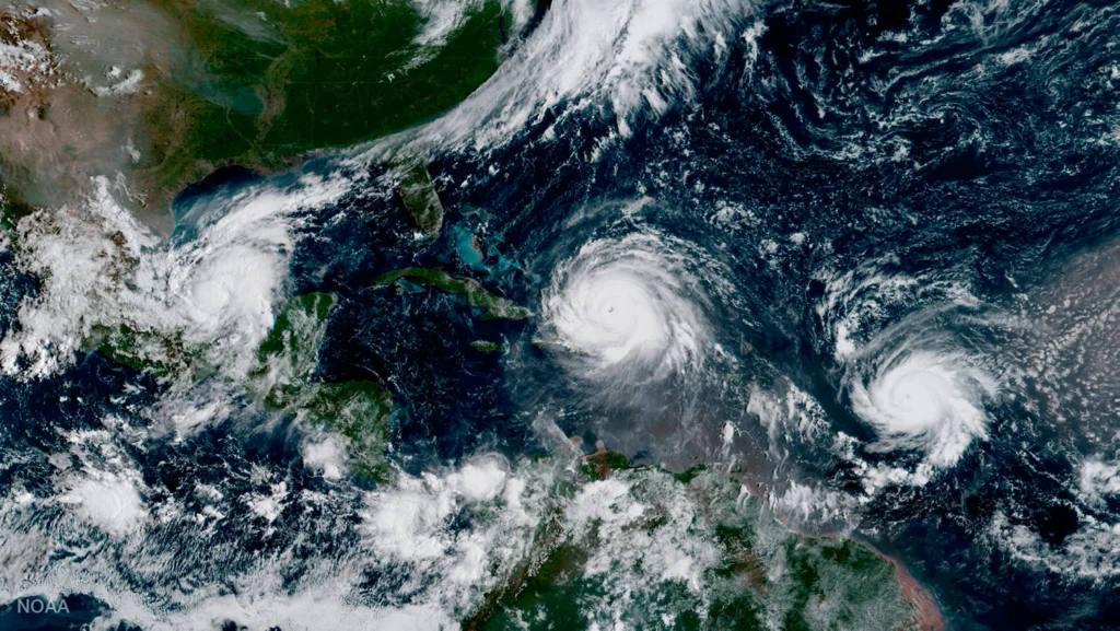
Although traditionally used to study earthquakes, like today’s M 8.1 in Mexico,  seismometers have now become so sophisticated they are able to detect the slightest ground movements; whether they come from deep within the bowels of the planet or are triggered by events at the surface. But how, exactly, do earthquake scientists decipher the signals …[Read More]

Imaggeo on Mondays: Viñales Valley

Imaggeo on Mondays: Viñales Valley

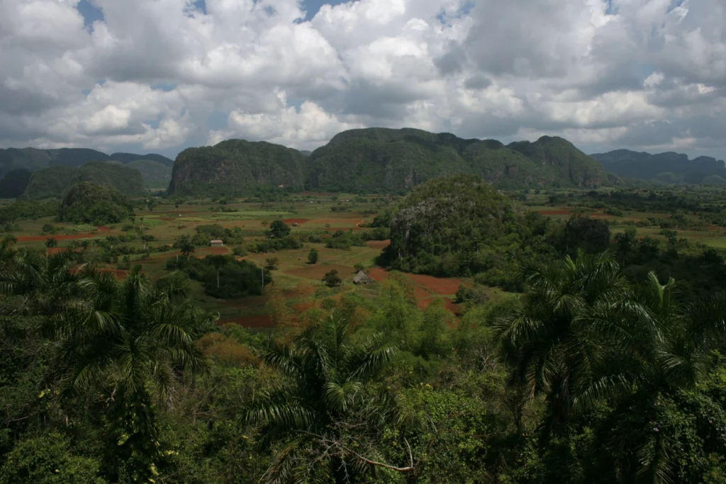
From last week’s unusual desert landscape to this week’s lush valley in Cuba… The picture shows the Vinales Valley, a karstic depression with mogotes in western Cuba. Karst is the general term for landscapes formed when limestone is disolved by carbonic acid, in rain water. This leads, in particular, to the formation of an underground …[Read More]