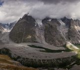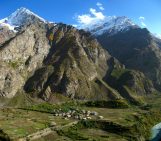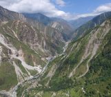
The Annapurna massif is located in an imposing 55 km long collection of peaks in the Himalayas, which behave as a single structural block. Composed of one peak (Annapurna I Main) in excess of 8000 m, a further thirteen peaks over 7000 m and sixteen more of over 6000 m, the massif forms a striking structure within the Himalayas.
Annapurna I Main, the tenth highest peak in the world, is towering at an impressive 8,091 m. Renowned for its difficult climbing conditions, it holds one of the highest fatality rates of the 8000+ peaks. October 2014 marked a particular dark period in the mountain’s climbing history when 39 trekkers were killed during severe snowstorms and avalanches while completing a popular hike circling Annapurna I.
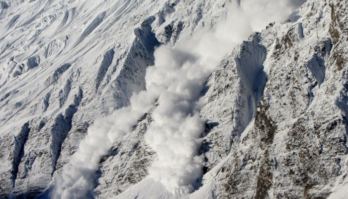
Martin Struck, a PhD student at the University of Wollongong, Australia, captured this extraordinary photograph of a surging avalanche early one morning in October 2012. Martin visited the Annapurna massif as part of his Diploma project at the University of Potsdam about suspended sediment fluxes in the Kali Gandaki River which cuts the world’s deepest gorge through the Himalayas between the Annapurna and Dhaulagiri massifs. The snow avalanche careered down the ~35° sloping northeast flank of Tilicho himal, a peak only 10 km away from the Annapurna I summit.
“The avalanche is one of five I spotted that morning in the area. The tracks and runout zones of previous snow and/or dry snow avalanches are clearly visible in the image,” describes Martin.
He explains that rising morning temperatures triggered the avalanches, causing the failure of stable snow which had fallen on the night before.
The area is close to Tilicho Lake, located at about 4900 m above sea level, and one of many Himalayan glacial lakes which play a crucial role in the supply of water to the inhabitants of Nepal.
“Snow and glacial melt contribute approximately 10% to the annual discharge of the main Nepalese rivers, but are of significant important outside the monsoon season,” explains Martin.
Earlier on this year, a study published in the open access journal, The Cryosphere, found that if greenhouse-gas emissions continue to rise, glaciers in the Everest region of the Himalayas could experience dramatic change in the decades to come. The glacier model used in the paper shows that glacier volume could be reduced between 70% and 99% by 2100. The findings have important implications for the future availability of water in the region: a significant decrease in glacial volume would have consequences for agriculture and hydropower generation. You can learn more about this research and it’s consequences in this Press Release: Glacier changes at the top of the world – Over 70% of glacier volume in Everest region could be lost by 2100.
Imaggeo is the EGU’s online open access geosciences image repository. All geoscientists (and others) can submit their photographs and videos to this repository and, since it is open access, these images can be used for free by scientists for their presentations or publications, by educators and the general public, and some images can even be used freely for commercial purposes. Photographers also retain full rights of use, as Imaggeo images are licensed and distributed by the EGU under a Creative Commons licence. Submit your photos at http://imaggeo.egu.eu/upload/.

