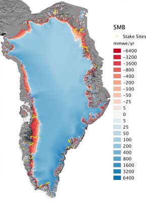
The Greenland ice sheet – the world’s second largest ice mass – stores about one tenth of the Earth’s freshwater. If totally melted, this would rise global sea level by 7.4 m, affecting low-lying regions worldwide. Since the 1990s, the warmer atmosphere and ocean have increased the melt at the surface of the Greenland ice sheet, accelerating the ice loss through increased runoff of meltwater and i ...[Read More]
Image of the Week – The ups and downs of sea ice!
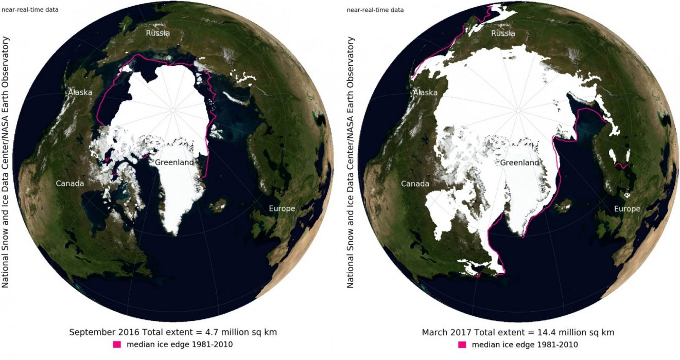
The reduction in Arctic sea-ice cover has been in the news a lot recently (e.g. here) – as record lows have been observed again and again within the last decade. However, it is also a topic which causes a lot of confusion as so many factors come into play. With this Image of the Week we will give you a brief overview of the ups and downs of sea ice! In general, Arctic sea ice is at its minim ...[Read More]
Image of the Week — Microbes munch on iron beneath glaciers
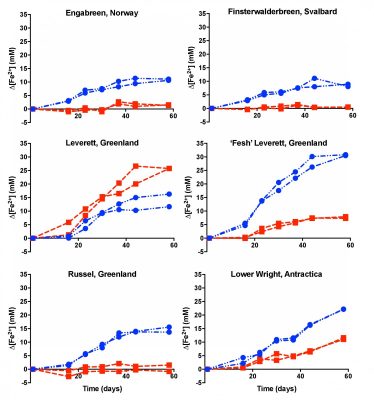
The interface between a glacier and its underlying bedrock is known as the subglacial zone. Here lie subglacial sediments, the product of mechanical crushing of the rock by the glacial ice. Despite their lack of sunlight, nutrients and oxygen, subglacial sediments host active and diverse communities of microorganisms. What we (don’t) know about subglacial microorganisms The past few decades ...[Read More]
Image of the Week – Ice on Fire (Part 2)
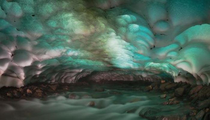
This week’s image looks like something out of a science fiction movie, but sometimes what we find on Earth is even more strange than what we can imagine! Where the heat of volcanoes meets the icy cold of glaciers strange and wonderful landscapes are formed. The Kamchatka Peninsula, in the far East of Russia, has the highest concentration of active volcanoes on Earth. Its climate is cold due ...[Read More]
Image of The Week – Ice Flows!
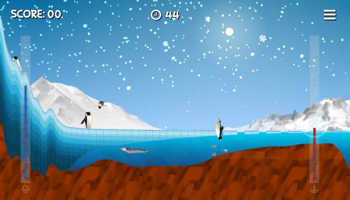
Portraying ice sheets and shelves to the general public can be tricky. They are in remote locations, meaning the majority of people will never have seen them. They also change over timescales that are often hard to represent without showing dramatic images of more unusual events such as the collapse of the Larsen B Ice Shelf. However, an app launched in the summer at the SCAR (Scientific Committe ...[Read More]
Image of the Week — Hidden lakes in East Antarctica !
Who would have guessed that such a beautiful picture could get you interviewed for the national news?! Certainly not me! And yet, the photo of this englacial lake (a lake trapped within the ice in Antarctica), or rather science behind it, managed to capture the media attention and brought me, one of the happy co-author of this study, on the Belgian television… But what do we see on the pic ...[Read More]
Image of The Week – The Pulsating Ice Sheet!
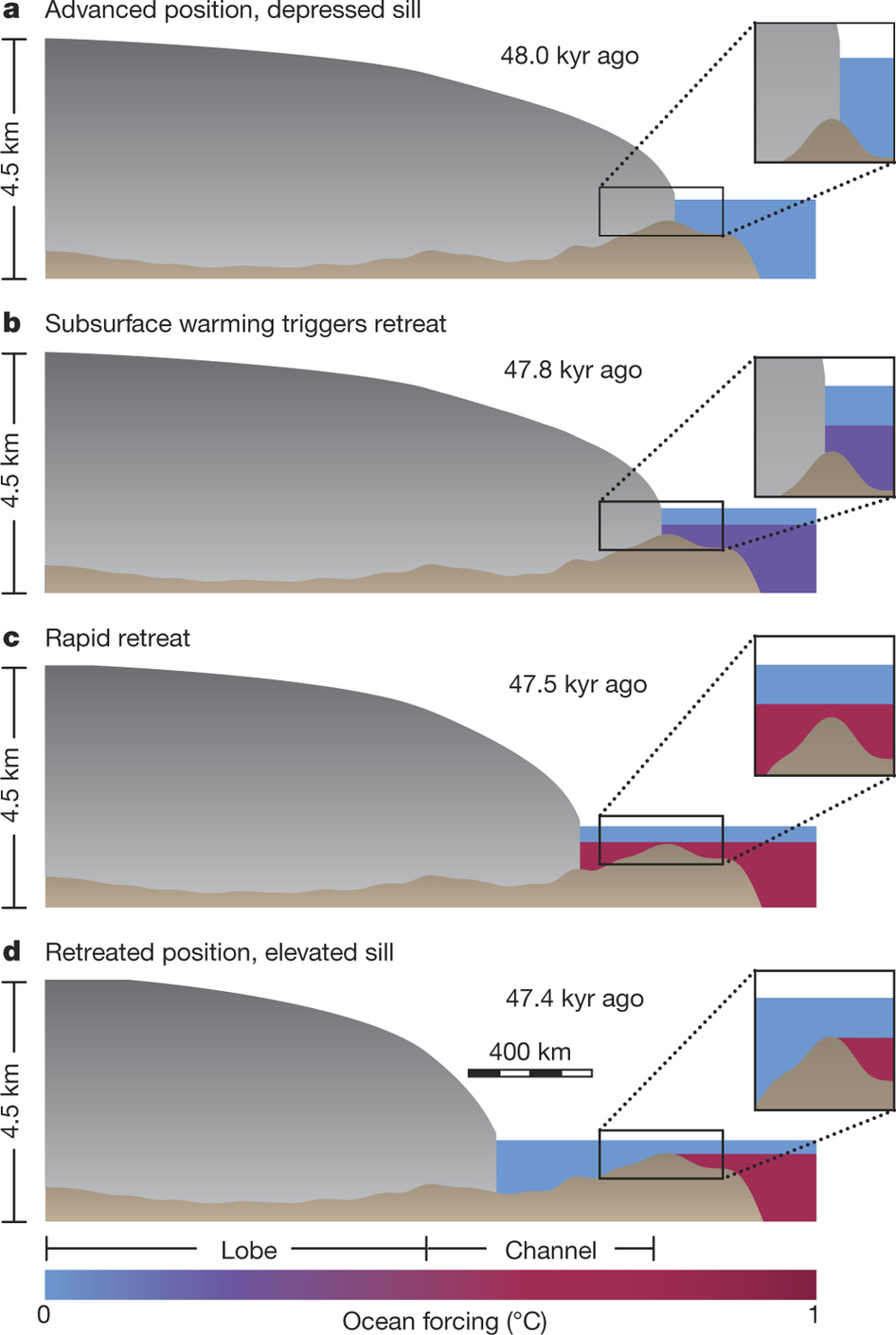
During the last glacial period (~110,000-12,500 years ago) the Laurentide Ice Sheet (North America) experienced rapid, episodic, mass loss events – known as Heinrich events. These events are particularly curious as they occurred during the colder portions of the last glacial period, when we would intuitively expect large-scale mass loss during warmer times. In order to understand mass loss m ...[Read More]
Image of the Week — The ice blue eye of the Arctic
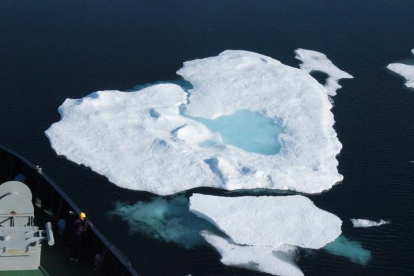
“Positive feedback” is a term that regularly pops up when talking about climate change. It does not mean good news, but rather that climate change causes a phenomenon which it turns exacerbates climate change. The image of this week shows a beautiful melt pond in the Arctic sea ice, which is an example of such positive feedback. What is a melt pond? The Arctic sea ice is typically non-smooth, and ...[Read More]
Image of the Week – Icelandic glaciers monitored from space!
Located in the North Atlantic Ocean, just south of the polar circle, Iceland is a highly fascinating land. Covered by some of the largest glaciers in Europe and hosting active volcanoes, geothermal sites and subglacial lakes, it is extremely dynamic in nature and ever changing. With this Image of the Week we will tell you a bit about the changing ice caps of Iceland and how we can monitor them fro ...[Read More]
Image of the Week – Apocalypse snow? … No, it’s sea ice!
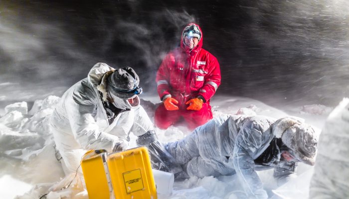
Sea ice brine sampling is always great fun, but sometimes somewhat challenging ! As sea water freezes to form sea ice, salts in the water are rejected from the ice and concentrate in pockets of very salty water, which are entrapped within the sea ice. These pockets are known as “brines”. Scientists sample these brines to measure the physical and bio-geochemical properties, such as: tem ...[Read More]