GeoLog

imaggeo on mondays

Imaggeo on Mondays: Happy holidays!
Imaggeo on Mondays: Happy holidays!
The EGU wishes all our readers happy holidays and very warm wishes for the new year. And for a chance to be featured on GeoLog throughout the new year, don’t forget to submit your field and lab based photographs and other visuals to Imaggeo: our open access image repository. All geoscientists (and others) can submit their photos and videos to this gallery and, since it is open access, these images ...[Read More]

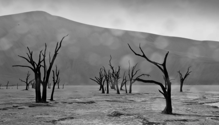
Imaggeo on Mondays: Rain on the Namib Desert

Imaggeo on Mondays: Rain on the Namib Desert

Pictured here is the arid Namib Desert on a not-so-arid day. The desert is known for its extremely dry conditions and abundance of sunshine, but this photo, taken by Christoph Schmidt, chair of geomorphology at the University of Bayreuth in Germany, gives us a rare glimpse of a rainy day. The Namib Desert spans about 81,000 square kilometres in southwest Africa, stretching throughout the entire co ...[Read More]

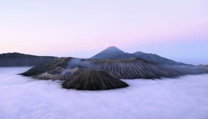
Imaggeo on Mondays: Mount Bromo – volcanic deity

Imaggeo on Mondays: Mount Bromo – volcanic deity

Featured in this photo, rising out from a sea of violet fog at dawn, is one of Indonesia’s most iconic volcanoes, Mount Bromo. The mountain is a large volcanic crater, also known as a caldera, which formed when an ancient cone volcano collapsed in the late Pleistocene and early Holocene epochs, between 126,000 and 8,300 years ago. The current structure stands at 2,392 metres in the eastern region ...[Read More]

Imaggeo on Mondays: Great sand dunes and beyond

Imaggeo on Mondays: Great sand dunes and beyond

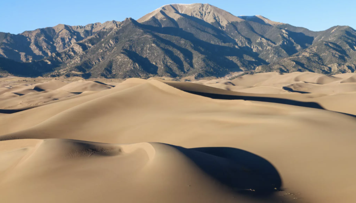
Driving eastwards through the San Luis Valley in south central Colorado, United States, the Great Sand Dunes emerge at the foot of the Sangre de Cristo Range in the northeast of the region’s upland plain. The origin story of these great dunes begins during a time of glacial melt, five to three million years ago, when the rivers of the surrounding mountains filled the basin with water and sediments ...[Read More]

Imaggeo on Mondays: Civita di Bagnoregio – the dying town

Imaggeo on Mondays: Civita di Bagnoregio – the dying town

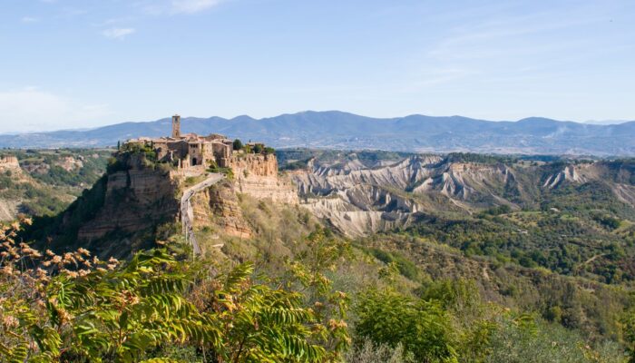
On top of a steep cliff standing out from the surrounding countryside, lies the small town of Civita di Bagnoregio, one of the most famous villages of Italy. It is often called the dying town, although more recently people have started to refer to it as fighting to live. What this little town is fighting against is the threat of erosion, as its walls are slowly crumbling down. Located in central I ...[Read More]

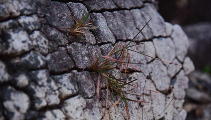
Imaggeo on Mondays: Rocks weather, soil takes form

Imaggeo on Mondays: Rocks weather, soil takes form

This image depicts the soil formation, that is weathering of rock. Soil is actually formed by weathering of rock by physical, chemical and biological methods. This image depicts physical and biological weathering. Physical weathering by the action of temperature and biological weathering by the growth of some species of grass through the cracks. Image clicked from Trivandrum district of Kerala, In ...[Read More]

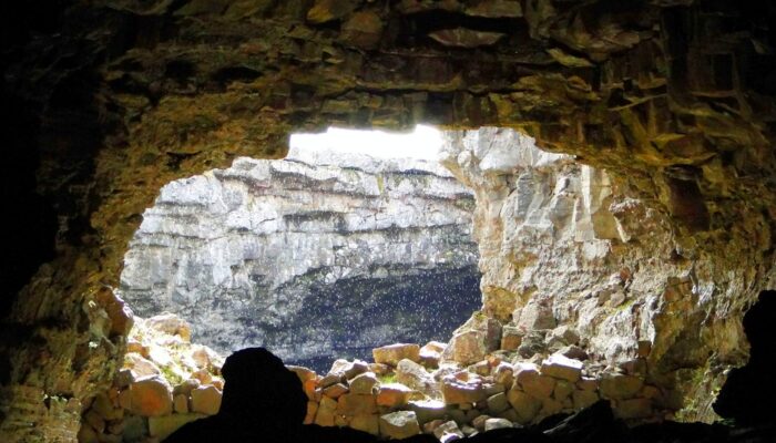
Imaggeo on Mondays: Subsurface meteorolgy in Iceland

Imaggeo on Mondays: Subsurface meteorolgy in Iceland

With a total length of about 2 km, the Surdsellir lava cave is part of the Hallmundarhraun lava field in western Iceland. The caves ceiling is partly broken in, forming entrances and windows towards the earths surface. On this day of typically Icelandic weather, meteorological conditions changed quickly between sun, clouds, rain and wind. While walking through the cave during a rain shower, the su ...[Read More]

Imaggeo on Mondays: A walk at the glacier

Imaggeo on Mondays: A walk at the glacier

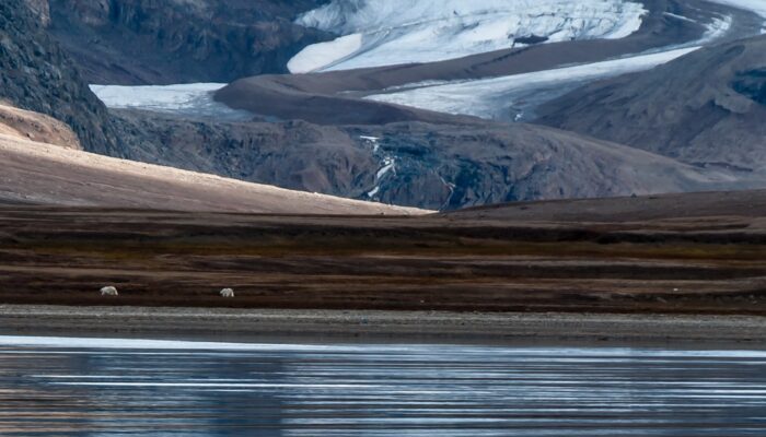
In 2012 I had the opportunity to help lead a teaching excursion to the Norwegian archipelago Svalbard. On this trip, geography students from the Ruhr-University of Bochum in Germany had the chance to learn more about the nature of this fascinating island. In addition to Svalbard’s climatology and the wildlife, the region’s glaciology and geomorphology were the main topics we focused on. For exampl ...[Read More]

Imaggeo on Mondays: An expedition to better understand Antarctic soils

Imaggeo on Mondays: An expedition to better understand Antarctic soils

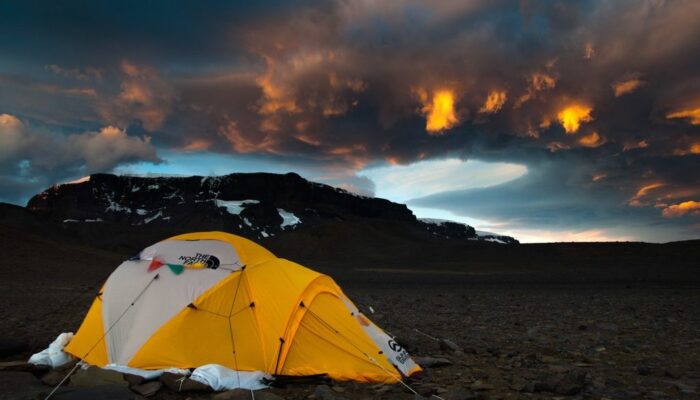
A dramatic evening sky puts the frame to a photo taken during the Brazilian Antarctic expedition to James Ross Island in 2016. Brazilian palaeontologists and soil scientists together with German soil scientists spent over 40 days on the island to search for fossils and sample soils at various locations of the northern part of the island. The island was named after Sir James Clark Ross who led the ...[Read More]

Imaggeo on Mondays: how short-term storms can impact our landscapes

Imaggeo on Mondays: how short-term storms can impact our landscapes

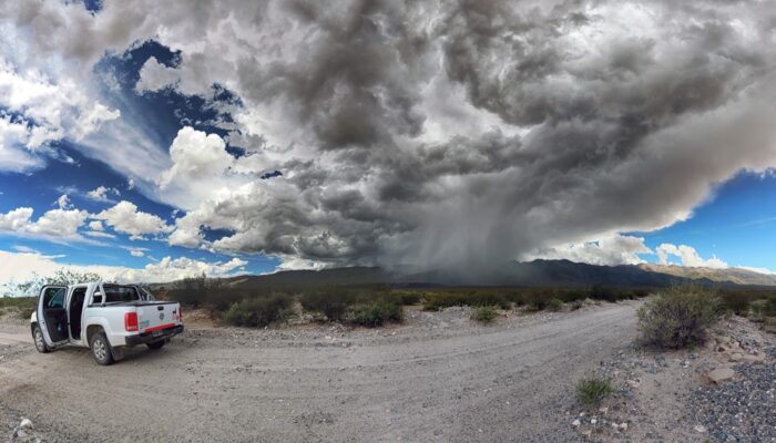
In the Sierra de Aconquija, a mountain range in the southern Central Andes of Argentina, strong storms often come and go at a moment’s notice, but they can have a long-lasting impact on the Earth’s surface. The thunderstorm cell featured in this photo formed in less than half an hour, giving all those nearby only a few minutes to take cover. Mitch D’Arcy, a geomorphologist and postdoctoral researc ...[Read More]