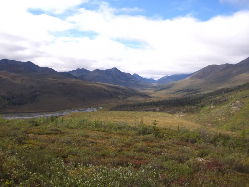
This week’s Imaggeo image is brought to you by one of our network bloggers, Matt Herod. Of the image, Matt said ” this particular one is one of my all time favourites. I have even blown it up and hung it on my wall at home,” and we couldn’t agree more; this Canadian landscape is …[Read More]
geomorphology
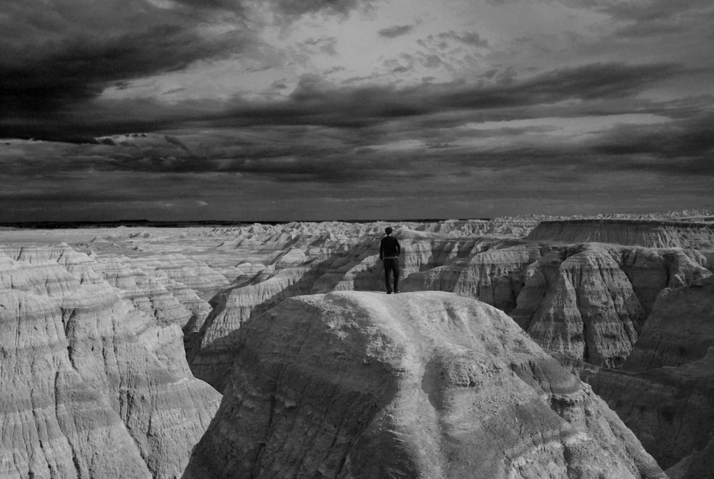
Imaggeo on Mondays: A voyage through scales – The Badlands National Park, South Dakota.
Layer upon layer of sand, clay and silt, cemented together over time to form the sedimentary units of the Badlands National Park in South Dakota, USA. The sediments, delivered by rivers and streams that criss-crossed the landscape, accumulated over a period of millions of years, ranging from the late Cretaceous Period (67 to 75 million …[Read More]
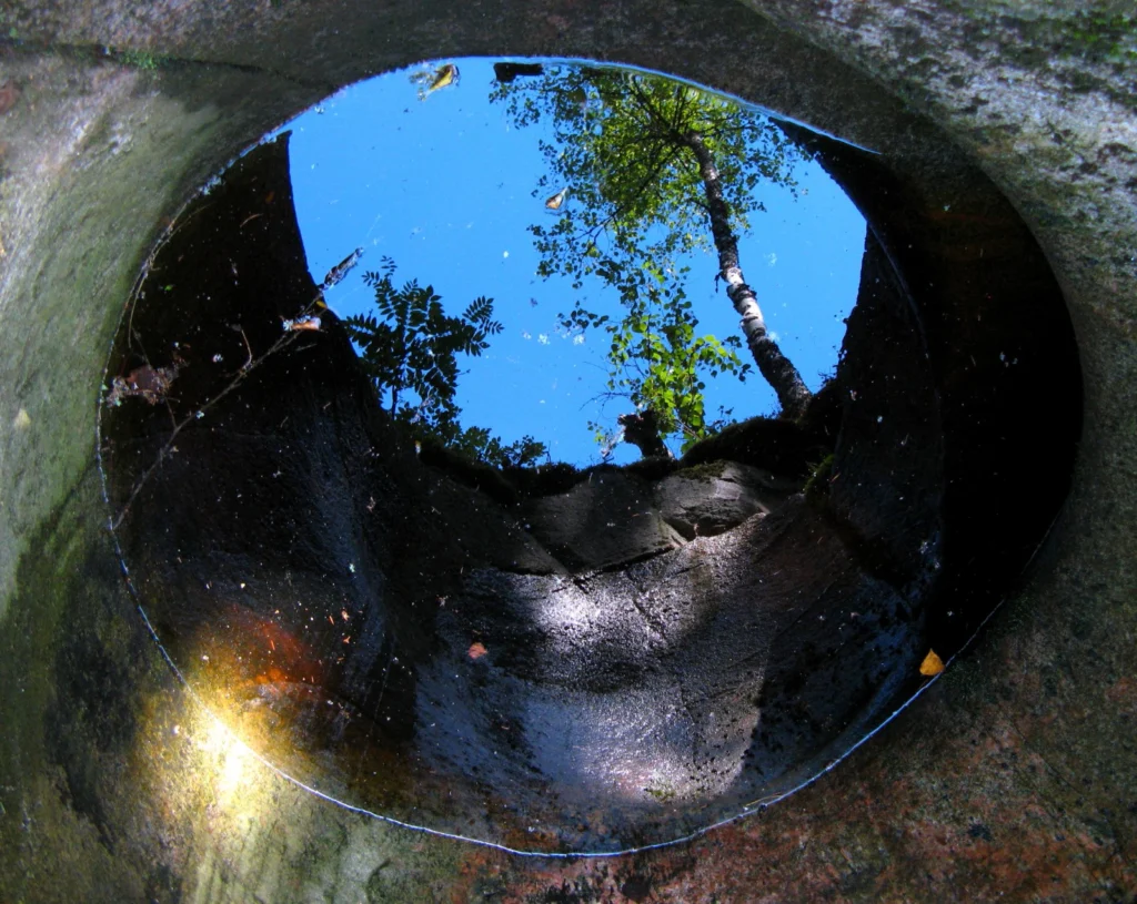
Imaggeo on Mondays: Seeing the world through a pothole
A beautiful image of a forest reflected in a pool of water within a pothole in southern Finland is this Monday’s Imaggeo image and it brought to you by Mira Tammelin, a Finish researcher. The photo illustrates a pothole in the Askola pothole area in southern Finland. The pothole area is situated on the steep slopes …[Read More]
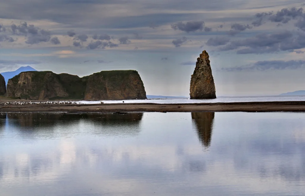
Imaggeo on Mondays: Finger Rock
Standing proud amongst the calm waters of Golovnina Bay is ‘The Devil’s Finger’, a sea stack composed of volcanic sediments. Located on the Pacific coast of Kunashir Island -which is controlled by Russia but claimed by Japan – the stack is testament to the volcanic nature of the region. The island itself is formed of …[Read More]
The known unknowns – the outstanding 49 questions in Earth Sciences (Part IV)
We are coming to the end of the known unknowns series and so far we have explored issues which mainly affect the inner workings of our planet. Today we’ll take a look at the surface expression of the geological processes which shape the Earth. Topography significantly affects our daily life and is formed via an …[Read More]
Imaggeo on Mondays: A massive slump
One of the regions that has experienced most warming over the second half of the 20th century is the Potter Peninsula on King George Island in Antartica. It is here that Marc Oliva and his collaborators are studying what the effects of the warming conditions on the geomorphological processes prevailing in these environments. “Permafrost is …[Read More]
GeoEd: Why fieldwork is essential to training the next generation of Geoscientists
Our latest GeoEd article is brought to you by Simon Jung, a lecturer and palaeoceanographer from the University of Edinburgh, who highlights what makes fieldwork a brilliant way to understand Earth processes… Studying geosciences involves training across a broad range of natural sciences. Only equipped with such background knowledge will students be able to grasp …[Read More]
Imaggeo on Mondays: Rockscape
A geologist out in the field is often the one doing the mapping, but sometimes you might just find a map while you’re out there. Martin Reiser shares how he stumbled one such stunning feature… The picture shows colourful marly layers in a Triassic limestone of northwest Albania (Lezhe region). The marly layers have developed …[Read More]