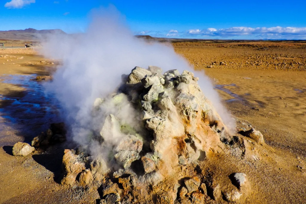
The heat seeping from the geothermal area which is part of the Krafla volcanic system in Iceland, ‘powers’ the steaming vent at Hverir (Hverarönd). The area is well known for its mud pots and sulphuric gas fumaroles, complete with pungent eggy smell. Some of the vents are in fact boreholes drilled in the 50’s for …[Read More]
Field Work
Imaggeo on Mondays: Erebus Ice Tongue Cave
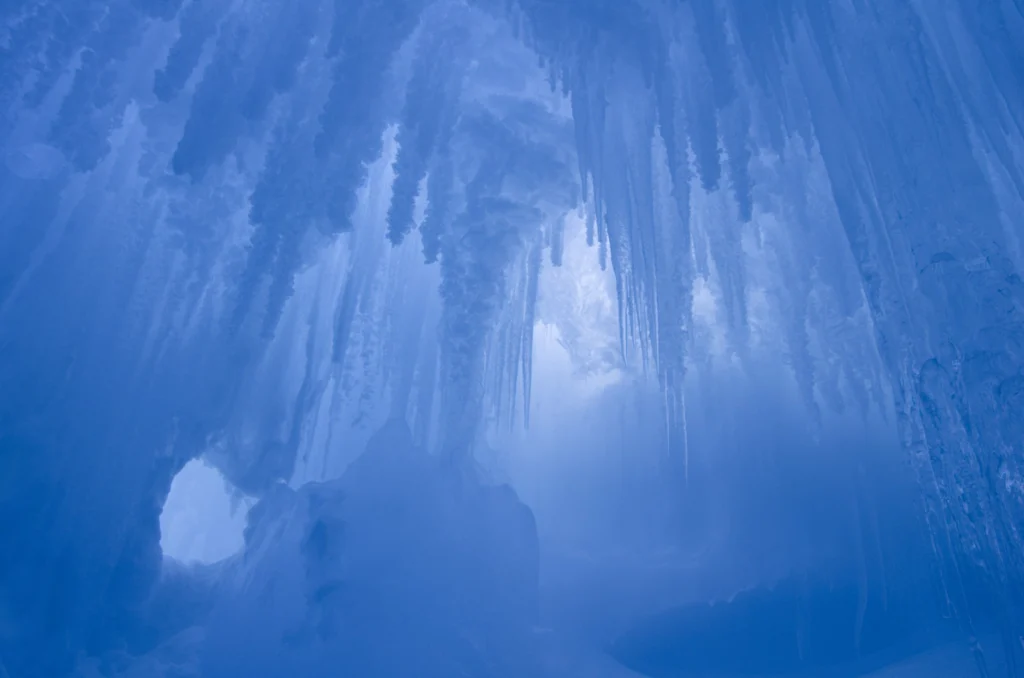
The interior of this ice cave at the Erebus glacier tongue is cathedral-like. Imagine standing in the cold interior, icy blue stalactites dangling from the cave roof; the sense of awe is overwhelming. Mt. Erbus is the world’s southernmost active volcano on Ross Island, in Antarctica. Winding its way down its lower slopes is Erebus …[Read More]
Imaggeo on Mondays: Natural Bridges Monument, Utah, USA
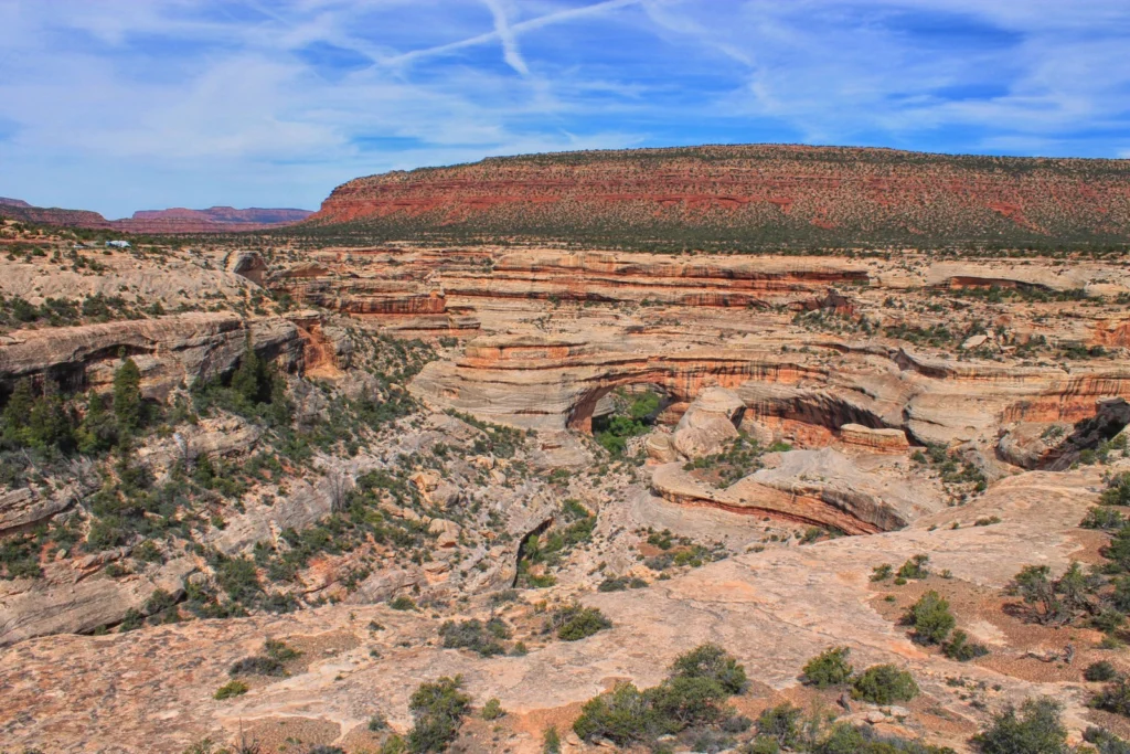
Slowly but surely, the force of water has carved out a beautiful landscape in the sandstones of the Colorado Plateau. Suspended over canyons, naturally formed bridges and arches are the starts of Utah’s first national monument. The geological and modern history of the region is rich as Kimberly Galvez, a student of the University of …[Read More]
Artificial floods: Restoring the ecological integrity of rivers
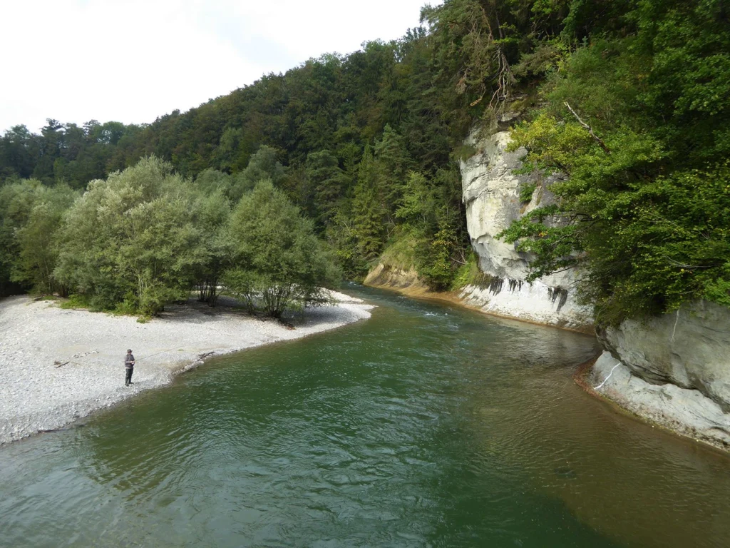
“You can never step into the same river, for new waters are always flowing on to you.” —Heraclitus of Ephesus Rushing rivers, with their unremitting twists and turns and continuous renewal, are often used as a metaphor for life, but the analogy is just as appropriate for scientific research, I reflected as I walked along …[Read More]
Imaggeo on Mondays: Sedimentary record of catastrophic floods in the Atacama desert
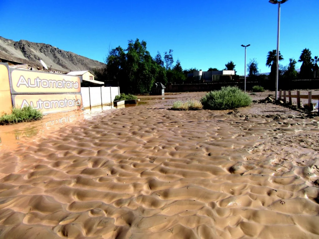
Despite being one of the driest regions on Earth, the Atacama desert is no stranger to catastrophic flood events. Today’s post highlights how the sands, clays and muds left behind once the flood waters recede can hold the key to understanding this natural hazard. During the severe rains that occurred between May 12 and 13, …[Read More]
Imaggeo on Mondays: Polar backbone (Arctic Ocean)
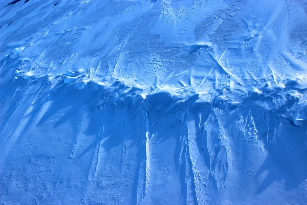
This image was taken during the Arctic Ocean 2016(AO16) expedition that ventured to the central regions of the Arctic Ocean, including the North Pole. It shows a pressure ridge, or ice ridge, as viewed from onboard the deck of the icebreaker Oden. It was quite striking that the ice ridge resembled an image of a …[Read More]
Imaggeo on Mondays: Sneaking up from above
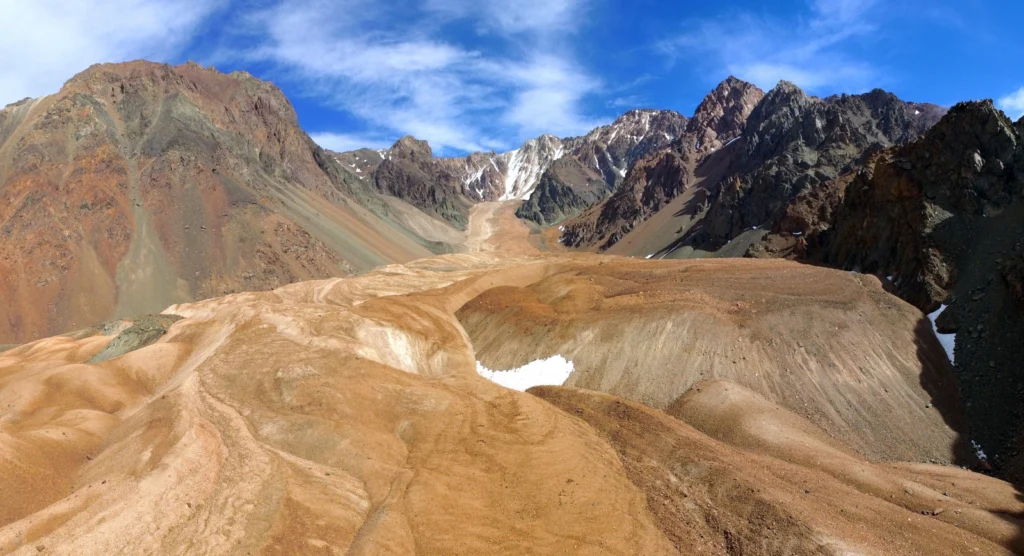
Take some ice, mix in some rock, snow and maybe a little mud and the result is a rock glacier. Unlike ice glaciers (the ones we are most familiar with), rock glaciers have very little ice at the surface. Looking at today’s featured image, you’d be forgiven for thinking the Morenas Coloradas rock glacier wasn’t …[Read More]
April GeoRoundUp: the best of the Earth sciences from the 2017 General Assembly
This month’s GeoRoundUp is a slight deviation from the norm. Instead of drawing inspiration from popular stories on our social media channels and unique or quirky research featured in the news, we’ve rounded up some of the stories which came out of researcher presented at our General Assembly (which took place last week in Vienna). …[Read More]
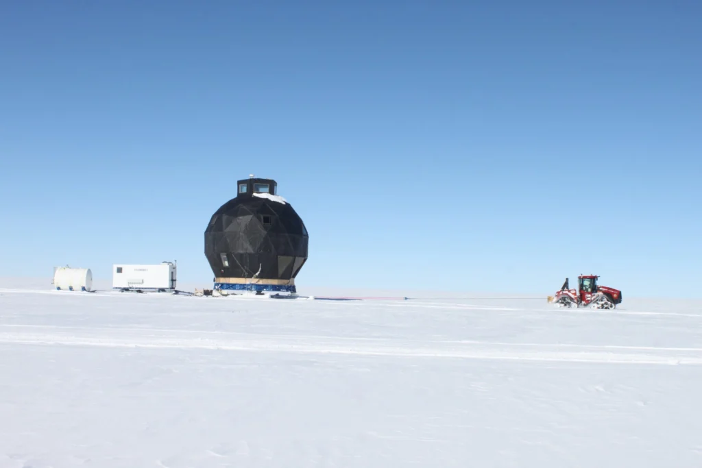
Imaggeo on Mondays: An epic ‘house’ move across the ice
In 2008 the NEEM Deep Ice Core Project was initiated by 14 partner countries in Northwestern Greenland (camp position 77.45°N 51.06°W) with the aim to drill from the very top of the Greenland ice cap to its base; obtaining ice from as far back as the last interglacial period- the Eemian – some 130,000 years old. …[Read More]
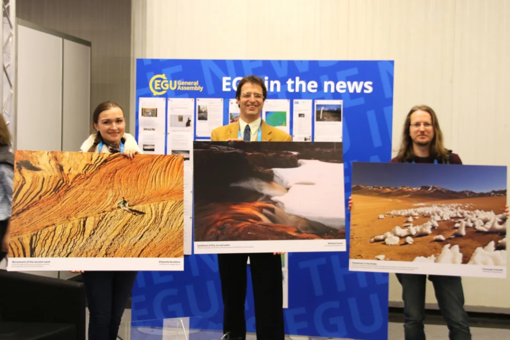
Announcing the winners of the EGU Photo Contest 2017!
The selection committee received over 300 photos for this year’s EGU Photo Contest, covering fields across the geosciences. Participants at the 2017 General Assembly have been voting for their favourites throughout the week of the conference and there are three clear winners. Congratulations to 2017’s fantastic photographers! Penitentes in the Andes by Christoph Schmidt (distributed …[Read More]