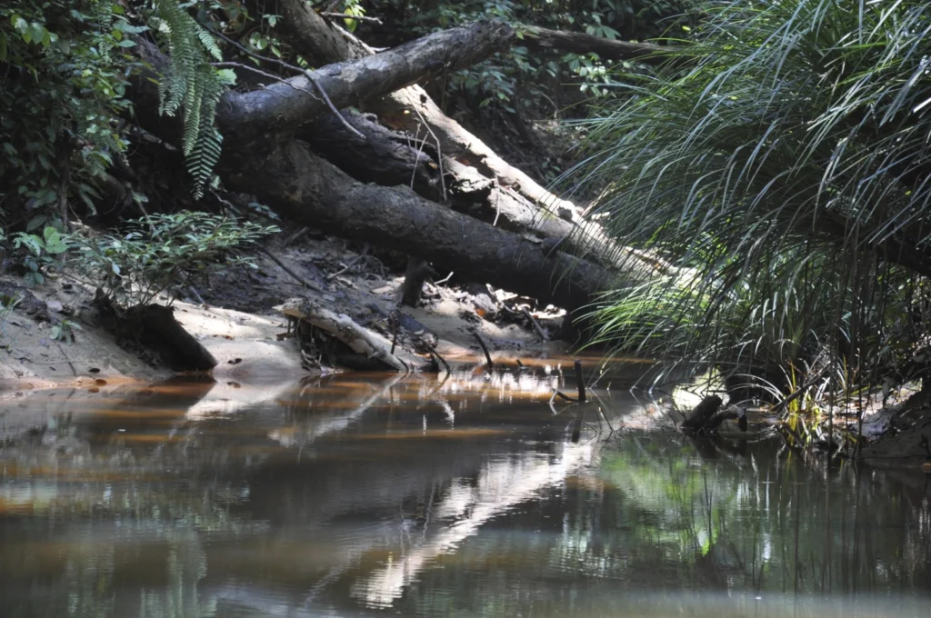
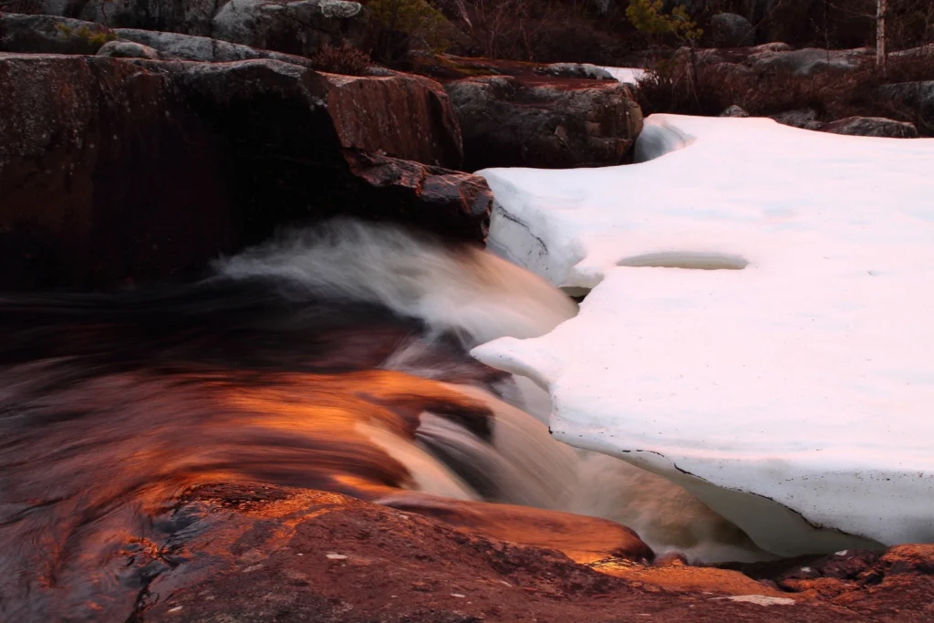
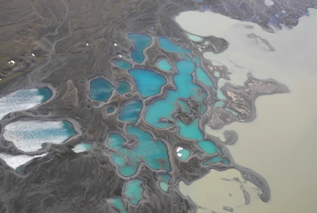
Collapsing dams are a staple of disaster films, but the form that these take in natural systems is also surprisingly varied. Streams and rivers can be blocked by a range of rapid and gradual inputs. One of the lesser-known causes of stream blockage is through the accumulation of large woody debris – tree trunks and …[Read More]
Field Work
Imaggeo on Mondays: One of the oldest evergreen rainforests in the world
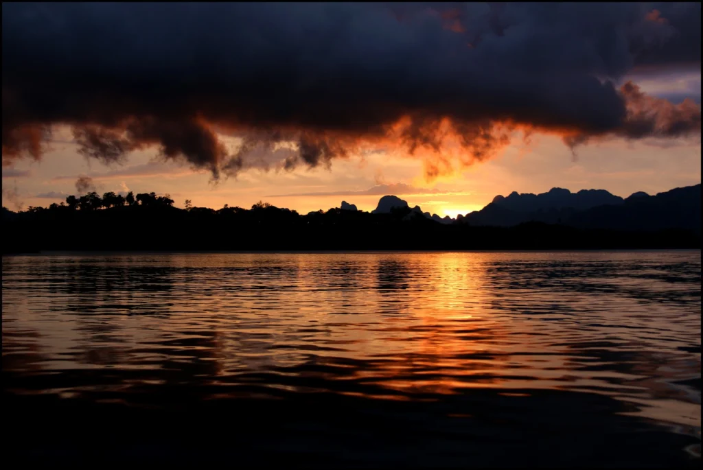
A blazing sky and shimmers cast by water ripples frame the spectacular beauty of one of the world’s oldest treasures: an evergreen rainforest in Thailand. Today’s featured image was captured by Frederik Tack, of the Institute for Space Aeronomy in Brussels. This picture was taken during sunset between the limestone mountains with the sunlight reflecting on …[Read More]
Malawi High School Teacher’s Workshop on Natural Hazards
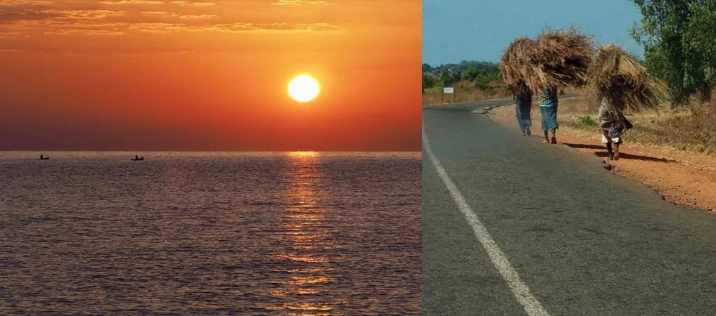
In July 2017, Professor Bruce Malamud and Dr Faith Taylor from King’s College London travelled to Mzuzu, Malawi to work in collaboration with Mr James Kushe from Mzuzu University, Malawi. They delivered an EGU funded workshop at Mzuzu University to high school teachers on natural hazards, with major funding provided by EGU, and also supported …[Read More]
GeoTalk: The anomaly in the Earth’s magnetic field which has geophysicists abuzz
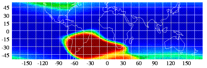
Geotalk is a regular feature highlighting early career researchers and their work. In this interview we speak to Jay Shah, a PhD student at Imperial College London, who is investigating the South Atlantic Anomaly, a patch over the South Atlantic where the Earth’s magnetic field is weaker than elsewhere on the globe. He presented some …[Read More]
Imaggeo on Mondays: What happens to mines when they become redundant?
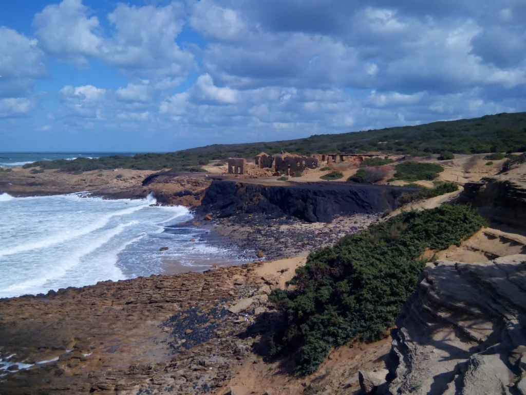
When the minerals run out, or it is no longer profitable to extract the resources, mines shut down. Prior to issuing a permit for the exploitation of a resource, most regulators require assurance that once the mine closes it, or the activities carried out at the site, will not present a risk to human health …[Read More]
Imaggeo on Mondays: Low tide at Alexandra Fjord
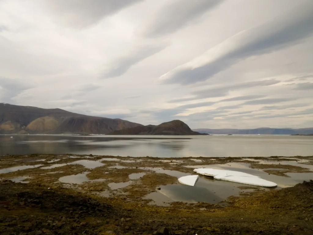
Today’s post takes us to the far northern reaches of our planet, to a desert like nothing you’ve seen before. This picture is a view to the north across Alexandra Fjord, on the east coast of Ellesmere Island, in the Canadian High Arctic, with Sphynx island in the middle of the fjord. The south shore …[Read More]
Imaggeo on Mondays: A dramatic avalanche from Annapurna South
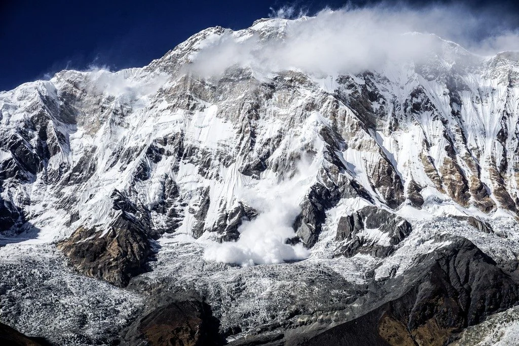
The Annapurna massif is located in an imposing 55 km long collection of peaks in the Himalayas, which behave as a single structural block. Composed of one peak (Annapurna I Main) in excess of 8000 m, a further thirteen peaks over 7000 m and sixteen more of over 6000 m, the massif forms a striking …[Read More]
Volcanic ash layers in Svalbard hold clues to the formation of the North Atlantic
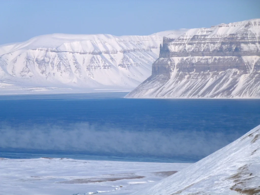
This guest post by Dr Morgan Jones (a Researcher in Volcanology at the Centre of Earth Evolution and Dynamics (CEED) at the University of Oslo, Norway) describes the latest findings of his multidisciplinary research into how the North Atlantic formed. His open access study, in collaboration with colleagues at CEED and the Massachusetts Institute of Technology …[Read More]
Imaggeo on Mondays: Symbiosis of ice and water
This mesmerising photograph is another of the fabulous finalists (and winner) of the 2017 imaggeo photo contest. Imaggeo is the EGU’s open access image repository. It’s a great place to showcase your photographs; so whether you are stuck in the lab this summer, frantically typing away at a paper, or are lucky enough to be …[Read More]
Imaggeo on Mondays: Sediments make the colour
Earth is spectacularly beautiful, especially when seen from a bird’s eye view. This image, of a sweeping pattern made by a river in Iceland is testimony to it. The picture shows river Leirá which drains sediment-loaded glacial water from the Myrdalsjökull glacier in Iceland. Myrdalsjökull glacier covers Katla, one of Iceland’s most active and ice-covered …[Read More]