
Congratulations to Zakaria Ghazoui, the winner of the first ever Communicate Your Science Video Competition 2015. Zakaria is a PhD student at the Institute des Sciences de le Terre (ISTerre) in France, and has been investigating Himalayan lakes using sediment cores. Here is his video, Inside Himalayan Lakes: Display "Inside Himalayan Lakes by Ghazoui Zakaria" …[Read More]
EGU Scientific Divisions
GeoTalk: Explosive testing with Greg Valentine
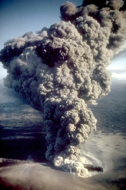
Following his session at the EGU General Assembly, Greg Valentine (Buffalo University) spoke to Sara Mynott about how he creates model volcanoes, specifically maar-diatremes, and blows them up to better understand what goes on in an eruption… So what is a maar-diatreme? A diatreme is a vent-like structure, mostly made up of broken up bedrock …[Read More]
Findings from NASA’s Dawn Mission shed new light on Ceres
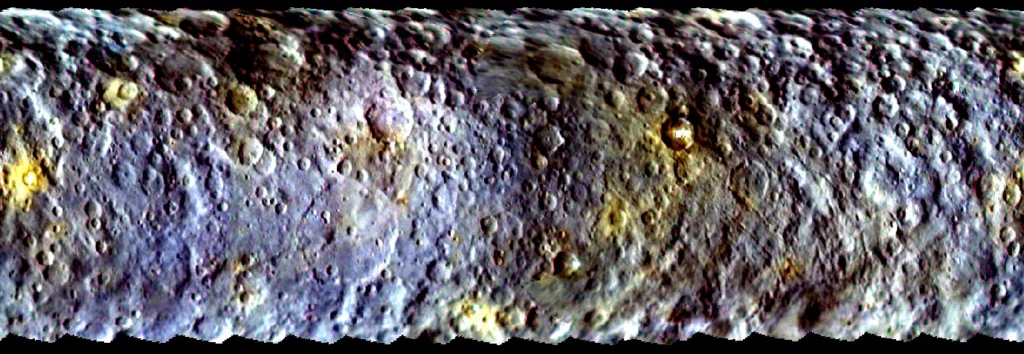
Scientists working on NASA’s Dawn mission revealed new findings from the spacecraft at EGU’s General Assembly. This blog post is brought to you by Nikita Marwaha, reporting on the press conference in Vienna, Austria. The very first press conference of the 2015 General Assembly this year took a closer look at the surface of Ceres. …[Read More]
Imaggeo on Mondays: Mirror Image
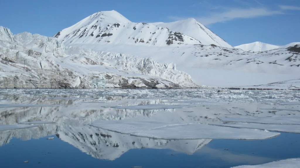
This week’s Imaggeo on Mondays image is brought to you by Fabien Darrouzet, who visited the icy landscapes of Svalbard back in 2012. Whilst the aim of his trip was not to better understand the geology of the landscapes, his eyes were very much focused on goings on up, up in the sky, it didn’t …[Read More]
Imaggeo on Mondays: Drumlins Clew Bay
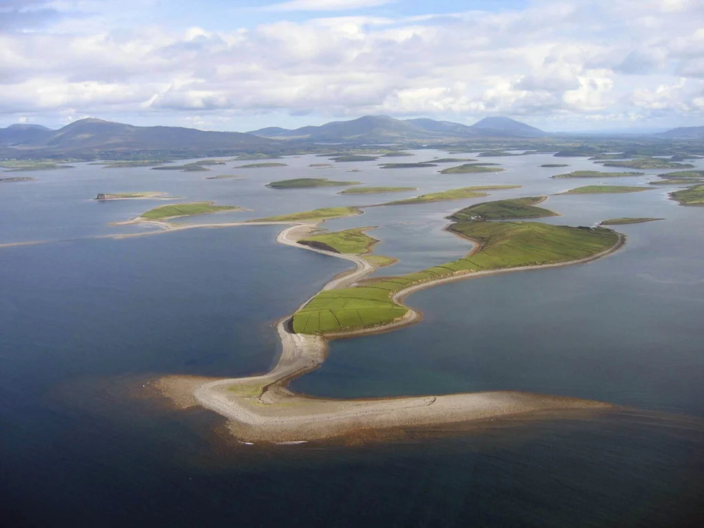
During ice ages landscapes are sculpted by the power of advancing glaciers. From rock scratches, to changing mountains and the formation of corries, cirques and aretes, through to the formation of valleys and fjords, the effects of past glaciations are evident across the northern hemisphere landscape. Perhaps not so familiar, drumlin fields are also vestiges …[Read More]
Communicate your Science Video Competition finalists: time to get voting!
For the second year in a row we’re running the EGU Communicate Your Science Video Competition – the aim being for young scientists to communicate their research in a short, sweet and public-friendly video. Our judges have now selected 3 fantastic finalists from the excellent entries we received this year and it’s time to find …[Read More]
Imaggeo on Mondays: Escullos
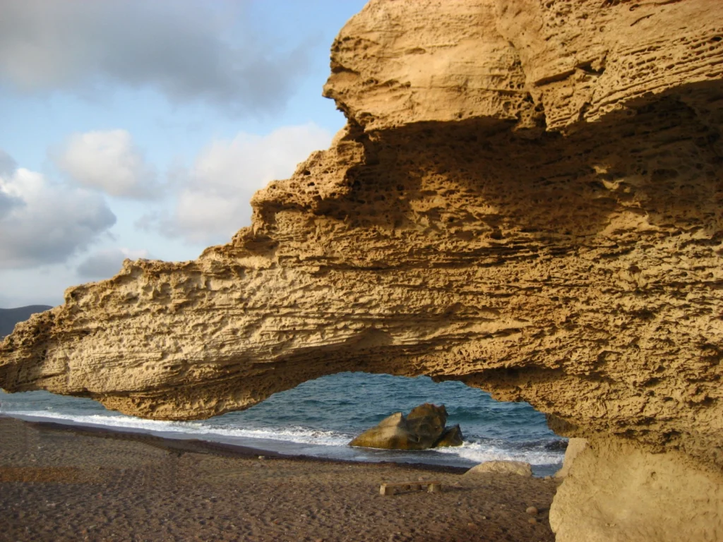
This picture shows a Quaternary aeolianite fossil dune at the Escullos beach, in the Nature Reserve of Cabo de Gata (Almeria, Spain). Originally a soft accumulation of sand grains, shaped by the wind into large mounds and ridges, the dunes eventually turn into rock. As the sediments compact under their own pressure and expel any …[Read More]
Imaggeo on Mondays: Retreating Glacier
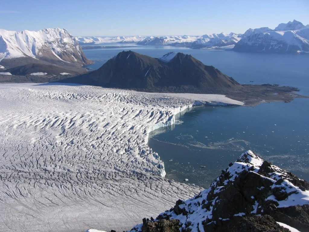
The Svalbard archipelago is considered to be one of the best places to study the geological history of the Earth because its rocks represent every geological period. This image shows a view from the peak of Fugleberget (569 m a. s. l.; 77º 00’ N, 15º 30’ E) on the south-western coast of the island …[Read More]
Imaggeo on Mondays: Pyroclastic flow, Montserrat
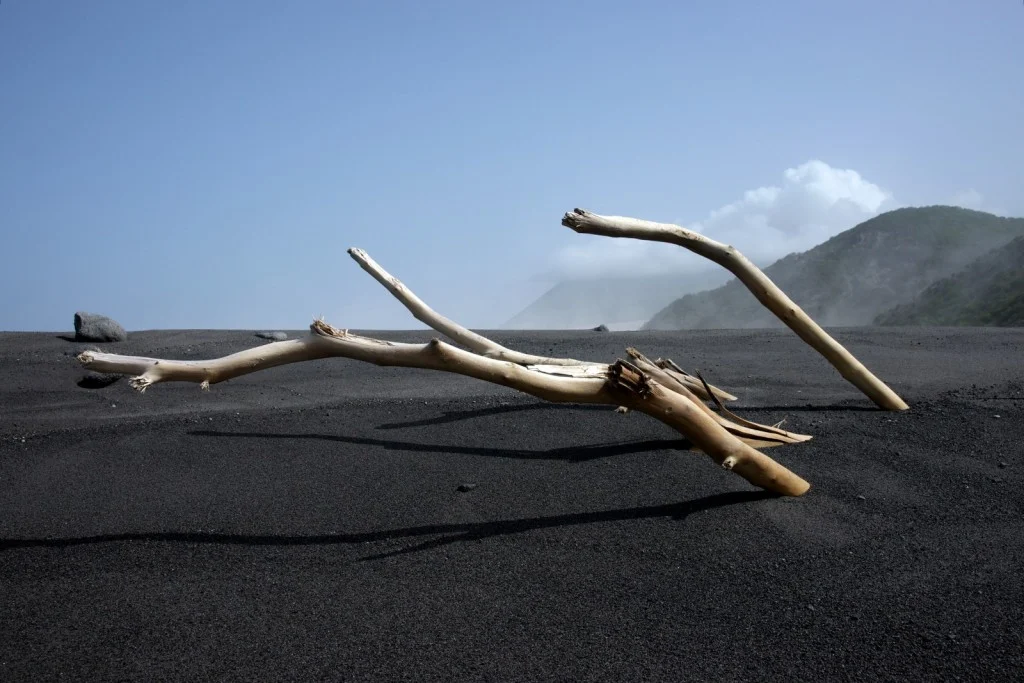
Below the warm and tranquil waters of the Caribbean, some 480 km away from Puerto Rico, the North America Plate is being subducted under the Caribbean Plate. This has led to the formation of the Lesser Antilles volcanic arc; the result of the formation of reservoirs of magma as fluids from the down going North …[Read More]
Imaggeo on Mondays: The largest fresh water lake in world
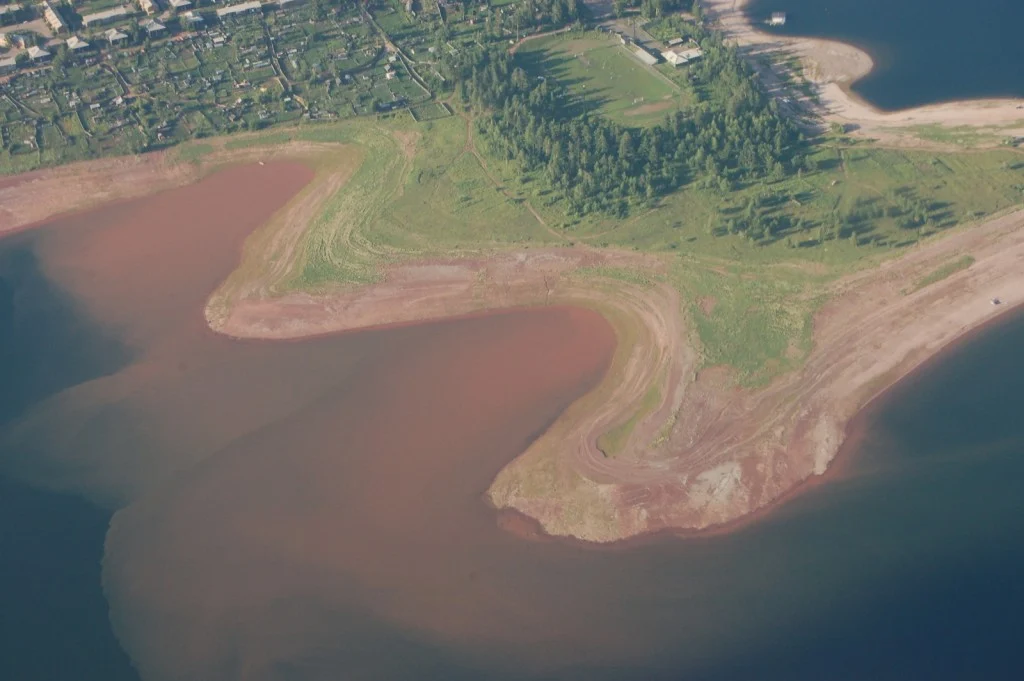
Most lakes in the Northern hemisphere are formed through the erosive power of glaciers during the last Ice Age; but not all. Lake Baikal is pretty unique. For starters, it is the deepest fresh water lake in the world. This means it is the largest by volume too, holding a whopping 23,615.39 cubic kilometres of …[Read More]