GeoLog

EGU Scientific Divisions

Imaggeo on Mondays: Mesopotamia, the ancient land between rivers
Imaggeo on Mondays: Mesopotamia, the ancient land between rivers
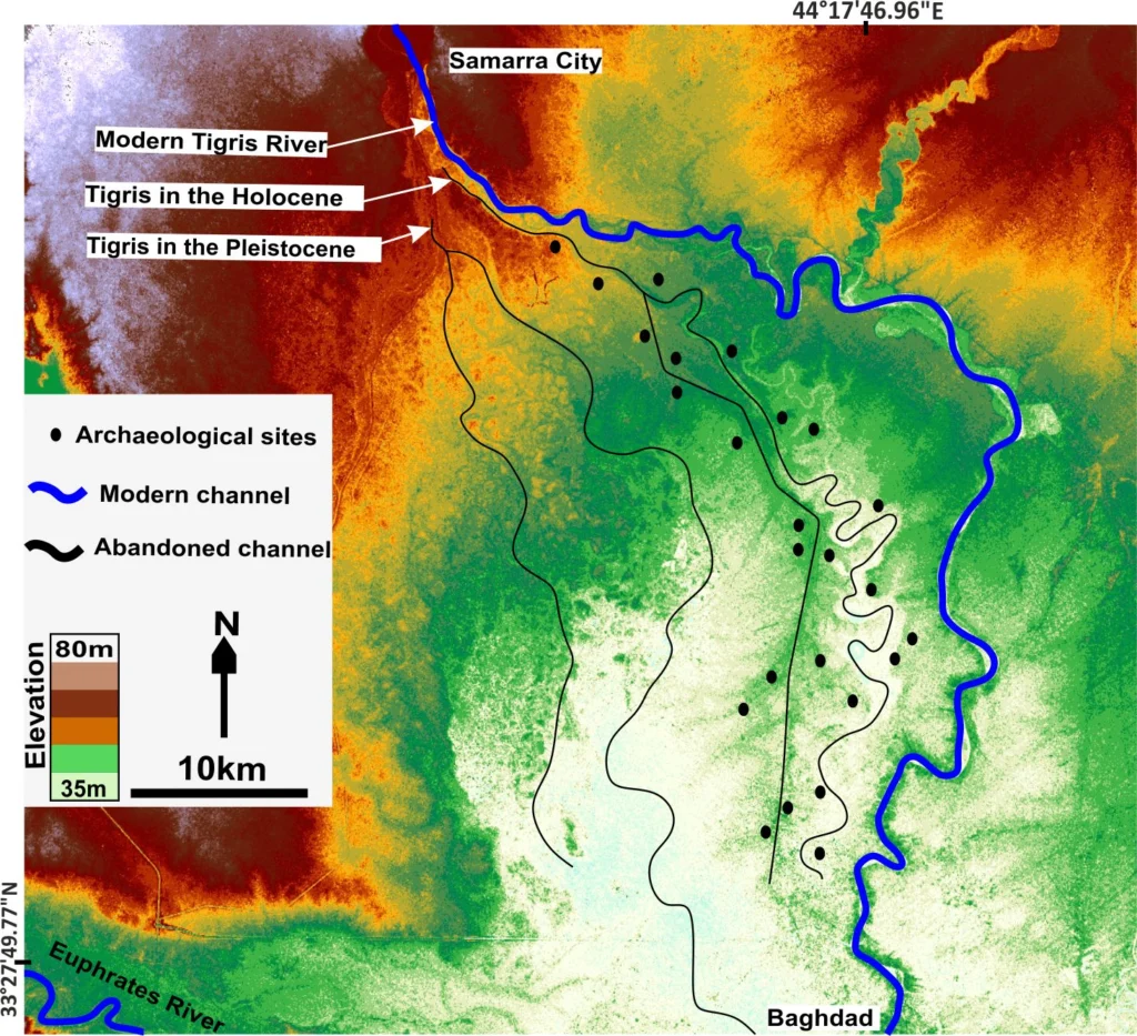
Mesopotamia, an area rich in history and considered as the cradle of civilisation, with the first populations establishing themselves in the region some 6000 years ago,lies between two great rivers: the Euphrates and the Tigris. The ancient territory spans areas of modern-day Iraq, Kuwait, the northeastern section of Syria and small sections of southeastern Turkey …[Read More]

Imaggeo on Mondays: The warming

Imaggeo on Mondays: The warming

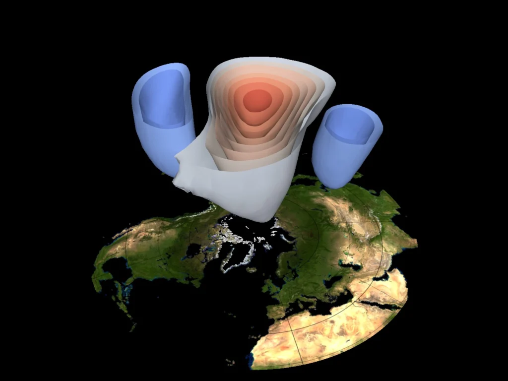
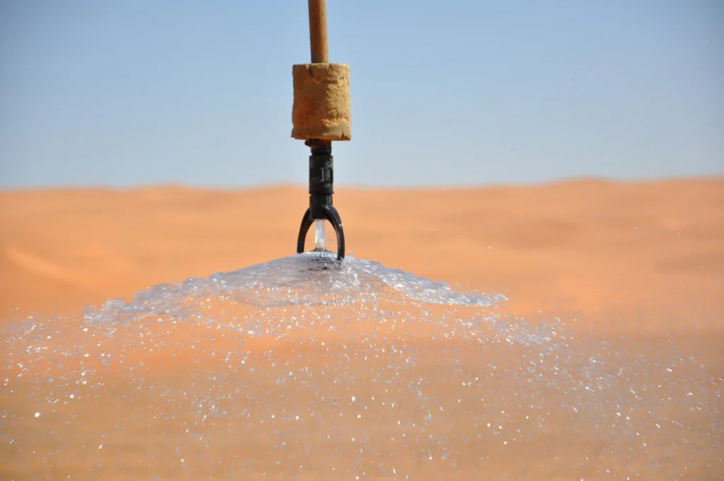
Events of meteorological significance, such as thunderstorms, hurricanes, cyclones, jet streams and global-scale circulations can be described by a general term: atmospheric dynamics. When it comes to it, atmospheric dynamics deals with nothing more than air, which, in truth, is very difficult to directly observe, (with the exception of clouds and precipitation). This makes the …[Read More]

Imaggeo on Mondays: Mountains, rivers and agriculture

Imaggeo on Mondays: Mountains, rivers and agriculture

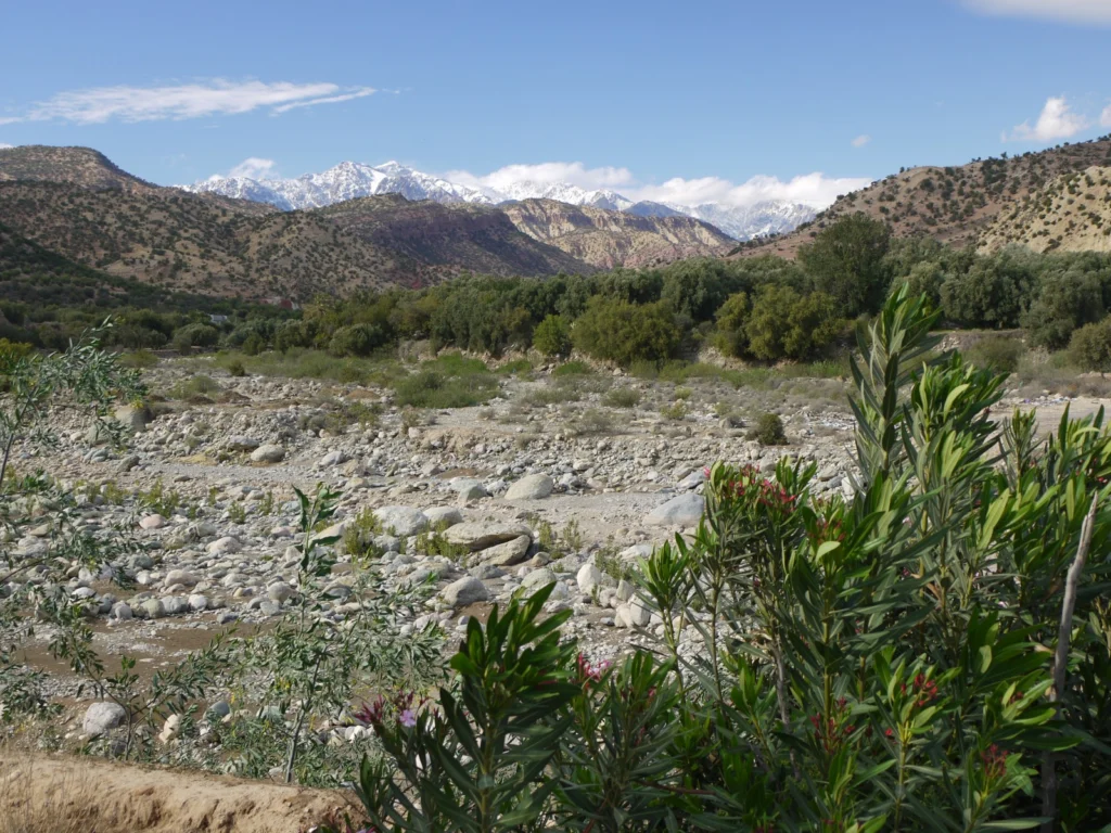
This week’s Imaggeo on Mondays image blends a range of geoscience disciplines. The post, by Irene Marzolff, a researcher at Johann Wolfgang Goethe-Universitaet, explores how the mountains, rivers and soils of the High Atlas in Morocco are intrinsically linked to the agriculture of the region. The image was taken in the southern slopes of the …[Read More]

Imaggeo on Mondays: Strombolian eruption

Imaggeo on Mondays: Strombolian eruption

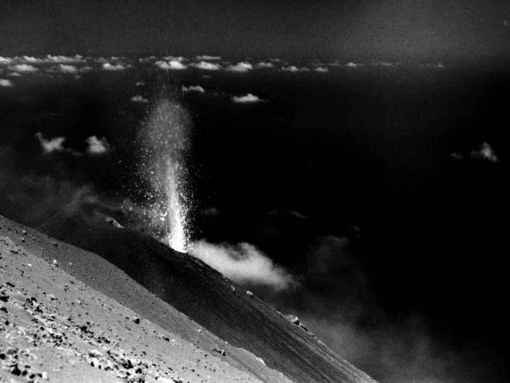
Jonas Kuhn, a researcher at Heidelberg University , took the photograph during a field campaign at Stromboli volcano in Italy. The objective of this campaign was to gather data from different gaseous compounds of the volcanic plume. Via emission fluxes of volcanic gases (e.g. SO2, CO2, halogen compounds…) or the ratio of emitted gases, one …[Read More]

Imaggeo on Mondays: The place where water runs through rocks

Imaggeo on Mondays: The place where water runs through rocks

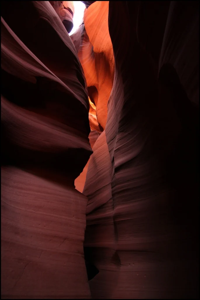
Antelope Canyon, located in Arizona, USA, was formed by erosion of the Navajo Sandstone, primarily due to flash flooding and secondarily due to other sub-aerial processes (think of physical weathering processes such as freeze-thaw weathering exfoliation and salt crystallisation). Rainwater runs into the extensive basin above the slot canyon sections, picking up speed and sand …[Read More]

Imaggeo on Mondays: Late Holocene Fever

Imaggeo on Mondays: Late Holocene Fever

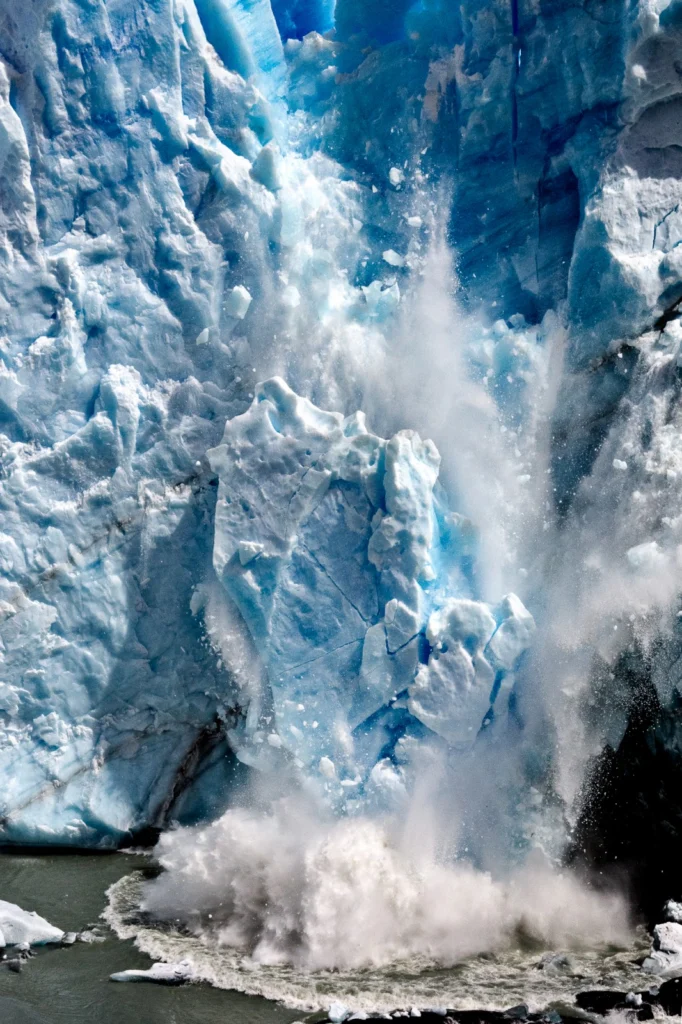
A huge ice fall off the Perito Moreno glacier in the Los Glaciares National Park, southwest Santa Cruz Province, Argentina, was voted one of the three best pictures entered into the EGU’s annual photo contest, by the conference participants at the 2015 General Assembly. Perito Moreno glacier is one of 48 glaciers feeding into the …[Read More]