GeoLog

EGU Scientific Divisions

Looking back at the EGU Blogs in 2018: a competition

Looking back at the EGU Blogs in 2018: a competition

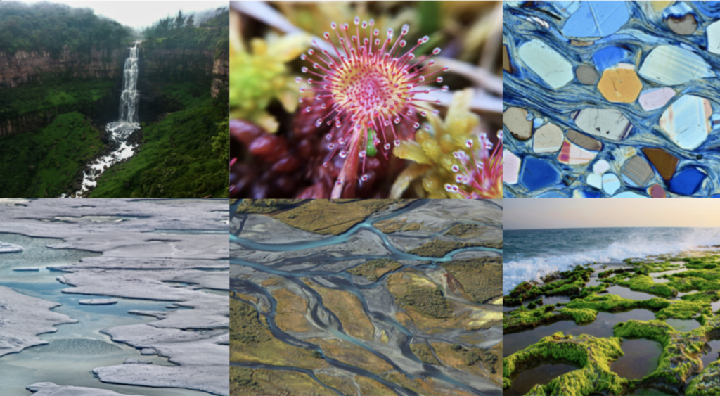
The past 12 months has seen an impressive 382 posts published across the EGU’s official blog, GeoLog, as well as the network and division blogs. From an Easter-themed post on the convection of eggs, features on mental health in academia, commentary on the pros and cons of artificial coral reefs, advice on presenting research at conferences, through to a three-part “live-series” on the ...[Read More]

GeoTalk: the climate communication between Earth’s polar regions

GeoTalk: the climate communication between Earth’s polar regions

Geotalk is a regular feature highlighting early career researchers and their work. In this interview, we caught up with Christo Buizert, an assistant professor at Oregon State University in Corvallis, who works to reconstruct and understand climate change events from the past. Christo’s analysis of ice cores from Greenland and Antarctica helped reveal links between climate change events from the l ...[Read More]

Imaggeo on Mondays: Wandering the frozen Svalbard shore

Imaggeo on Mondays: Wandering the frozen Svalbard shore

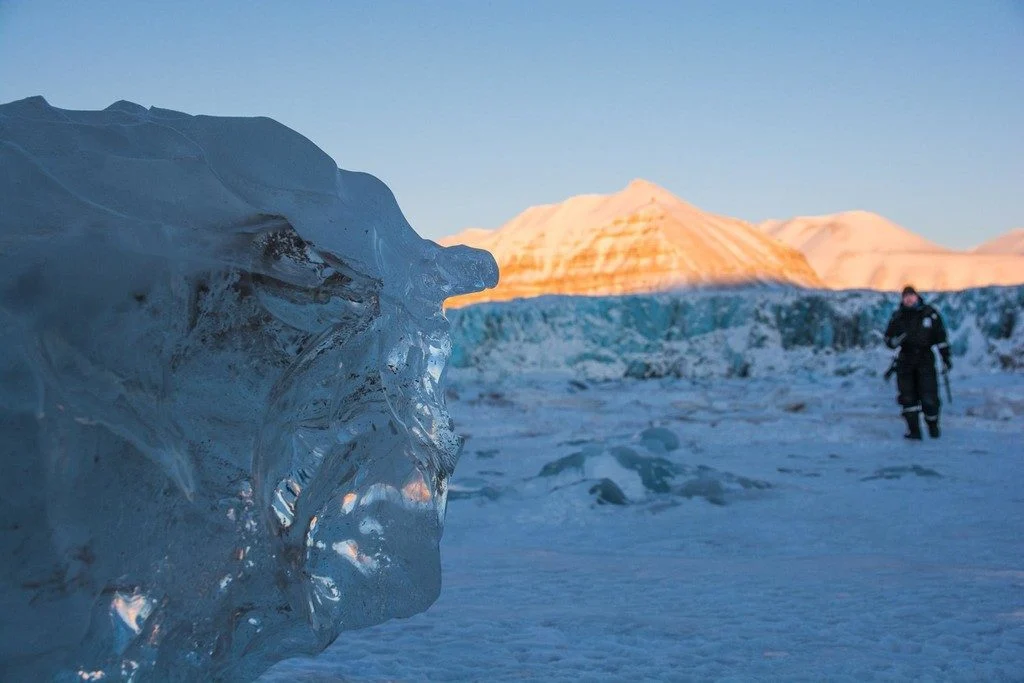
These ethereal, twisted ice sculptures litter the frozen shoreline of Tempelfjorden, Svalbard, giving the landscape an otherworldly feel and creating a contrast with the towering ice cliff of the glacier and the mountains behind. They are natural flotsam, the scoured remnants of icebergs calved from the Tunabreen glacier, washed up on the shoreline. These icebergs were calved from the Tunabreen gl ...[Read More]

Imaggeo on Mondays: The ash cloud of Eyjafjallajökull approaches

Imaggeo on Mondays: The ash cloud of Eyjafjallajökull approaches

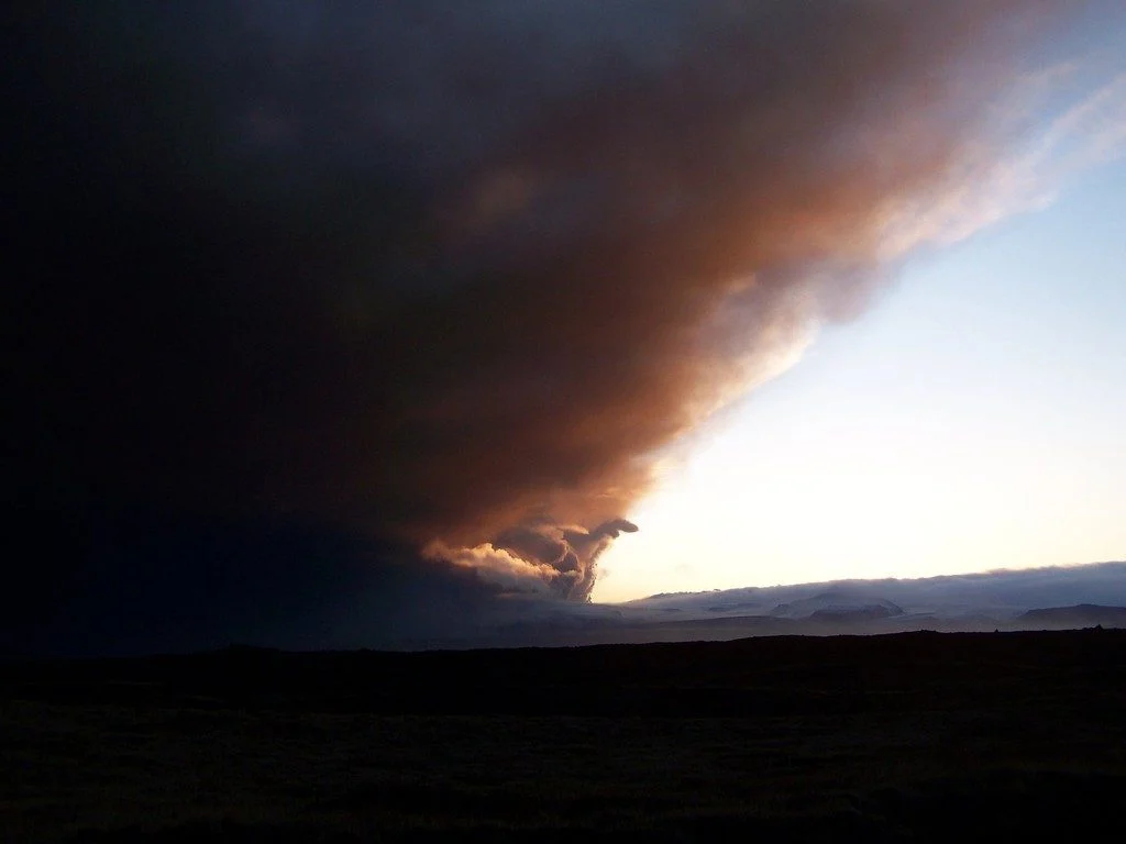
This photo depicts the famous ash cloud of the Icelandic volcano Eyjafjallajökull, which disrupted air traffic in Europe and over the North Atlantic Ocean for several days in spring 2010. The picture was taken during the initial phase of the eruption south of the town of Kirjubæjarklaustur, at the end of a long field work day. Visibility inside the ash cloud was within only a few metres. The erupt ...[Read More]

November GeoRoundUp: the best of the Earth sciences from around the web

November GeoRoundUp: the best of the Earth sciences from around the web

Drawing inspiration from popular stories on our social media channels, major geoscience headlines, as well as unique and quirky research, this monthly column aims to bring you the latest Earth and planetary science news from around the web. Major stories Earth’s red and rocky neighbor has been grabbing a significant amount of attention from the geoscience media this month. We’ll give you the rundo ...[Read More]

Imaggeo on Mondays: Exploring ice in the deep

Imaggeo on Mondays: Exploring ice in the deep

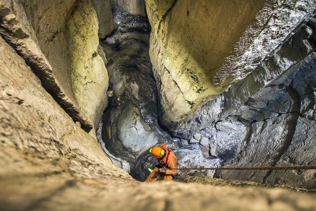
The occurrence of sporadic permafrost in the Alps often needs challenging fieldwork in order to be investigated. Here in the high altitude karstic plateau of Mt. Canin-Kanin (2587 m asl) in the Julian Alps (southeastern European Alps) several permanent ice deposits have been recently investigated highlighting how also in such more resilient environments global warming is acting rapidly. Important ...[Read More]

Can the EU become carbon neutral by 2050? A new strategy from the EU!

Can the EU become carbon neutral by 2050? A new strategy from the EU!

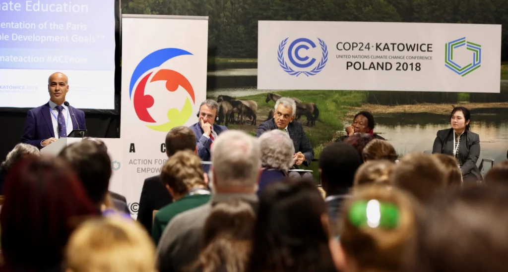
On Wednesday 28 November 2018, the European Commission adopted a strategic long-term vision for a climate neutral economy (net-zero emissions) by 2050!  A Clean Planet for All, tactically released ahead of the 24th Conference of the Parties (COP 24), which will be hosted in Katowice, Poland from 2-14 December, describes seven overarching areas that require action and eight different scenarios that ...[Read More]

Imaggeo on Mondays: Watching the world from space with EarthKAM

Imaggeo on Mondays: Watching the world from space with EarthKAM

This photo was taken from the International Space Station (ISS), approx. 400 km above the Earth, in the NASA-led educational project Sally Ride EarthKAM (www.earthkam.org), Mission 58, April 2017. The image was requested by a team of 10th and 11th grade students from the National College of Computer Science, Piatra-Neamț, Romania, coordinated by me. The lenses used on the digital camera mounted on ...[Read More]

NASA’s InSight mission: detecting ‘earthquakes*’ on the surface of Mars

NASA’s InSight mission: detecting ‘earthquakes*’ on the surface of Mars

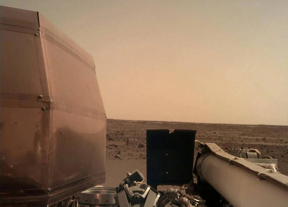
In three days’ time, NASA’s InSight Lander is expected to plunge through Mars’ atmosphere before parachuting down to a controlled landing on the flat plains of the Elysium Planitia. Once the dust has settled, a solar powered robotic arm will painstakingly unload the precious instruments stored onboard onto the planet’s surface, carefully guided by scientists back on Earth. These instruments are de ...[Read More]

Imaggeo on Mondays: On the way to Tristan’s penguins

Imaggeo on Mondays: On the way to Tristan’s penguins

Tristan da Cunha is a remote volcanic island in the south Atlantic Ocean. In fact, it is the most remote inhabited archipelago in the world. Tristan is still volcanically active; the last time it erupted was in 1961. After the eruption, which luckily did not have any casualties, the whole population of around 260 people evacuated the island for some time, but they all returned back to the island b ...[Read More]