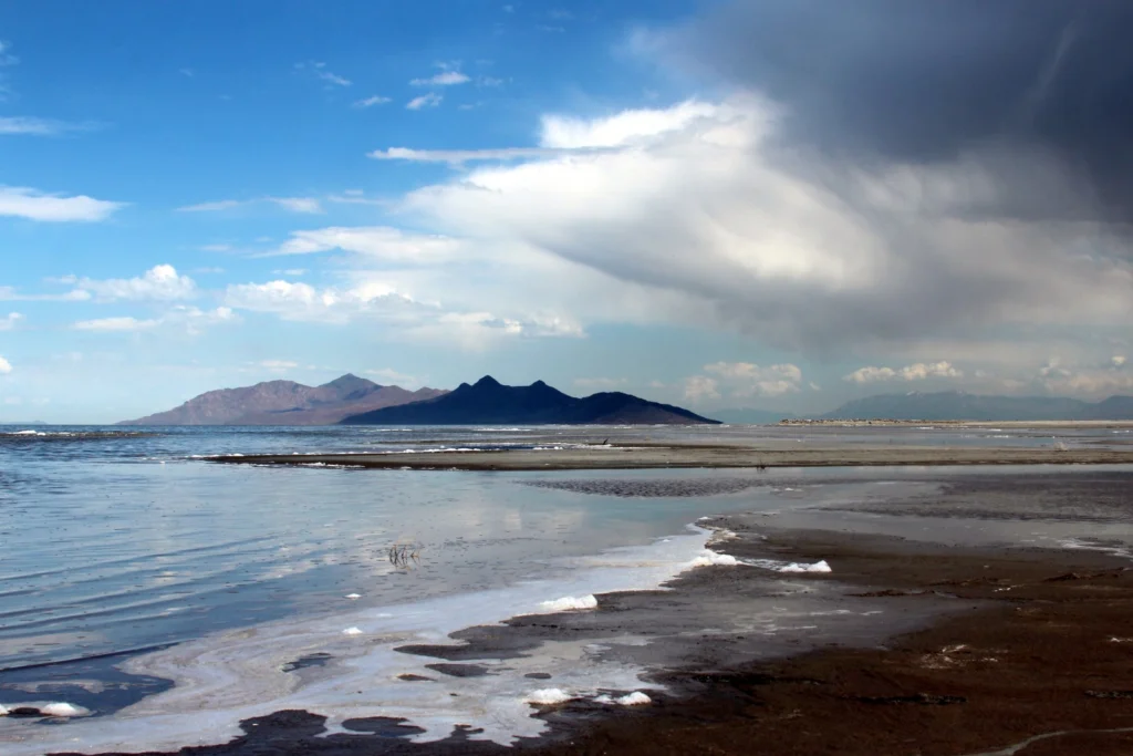
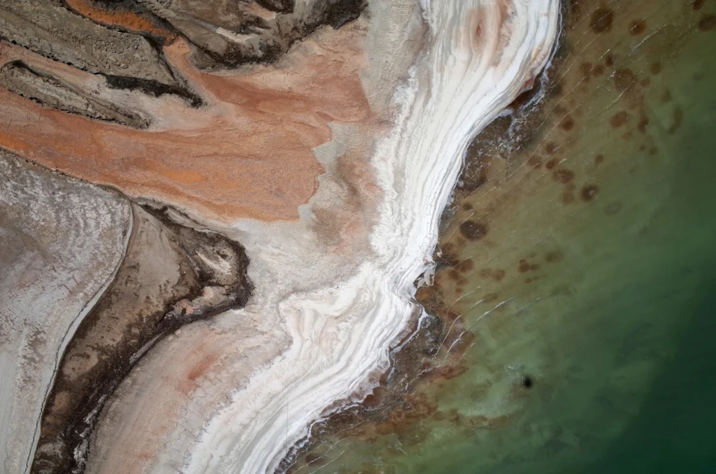
On the blog today, Jennifer Ziesch, a researcher at the Leibniz Institute for Applied Geophysics, takes us on a tour of the Great Salt Lake, located in the north of Salt Lake City (Utah). Did you know it is one of the largest salt water lakes in the world? The large salt lake and Salt Lake City, named after the lake, lie on a flat plain about 1300 m above sea level. The salt lake is bordered to th ...[Read More]
Geomorphology
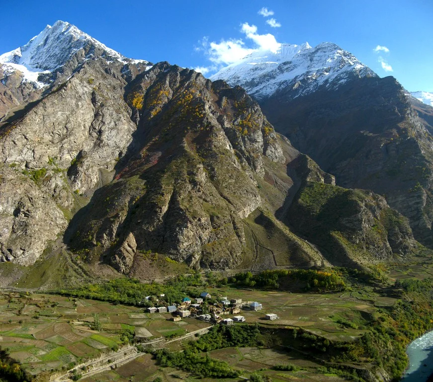
Imaggeo on Mondays: Deep in the Himalayas
The Himalayas: vast, formidable and home to the Earth’s highest peaks. The mountain range stretches inexorably through Indian, Bhutan, Nepal, China (Tibet) and Pakistan separating the Tibetan Plateau to the north from India’s alluvial plains to the south. India, as we know it today, started life much further south, as an island not far off the coast of Australia. It was separated from ...[Read More]
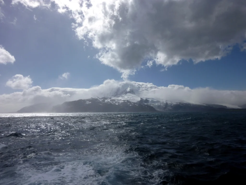
Imaggeo on Mondays: the remotest place on Earth?
Perhaps a bold claim, but at over 4,000 km away from Australia and 4,200 km from South Africa, Heard Island is unquestionably hard to reach. The faraway and little know place is part of a group of volcanic islands known as HIMI (comprised of the Heard Island and McDonald Islands), located in the southwest Indian Ocean. Shrouded in persistent bad weather and surrounded by the vast ocean, Heard Isla ...[Read More]
Geosciences Column: Do coastlines have memories?
Did you know that the shape of coastlines is determined by the angle at which waves crash against the shoreline. It has long been thought that fluctuations in the wave incidence angle are rapidly felt by coastlines, which change the shapes of their shores quickly in response to shifting wave patterns. Or do they? Researchers at the British Geological Survey, Duke University (USA) and Woods Hole Oc ...[Read More]
Imaggeo on Mondays: Tones of sand
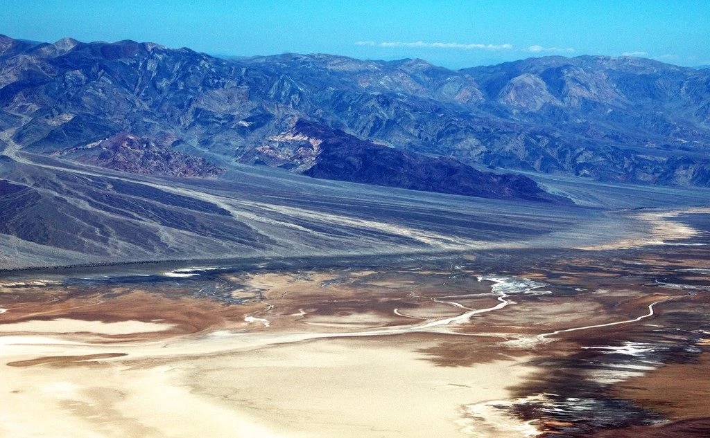
With rocks dating as far back as the Precambrian, mountain building events, violent volcanic eruptions and being covered, on and off, by shallow seas, Death Valley’s geological history is long and complex. Back in the Cenozoic (65 to 30 million years ago), following a turbulent period which saw the eruption of volcanoes (which in time would form the Sierra Nevada of California) and regional uplift ...[Read More]
The best of Imaggeo in 2016: in pictures
Imaggeo, our open access image repository, is packed with beautiful images showcasing the best of the Earth, space and planetary sciences. Throughout the year we use the photographs submitted to the repository to illustrate our social media and blog posts. For the past few years we’ve celebrated the end of the year by rounding-up some of the best Imaggeo images. But it’s no easy task to pick which ...[Read More]
Looking back at the EGU Blogs in 2016: a competition
The past 12 months has seen an impressive 360 posts published across the EGU’s official blog, GeoLog, as well as the network and division blogs. From a lighthearted Aprils Fools’ Day post featuring an extreme chromatic phenomenon (otherwise known as FIB); through to how climate change is affecting mountain plant’s sex ratios; features on natural hazard events throughout the year and children’s dis ...[Read More]
Imaggeo on Mondays: The shrinking of Earth’s saltiest lake
The Dead Sea is one of the saltiest lakes on Earth, located at the lowest point of the globe. For centuries it has been known for the restorative powers of its muds and waters. Their hypersalinity means it is possible to easily float on the lake’s surface. Bordering Israel, the West Bank and Jordan, it is a unique environment in an otherwise arid region. Changing climate, which is seeing tempera ...[Read More]
Imaggeo on Mondays: Gole dell‘ Alcantara
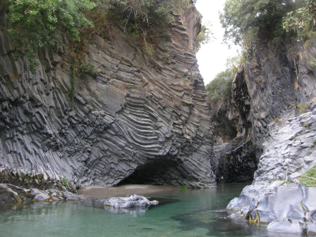
On account of Mount Etna (Europe’s largest volcano), the island of Sicily is peppered with geological wonders. Starting with the summit craters of the volcano itself, right through to over 200 caves formed within lava tubes, the island is packed with volcanic sights.Chief among them is Gole dell ‘Alcantara, a system of gorges formed 8,000 years ago in the course of the river Alcantara ...[Read More]
GeoTalk: Drilling into the crater which contributed to the demise of dinosaurs
Six months ago, somewhere in the tropical waters off the coast of Mexico, scientists began drilling into one of the most iconic geological features on Earth: the Chicxulub crater; the 66 million year old remnants of a deadly asteroid impact, thought to have contributed to the demise of dinosaurs and most other forms of life which inhabited the Earth at the time. Today we speak to Sonia Tikoo, Assi ...[Read More]