NH
Natural Hazards

Landslide hazard

Mount Saint Helens 40 years later – May 18, 1980: for everything to stay the same, everything must change
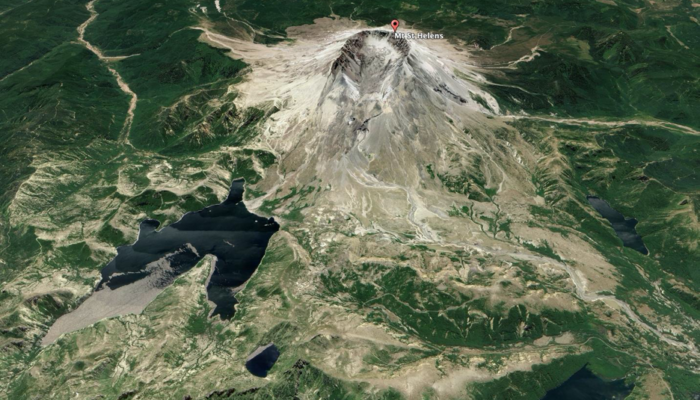
Mount Saint Helens 40 years later – May 18, 1980: for everything to stay the same, everything must change
Vancouver, Vancouver, this is it! Just a few words radioed by volcanologist David ‘Dave’ Johnston on May 18, 1980, to USGS headquarter in Vancouver, Washington State. It was 8:32 a.m., and a few hours later he lost his life during the (in)famous Mount Saint Helens eruption. That day, exactly forty years ago, the eruption of Mount St. Helen upset the world. It all started with a collapse on the nor ...[Read More]

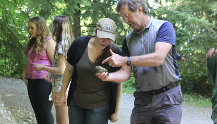
NH medallists Episode II – John Clague & his passion for Natural Hazard

NH medallists Episode II – John Clague & his passion for Natural Hazard

In today’s interview, we talk with Prof John J. Clague, who was awarded the 2020 Sergey Soloviev Medal for his remarkable scientific contributions in fundamental and applied research on earthquakes, tsunamis, outburst floods and landslides, directed towards risk reduction for the benefit of societies. Hi John, can you please briefly introduce yourself, telling your main research focus and wh ...[Read More]

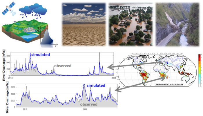
How satellites measuring soil moisture provide a new understanding of rainfall patterns

How satellites measuring soil moisture provide a new understanding of rainfall patterns

Soil moisture and rainfall are the two fundamental variables in the water and energy cycle and their knowledge in many applications is crucial. For instance, for predicting the occurrence and the magnitude of flood and landslide events the knowledge of the initial soil moisture condition and of rainfall amount is mandatory. In the last decade, some authors have proposed a completely new approach, ...[Read More]

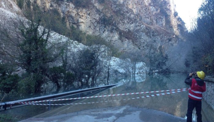
The Italian catalogue of earthquake-induced ground failures: saving the past for the future seismic hazard assessment #CEDIT

The Italian catalogue of earthquake-induced ground failures: saving the past for the future seismic hazard assessment #CEDIT

  The Italian Catalogue of Earthquake-Induced Ground Failures (CEDIT) is a database available online since January 2013 that stores data about ground failures induced by strong earthquakes, which occurred on the Italian territory since 1000 AD up to now. CEDIT is freely available on a web-GIS portal (currently the access is granted using Firefox as a web browser, the upgrade to other browsers ...[Read More]

InSAR Norway: the big eye on Norwegian unstable rock slopes

InSAR Norway: the big eye on Norwegian unstable rock slopes

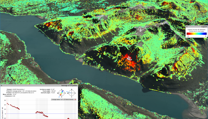
Marie Keiding is a researcher in the Geohazard and Earth Observation team at the Geological Survey of Norway. Together with her colleague, John Dehls, who is leading the project, she works to develop and operate the new mapping service called InSAR Norway. Before we start, let’s briefly describe what is InSAR. First, the Synthetic Aperture Radar (SAR) is a day and night operational imaging system ...[Read More]

Anthropogenic changes of the landscape and natural hazards

Anthropogenic changes of the landscape and natural hazards

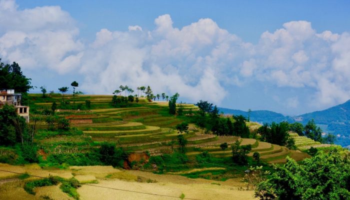
In this post, I had the pleasure to interview Paolo Tarolli, a very active member of the EGU community and a brilliant scientist. He is Professor in Water Resources Management and Integrated Watershed Management, and head of Earth Surface Processes and Society research group at the Università degli Studi di Padova (Italy). He has a PhD in Environmental Watershed Management and Geomatics and has wo ...[Read More]

The collapse of Anak Krakatau volcano: a scenario envisaged

The collapse of Anak Krakatau volcano: a scenario envisaged

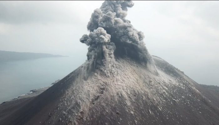
The volcano ID Krakatoa or Krakatau, in Indonesia, is part of the Ujung Kulon National Park, a UNESCO World Heritage property, and among the most (in)famous volcanoes in the world. From a geological point of view, it is part of the Indonesian island arc system generated by the north-eastward subduction of the Indo-Australian plate (Figure 1). Krakatau is now a caldera type of volcano thanks to the ...[Read More]

Landslide forecasting and warning service in Norway

Today our blog will host Graziella Devoli who will tell us about the Landslide Forecasting and Warning Service currently operating in Norway by the Norwegian Water Resources and Energy Directorate (NVE). Graziella is Senior Geologist at NVE and she has PhD in Environmental Geology and Geohazards obtained at the University of Oslo (UiO) where she also teaches in the Geohazards master program. At NV ...[Read More]

Earthquake-induced landslides and the ‘strange’ case of the Hokkaido earthquake

The population of many countries in the world is exposed to earthquakes, one of the most destructive natural hazards. Sometimes, consequent triggered  phenomena can be even worse than the earthquake itself. In this context, earthquake-induced landslides often concur in life and economic losses. To better understand these induced phenomena, updated catalogues of their types and location of occurren ...[Read More]

The fantastic world of OBIA!

For today blog, we have interviewed Clemens Eisank about OBIA and its application in Natural Hazard. Dr. Clemens Eisank is Remote Sensing Specialist & Project Manager at GRID-IT Company in Innsbruck (Austria). He obtained his Ph.D. from the Department of Geoinformatics – Z_GIS at Salzburg University in 2013. In his Ph.D. research, he proposed a workflow for automated geomorphological mapping w ...[Read More]