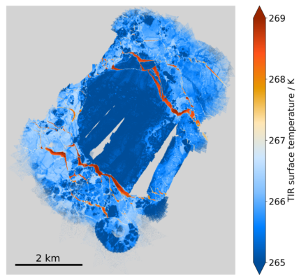
Have you ever wondered what dark secrets the Arctic sea ice holds during the harsh winter months? Imagine total darkness in the central Arctic, making it almost impossible to gather scientific information. At this time of the year, usually only satellite observations are available. This changed in September 2019 when a team of scientists collected in situ and airborne data in the central Arctic as ...[Read More]
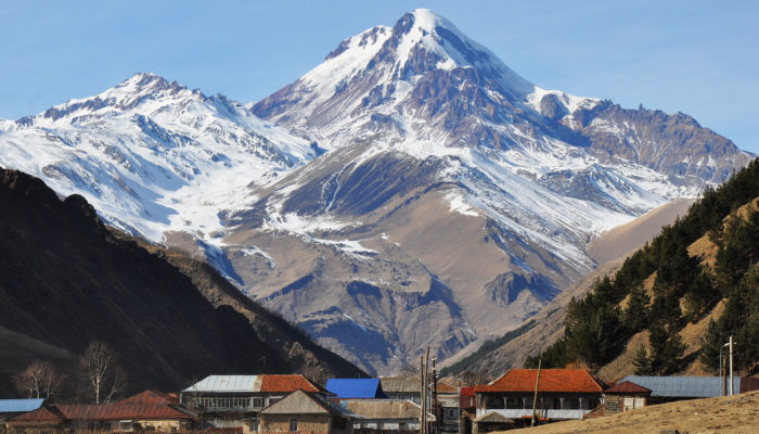
Massive melting of Caucasus glaciers

The Caucasus is one of the most studied glacierized regions in the world (see previous Cryoblogs on Caucasus glaciers here and here). In this week’s blog, Levan Tielidze tells us about the health of the Greater Caucasus glaciers. His first study published this year indicates that the rate of decline in glacier extent between 2000 and 2020 in the Greater Caucasus is four times higher than it was be ...[Read More]
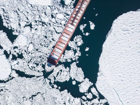
Mapping sea ice from space

Reduced and thinner sea ice makes Arctic waters increasingly appealing for shipping, fishing, tourism, and mineral exploration. However, with increased accessibility and more dynamic ice conditions comes a greater risk for ship crews to encounter sea ice and icebergs outside of their usual seasonal limits. To help them navigate, timely and reliable sea ice information is key. Have you wondered how ...[Read More]
Lost in transl[ice]tion…
![Lost in transl[ice]tion…](https://blogs.egu.eu/divisions/cr/files/2020/10/MainFigure-700x292.png)
Three years have passed since sea-ice scientists from both climate modeling and remote sensing backgrounds met for an international workshop in Hamburg. The goal was to discuss how to further improve our understanding of sea ice and reduce uncertainties in climate models and observations (see this previous post). One suggestion was to work on observation operators. Let’s see what has happened in t ...[Read More]
Image of the Week – Fifty shades of May (Glacier)
With over 198 000 glaciers in the world, you can always find a glacier that fits your mood or a given occasion. So why not for example celebrate the first Image of the Week of May with a picture of the aptly named May Glacier? May Glacier is in fact not named after the month, but after Mr May, an officer onboard the Flying Fish during her expedition to the East Antarctic coast in the 1840s. Apart ...[Read More]
Image of the Week – Ice-Spy: the launch of ICESat-2
On September 15th, 2018, at 18:02 local time, NASA launched its newest satellite – the second generation Ice, Cloud and land Elevation Satellite (ICESat-2). ICESat-2 only contains one instrument – a space laser that fires 10,000 pulses per second to Earth to measure elevation. Its primary purpose is for monitoring the ever changing cryosphere, so naturally there are plenty of ice enthusiasts ...[Read More]
Image of the Week – Breaking the ice: river ice as a marker of climate change
Common images associated with climate change include sad baby polar bears, a small Arctic sea ice extent, retreating glaciers, and increasing severe weather. Though slightly less well-known, river ice is a hydrological system which is directly influenced by air temperature and the amount and type of precipitation, both of which are changing under a warming climate. Ice impacts approximately 60 % o ...[Read More]
Image of the Week — Orange is the new white
On 22 March 2018, large amounts of Saharan dust were blown off the Libyan coast to be further deposited in the Mediterranean, turning the usually white snow-capped Mountains of Turkey, Romania and even Caucasus into Martian landscapes. As many people were struck by this peculiar color of the snow, they started documenting this event on social media using the “#orangesnow hashtag”. Instagram and t ...[Read More]
Mapping the bottom of the world — an Interview with Brad Herried, Antarctic Cartographer
Mapping Earth’s most remote continent presents a number of unique challenges. Antarctic cartographers and scientists are using some of the most advanced mapping technologies available to get a clearer picture of the continent. We asked Brad Herried, a Cartographer and Web Developer at the Polar Geospatial Center at the University of Minnesota, a few questions about what it’s like to do this unique ...[Read More]
Image of the Week: Petermann Glacier
Our image of the week shows the area around the calving front of Petermann Glacier through the spring, summer, and autumn of 2016. Petermann Glacier, in northern Greenland, is one of the largest glaciers of the Greenland Ice Sheet. It terminates in the huge Petermann Fjord, more than 10 km wide, surrounded by 1000 m cliffs and plunging to more than 1100 m below sea level at its deepest point. In 2 ...[Read More]


