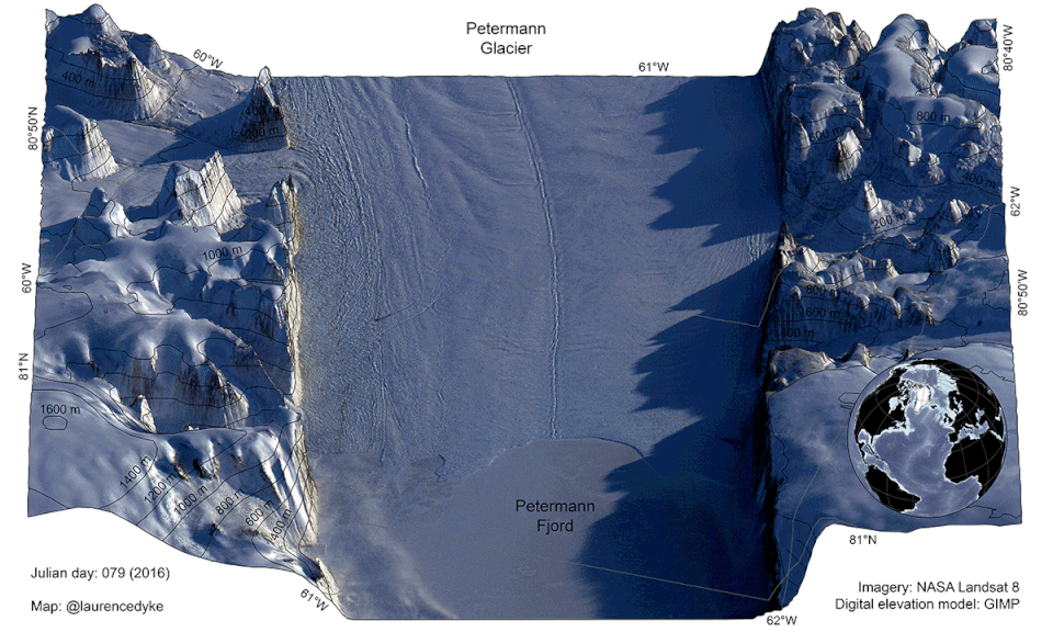
Figure 1: Satellite images showing the front of Petermann glacier from spring to autumn 2016 [Credit: LandSAT 8 (NASA) and L. Dyke]
Our image of the week shows the area around the calving front of Petermann Glacier through the spring, summer, and autumn of 2016. Petermann Glacier, in northern Greenland, is one of the largest glaciers of the Greenland Ice Sheet. It terminates in the huge Petermann Fjord, more than 10 km wide, surrounded by 1000 m cliffs and plunging to more than 1100 m below sea level at its deepest point. In 2010 and 2012, the glacier caught the world’s attention with two large events, which caused the glacier to retreat to a historically unprecedented position.
In Fig. 1 we see the changes happening through the season on Petermann glacier – and they are huge. The animated map highlights many different processes. As areas emerge from the Polar night at the start of spring, the shadows quickly shorten and the light levels become noticeably higher. This is followed by the melting of the snow, first on south-facing slopes, and eventually to on the high-elevation areas in the mountains. As the sun returns, meltwater starts forming on the surface of the glacier, this is visible as vast turquoise lakes. Finally, the sea ice in the fjord succumbs to the seasonal warming of the ocean and atmosphere, it thins, and then completely disintegrates at around day 205.
The change in the glacier is perhaps the most interesting phenomenon. It is possible to observe the glacier flowing and advancing into the fjord. In addition, several large rifts near the front open through the course of the year. These will eventually spread across the front of the glacier and a new, huge iceberg will be born. These rifts are being closely monitored, and it is likely that when the iceberg calves it will bring cause Petermann Glacier to retreat to a new historical minimum.
The image above is an example of a new type of map, it takes cartography into the 4th dimension—time. Technological advances have only recently made it possible to create a map like this; with the launch of Landsat 8 and Sentinel-2 it is now possible to receive regular, high-resolution, and free satellite images of high latitude areas. These data have been projected onto a new, high quality digital elevation model (Howat et al., 2013) to create this map.
Further Reading
Howat, I. M., Negrete, A., and Smith, B. E. (2014). The Greenland Ice Mapping Project (GIMP) land classification and surface elevation datasets. The Cryosphere, 8 (1): 1509–1518
Edited by Nanna B. Karlsson
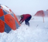
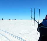
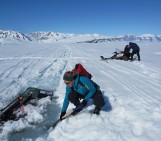
 Laurence Dyke is a postdoctoral researcher at The Geological Survey of Denmark and Greenland (GEUS) in Copenhagen (DK). His work is primarily focussed on understanding the history of the Greenland Ice Sheet, from both marine and terrestrial perspectives. He works with marine sediment cores and surface exposure dating to investigate what triggered changes in glacier behaviour over the last 12 thousand years. Understanding the past is key to predicting the future! He tweets as @LaurenceDyke