Tinted detail of a photo: Huge block of blue and white ice collapsing from a glacier front, shattering into fragments and throwing up a large white splash where it hits the dark water.
CR
Cryospheric Sciences

Cryospheric Sciences

Image of the Week – Karthaus Summer School 2017

Image of the Week – Karthaus Summer School 2017

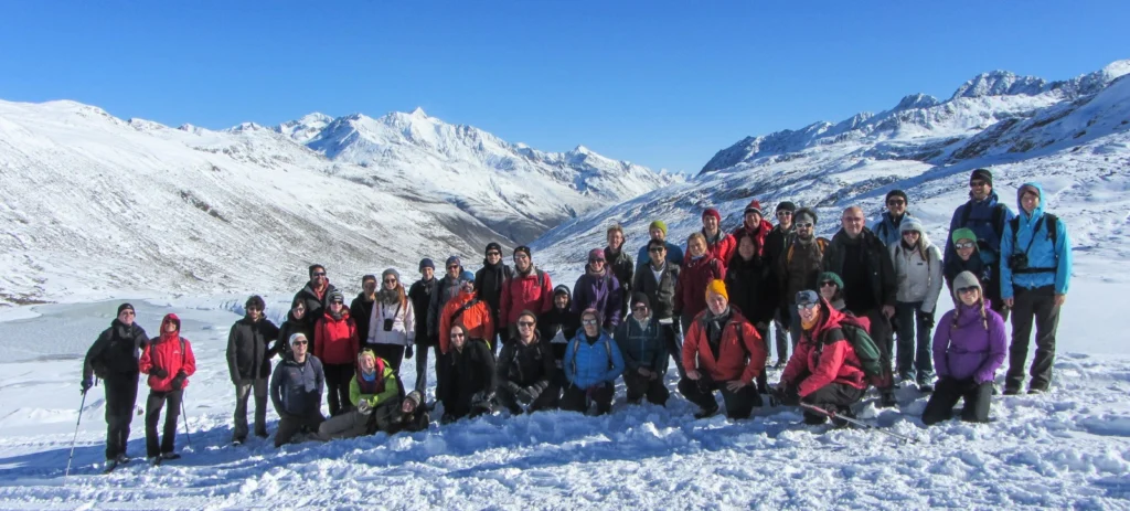
Glaciologists often undertake fieldwork in remote and difficult to access locations, which perhaps explains why they happily travel to similar locations to attend meetings and workshops. The Karthaus Summer School, which focuses on Ice Sheets and Glaciers in the Climate System, is no exception. The idyllic village of Karthaus, located in the narrow Schnalstal valley …[Read More]

Mapping the bottom of the world — an Interview with Brad Herried, Antarctic Cartographer

Mapping the bottom of the world — an Interview with Brad Herried, Antarctic Cartographer

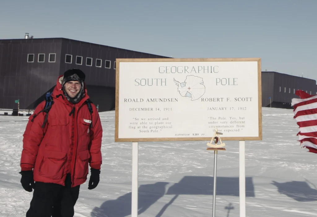
Mapping Earth’s most remote continent presents a number of unique challenges. Antarctic cartographers and scientists are using some of the most advanced mapping technologies available to get a clearer picture of the continent. We asked Brad Herried, a Cartographer and Web Developer at the Polar Geospatial Center at the University of Minnesota, a few questions …[Read More]

Image of the Week – The true size of Greenland

Image of the Week – The true size of Greenland

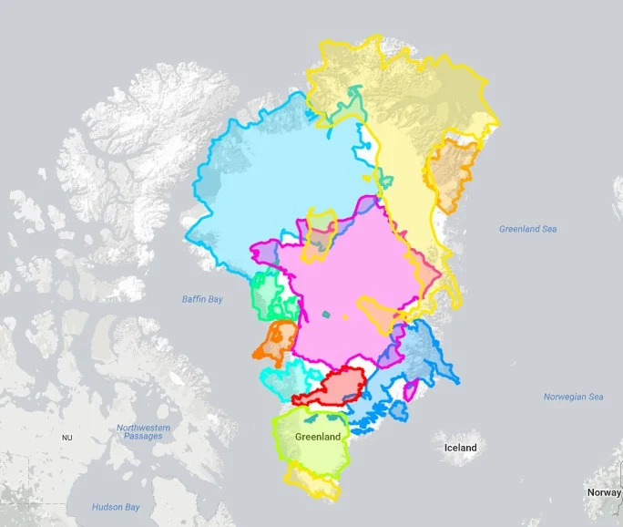
Greenland is a critical part of the world, which is regularly covered on this blog, because it hosts the second largest ice body on Earth – the Greenland Ice Sheet. This ice sheet, along with its small peripheral ice caps, contributes by 43% to current sea-level rise. However, despite being the world’s largest island Greenland, …[Read More]

Image of the Week: Petermann Glacier

Image of the Week: Petermann Glacier

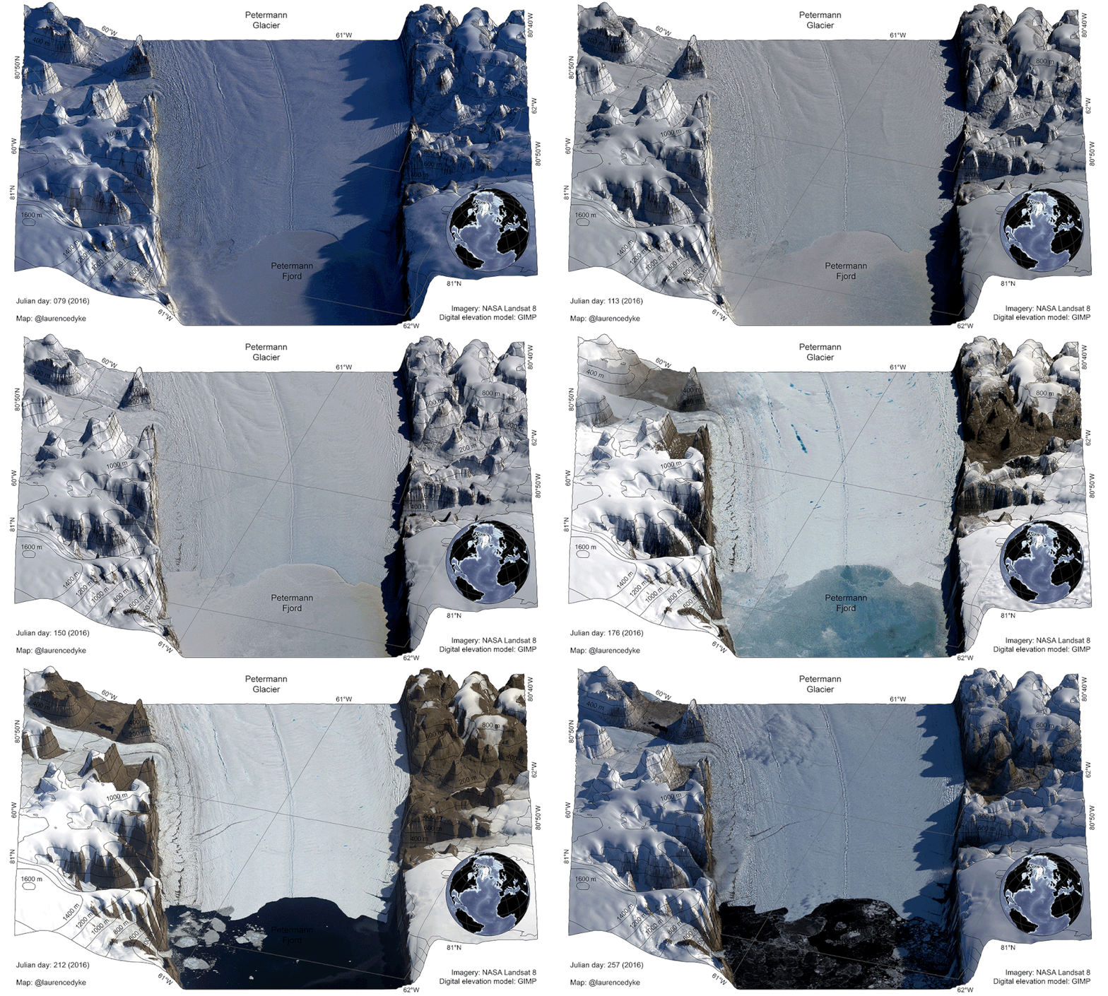
Our image of the week shows the area around the calving front of Petermann Glacier through the spring, summer, and autumn of 2016. Petermann Glacier, in northern Greenland, is one of the largest glaciers of the Greenland Ice Sheet. It terminates in the huge Petermann Fjord, more than 10 km wide, surrounded by 1000 m …[Read More]

Image of the Week – ROVing in the deep…

Image of the Week – ROVing in the deep…

Robotics has revolutionised ocean observation, allowing for regular high resolution measurements even in remote locations or harsh conditions. But the ice-covered regions remain undersampled, especially the ice-ocean interface, as it is still too risky and complex to pilot instruments in this area. This is why it is exactly the area of interest of the paper …[Read More]

Image of the week – Learning from our past!

Image of the week – Learning from our past!

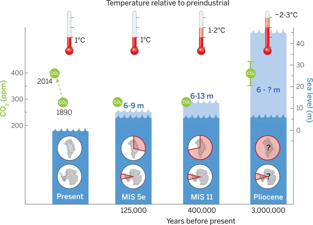
Understanding the climate evolution of our planet is not an easy task, but it is essential to understand the past if we are to predict the future! Historic climate cycles provide us with a glimpse into a period of time when the Earth was warmer than it was today. Our image of the week looks …[Read More]