The Geodynamics 101 series serves to showcase the diversity of research topics and methods in the geodynamics community in an understandable manner. We welcome all researchers – PhD students to Professors – to introduce their area of expertise in a lighthearted, entertaining manner and touch upon some of the outstanding questions and problems related to their fields. For our first ‘101’ ...[Read More]
If you didn't find what you was looking for try searching again.
Cryospheric Sciences
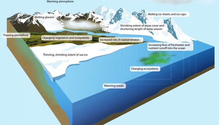
Image of the Week – Arctic changes in a warming climate
The Arctic is changing rapidly and nothing indicates a slowdown of these changes in the current context. The Snow, Water, Ice and Permafrost in the Arctic (SWIPA) report published by the Arctic Monitoring and Assessment Program (AMAP) describes the present situation and the future evolution of the Arctic, the local and global implications, and mitigation and adaptation measures. The report is base ...[Read More]
GeoLog
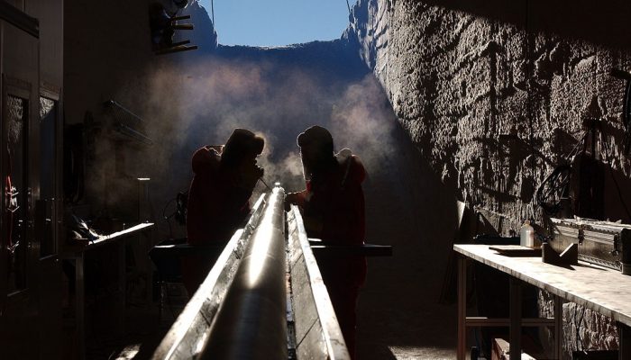
Geosciences Column: The hunt for Antarctica’s oldest time capsule
The thick packs of ice that pepper high peak of the world’s mountains and stretch far across the poles make an unusual time capsule. As it forms, air bubbles are trapped in the ice, allowing scientists to peer into the composition of the Earth’s atmosphere long ago. Today’s Geosciences Column is brought to you by PhD researcher Ruth Amey, who writes about recently published resea ...[Read More]
GeoLog
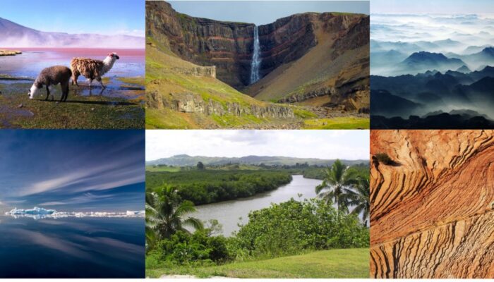
Imaggeo on Mondays: The best of imaggeo in 2017
Imaggeo, our open access image repository, is packed with beautiful images showcasing the best of the Earth, space and planetary sciences. Throughout the year we use the photographs submitted to the repository to illustrate our social media and blog posts. For the past few years we’ve celebrated the end of the year by rounding-up some of the best Imaggeo images. But it’s no easy task to pick which ...[Read More]
GeoLog
I want you to stop being an early career scientist
In this guest post Roelof Rietbroek, EGU’s Union-wide Early Career Scientist Representative (2017-2018), speaks about the importance of reseachers getting involved with the Union’s early career activities to really reap the benefits of being part of the network. With over half of the participants of EGU’s general assembly qualifying as an Early Career Scientist (ECS), chances are you are one ...[Read More]
GeoLog
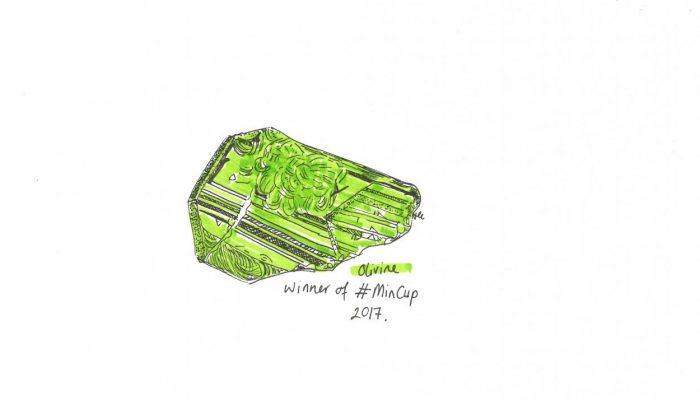
MinCup: Elevating humble minerals to new heights
Throughout October and November, the world of (Earth science) Twitter was taken by storm: Day after day, Eddie Dempsey (a lecturer at the University of Hull, and @Tectonictweets for those of you more familair with his Twitter handle) pitted minerals against each other, in a knock out style popular contest. The aim? To see which mineral would eventually be crowned the best of 2017. Who knew fiery ( ...[Read More]
GeoLog
GeoPolicy: Reaching out on Twitter – casually engage with policymakers!
Reaching out to policymakers and sharing your research with them can seem like a daunting task! While there are many formal outlets for engaging with policymakers (such as completing questionnaires, contributing to workshops and participating in paring schemes), there are also more casual methods that can be done sporadically and with less effort. One example of this is engaging with policymakers ...[Read More]
Natural Hazards
Doing and wandering of NhET at the EGU’s General Assembly
If you were wondering what a group of young scientists such as NhET does in its free time, this is the right post for you to read! In between doing exciting fieldwork on an active volcano, writing an inspiring paper on landslide monitoring and applying that complicated algorithm for the analysis of earthquake return times: we organize events at the EGU’s General Assembly (GA) targeting Early Caree ...[Read More]
Geodynamics
Remarkable Regions – The India-Asia collision zone
Every 8 weeks we turn our attention to a Remarkable Region that deserves a spot in the scientific limelight. This week we zoom in on a particular part of the eastern Tethys as Adina Pusok discusses the India-Asia collision zone. She is a postdoctoral researcher at the Institute of Geophysics and Planetary Physics, Scripps Institution of Oceanography, UCSD, US. Without doubt, one of the most striki ...[Read More]
Geology for Global Development
How do you monitor an internationally disruptive volcanic eruption? How can you communicate SDGs in an Earth Science class? Jesse Zondervan’s Nov 13 – Dec 13 2017 #GfGDpicks #SciComm
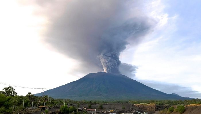
Each month, Jesse Zondervan picks his favourite posts from geoscience and development blogs/news, relevant to the work and interests of Geology for Global Development . Here’s a round-up of Jesse’s selections for the past four weeks: Bali’s Mount Angung started erupting ash this month, and a post on the Pacific Disaster Center’s website gives you an insight into the workings of Indonesia’s early ...[Read More]


