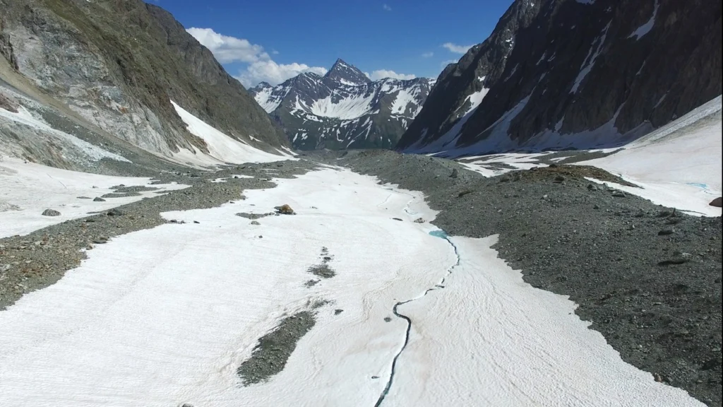
What are debris-covered glaciers? Many alpine glaciers are covered with a layer of surface debris (rock and sediment), which is sourced primarily from glacier headwalls and valley flanks. So-called ‘debris-covered glaciers’ are found in most glacierized regions, with concentrations in the European Alps, the Caucasus, Hindu-Kush-Himalaya, Karakoram and Tien Shan, the Andes, and Alaska and …[Read More]
Latest posts
Imaggeo on Mondays: Heavy machinery
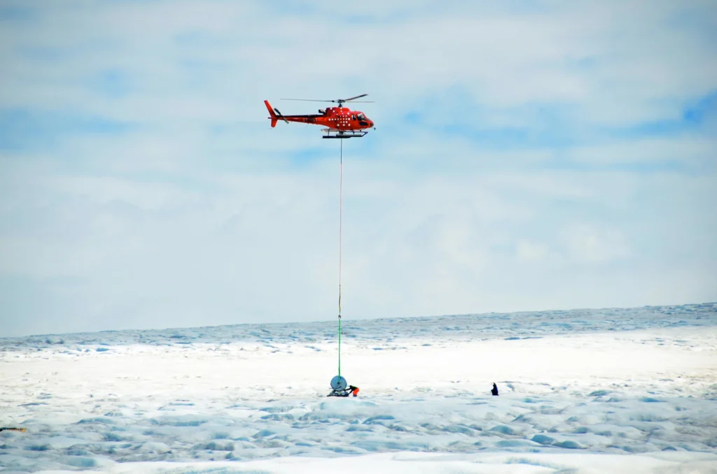
How do you get heavy machinery, such as a drill spool onto an ice sheet? This week’s imaggeo on Mondays’ photography captures the freighting of components of a hot water drill to directly access and observe the physical and geothermal properties at the ice-bed interface. In the image, SAFIRE principal investigator Bryn Hubbard and post-doc Sam Doyle help fly in the …[Read More]
Gender equality in the geosciences: is it a numbers game?
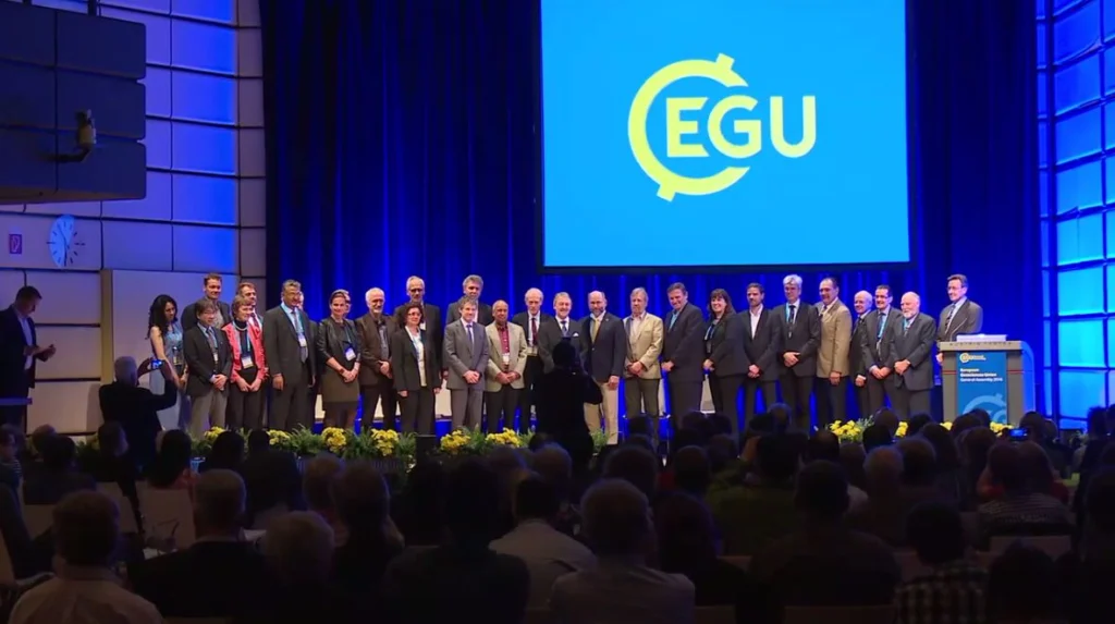
Here’s a tricky question for you. Try and name a woman in geoscience who has won an award for their studies in the last 5 years? How about a man? Chances are it is much easier to think of a male geoscientist who has won an award than a female one, but is that because …[Read More]
A tale about MERMAIDs
Once upon a time there was a little mermaid, with the upper body of a human and a tail of a fish, happily diving within the seven seas. Wait … I’m sorry, that is the wrong story. I will tell you today something about a different generation of MERMAIDs, that are pretty useful for seismologists. …[Read More]
Image of the Week – Canyons Under The Greenland Ice Sheet!
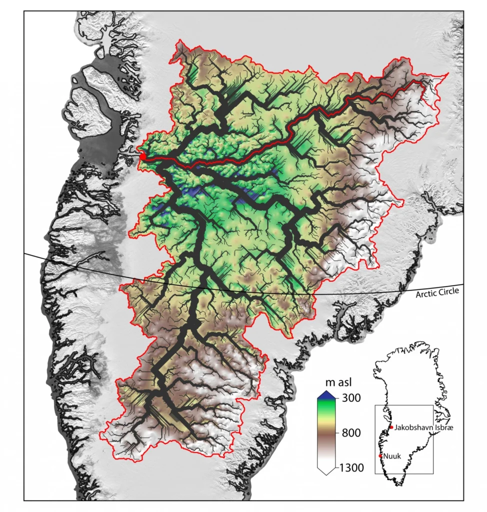
The Greenland Ice Sheet contains enough water to raise sea level by 7.36 meters (Bamber, et. al. 2013) and much of this moves from the interior of the continent into the oceans via Jakobshavn Isbræ – Greenland’s fastest flowing outlet glacier. An ancient river basin hidden beneath the Greenland Ice Sheet, discovered by researchers at …[Read More]
Finding Funding: a how to guide to applying for research grants
Drafting your first grant proposal can be daunting. Grant writing improves with experience, so how do early career scientists compete on an equal footing with those who are more established? At this year’s General Assembly we tackled this very question at the Finding Funding (SC46) short course. Grant Allen, an atmospheric scientist, who has plenty …[Read More]
Marine Ice Sheet Instability “For Dummies”
MISI is a term that is often thrown into dicussions and papers which talk about the contribution of Antarctica to sea-level rise but what does it actually mean and why do we care about it? MISI stands for Marine Ice Sheet Instability. In this article, we are going to attempt to explain this term to you …[Read More]
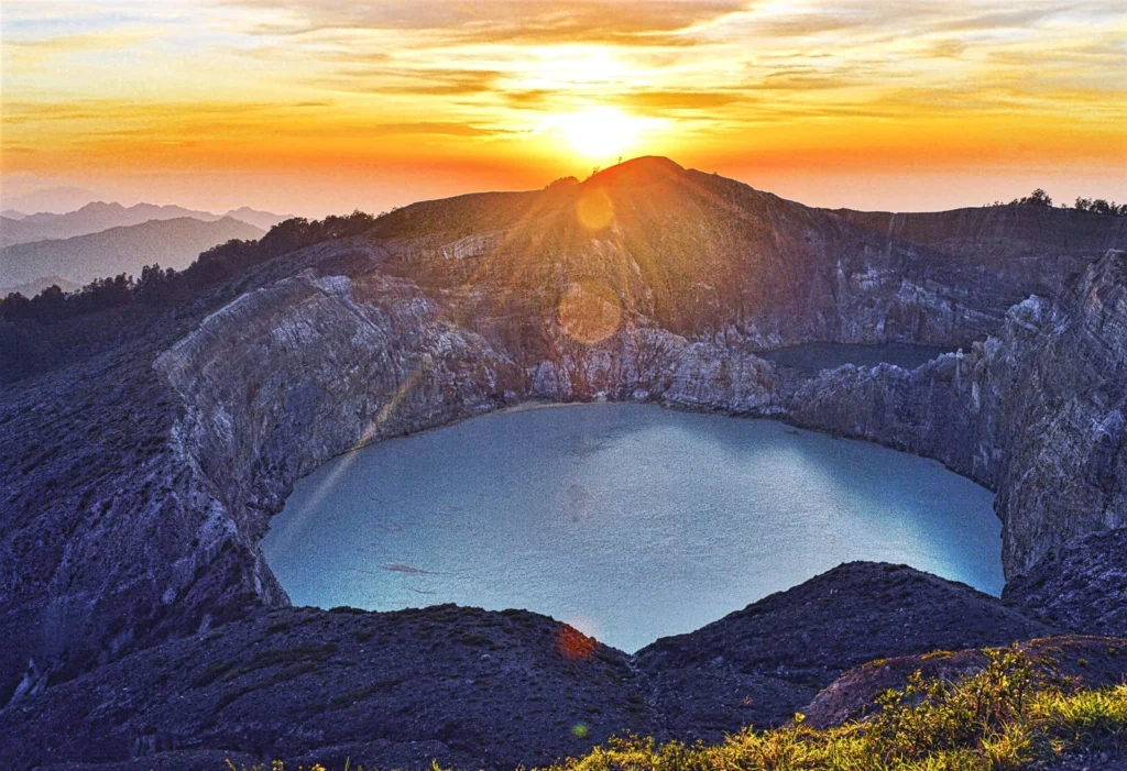
Imaggeo on Mondays: A sunrise over Kelimutu’s three-colour lakes
Volcanoes are undeniably home to some of the most beautiful landscapes on Earth. It doesn’t take much imagination to picture slopes of exceedingly fertile mineral rich soils, covered in lush vegetation; high peaks punching through cloud cover offering stunning vistas and bubbling pools of geothermally warmed waters were one can soak ones worries away. What …[Read More]
Paper of the Month — the first of a (hopefully) long series!
“TRIANGULAR DISLOCATION: AN ANALYTICAL, ARTIFACT-FREE SOLUTION” (by Mehdi Nikkhoo and Thomas R. Walter) COMMENTED BY OLAF ZIELKE “Paper of the Month” is a new blog series launched by the ECS-reps team. The aim is to absorb and share the reading experience of mature seismologists with regards to peer-review articles either recently published (less than 12 …[Read More]
Media skills for scientists – how to get them!
I certainly don’t need to write at any length about the fact I think it is crucial that scientists communicate their research with the public. Over the summer we’ll be sharing a few posts on this very subject. To get the ball rolling I thought I’d focus on one aspect of science communication (#scicomm): how …[Read More]