GeoLog

Regular Features

Imaggeo on Mondays: Why is groundwater so important?

Imaggeo on Mondays: Why is groundwater so important?

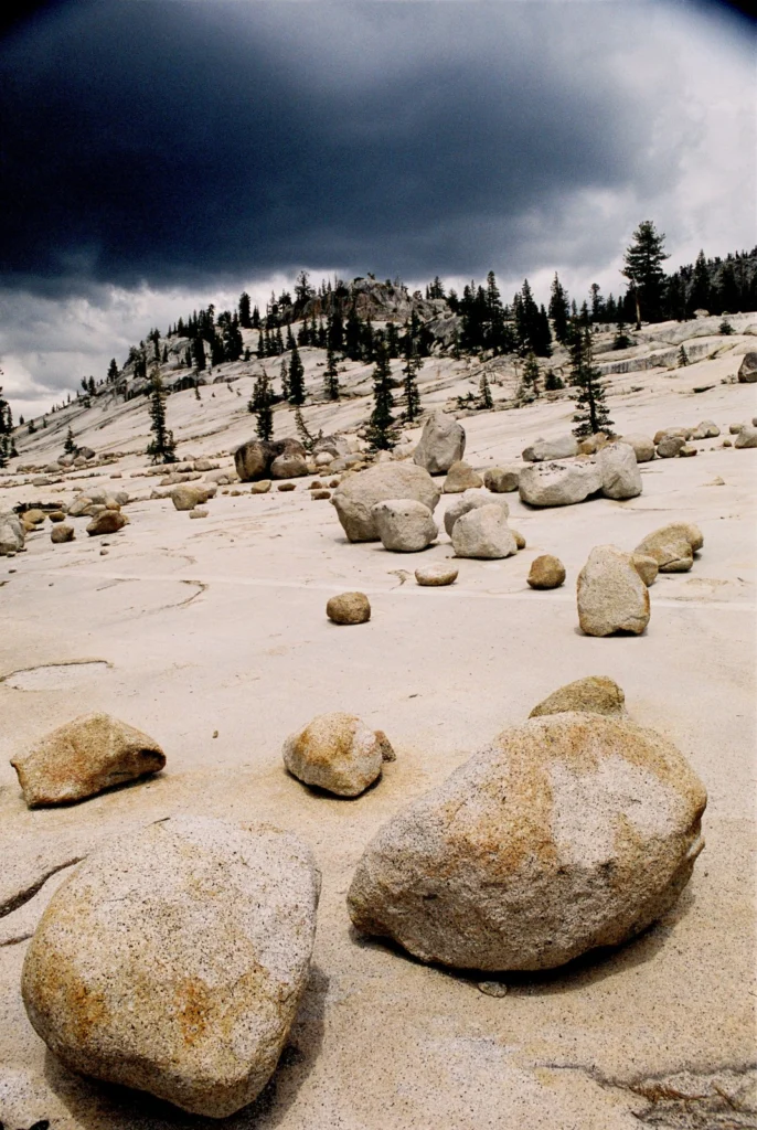
Groundwater is an often underestimated natural resource, but it is vital to the functioning of both natural and urban environments. Indeed, it is a large source of drinking water for communities world-wide, as well as being heavily used for irrigation of crops and crucial for many industrial processes. The water locked in the pores and cracks within the Earth’s soils and rocks, also plays an impor ...[Read More]

Geosciences Column: Pollen tells a 7300 year old story of Malta’s climate and vegetation

Geosciences Column: Pollen tells a 7300 year old story of Malta’s climate and vegetation

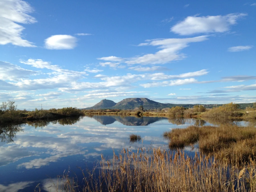
Figuring out what the climate was like, and how it changed, throughout Earth’s history is like trying to complete a 1000 piece puzzle. Except that scientists usually don’t have all the nuggets and building a comprehensive picture relies on a multidisciplinary approach in order to fill in the blanks. This is particularly true during the Holocene, which spans the last 11,700 years of the Earth&#8217 ...[Read More]

Imaggeo on Mondays: Heavy machinery

Imaggeo on Mondays: Heavy machinery

How do you get heavy machinery, such as a drill spool onto an ice sheet? This week’s imaggeo on Mondays’ photography captures the freighting of components of a hot water drill to directly access and observe the physical and geothermal properties at the ice-bed interface. In the image, SAFIRE principal investigator Bryn Hubbard and post-doc Sam Doyle help fly in the drill spool at the start o ...[Read More]

Imaggeo on Mondays: A sunrise over Kelimutu’s three-colour lakes

Imaggeo on Mondays: A sunrise over Kelimutu’s three-colour lakes

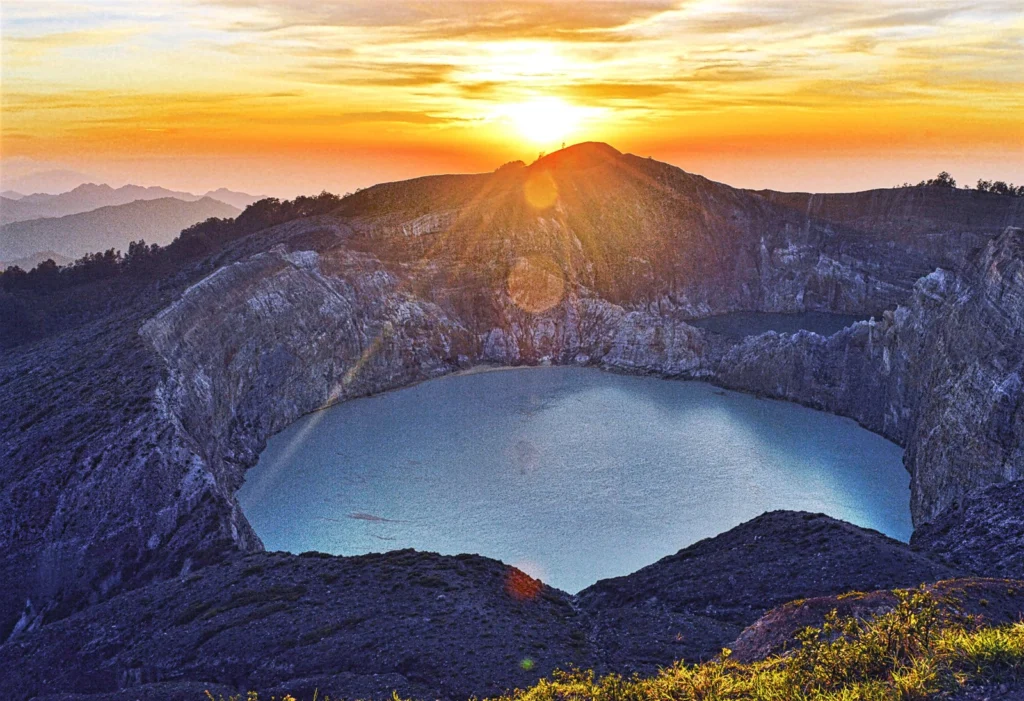
Volcanoes are undeniably home to some of the most beautiful landscapes on Earth. It doesn’t take much imagination to picture slopes of exceedingly fertile mineral rich soils, covered in lush vegetation; high peaks punching through cloud cover offering stunning vistas and bubbling pools of geothermally warmed waters were one can soak ones worries away. What about strikingly coloured crater lakes? Y ...[Read More]

GeoPolicy: 8 science-based projects improving regions in the EU

GeoPolicy: 8 science-based projects improving regions in the EU

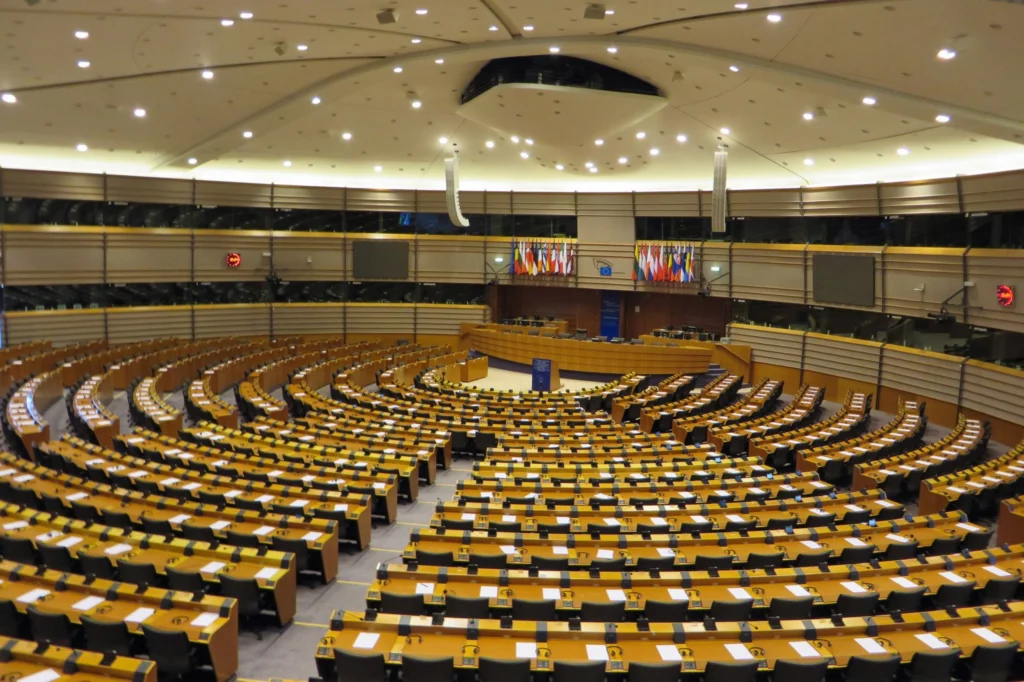
As scientists, it can sometimes be difficult to see the real-world implications of some of our research. Concepts can often seem abstract and remote when sitting in a lab or taking field measurements. But researching the Earth sciences can have profound effects on global society. Understanding how the natural world works can help protect and improve human, animal, and plant life. This month’s GeoP ...[Read More]

Imaggeo on Mondays: Using geophysical techniques to unlock the secrets of the past

Imaggeo on Mondays: Using geophysical techniques to unlock the secrets of the past

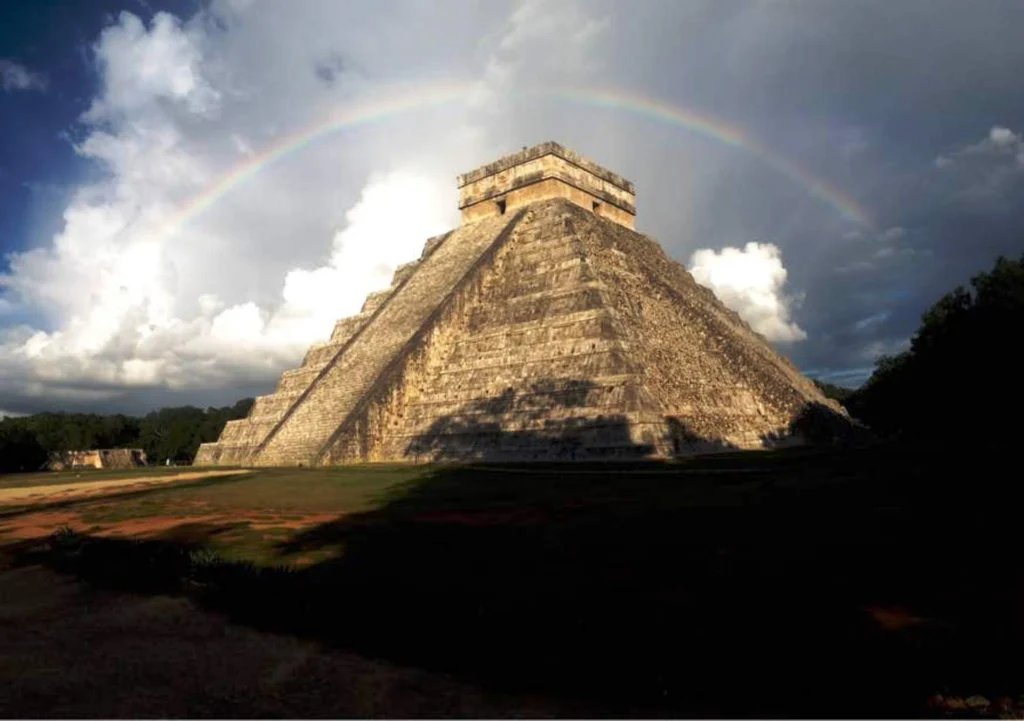
Unravelling the secrets of past civilisations is tricky at the best of times. More so if many of the records which hold clues about how communities lived, built their homes and temples, as well as how they fed themselves, were destroyed by subsequent invaders. In these instances, as Felix Rodriguez Cardozo explains in today’s post, geophysical techniques (such as Lidar, which very recently hit the ...[Read More]

GeoEd: Planet Press – geoscience news for children

GeoEd: Planet Press – geoscience news for children

Inspiring children to be interested in the geosciences isn’t always an easy task. While dinosaurs, volcanoes and earthquakes are a sure hook (rightly so!), there is also much more to the Earth, ocean and planetary sciences!  Not only that, but new developments happen much more quickly than the lifetime of a textbook, meaning that breaking science is often underreported in the classroom.  However, ...[Read More]

Imaggeo on Mondays: The British Winter Storms

Imaggeo on Mondays: The British Winter Storms

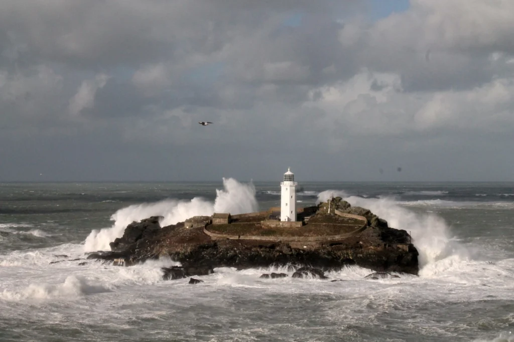
This week’s imaggeo on Monday’s photography is Godrevy Lighthouse in North Cornwall (UK) experiencing the full force of the 2013/14 British Winter Storms which caused damage across the south west of the country. During mid-December 2013 to mid-February 2014 the UK was hit by six major storms bringing record precipitation, strong winds, huge waves and generating overall hazardous conditions. Despit ...[Read More]

GeoPolicy: What’s next for the IPCC & how can early career scientists get involved? An interview with Valérie Masson-Delmotte

GeoPolicy: What’s next for the IPCC & how can early career scientists get involved? An interview with Valérie Masson-Delmotte

This month’s GeoPolicy post is an interview with the newly-appointed co-chair of the Intergovernmental Panel on Climate Change (IPCC) Working Group 1 (WG1): Valérie Masson-Delmotte. Valérie is also a Principle Investigator at the Laboratoire des Sciences du Climat et de l’Environnement, Paris. In this interview she discusses how she balances her two roles, what the IPCC has planned over the ...[Read More]

Imaggeo on Mondays: Storm on the Rock

Imaggeo on Mondays: Storm on the Rock

This is a photograph of Uluru, in the Northern Territory of Australia, on a hot and humid summer afternoon. As lightning flashed about, torrential rains swept across the landscape and silver rivulets of water began to rush down the sides of the mountain. Uluru is made of red-coloured Proterozoic arkosic sandstones, a coarse grained lithology rich in quartz and feldspars. However, on rare days such ...[Read More]