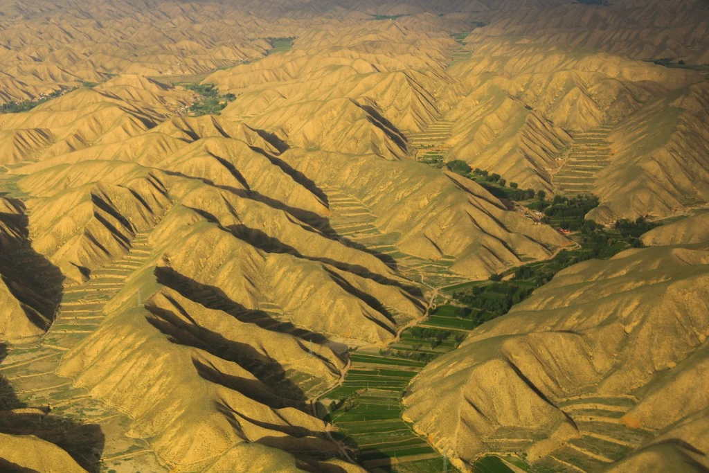
Even within Earth’s more arid environments, you can find life! This featured photo was taken near the Lanzhou Zhongchuan Airport, about 50 km away from Lanzhou city, the capital of Gansu province in Western China. The area lies in a region between the Qinghai-Tibet Plateau and the Loess Plateau, with an elevation ranging from 1,500 …[Read More]
Regular Features
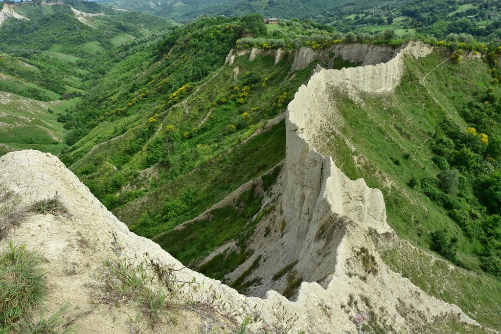
Imaggeo on Mondays: How erosion creates natural clay walls
The badlands valley of Civita di Bagnoregio is a hidden natural gem in the province of Viterbo, Italy, just 100 kilometres from Rome. Pictured here is the ‘wall,’ one of the valley’s most peculiar features, where you can even find the wooden structural remains of a trail used for agricultural purposes in the 19th and …[Read More]
September GeoRoundUp: the best of the Earth sciences from around the web
Drawing inspiration from popular stories on our social media channels, major geoscience headlines, as well as unique and quirky research, this monthly column aims to bring you the latest Earth and planetary science news from around the web. Major stories This month has been a whirlwind of Earth and space science news; the majority focusing …[Read More]
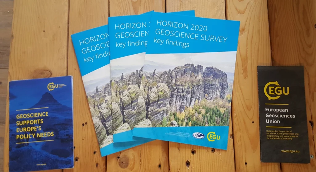
GeoPolicy: Horizon Geoscience!
For the last few months the EGU has been working towards both hosting a dinner debate in Brussels, Belgium, and publishing the Horizon 2020 Geoscience Survey Report which was based on a survey conducted within the geoscience community earlier this year. Both of these endeavours were undertaken together with the European Federation of Geologists (EFG) and …[Read More]
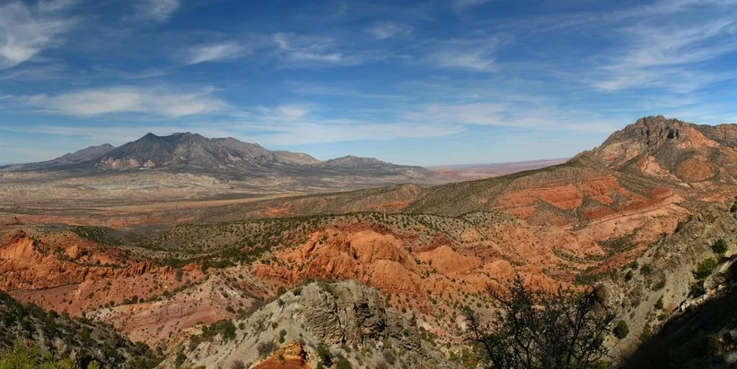
Imaggeo on Mondays: The Henry Mountains, living textbook of modern geomorphology
In 1877, the United States Geological Survey published a report “On the Geology of the Henry Mountains”, on the small range of peaks in southern Utah, pictured here. Up to that point, little scientific study had been made of the unassuming peaks, but the author of the report, one Grove Karl Gilbert, not only detailed …[Read More]
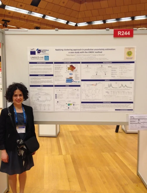
GeoTalk: Nilay Dogulu, Early Career Scientist Representative
In addition to the usual GeoTalk interviews, where we highlight the work and achievements of early career researchers, this month we’ll also introduce one of the Division early career scientist representatives (ECS). They are responsible for ensuring that the voice of EGU ECS membership is heard. From organising short courses during the General Assembly, through …[Read More]
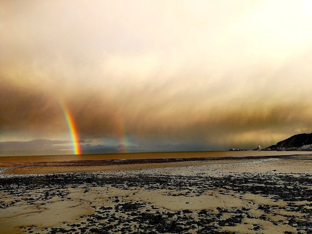
Imaggeo on Mondays: All seasons in one day
Storm fronts arrive on Britain’s west coast in waves throughout the winter (and very often the summer too!) It is not unusual to see rain falling on a beach with hail and snow lying, whilst a rainbow pierces the clouds. Description by Mary Gagen, as it first appeared on imaggeo.egu.eu. Imaggeo is the EGU’s online open …[Read More]
GeoPolicy: What does working at the European Environment Agency look like? An interview with Petra Fagerholm
This blog post features an interview with Petra Fagerholm who is currently leading the team on public relations and outreach in the communications department of the European Environment Agency (EEA). Petra gave a presentation about the EEA during the Science for Policy short course at the 2018 EGU General Assembly. In this interview, Petra describes her career path, what …[Read More]
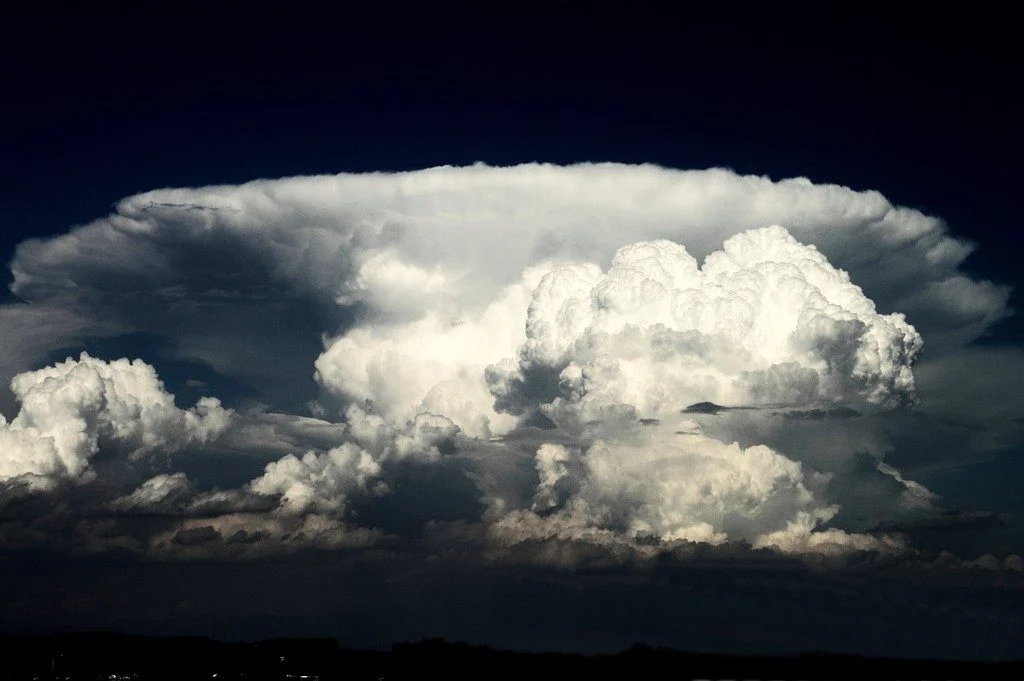
Imaggeo on Mondays: Cumulonimbus, king of clouds
This wonderful mature thunderstorm cell was observed near the German Aerospace Center (DLR) Oberpfaffenhofen. A distinct anvil can be seen in the background meanwhile a new storm cell is growing in the foreground of the cumulonimbus structure. Mature storm cells like this are common in Southern Germany during the summer season. Strong heat, enough moisture, …[Read More]
GeoPolicy: Bridging the gap between science and decision makers – a new tool for nuclear emergencies affecting food and agriculture
The International Atomic Energy Agency (IAEA) has developed an online system to assist in improving the response capabilities of authorities in the event of an emergency caused by natural hazards. The Decision Support System for Nuclear Emergencies Affecting Food and Agriculture (DSS4NAFA), provides a clear overview of radioactive contamination of crops and agricultural lands through …[Read More]