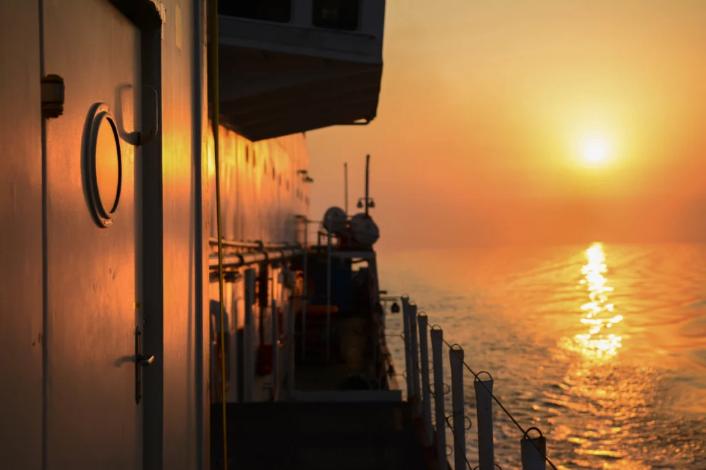
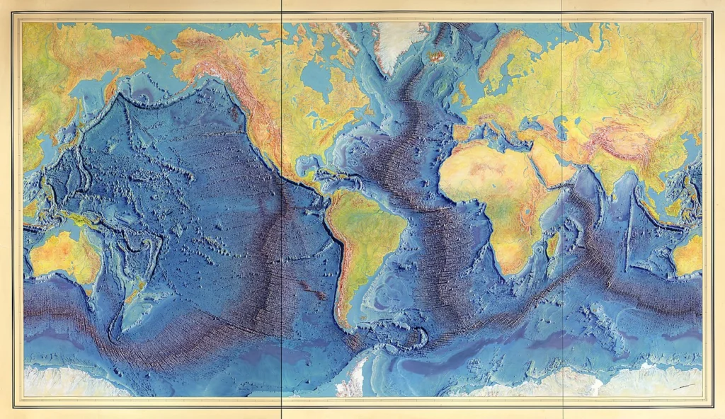
We know the topography of the moon better than the Earth’s seafloor, so we need to keep studying the ocean, and, for me, going to sea is the best way. Only twenty percent of the seafloor is already mapped (see the Seabed 2030 Project), leaving eighty percent of our ocean unmapped, unobserved, and unexplored. This is why ocean going research is fundamental, not only for seabed mapping, ...[Read More]
GeoTalk: Hali Felt, author of ‘Soundings: The Story of the Remarkable Woman Who Mapped the Ocean Floor’
This month for GeoTalk, as we approach the centennial of Marie Tharp’s birth next week, we were lucky enough to speak with the author of her biography ‘Soundings: The Story of the Remarkable Woman Who Mapped the Ocean Floor‘; Hali Felt. Hali has a Master of Fine Arts degree from the University of Iowa and has completed residencies at MacDowell, the Sitka Center for Art and Ecolog ...[Read More]
Imaggeo On Monday: Watercolors- Nature’s talent
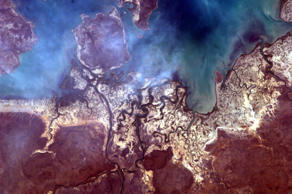
The photo was taken from the International Space Station (ISS), approx. 400 km above the Earth, in the educational project administered by NASA: Sally Ride EarthKAM, Mission 59, November 2017. The image was requested by a team of students from my college, coordinated by me. Even though we weren’t there, on ISS, to trigger the camera, all the locations in which the photographs were taken are ...[Read More]
Imaggeo On Monday: Under the sea, in the deep, where fire meets water and life emerges III
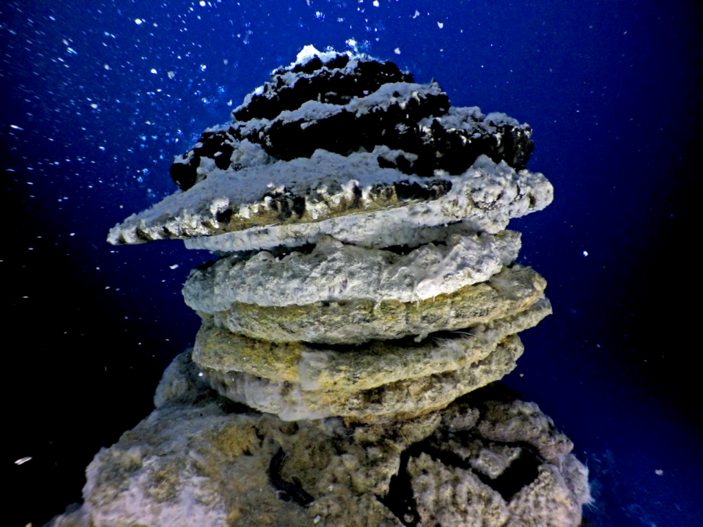
650 metres below the chilly waves of the North Atlantic Arctic Ocean, equidistant between Norway, Iceland and Greenland, are the Jan Mayen Vent Fields. Home to a series of hydrothermal vents strung along a set of normal faults and fissures that run parallel to the seafloor ridge, this is a strange and fascinating place. Hydrothermal vents are places where tectonic activity provides a way for the h ...[Read More]
Imaggeo On Monday: Geoscientific selfie at the Dead Sea
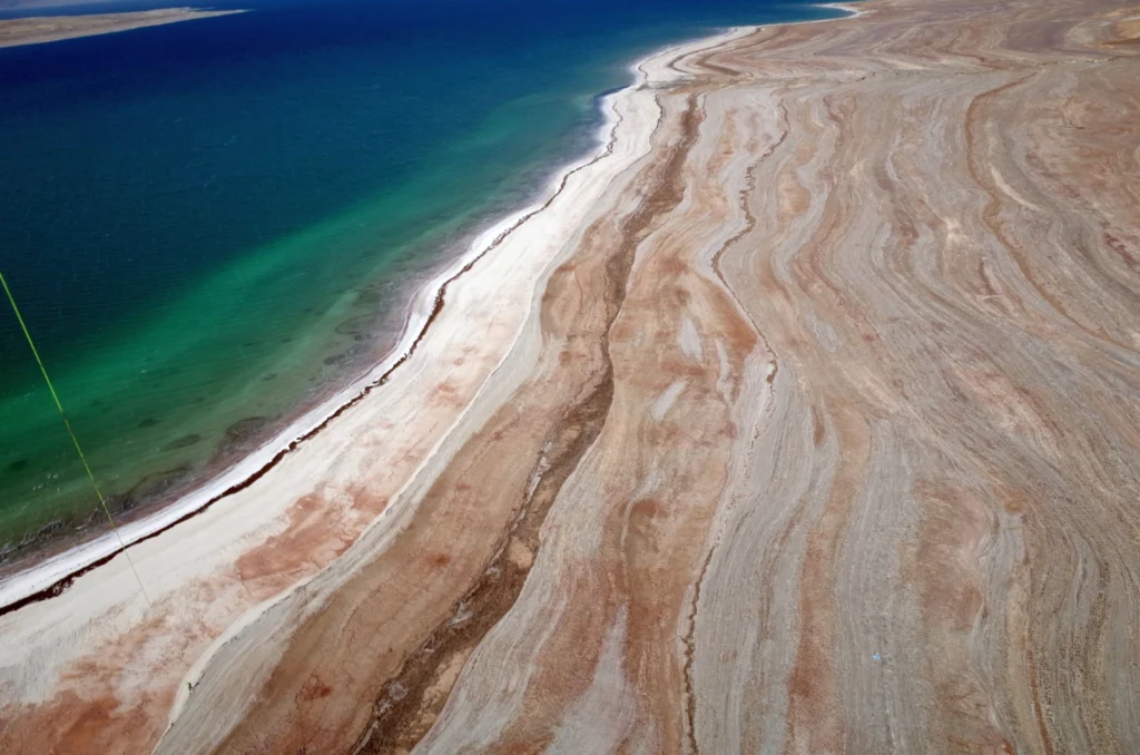
This is an aerial image taken from a balloon at around 150m height, at the eastern shoreline of the Dead Sea. Such “selfies” are scientifically valuable, providing important data that help researchers to analyze the morphology of the retreating lake and investigate associated hazards like sinkholes, subsidence and landslides. The older shorelines, visible as lines on the shore stand fo ...[Read More]
GeoPolicy: How to use webinars to share your science with a wider audience!
Since the explosive spread of COVID19, the way most academics work has changed and it can sometimes feel like we’re all living on conference calls, Skype and online events. While this may not suit everyone’s preferred working style, it’s difficult to deny that people are now more willing to engage online and it’s worth thinking about how we can take full advantage of this new method of working! Ha ...[Read More]
Imaggeo On Monday: Patterns in the landform
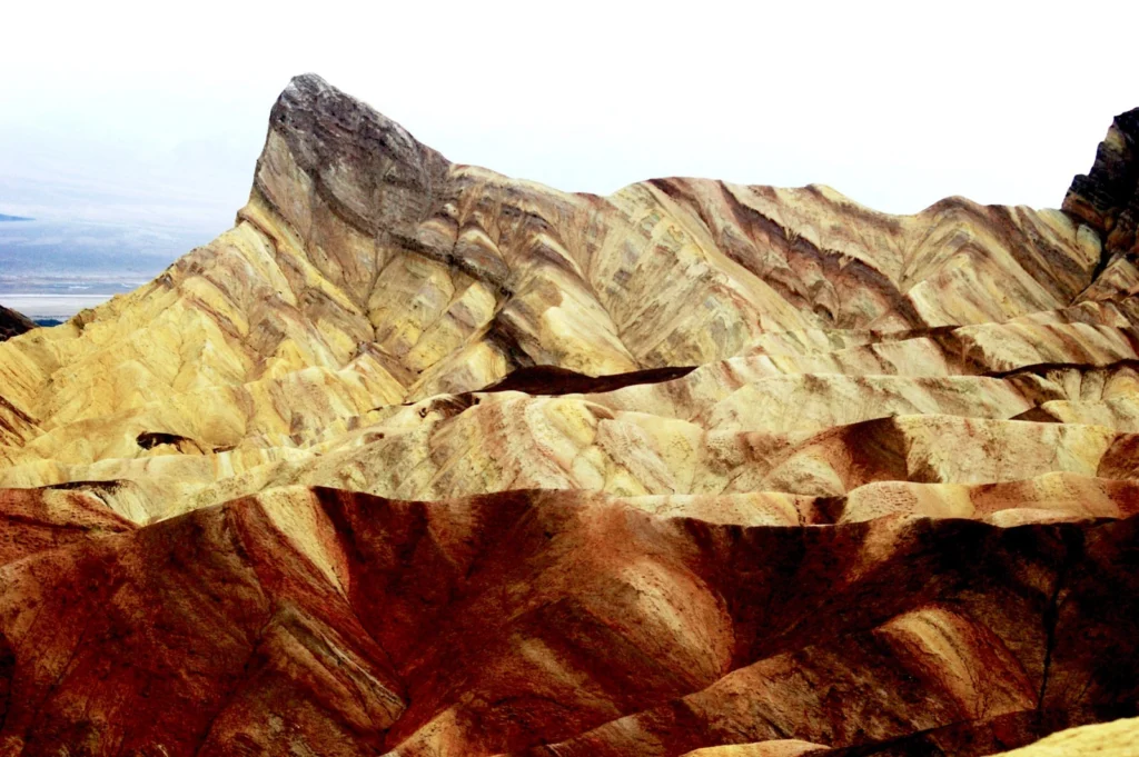
The badlands at the Zabriskie Point (Death Valley, California, USA) rest upon a mudstone foundation. In the prehistoric lakes of Death Valley, fine grained sediments were deposited to form soft rocks. The clay minerals in the mudstone are shaped like tiny plates, which helps create the layers. The combination of the almost impermeable mudstone and Death Valley’s low rainfall makes plant grow ...[Read More]
Geosciences Column: Thunderstorm asthma, the unexpected impact of lightning storms on pollen allergies.
In October 2015 a series of massive thunderstorms rolled across the Eastern Mediterranean. In the hours and days that followed many people living along the Israeli coast had to go to their nearest medical centre because they were experiencing respiratory problems, which appeared very similar to asthma. But what could have caused these breathing problems? Well in research recently published in Natu ...[Read More]
Imaggeo On Mondays: The valley along the fault
The Idrija fault is a an active fault crossing Slovenia for more than 100 km in a NW-SE direction and is responsible for several important geological features in the country. Among them, we can mention the former-active mercury mine of Idrija which has registered as a Unesco World Heritage site since 2012. Another example that demonstrates the impact of this fault is it’s effect on th ...[Read More]
LGBTQIA+ in the field
As a part of any field-based science work, whether it be as an individual scientist, research team or with students, we must first conduct a risk assessment. This often focuses on the physical dangers that you, your colleagues or students may encounter whilst working in stressful and sometimes unfamiliar environments. More recently, field-based risk assessments for physical/environmental scientist ...[Read More]