GeoLog

Imaggeo

Imaggeo on Mondays: Sediments make the colour
Imaggeo on Mondays: Sediments make the colour
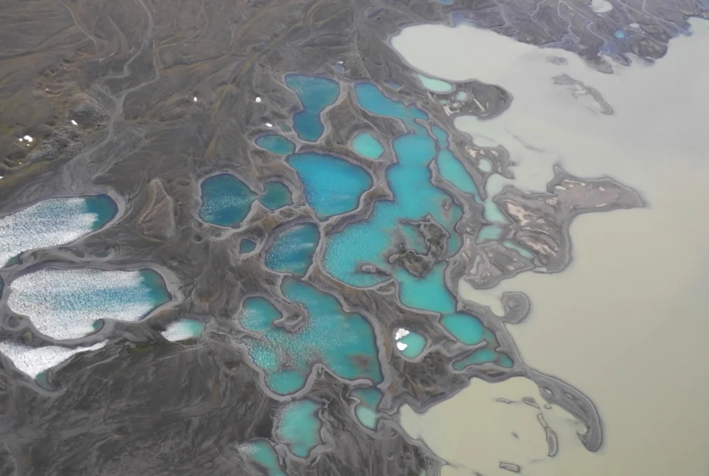
Earth is spectacularly beautiful, especially when seen from a bird’s eye view. This image, of a sweeping pattern made by a river in Iceland is testimony to it. The picture shows river Leirá which drains sediment-loaded glacial water from the Myrdalsjökull glacier in Iceland. Myrdalsjökull glacier covers Katla, one of Iceland’s most active and ice-covered volcanoes. A high sediment load (the suspen ...[Read More]

Imaggeo on Mondays: Salt shoreline of the Dead Sea

Imaggeo on Mondays: Salt shoreline of the Dead Sea

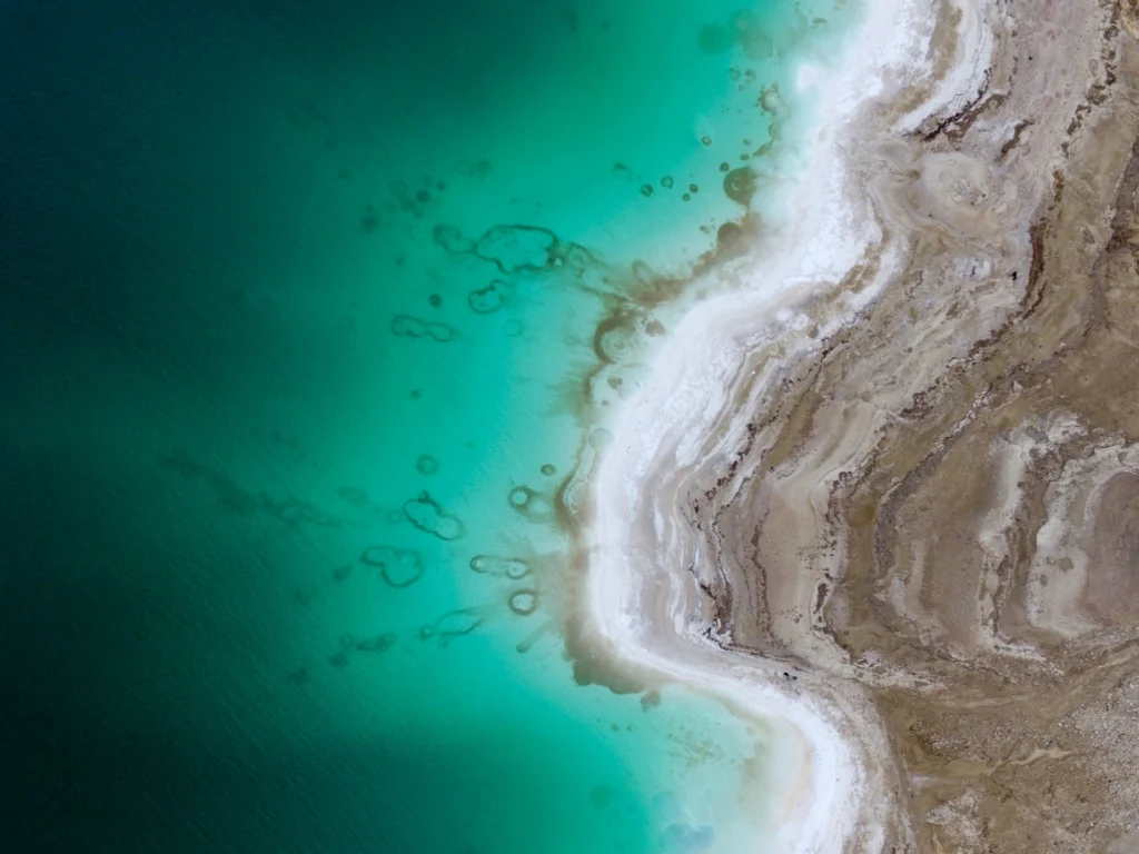
This beautiful aerial image (you’d be forgiven for thinking that it was a watercolour) of the Dead Sea was captured by a drone flying in 100m altitude over its eastern coastline. Climate change is seeing temperatures rise in the Middle East, and the increased demand for water in the region (for irrigation) mean the areas on the banks of the lake are suffering a major water shortage. As a result, t ...[Read More]

June GeoRoundUp: the best of the Earth sciences from around the web

June GeoRoundUp: the best of the Earth sciences from around the web

Drawing inspiration from popular stories on our social media channels, as well as unique and quirky research news, this monthly column aims to bring you the best of the Earth and planetary sciences from around the web. Major Story With June being the month when the world’s oceans are celebrated with World Ocean Day (8th June) and the month when the UN’s Ocean Conference took place, it seemed apt t ...[Read More]

Imaggeo on Mondays: Breath from the underground

Imaggeo on Mondays: Breath from the underground

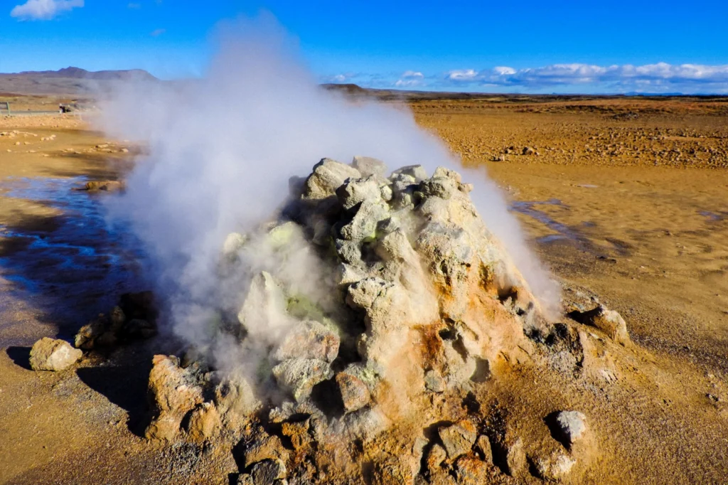
The heat seeping from the geothermal area which is part of the Krafla volcanic system in Iceland, ‘powers’ the steaming vent at Hverir (Hverarönd). The area is well known for its mud pots and sulphuric gas fumaroles, complete with pungent eggy smell. Some of the vents are in fact boreholes drilled in the 50’s for sulphur exploration which have been turned into fumaroles, the steam is a resul ...[Read More]

Imaggeo on Mondays: Erebus Ice Tongue Cave

Imaggeo on Mondays: Erebus Ice Tongue Cave

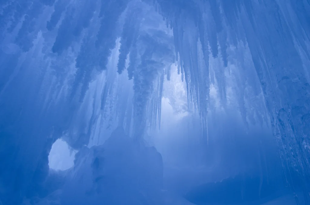
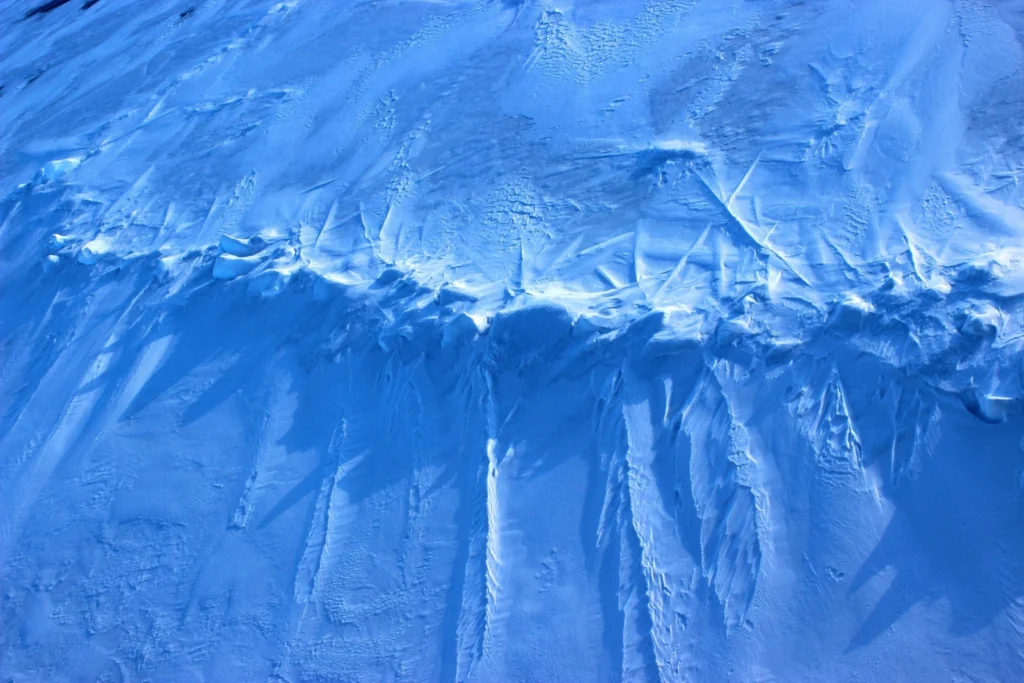
The interior of this ice cave at the Erebus glacier tongue is cathedral-like. Imagine standing in the cold interior, icy blue stalactites dangling from the cave roof; the sense of awe is overwhelming. Mt. Erbus is the world’s southernmost active volcano on Ross Island, in Antarctica. Winding its way down its lower slopes is Erebus glacier. Projecting out from the coast, a jagged and thin tongue ma ...[Read More]

GeoSciences Column: Can seismic signals help understand landslides and rockfalls?

GeoSciences Column: Can seismic signals help understand landslides and rockfalls?

From the top of a small gully in the French Alps, a 472 kg block is launched into the chasm. Every detail of it’s trajectory down the slope is scrutinised by two cameras and a network of seismometers. They zealously record every bounce, scrape and tumble – precious data in the quest to better understand landslides. What makes landslides tick? In 2016, fatalities caused by landslides tipped 2 ...[Read More]

Imaggeo on Mondays: A lava layer cake

Imaggeo on Mondays: A lava layer cake

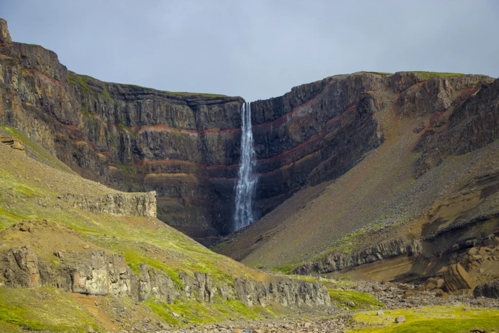
Brekkuselslækur, a small river, carves its way across Iceland’s ancient volcanic landscape. At Hengifoss, Iceland’s third-highest waterfall, it tumbles fiercely down thick, dark layers of lavas erupted from volcanoes some 18 to 2.58 million years ago, during a period of geological time known as the Tertiary. Eruptions are rarely continuous; during hiatuses in the extrusion of lavas, ash is able to ...[Read More]

Imaggeo on Mondays: Sedimentary record of catastrophic floods in the Atacama desert

Imaggeo on Mondays: Sedimentary record of catastrophic floods in the Atacama desert

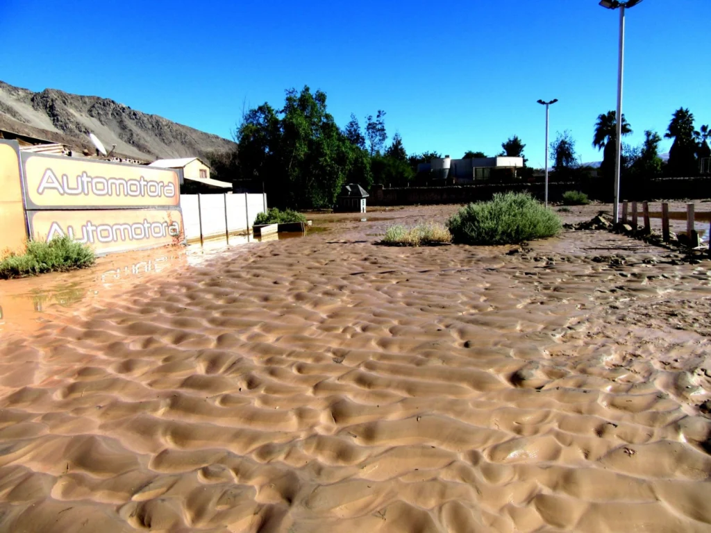
Despite being one of the driest regions on Earth, the Atacama desert is no stranger to catastrophic flood events. Today’s post highlights how the sands, clays and muds left behind once the flood waters recede can hold the key to understanding this natural hazard. During the severe rains that occurred between May 12 and 13, 2017 in the Atacama Region (Northern Chile) the usually dry Copiapó R ...[Read More]

Conversations on being a woman in Geoscience

Conversations on being a woman in Geoscience

While at this year’s General Assembly in Vienna, Keri McNamara, one of the EGU’s press assistants, spoke to a number of female geoscientists (at different career stages), to get their perspective on what being a female in geosciences is like. At this year’s EGU General Assembly I decided to construct a blog out of conversations I had with several women in geoscience, to learn about the ...[Read More]

Imaggeo on Mondays: Polar backbone (Arctic Ocean)

Imaggeo on Mondays: Polar backbone (Arctic Ocean)

This image was taken during the Arctic Ocean 2016(AO16) expedition that ventured to the central regions of the Arctic Ocean, including the North Pole. It shows a pressure ridge, or ice ridge, as viewed from onboard the deck of the icebreaker Oden. It was quite striking that the ice ridge resembled an image of a spine – sea ice being a defining characteristic of the broader Arctic environment and b ...[Read More]