GeoLog

Tectonics and Structural Geology

Imaggeo on Mondays: Smoking mountain top
Imaggeo on Mondays: Smoking mountain top
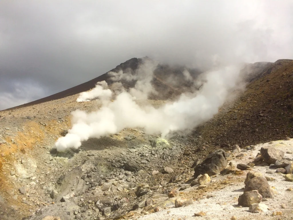
Japan’s northernmost, second largest and least developed island, Hokkaido, is famous for its unspoilt nature. Harsh, cold and snowy winters make way for pleasant summers, which allow tourists and locals to enjoy a variety of outdoor activities, year-round, in the island’s six protected areas. The largest of the natural parks is Daisetsuzan: known for it’s wilderness and volcanoes. It is formed by ...[Read More]

Imaggeo on Mondays: Angular unconformity

Imaggeo on Mondays: Angular unconformity

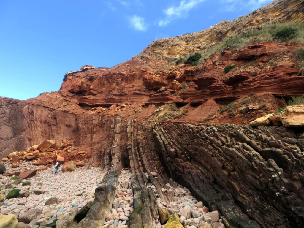
It is not unusual to observe abrupt contacts between two, seemingly, contiguous rock layers, such as the one featured in today’s featured image. This type of contact is called an unconformity and marks two very distinct times periods, where the rocks formed under very different conditions. Telheiro Beach is located at the western tip of the Algarve; Portugal’s southernmost mainland region and the ...[Read More]

October GeoRoundUp: the best of the Earth sciences from around the web

Display "Following Carbon Dioxide Through the Atmosphere" from YouTube Click here to display content from YouTube. Learn more in YouTube’s privacy policy (opens in a new tab). Please enable JavaScript in your browser to load this content. Always display content from YouTube Open "Following Carbon Dioxide Through the Atmosphere" directly Carbon dioxide plays a significant role i ...[Read More]

Imaggeo on Mondays: Measuring the wind direction

Imaggeo on Mondays: Measuring the wind direction

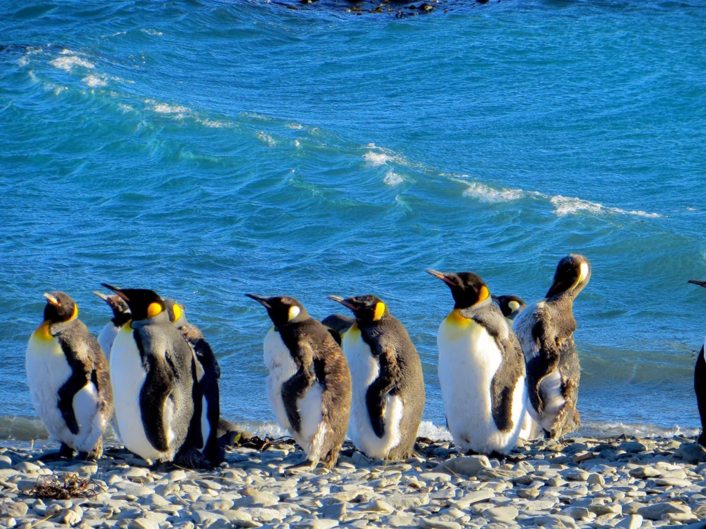
Remote, rugged, raw and beautiful beyond measure, the island of South Georgia rises from the wild waters of the South Atlantic, 1300 km south east of the Falkland Islands. The Allardyce Range rises imposingly, south of Cumberland Bay, dominating the central part of the island. At its highest, it towers 2935 m (Mount Paget) above the surrounding landscape. In the region of 150 glaciers carve their ...[Read More]

September GeoRoundUp: the best of the Earth sciences from around the web

September GeoRoundUp: the best of the Earth sciences from around the web

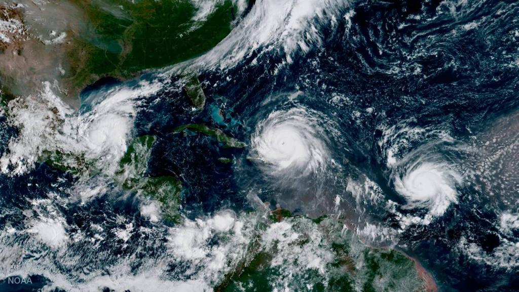
Drawing inspiration from popular stories on our social media channels, as well as unique and quirky research news, this monthly column aims to bring you the best of the Earth and planetary sciences from around the web. Major story and what you might have missed This month has been an onslaught of  Earth and space science news; the majority focusing on natural hazards. Hurricanes, earthquakes and v ...[Read More]

Mexico earthquakes: What we know so far

Mexico earthquakes: What we know so far

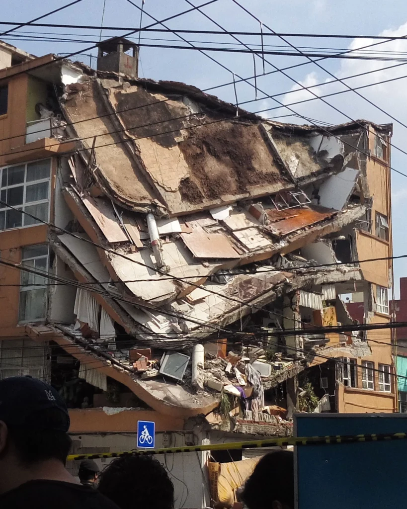
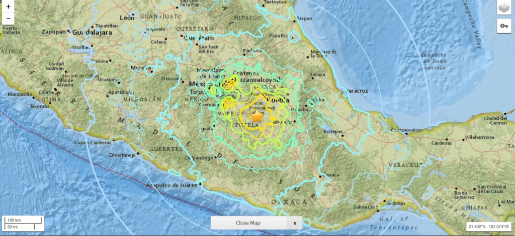
On Friday 8 September 2017 at 04:49 am UTC, a magnitude 8.1 earthquake hit off the coast of Mexico, 87 km SW of Pijijiapan. According to the U.S. Geological Survey, the epicentre was at 15.07 N, 93.72 W at a depth of about 69.7 km. Yesterday, another strong (magnitude 7.1) earthquake hit central Mexico, 55 km SSW of the city of Puebla and 120 km south of Mexico City. Despite the lower magnitude, y ...[Read More]

Mapping Ancient Oceans

Mapping Ancient Oceans

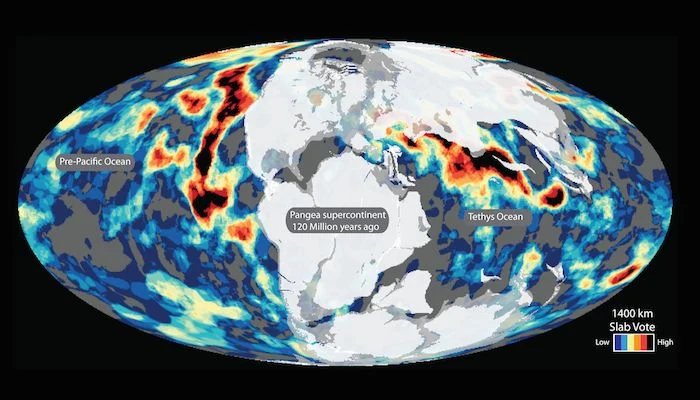
This guest post is by Dr Grace Shephard, a postdoctoral researcher in tectonics and geodynamics at the Centre of Earth Evolution and Dynamics (CEED) at the University of Oslo, Norway. This blog entry describes the latest findings of a study that maps deep remnants of past oceans. Her open access study, in collaboration with colleagues at CEED and the University of Oxford, was published this week i ...[Read More]

Is it an earthquake, a nuclear test or a hurricane? How seismometers help us understand the world we live in

Is it an earthquake, a nuclear test or a hurricane? How seismometers help us understand the world we live in

Although traditionally used to study earthquakes, like today’s M 8.1 in Mexico,  seismometers have now become so sophisticated they are able to detect the slightest ground movements; whether they come from deep within the bowels of the planet or are triggered by events at the surface. But how, exactly, do earthquake scientists decipher the signals picked up by seismometers across the world? And mo ...[Read More]

Imaggeo on Mondays: Symbiosis of ice and water

Imaggeo on Mondays: Symbiosis of ice and water

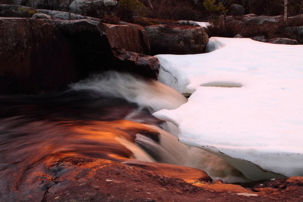
This mesmerising photograph is another of the fabulous finalists (and winner) of the 2017 imaggeo photo contest. Imaggeo is the EGU’s open access image repository. It’s a great place to showcase your photographs; so whether you are stuck in the lab this summer, frantically typing away at a paper, or are lucky enough to be in the field, be sure to submit your photographs for all EGU members to see. ...[Read More]