GeoLog

Ocean Sciences

Imaggeo on Mondays: Isolated atoll
Imaggeo on Mondays: Isolated atoll
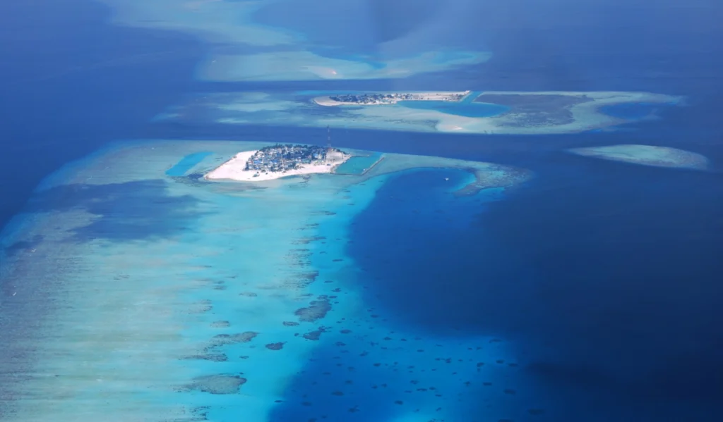
Covering a total area of 298 km², the idylic natural atolls and reefs of the Maldives stretch across the Indian Ocean. The tropical nation is famous for it’s crystal clear waters and picture perfect white sand beaches, but how did the 26 ring-shaped atolls and over 1000 coral islands form? Coral reefs commonly form immediately …[Read More]

Is it an earthquake, a nuclear test or a hurricane? How seismometers help us understand the world we live in

Is it an earthquake, a nuclear test or a hurricane? How seismometers help us understand the world we live in

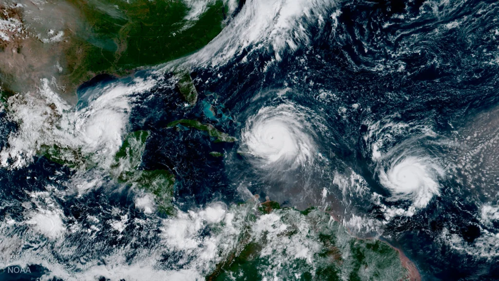
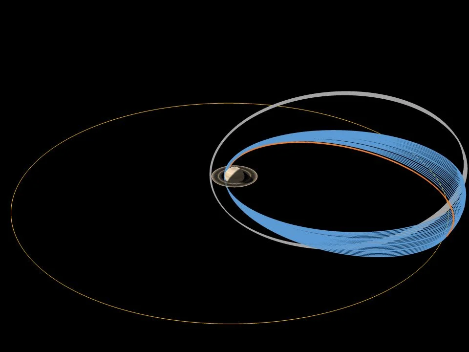
Although traditionally used to study earthquakes, like today’s M 8.1 in Mexico,  seismometers have now become so sophisticated they are able to detect the slightest ground movements; whether they come from deep within the bowels of the planet or are triggered by events at the surface. But how, exactly, do earthquake scientists decipher the signals …[Read More]

Imaggeo on Mondays: Polar backbone (Arctic Ocean)

Imaggeo on Mondays: Polar backbone (Arctic Ocean)

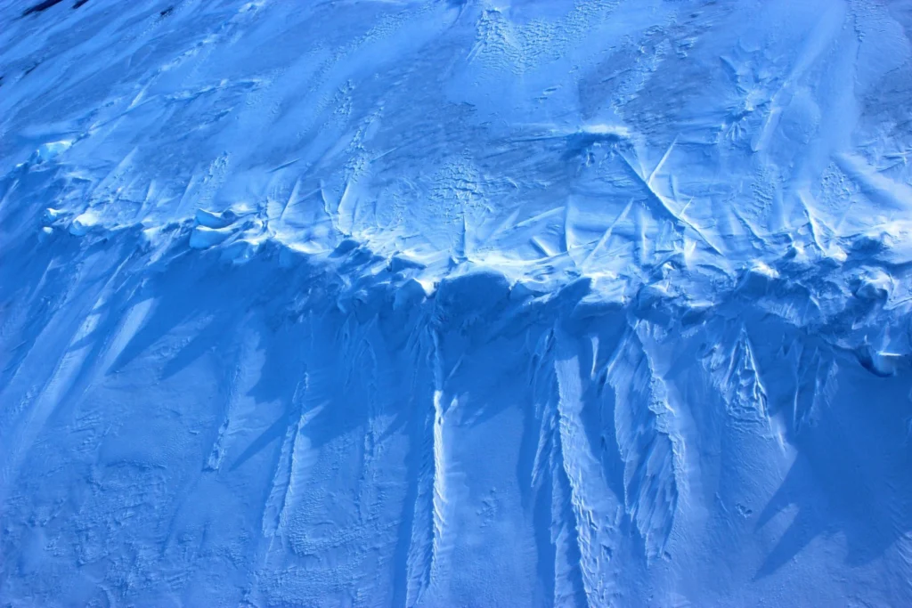
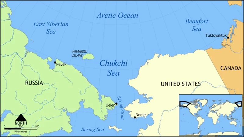
This image was taken during the Arctic Ocean 2016(AO16) expedition that ventured to the central regions of the Arctic Ocean, including the North Pole. It shows a pressure ridge, or ice ridge, as viewed from onboard the deck of the icebreaker Oden. It was quite striking that the ice ridge resembled an image of a …[Read More]

Knowing the ocean’s twists and turns

Knowing the ocean’s twists and turns

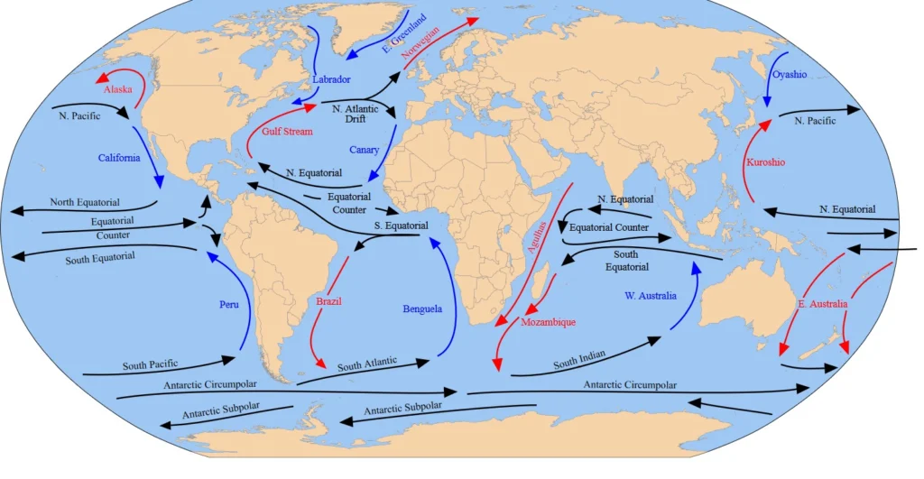
Navigating the ocean demands a knowledge of its movements. In the past, sailors have used this knowledge to their advantage, following the winds and the ocean currents to bring them on their way. Prior to mutiny in 1789, Captain Bligh – on the HMS Bounty – famously spent a month attempting to pass westward through …[Read More]