GeoLog

Hydrological Sciences

Imaggeo on Mondays: Our QUEST for innovative tools to understand changing environments and climates

Imaggeo on Mondays: Our QUEST for innovative tools to understand changing environments and climates

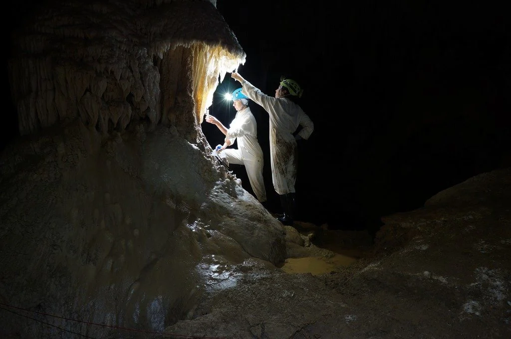
The photo shown here shows typical sampling work underground. You can see Ola Kwiecien and Cinthya Nava Fernandez, researchers at Ruhr University Bochum in Germany, collecting dripwater in New Zealand’s Waipuna Cave as part of a four-year EU-funded monitoring programme. Our research aims at developing innovative geochemical indicators that we can use to quantify changes in the hydrological system ...[Read More]

Groundwater springs harbour hidden viruses

Groundwater springs harbour hidden viruses

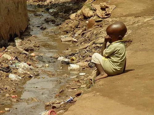
In many parts of Sub-Saharan Africa, groundwater springs are a vital, precious source of water. They are also a reservoir of disease. Research presented at the European Geosciences Union General Assembly in Vienna reveals that groundwater reservoirs in Ghana, Tanzania and Uganda contain diverse communities of viruses – including those that present a risk to human health. The work, carried out by I ...[Read More]

GeoPolicy: Science for Policy at the 2019 General Assembly!

GeoPolicy: Science for Policy at the 2019 General Assembly!

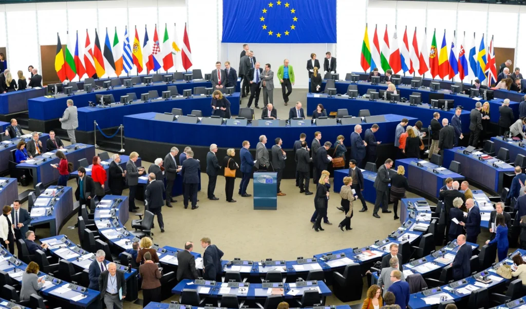
The EGU General Assembly is the largest geoscience meeting in Europe. Not only does it have a diverse array of sessions that you can attend within your own area of expertise but there are also thousands of sessions that will be outside of your research field, as well as sessions on topics that can be applied to a wide range of scientific divisions, jobs and industries – such as science for p ...[Read More]

Geosciences Column: Flooded by jargon

Geosciences Column: Flooded by jargon

When hydrologists and people of the general public use simple water-related words, are they actually saying the same thing? While many don’t consider words like flood, river and groundwater to be very technical terms, also known as jargon, water scientists and the general public can actually have pretty different definitions. This is what a team of researchers have discovered in recent study, and ...[Read More]

GeoTalk: Making their mark: how humans and rivers impact each other

GeoTalk: Making their mark: how humans and rivers impact each other

Geotalk is a regular feature highlighting early career researchers and their work. In this interview we speak to Serena Ceola, a hydrologist and assistant professor at the University of Bologna, Italy, who studies interactions between humans and river systems. At the upcoming General Assembly she will be recognised for her research contributions as the recipient of the 2019 Hydrological Sciences D ...[Read More]

Imaggeo on Mondays: The best of imaggeo in 2018

Imaggeo on Mondays: The best of imaggeo in 2018

Imaggeo, our open access image repository, is packed with beautiful images showcasing the best of the Earth, space and planetary sciences. Throughout the year we use the photographs submitted to the repository to illustrate our social media and blog posts. For the past few years we’ve celebrated the end of the year by rounding-up some of the best Imaggeo images. But it’s no easy task to pick which ...[Read More]

Imaggeo on Mondays: In-tents Icelandic sunset

Imaggeo on Mondays: In-tents Icelandic sunset

This photograph was taken at the campsite near lake Mỳvatn during a field trip to Iceland. Every year a group of students from Wageningen University travels from the Netherlands to Iceland for a weeklong excursion as part of a course on catchment hydrology. The aim of the trip is to provide students with real life examples of the processes they learned during their lectures. After a rainy morning ...[Read More]

Imaggeo on Mondays: Hole in a hole in a hole…

Imaggeo on Mondays: Hole in a hole in a hole…

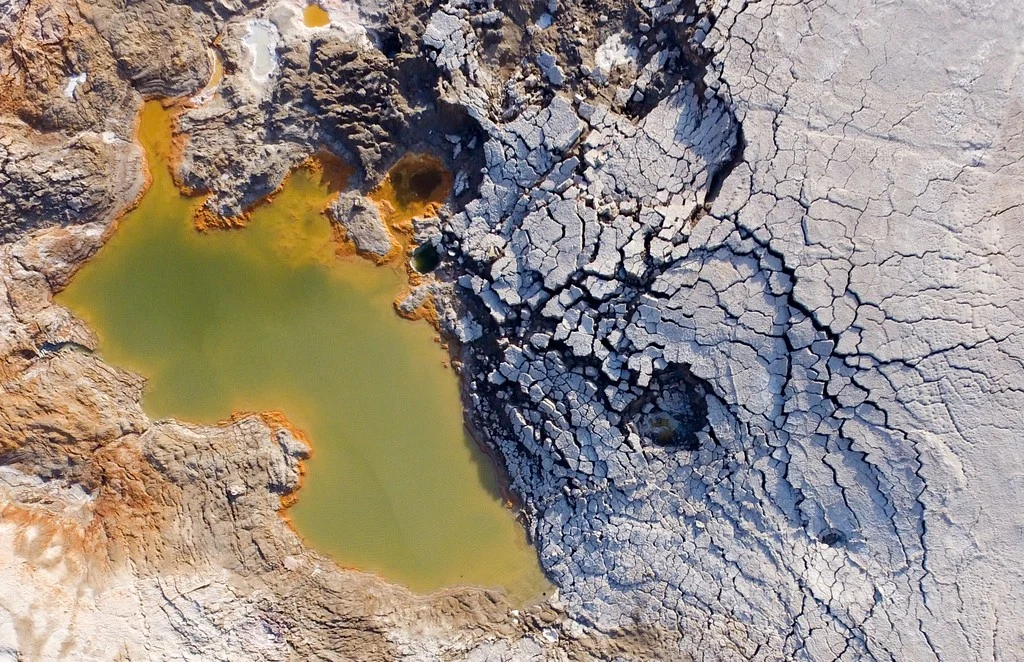
This photo, captured by drone about 80 metres above the ground, shows a nested sinkhole system in the Dead Sea. Such systems typically take form in karst areas, landscapes where soluble rock, such as limestone, dolomite or gypsum, are sculpted and perforated by dissolution and erosion. Over time, these deteriorating processes can cause the surface to crack and collapse. The olive-green hued sinkho ...[Read More]

Geosciences Column: How climate change put a damper on the Maya civilisation

Geosciences Column: How climate change put a damper on the Maya civilisation

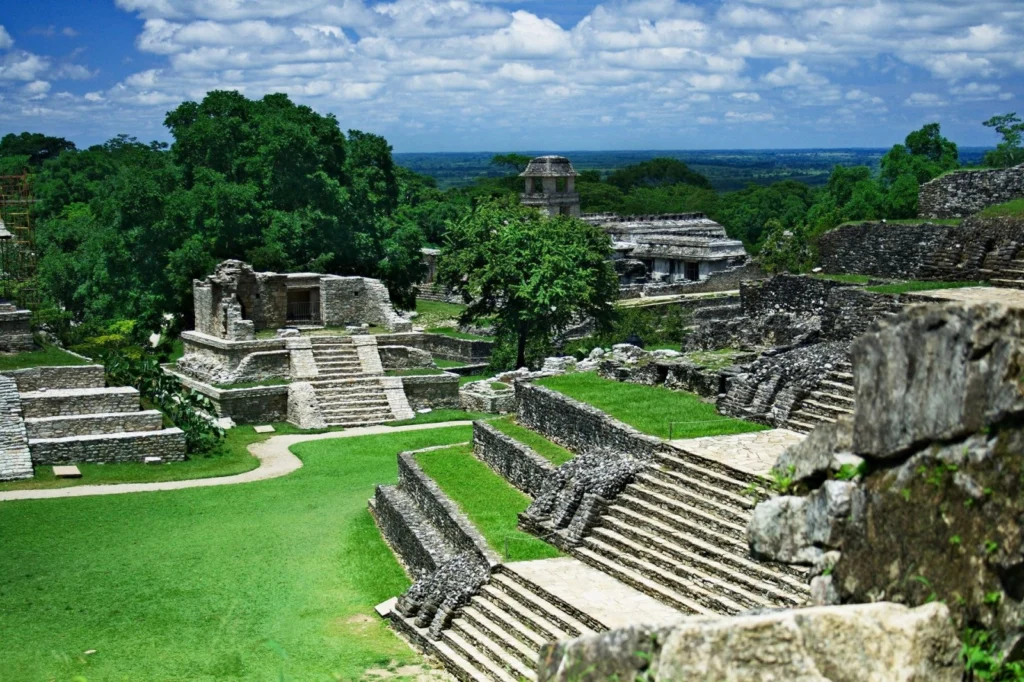
More than 4,000 years ago, when the Great Pyramid of Giza and Stonehenge were being built, the Maya civilisation emerged in Central America. The indigenous group prospered for thousands of years until its fall in the 13th century (potentially due to severe drought). However, thousands of years before this collapse, severely soggy conditions lasting for many centuries likely inhibited the civilisat ...[Read More]

GeoTalk: Nilay Dogulu, Early Career Scientist Representative

GeoTalk: Nilay Dogulu, Early Career Scientist Representative

In addition to the usual GeoTalk interviews, where we highlight the work and achievements of early career researchers, this month we’ll also introduce one of the Division early career scientist representatives (ECS). They are responsible for ensuring that the voice of EGU ECS membership is heard. From organising short courses during the General Assembly, through to running and attending regular EC ...[Read More]