What is the bioeconomy? Global threats such as climate change, ocean acidification, land degradation and an ever-expanding population means that it’s essential for us to reduce our environmental impact while still meetings our demand for food, resources and energy. The bioeconomy covers all sectors and systems that rely on biological resources and their functions including renewable biological re ...[Read More]
Geochemistry, Mineralogy, Petrology & Volcanology
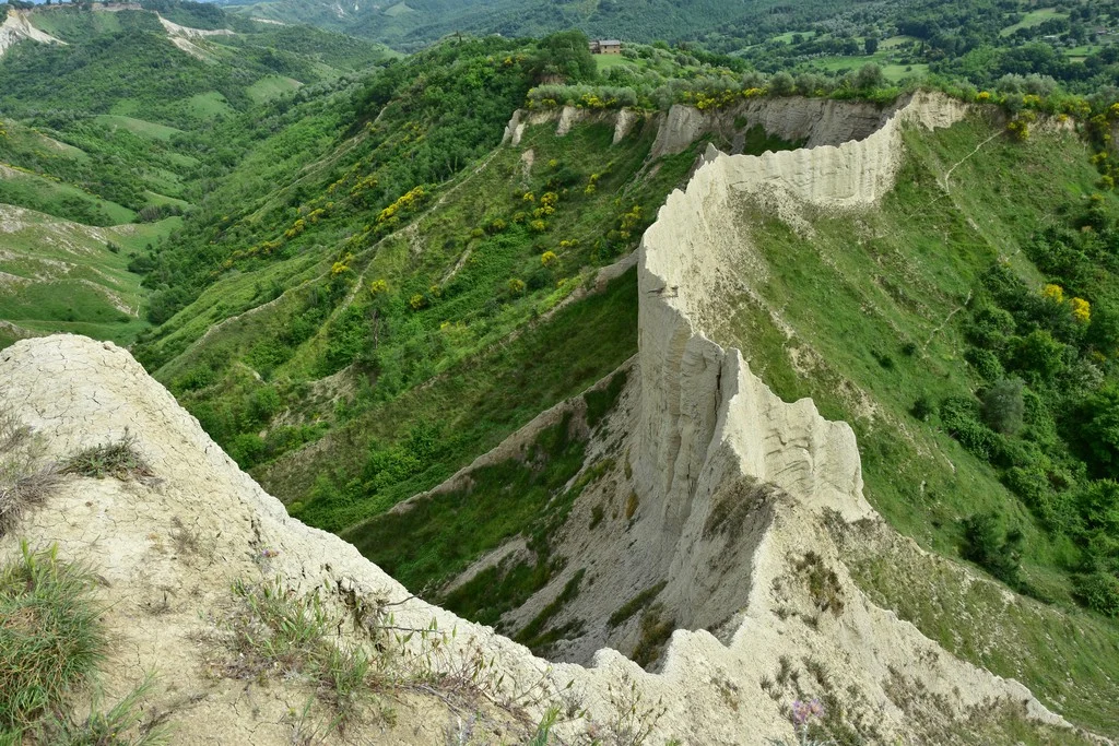
Imaggeo on Mondays: How erosion creates natural clay walls
The badlands valley of Civita di Bagnoregio is a hidden natural gem in the province of Viterbo, Italy, just 100 kilometres from Rome. Pictured here is the ‘wall,’ one of the valley’s most peculiar features, where you can even find the wooden structural remains of a trail used for agricultural purposes in the 19th and 20th centuries. The photograph was taken by Chiara Arrighi, a post-doc research a ...[Read More]
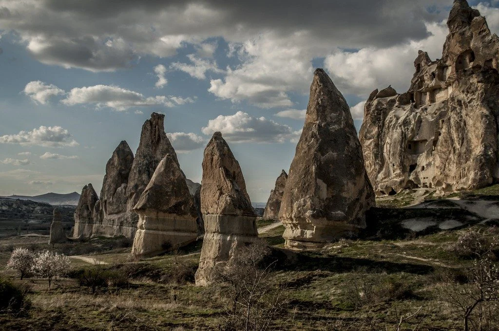
Imaggeo on Mondays: Fairy chimneys in Love Valley
Every year tourists from around the world flock to Love Valley in Göreme National Park in the Cappadocia region of central Turkey to marvel at the region’s peculiarly pointy geological features. These cone-shaped formations, known as ‘fairy chimneys’ or hoodoos, dominate the park’s skyline, with some rocky spires extending up to 40 metres towards the sky. While the name ‘fairy chimney’ suggests my ...[Read More]
June GeoRoundUp: the best of the Earth sciences from around the web
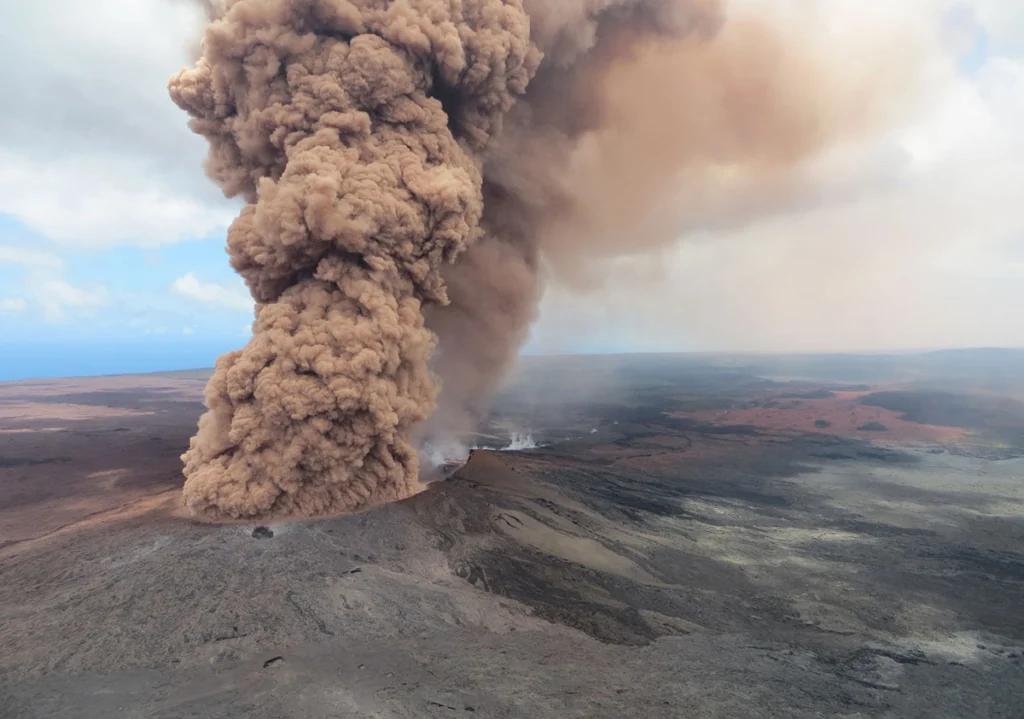
Drawing inspiration from popular stories on our social media channels, as well as unique and quirky research news, this monthly column aims to bring you the best of the Earth and planetary sciences from around the web. Major story While May’s headlines may have been dominated by the Kilauea Volcano’s recent eruption in Hawaii, the science news world directed its attention to another volcanic ev ...[Read More]
Imaggeo on Mondays: Hints of an eruption
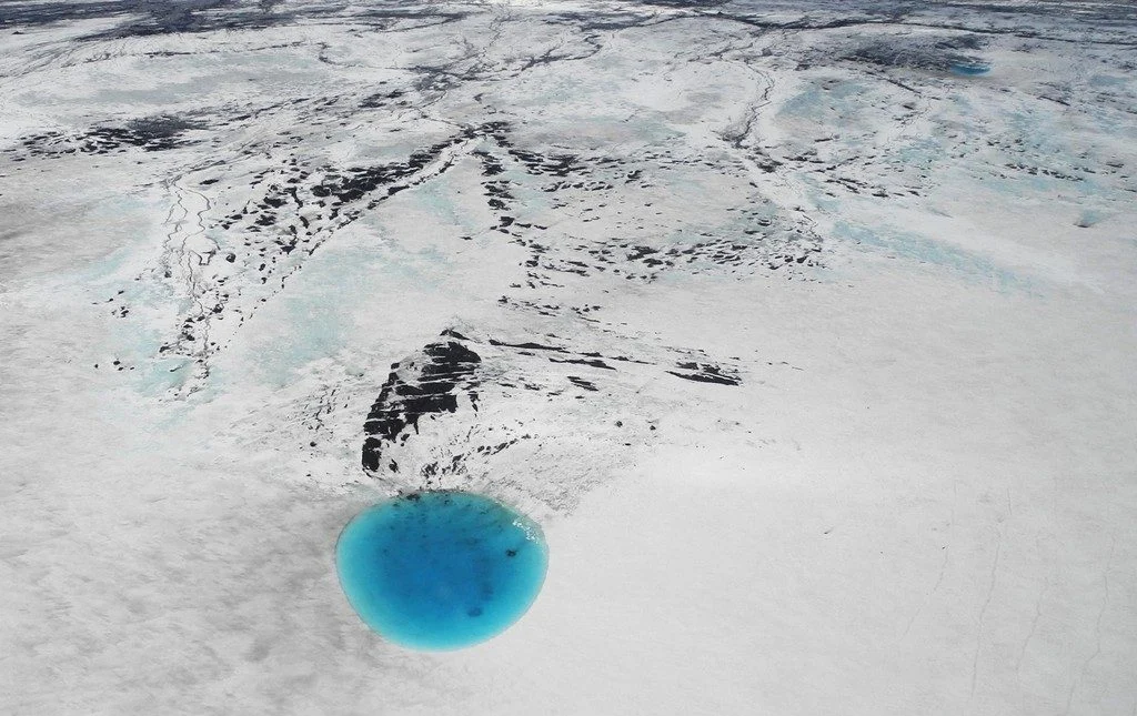
The photograph shows water that accumulated in a depression on the ice surface of Vatnajökull glacier in southeastern Iceland. This 700m wide and 30m deep depression [1], scientifically called an ‘ice cauldron’, is surrounded by circular crevasses on the ice surface and is located on the glacier tongue Dyngjujökull, an outlet glacier of Vatnajökull. The photo was taken on 4 June 2016, less than 22 ...[Read More]
May GeoRoundUp: the best of the Earth sciences from around the web
Drawing inspiration from popular stories on our social media channels, as well as unique and quirky research news, this monthly column aims to bring you the best of the Earth and planetary sciences from around the web. Major Story This month the Earth science media has directed its attention towards a pacific island with a particularly volcanic condition. The Kilauea Volcano, an active shield volc ...[Read More]
Imaggeo on Mondays: A volcanic point of view
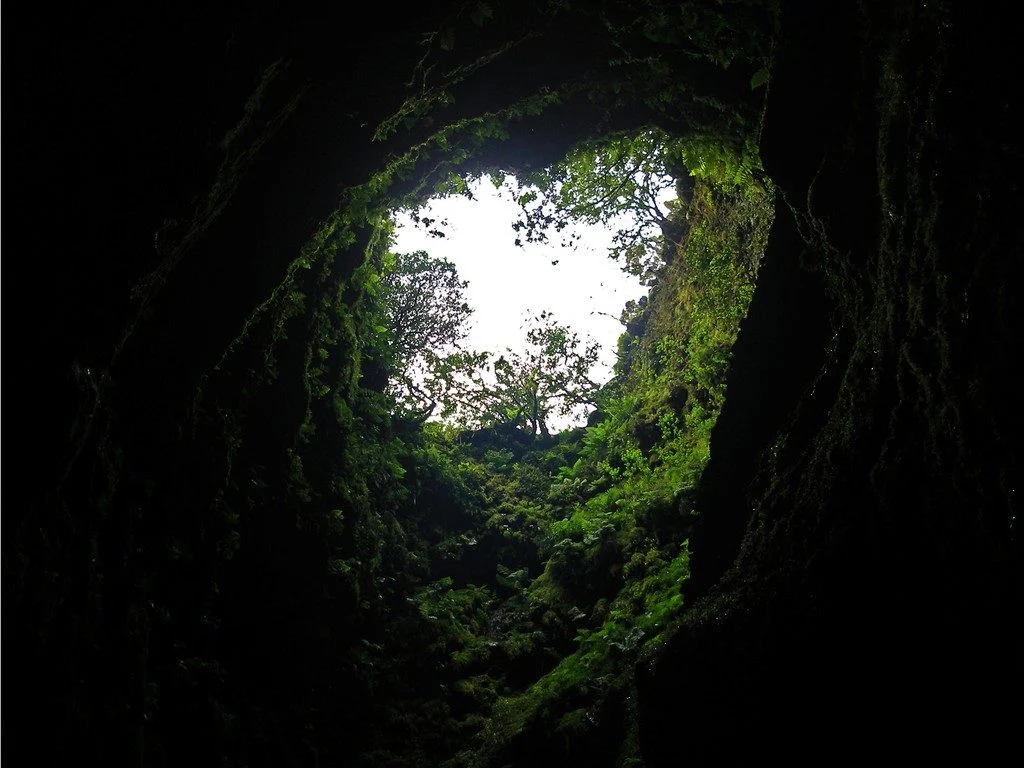
It’s not every day that you can peer into a volcano, much less gaze out at the sky from the inside of one. The Algar do Carvão, or “the Cavern of Coal,” is one of the few places on Earth where you can explore the underground reaches of a volcanic site. The volcanic pit is found on the island of Terceira, part of the Azores archipelago. This collection of islands is an autonomous region of Portugal ...[Read More]
Imaggeo on Mondays: River in a charoite schist
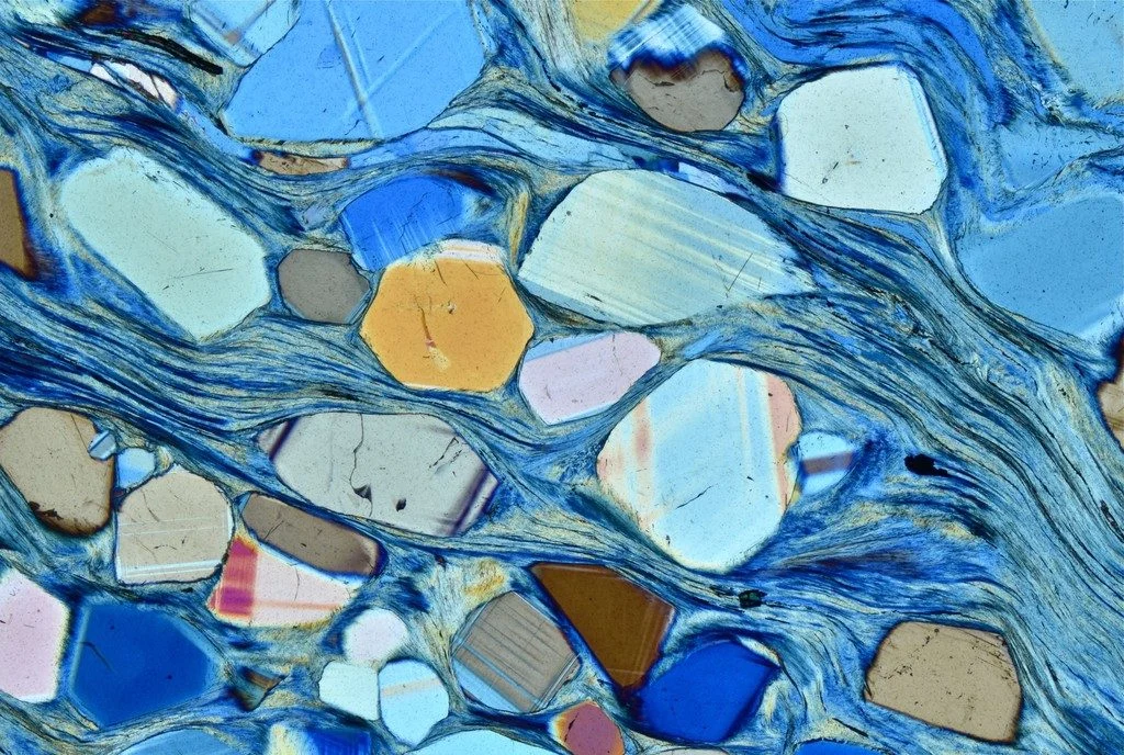
Polarized light photomicrograph of a thin section of a charoite-bearing schist. Charoite is a rare silicate found only at one location in Yakutia, Russia. For its beautiful and uncommon purple color it is used as a semi-precious stone in jewelry. Under the microscope charoite-bearing rocks give an overall feeling of movement, with charoite forming fibrous mats that swirl and fold as a result of de ...[Read More]
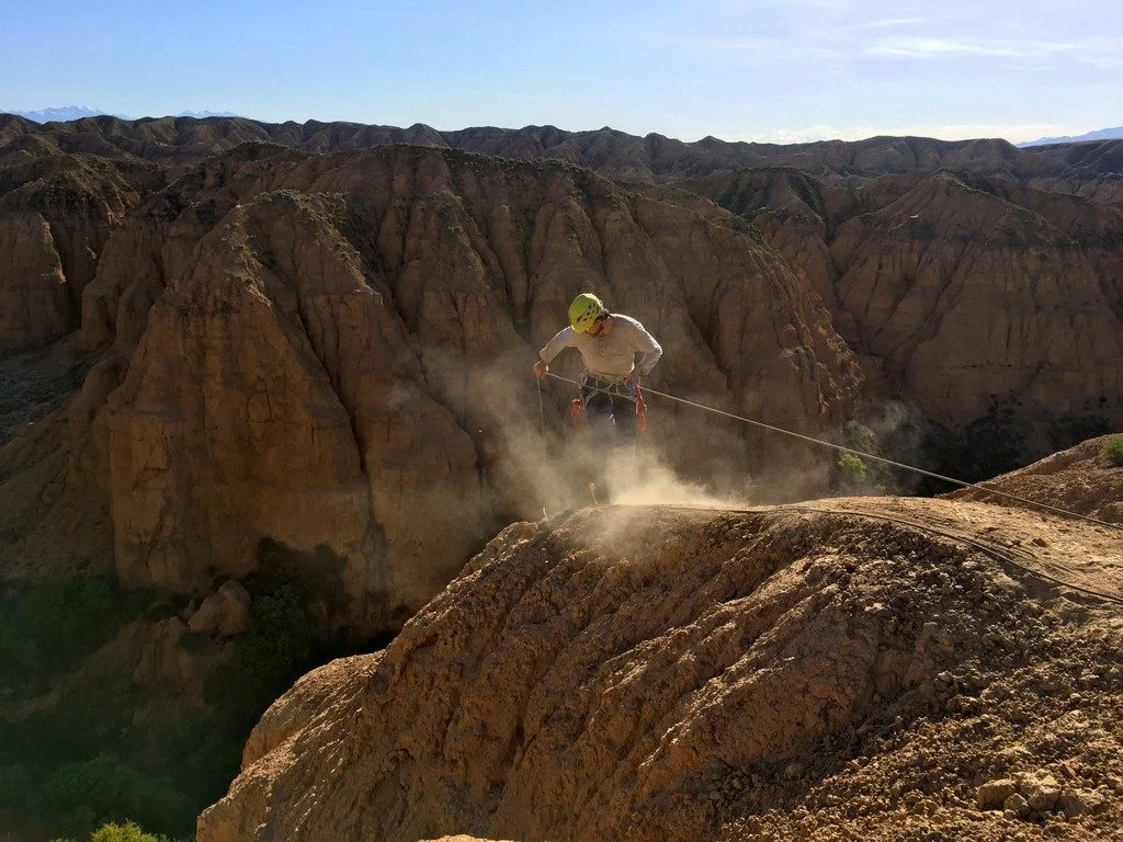
Imaggeo on Mondays: Probing the Pliocene
The heights we go to for science… This photograph shows a member of our team preparing to abseil down a cliff in the Charyn Canyon, in the Ili River basin of southeast Kazakhstan. The Charyn River and its tributaries, a branch of the Ili River north of the Tien Shan Mountains, have cut canyons up to 300 metres deep, carving through rocks of different geologic ages, some as old as 540 million years ...[Read More]
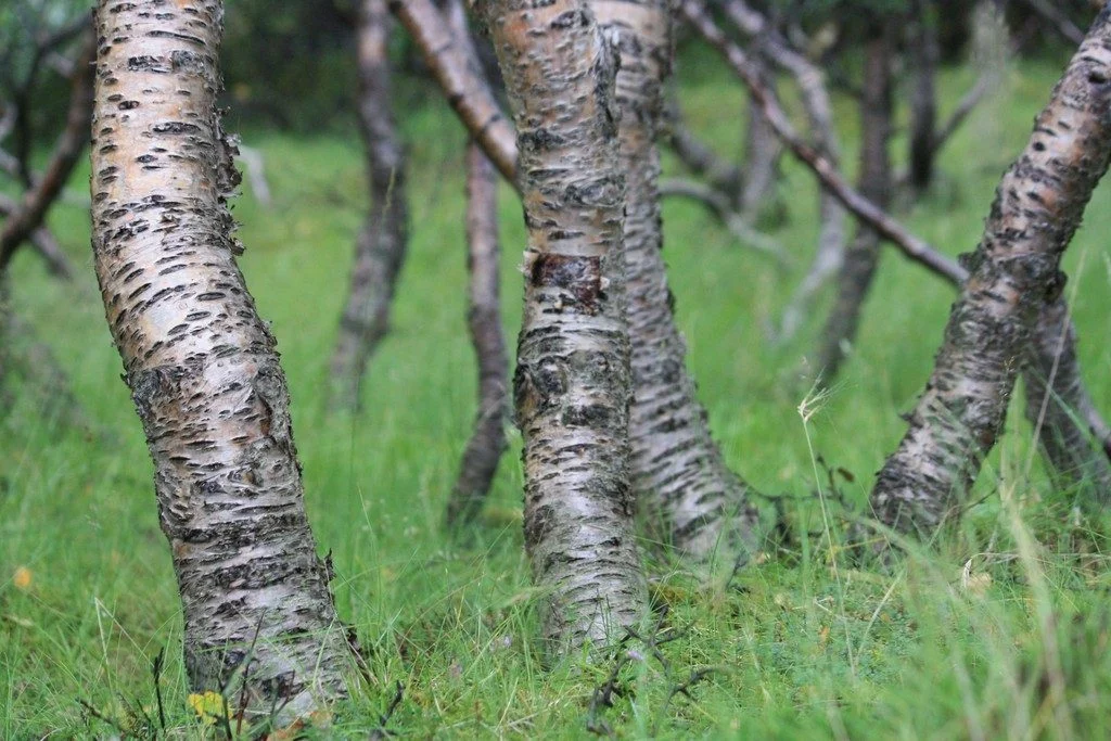
Imaggeo on Mondays: Iceland’s original birch forest
Iceland is a country of dramatically rugged landscapes. The region is home to sweeping valleys and mountain ranges, dotted with lava fields, large glaciers, hot springs and impressive waterfalls. The territory is also notoriously treeless. As of 2016, forests only made up 1.9 percent of Iceland, according to the Icelandic Forest Service. However, about a thousand years ago the country’s landscape ...[Read More]