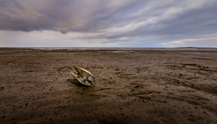
Tidal flats, the muddy reaches of estuaries unveiled at low tide, support rich ecosystems and fisheries worldwide. But these habitats are under threat from climate change, as sea level rise overwhelms the landscape and heavy rainfall scours away the sediment – impacts that scientists are only just beginning to explore. In an effort to understand how shellfisheries are affected by climate change, and to safeguard them for the future, scientists from University of Massachusetts Amherst, together with local shellfish harvesters, are developing rapid ways to assess the mudflats and their underlying geology. It turns out that the simple depth of a boot print can say a lot about the state of the habitat, as sedimentologist Ashlyn Oh shared at this year’s Ocean Sciences Meeting, held in Glasgow in the UK.
Tidal flats in the Gulf of Maine, which extends from Massachusetts in the United States to Nova Scotia in Canada, have been harvested for over 9,000 years and, today, the area provides over 95% of America’s soft-shell clams. Despite their importance culturally, economically and ecologically, scientists are only just beginning to understand the impact of climate change on these coastal environments. “Farmers on land have access to so much data about the soil that they work in. And it’s different on tidal flats…there’s really almost no data that’s available to harvesters” shares University of Massachusetts Amherst graduate student Ashlyn Oh, speaking at the meeting. Oh’s research is the first to develop a baseline data set for these underserved habitats.
In an effort to fill the void, a team of scientists from University of Massachusetts Amherst, Gulf of Maine Research Institute, Northeastern University and Manomet Conservation Sciences, together with shellfish harvesters, have been studying tidal flats to find out how they are impacted by climate change and how much carbon these habitats store.
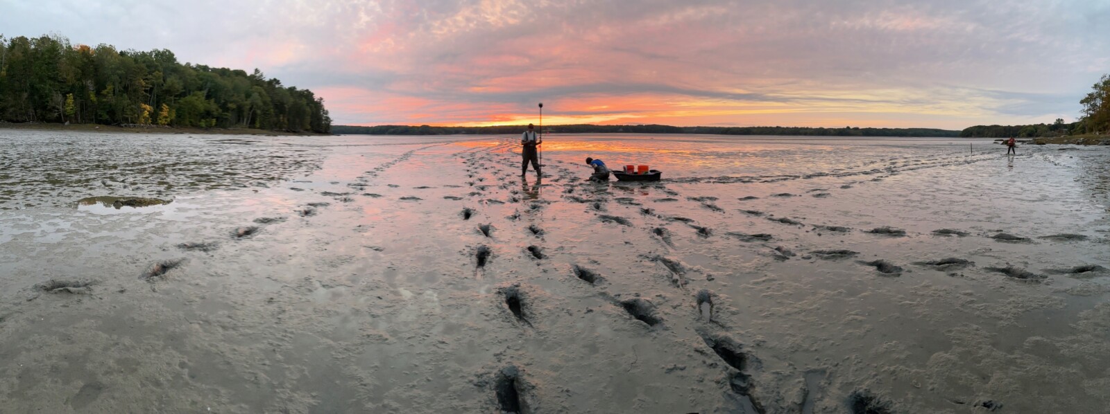
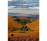
A tidal flat on the Georges River, Maine. The lowest tides of the month often align with sunrise and sunset in the Gulf of Maine, this was taken at sunset. Credit: Ashlyn Oh.
Emerging findings indicate that, as winter ice has declined, so has the amount of sediment in tidal flats. Hannah Baranes, who leads the Coastal Dynamics Lab at the Gulf of Maine Research Institute explains why: “if you have ice covering the flats in the winter, you’re kind of protecting that soft surface layer of sediment from the year’s most energetic waves.” Describing the changes experienced in just a few decades, she adds “we worked with a harvester in one town who said that he noticed as soon as there stopped being significant wintertime ice, he went from sinking up to his hips [in mud] to hitting hard bottom with his boots when he walked out on the flat.” Shifts in the amount of sediment in tidal flats is just one of the ways this habitat is being impacted by climate change, and without sediment, there are no clams. They eat it, live in it, use it to hide from predators; clams, and those whose livelihoods depend on them, rely on sediment. The same way that farmers rely on soil.
Access to tidal flats is also in decline as a small change in sea level can have a huge impact on the area exposed for harvesting. The team are working to find out whether tidal flats in the Gulf of Maine can grow enough to outpace sea level rise – as sediment is transported downriver and deposited at the coast. It’s not looking particularly optimistic for most mud flats, which will continually drown as sea level rises. But the story isn’t the same everywhere: “if there’s a lot of sediment in the water, then [mud flats] are able to grow faster and hopefully sustain the industry for longer,” says Oh, with a note of hope.
No one knows this environment better than the people working in it day in, day out, which is why Ashlyn Oh and their colleagues are teaming up with harvesters to learn more about the underlying geology and state of the habitat. “Shellfish harvesters work viscerally in this mud twice a day through almost every season. They have a lot of intuitive knowledge about flats.”
Oh shares one example: “we’ve talked to one person, his name is Bailey, and he said when he first started working on his flat, a few decades ago…he used to be able to step into mud that would come up to his calf and now it barely covers the top of his shoe.” The less sediment there is, the less life the habitat can support. “Some [tidal flats] have maintained really healthy shellfish output, particularly in places that seem to have a lot of sediment in the water. Others have become what folks call ‘dead mud’. That’s what Bailey’s tidal flat has become over the last couple decades – you can no longer find clams anywhere.”
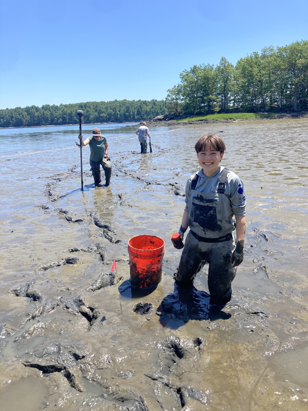
Stuck in the mud. Ashlyn Oh and their colleagues Jon Woodruff and Hannah Baranes out on the flats. Credit: Ashlyn Oh.
To better understand the fingerprint of climate change on these fragile habitats, scientists and shellfish harvesters in the Gulf of Maine are working together, but finding a common language hasn’t been easy. “The harvesters obviously care a lot about the biology and, as geologists, that’s not our specialty… it’s kind of like, ‘where can we connect?’ And the sediment texture has been a very useful one. It impacts the harvesters because they’re walking through it and so they’re sensitive to small changes,” Oh explains. For geologists, “there’s a very intuitive correlation where the depth to which you sink when you walk through the mud is associated with the density. And, fortunately, the density of sediment is very strongly correlated with its organics, its water content, its grain size and so it offers this kind of opening door to all of these other characteristics that we care about.” From its capacity to store carbon to how suitable the habitat might be for shellfish, a lot can be learned from your footprints and how deeply you sink in the mud.
Combining the lived experience of harvesters with detailed sediment measurements, has led to a new approach – where only a boot print is needed to learn how the tidal flats are changing. It’s a low-cost, speedy and surprisingly straightforward way to learn about the state of the environment. Now, the humble boot print is being used in citizen science initiatives throughout the region; the data is helping to ground-truth complex models, and is being used to inform local management. Along North America’s Atlantic coast, shellfish harvesters are filling in knowledge gaps – one step at a time.