GeoLog

Geoscientific Methods

Mars’ lost oceans: Inside the new planetary hydrology model published in EGU’s Geoscientific Model Development (GMD)
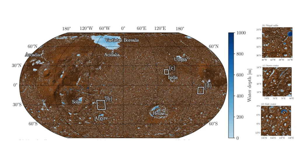
Mars’ lost oceans: Inside the new planetary hydrology model published in EGU’s Geoscientific Model Development (GMD)
If we look at Mars today, we’ll see a cold, dusty desert, but peel back the surface geology, and the planet tells quite a different story! Networked river valleys, ancient deltaic fans, carved impact crater lakes, and potential palaeoshorelines all point to a warm and active past during the Noachian and early Hesperian epochs, circa …[Read More]

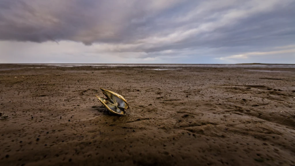
Footprints reveal climate’s mark on mudflats

Footprints reveal climate’s mark on mudflats

Tidal flats, the muddy reaches of estuaries unveiled at low tide, support rich ecosystems and fisheries worldwide. But these habitats are under threat from climate change, as sea level rise overwhelms the landscape and heavy rainfall scours away the sediment – impacts that scientists are only just beginning to explore. In an effort to understand …[Read More]

The existential modelling crisis – and how to overcome it

The existential modelling crisis – and how to overcome it

Recently, we had a big name in fire ecology visiting our institute. He had come, among other things, to look for records of a certain fire-adapted shrub in my university’s herbarium. While myself and a colleague helped him go through the stacks of pressed and archived specimens, I asked him why there were so little …[Read More]

AI: the good, the bad, and the forgotten

AI: the good, the bad, and the forgotten

AI is here, and when I say here, I mean e-v-e-r-y-w-h-e-r-e. For all you know, this blog may have been written by an algorithm (it wasn’t — I’m not a robot, promise. Or am I?). In what feels like the blink of an eye, AI has gone from a curiosity to a fully-fledged co-pilot in …[Read More]

How can scientists see ice underground? Recent study reveals how!

How can scientists see ice underground? Recent study reveals how!

When it comes to peering beneath the Earth’s surface, geophysicists have an arsenal of high-tech tools at their disposal. But what happens when you need to track something as elusive as underground ice forming and melting in real time? Enter borehole Ground-Penetrating Radar (GPR), the underground detective that helped Peter Jung and his colleagues image …[Read More]