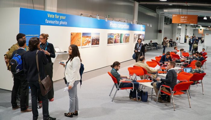
This year’s Photo Competition judging panel did a fantastic job of narrowing down the outstanding photo submissions to the EGU’s Photo Competition to just 10 finalists! The finalist photos are listed below and on the Imaggeos website where you can vote for them from today (27 April) until 7 May 2020. Then three photos with the most votes will be announced online at midday on 8 May!
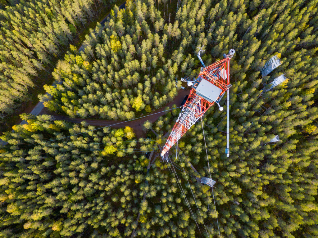
Flux tower in Finland, Jonathan Müller
Collaboration with researchers worldwide is one of the pillars of science. On a visit in Helsinki, I had the opportunity to visit the Hyytiälä Forest Research Station that contains a 128m high flux tower for measuring Ecosystem-Atmosphere Relations. Advanced research is being done here on many aspects of Earth system, from the depths of soil to atmospheric processes.
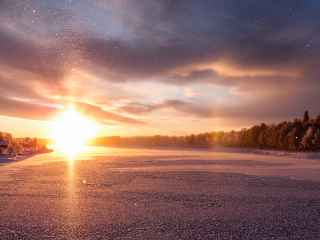
Ice fog and solar halo, Maxime Grandin
In late November in Sodankylä (Finland), the sun barely rises above the horizon around noon. The grazing polar winter sun combined with the ice fog produced spectacular pillars of sparkling ice crystals as well as a very prominent halo.
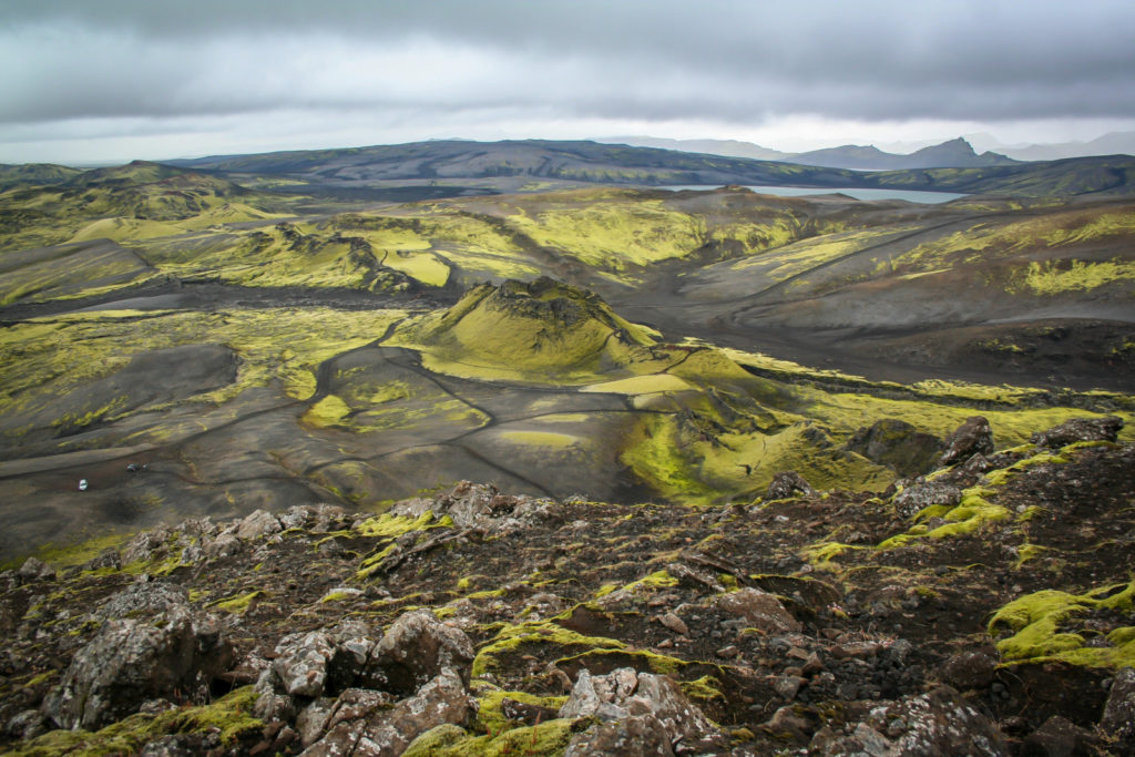
From Fires to peaceful landscape, Szabolcs Harangi
This colourful, peaceful landscape in southern Iceland represents a place where the second largest basaltic flood lava eruption occurred in the summer of 1783. A 25 km long eruptive fissure opened here from the Grimsvötn volcano and 15 cubic kilometres of lava extruded over 8 months, covering 600 km2. More than 100 volcanic cones developed along the fissure. The consequence of this volcanic event was disastrous: animals perished and 25% of the population in Iceland died in the famine. The vast amount of emitted sulphur-dioxide caused dry smog followed by a strong climatic change across Europe. Crop failures caused famine as well as a social and economic crisis. The Laki eruption weakened the African and Indian monsoon circulation leading to much less precipitation than normal causing low flow in the river Nile, among others. Now the gorgeous landscape covered by green mosses and dark basaltic scoria is quiet but it teaches us that such situations can change rapidly…
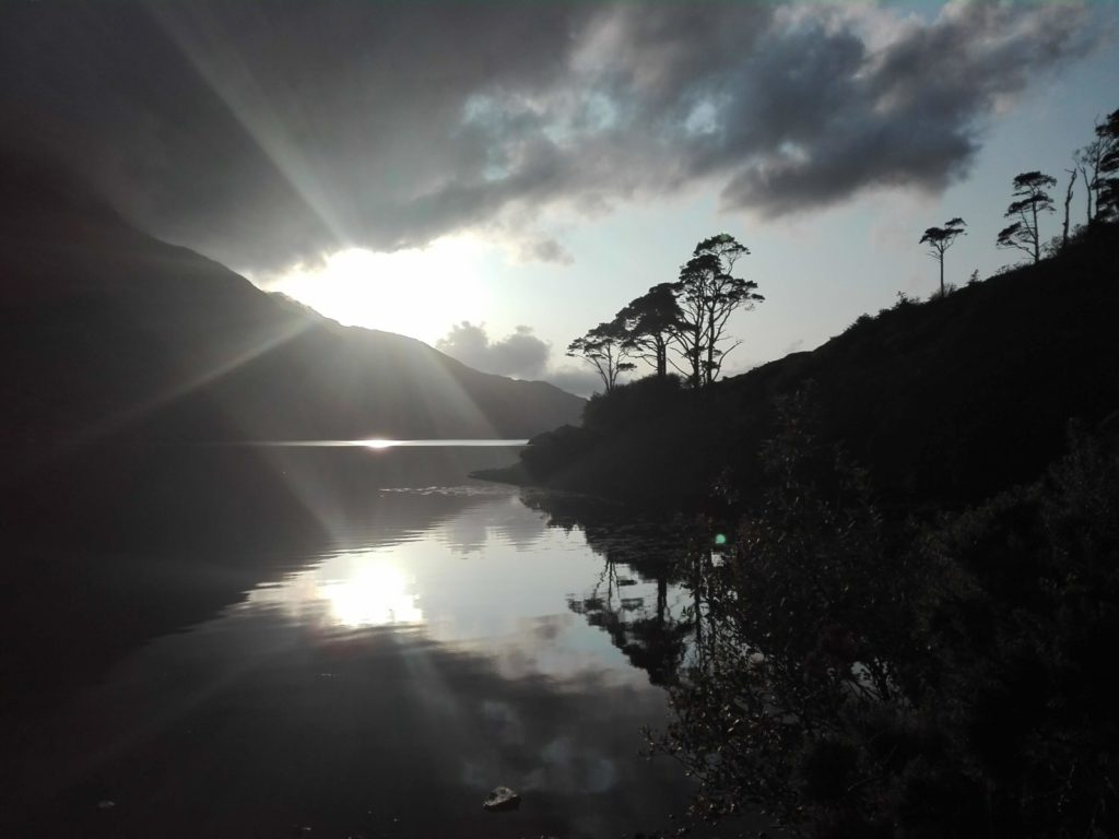
Sun peaking through the clouds at the Killary Fjord, Evelien van Dijk
It was raining on and off this day on our road trip in Ireland and here the sun was peeking through the clouds just long enough to create this back-light effect. The Killary fjord is one of the three glacial fjords in Ireland and makes for stunning scenery all along its 16 km coastline.
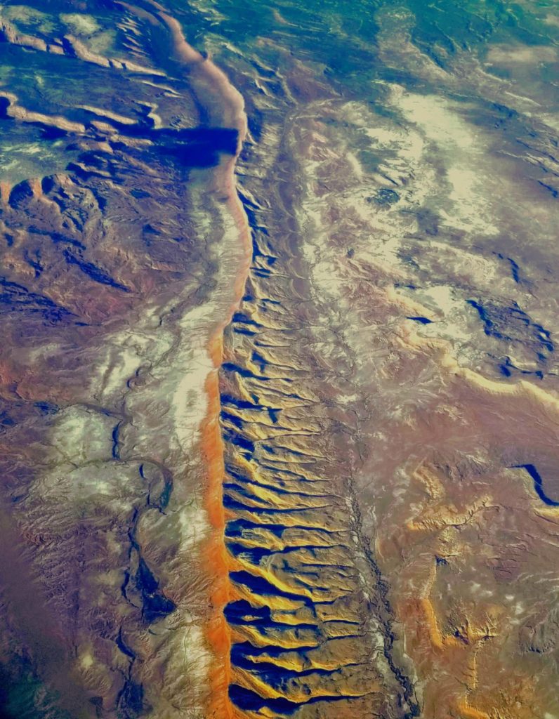
Comb through the mysteries of Comb Ridge, Utah, Siddhant Gupta
Scientists have combed through the mysteries offered by this ridge for a long time. This is an aerial image of the linear north-south ridge in South-Eastern Utah. First mapped in the late 19th century, the ridge is home to numerous Puebloan cliff dwellings and petroglyphs. It is a natural national landmark and home to the only fossils of a mammal-sized cynodonts (tritylodont) in North America!
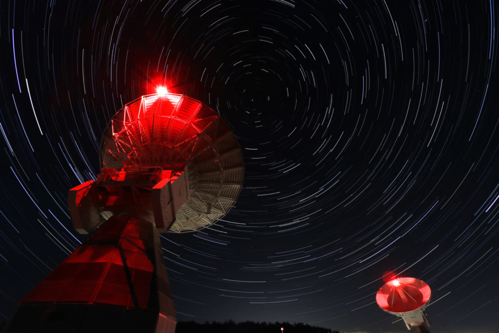
Onsala Twin Telescopes, Armin Corbin
The Onsala Twin Telescopes (OTTT) are part of the global geodetic Very Long Baseline Interferometry network (VLBI). Radio telescopes observe extra galactic radio sources simultaneously to determine Earth Orientation Parameters, source positions and station coordinates as well as velocities. Geodetic VLBI is used to maintain the International Terrestrial Reference Frame as well as the International Celestial Reference Frame. Popular results derived from geodetic VLBI are plate tectonics, nutation and precession of the Earth and the solar time UT1. The OTT was inaugurated in 2017 and is fully compatible to the VLBI Global Observing System (VGOS) . That means the telescopes can reach any point on the sky within 30 seconds and are equipped with broadband receivers. This image was created by stacking 160 individual images. The combined exposure time is 80 minutes.
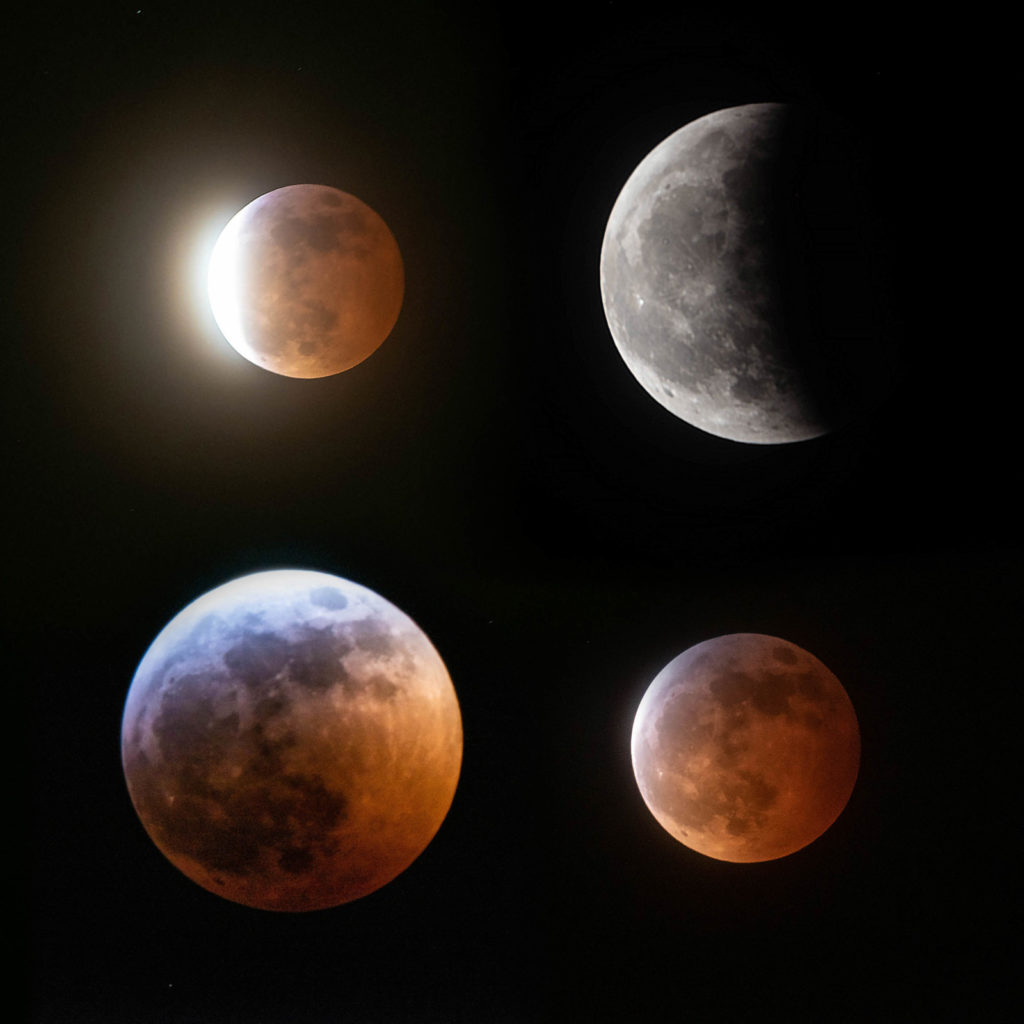
The Eclipse of 2019 – Super Blood Wolf Moon, Julia Jeworrek
It’s not every day you get to witness a ‘Super Blood Wolf Moon’ eclipse. On the night of January 20th 2019 such an event was visible from Vancouver BC and is captured here in this collage photo. A ‘super moon’ is one which occurs when the moon is nearly at its closest orbit from the Earth which makes it appear bigger and brighter, while a ‘blood moon’ is a phenomenon from the scattering of light through the earth’s atmosphere resulting in a red hue. Lastly, ‘wolf moon’ indicates that this is the first full moon of the new year. The results, as you can see, are quite beautiful and mesmerizing!
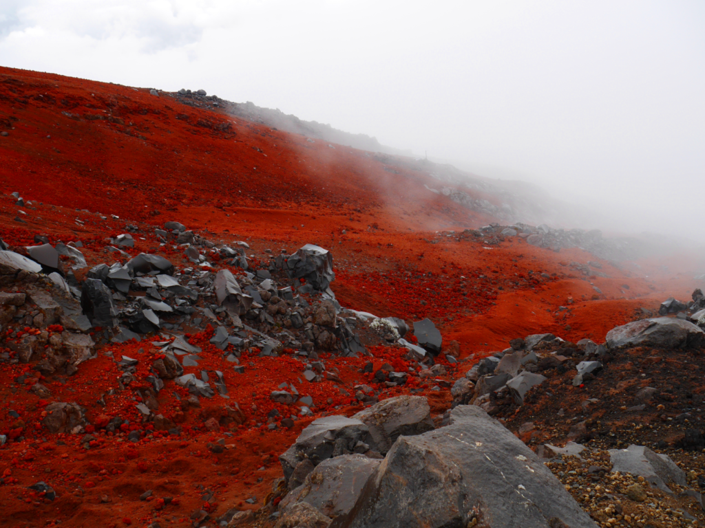
Glimpse of a foreign planet, Julia Miloczki
Cotopaxi (Ecuador) is one of the world’s highest volcanoes that are still active. Solidified lava streams from frequent eruptions have shaped the volcano and offer an intriguing interplay of red, black and white. The latter colour is given by the volcano’s glacier.
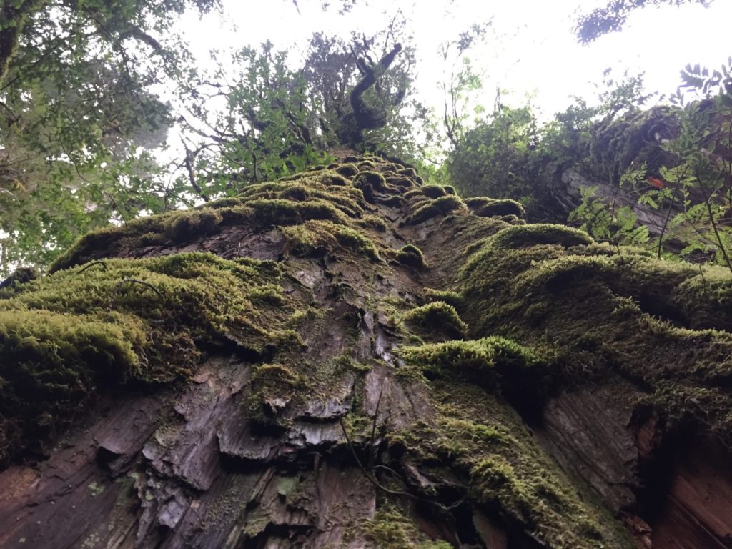
Alerce – Earth’s (almost) oldest trees, Melanie Egli
In Chile’s enchanting forests, we came across some of the oldest living trees known to humanity: Fitzroya cupressoides – better known as Patagonian cypress or Alerce trees. We could hardly believe that some of them are over 3500 years old – can you?
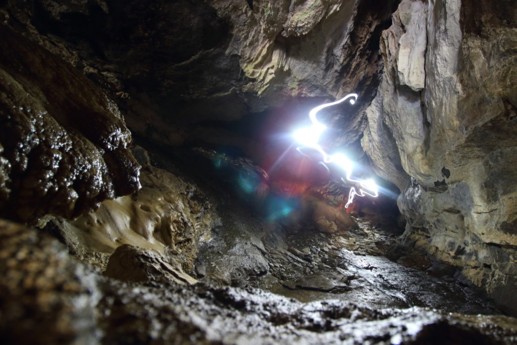
Walking light in the Luxmore Caves, Marcus Schiedung
The Luxmore Caves are right below Mt. Luxmore in the Fiordland National Park, New Zealand. They are part of the Kepler Track, one of the most famous Great Walks in New Zealand that starts at the Lake Te Ana Au (Māori for “cave of rain”) and goes to Lake Manapouri (in Māori Roto Ua for “where rain is constant”). The caves are famous for their curtain or shawl formations which appear here above the glowing headlamp. I took this photo spontaneously while I was exploring the cave and another explorer came up from deeper parts of the cave with his headlamp on. Now you just see him like a ghost walking through the cave.
Vote now and have your say on which three photos you think deserve to win!
You can also submit your own photo at anytime throughout the year. Any photos submitted between 15 January and 15 February each year will automatically be considered by the Competition’s judging panel and be in the running to win a free registration to the following EGU General Assembly.

