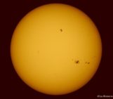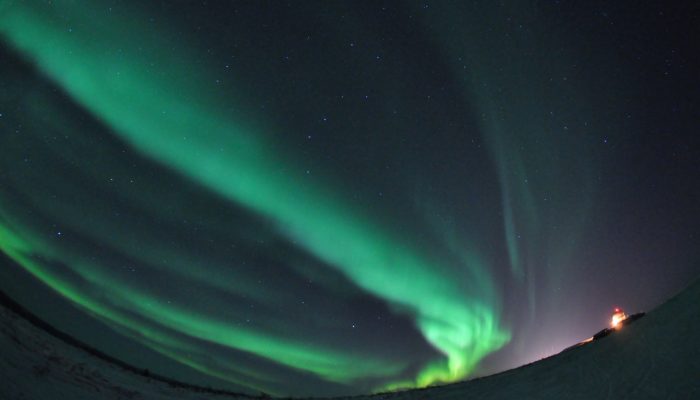
It’s a clear night, much like any other, except that billions of kilometers away the Sun has gone into overdrive and (hours earlier) hurled a mass of charged particles, including protons, electrons and atoms towards the Earth. As the electrons slam into the upper reaches of the atmosphere, the night sky explodes into a spectacular display of dancing lights: aurora.
Aurora remain shrouded in mystery, even to the scientists who’ve dedicate their lives to studying them. Photographs provide an invaluable source of data which can help understand the science behind them. But, for aurora images to be of scientific value researchers need to know when they were taken and, more importantly, where.
You’ve got to be in the right place at the right time to catch a glimpse of the elusive phenomenon. In the Northern Hemisphere, aurora season peaks in autumn through to winter. Geographically, the best chance of seeing them is at latitudes between 65 and 72 degrees – think the Nordic countries.
That is unless you are an astronaut on the International Space Station (ISS), in which case, you’ve got the best seat in the house!
The orbit of the ISS means it skims past the point at which aurora intensity is at its peak, which also happens to be the point at which they look their most spectacular. Its orbital speed means it can get an almost global-scale snapshot of an aurora, passing over the dancing lights in just under 5 minutes.
Not as much is known about Aurora Australis (those which occur in the southern hemisphere) as we do about the Northern Lights (visible in the northern hemisphere), because there are far less ground-based auroral imagers south of the equator. The ISS orbit means that astronauts photograph Aurora Australis almost as frequently as Aurora Borealis, helping to fill the gap.
Testament to the privileged viewpoint is the hoard of photographs ISS astronauts have amassed over time – perfect for scientists who study aurora to use in their research.
Time-lapse shot from the International Space Station, showing both the Aurora Borealis and Aurora Australis phenomena. Credit: NASA
Except that, until recently, the ISS photographs were of little scientific value because they aren’t georeferenced. The images are captured by astronauts in their spare time using commercial digital single lenses reflector cameras (DSLRs), which can’t pinpoint the location at which the photographs were taken – they were never intended to be used in research.
Now, researchers at the European Space Agency (ESA) have developed a method which overcomes the problem. By mapping the stars captured in each of the photographs and the timestamp on the image (as determined by the camera used to take the photograph), the team are now able to geolocated the images, giving them accurate orientation, scale and timestamp information.
Despite the success, it’s not a straightforward thing to do. One of the main problems is that the timestamps aren’t always accurate. Internal clocks in DSLRs have a tendency to drift. Over the period of a week they can be out by as much as a minute, making it difficult to establish the location of the ISS when the image was captured. This has implications when creating the star map, as the location of the station is used as a starting point.
To resolve the issue, aurora images which also include city lights can be aligned to geographical maps using reference city markers to get a timestamps accurate to within one second or less. In the absence of city lights, images which also capture the Earth’s horizon are aligned with its expected position instead. The correction works best if both city lights and the horizon can be used.
Errors are also introduced when the star maps can’t be fully resolved (due to the original image being noisy, for example) and because the method assumes that auroras originate from a single height, which isn’t true either.
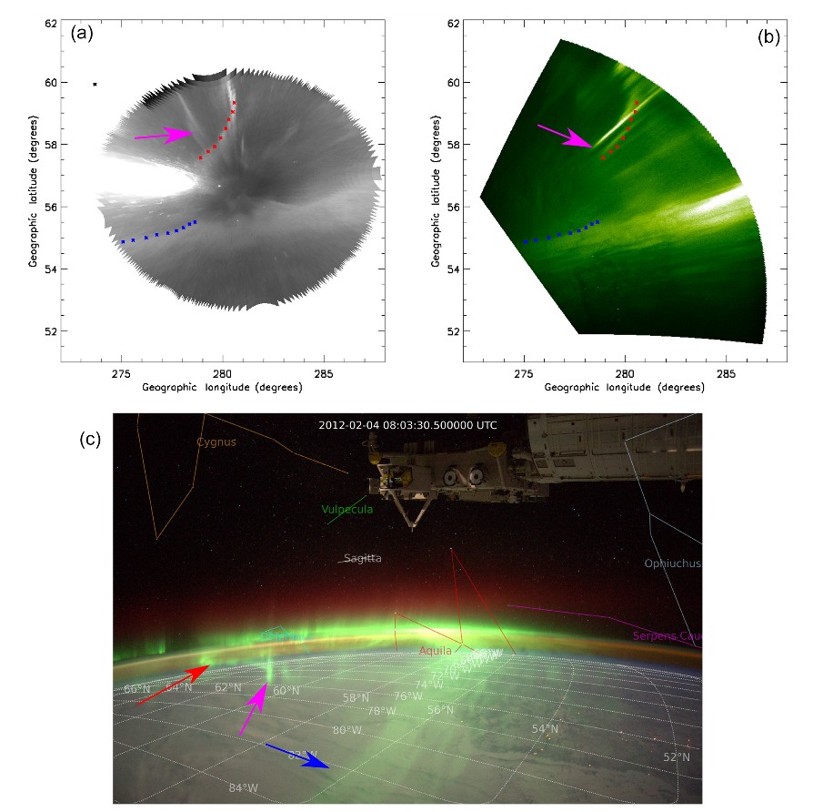
A detailed comparison between an ISS image of aurora (a) plotted and (b) the contemporaneous image acquired by the SNK THEMIS ASI [ground-based]. The original ISS image (a) is plotted in (c). For more detail see Riechert, et al., 2016.
Now, a trove of thousands of Aurora Borealis and Australis photographs can be used by researchers to decipher the secrets of one the planet Earth’s most awe-inspiring phenomenon.
By Laura Roberts Artal, EGU Communications Officer
References:
Riechert, M., Walsh, A. P., Gerst, A., and Taylor, M. G. G. T.: Automatic georeferencing of astronaut auroral photography, Geosci. Instrum. Method. Data Syst., 5, 289-304, doi:10.5194/gi-5-289-2016, 2016.
Automatic georeferencing of astronaut auroral photography: http://www.cosmos.esa.int/web/arrrgh
The research was accomplished using only free and open-source software. All the images processed to date are made freely available at htttp://cosmos.esa.int/arrgh, as is the software needed to produce them.

