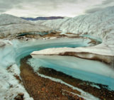
Much of the Mendenhall River Basin is glaciated; indeed, the river flows out from under a glacier in the northern part of the valley and into a lake. This glacier, rather aptly, is known as Mendenhall Glacier, a 19 km long lake-calving monster in Alaska, USA. Meltwater from this glacier makes up the primary source of water for Mendenhall River, although several creeks also contribute to the flow, namely the Nugget Steep and Montana Creeks, further upstream.
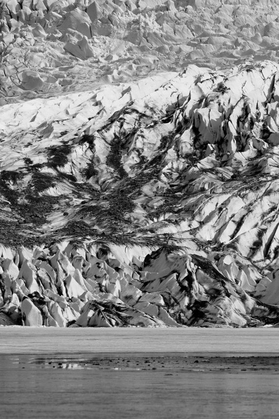
“Mendenhall Glacier” by Daniele Penna, distributed by the EGU under a Creative Commons licence.
Both of these have their own glaciers associated with them, but their flow is dominantly controlled by rainwater. In contrast, flow the Mendenhall River is controlled by melting processes in the glacier. This means that the river flow is strongly influenced by temperature (as it influences the amount of meltwater unleashed). River flow peaks in late summer, when heavy rains and high temperatures combine to cause greater melting of the glacier.
As the climate warms, the amount of meltwater supplying the river is expected to increase. The photographer, Daniele Penna, notes that “like many glaciers in the world, Mendenhall Glacier is currently experiencing a negative mass balance and it will likely continue to retreat in the near future”. In the 20th century alone the terminus has retreated by 3km.
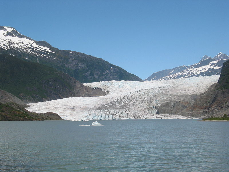
Where the glacier meets the water. (Credit: Stephen Kellam)
References:
Neal, E.G. and Host, R.H. Hydrology, Geomorphology, and Flood Profiles of the Mendenhall River, Juneau, Alaska. USGS Water-Resources Investigations Report 99-4150 (1999).
Motyka, R.J. et al. Twentieth century thinning of Mendenhall Glacier, Alaska, and its relationship to climate, lake calving, and glacier run-off. Global and Planetary Change (35), 93-112 (2003).
Imaggeo is the EGU’s online open access geosciences image repository. All geoscientists (and others) can submit their images to this repository and since it is open access, these photos can be used by scientists for their presentations or publications as well as by the press and public for educational purposes and otherwise. If you submit your images to Imaggeo, you retain full rights of use, since they are licensed and distributed by the EGU under a Creative Commons licence.