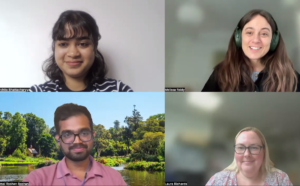
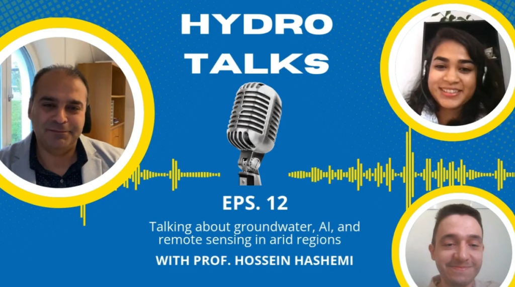
For this month’s episode of HydroTalks, we’re thrilled to welcome Dr. Hossein Hashemi, an associate professor in the Division of Water Resources Engineering at Lund University in Sweden and a member of the Center for Advanced Middle Eastern Studies. His research focuses on groundwater and surface water management in arid and water-scarce regions, combining remote sensing, artificial intelligence and climate analysis.
You can check out the podcast below or read the interview summary in this blog!
Click here to watch the full episode
What is your current research focus, and what got you interested in this field?
Our team focuses on groundwater monitoring, evaluation and management, mainly using satellite remote sensing and AI. Groundwater is the major source of agricultural irrigation in many parts of the world, especially the Middle East, and it underpins global food security. But it is invisible, so in many areas we can’t manage it properly. At Lund University, we develop techniques to observe it first.
How can remote sensing be used to monitor something that is underground?
Satellites can’t observe groundwater directly, so our measurement is indirect. Think of an aquifer as a sponge: recharge makes it expand, which shows up at the surface as a small uplift, and pumping makes it compact, causing subsidence. Satellites measure these ground movements down to the millimetre, and we correlate them with groundwater level changes.
How does remote sensing complement field observations and ground-based data, and vice versa?
Satellite data aren’t a replacement for ground measurements; they complement each other. Satellites observe from far away, so their data carry noise and biases that need validating with ground measurements. Ground measurements are accurate but only at a point. So we use wells as anchors, combine them with satellite data to fill in between, and increasingly use AI for that filling.
How large is the error of a satellite estimate compared with a ground-based measurement?
There are several sources of error: atmospheric noise, satellite measurement noise, and processing errors, etc., when raw satellite data are turned into usable numbers or images. But validating against ground measurements at specific points is enough, provided we have a time series of ground data, to bias-adjust the satellite data.
What can AI reveal that traditional hydrological monitoring and modelling cannot?
I don’t completely agree with the premise. Twenty years ago, AI was held back by data hunger and a lack of computing power. Over the last five to ten years, we’ve gained abundant satellite, reanalysis and ground data, plus high-performance computing. AI won’t replace hydrological models, but it complements them. The concern is that AI is often a black box, so we need explainable AI.
What is managed aquifer recharge, and what are the main obstacles to its widespread adoption?
Recharge is natural, from rainfall and riverbeds, or artificial. Natural recharge through river channels and wadis is limited because flash floods run off quickly. In managed aquifer recharge, we divert part of that water, spread or collect it over infiltration areas, and let it seep into the aquifer. It reduces flood damage, improves soil moisture and irrigates crops. The main obstacle is that recharged groundwater is invisible, so its efficiency is hard to show to policymakers.
How does climate change affect people’s interaction with water?
Climate models largely agree that the Middle East and North Africa will become warmer and drier. Rainfall there is about a third of the world average, and evapotranspiration is about three times the global average. Around 80% of rainfall is lost through evapotranspiration, and the remaining 20% could fall by 10 to 15%. A major social impact will be inequality, as scarce water ends up in the hands of some and is inaccessible to others.
How do infrastructure, technology and governance build groundwater resilience?
Physical water scarcity means there isn’t enough water for a community, as in much of the arid Middle East. Economic water scarcity means water exists but lacks infrastructure, economic strength or expertise. Some countries in the Middle East overcame physical scarcity through desalination for drinking water. Researchers can propose solutions, but policymakers must decide which are implementable, so communicating our science to them is key.
What was the biggest breakthrough, and what trend lies ahead?
My personal opinion is that the biggest breakthrough has been satellite remote sensing combined with AI in hydrology, enabled by large environmental datasets, high computing power and advanced algorithms. The key trend ahead is making AI physically explainable, combining physical meaning and constraints with AI. I’m confident that will arrive in the near future.
What is the best and the worst piece of career advice you have ever received?
When I started my PhD here at Lund, a senior colleague told me we have access to everything needed to do the best research. The rest is up to you: whether to become an outstanding graduate who contributes to hydrology, or just meet the minimum requirements. I took that seriously. I’d caution against chasing quantity of publications; quality comes first, and quantity follows. Research should contribute to society.