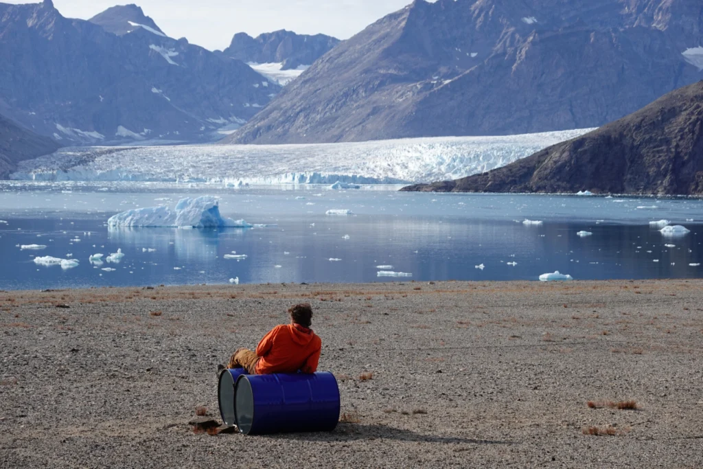
Greenland, the world’s largest island, has one of the most challenging environments for geodetic measurements. Maintaining GNSS (Global Navigation Satellite Systems) stations here isn’t just about precision – it’s about ensuring data continuity in an area that’s constantly moving. This is the behind-the-scenes story of a 15,000 km journey around Greenland: five weeks of …[Read More]
field work
Geodesists on Tour: Taking Greta Gravimeter to the North
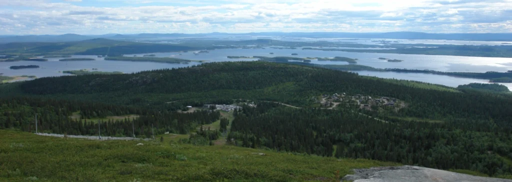
Summer is coming to an end in the northern hemisphere, and it usually signals the end of the field season – at least in northern Europe. During the field season, we mostly take our absolute gravimeter (we call her Greta) to measure gravity at various locations across Sweden. Occasionally, we even take Greta to other …[Read More]
Around the world with Professor Vening Meinesz onboard the submarine K-XVIII: The Origin of Flexure Modelling
In my previous blog post, I wrote about the famous voyage of Professor Vening Meinesz aboard the submarine K-XVIII. At 30 meters underneath the surface, Vening Meinesz would observe the gravity field of Earth with a pendulum apparatus called the Golden Calf. In this post, I would like to discuss a different voyage the professor …[Read More]
Geodesists on Tour: On a Campaign in the Arctic with a Giraf(f)e in the Aircraft
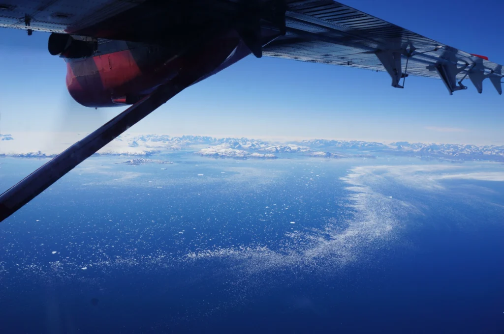
Way too early on a Saturday morning in late June 2023 I woke up and started my travel to a small airport in Akureyri, North-East Iceland. This is the location of an Icelandic charter company called Norlandair that we used for our airborne geophysical surveys and logistic operations in the Arctic. For a few months …[Read More]
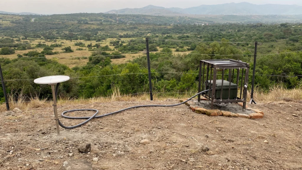
Geodesists on Tour: GNSS measurements in East Africa
Africa hosts the world’s most extensive subaerial rift system on Earth known as the East African Rift System (EARS). It stretches over 5000 km from the Red Sea and Gulf of Aden intersection in the north to the Southwest Indian Spreading Ridge south of South Africa. East-West, the EARS spans the eastern border of …[Read More]
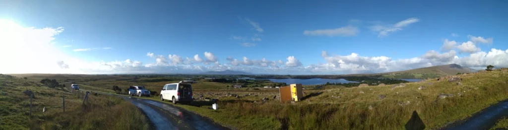
Geodesists on Tour: On the left side of the road for getting the g
Getting the small g (the absolute gravity value) outdoors has always been some sort of a challenge. But, in the early 2000s the possibility to measure gravity has changed by the arrival of the first A10 absolute gravimeters. They to a large extent revolutionized the approach of performing gravity measurements in the open field and …[Read More]
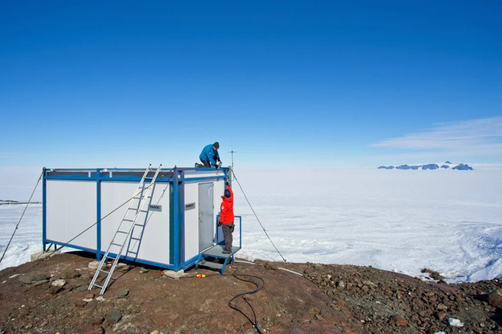
Geodesists on Tour: GPS measurements on Antarctica
Stories from the field – how exactly are those GPS data collected? The geodesy community at large benefits from the many science projects with open data policies. A user simply has to navigate to a data portal, download the data, and within a matter of moments a world of possibilities opens up for potential …[Read More]
Geodesists on Tour: Gravity measurements on Antarctica
Antarctica is well known for its large ice sheet, covering 98% of the continent. A large part of the ice sheet is losing mass leading to vertical and horizontal movements of the crust as well as changes of the gravitational attraction. To observe these changes in gravity with the highest accuracy, it is necessary …[Read More]