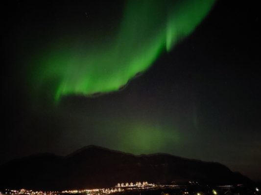
Those of us fortunate to participate in cryo-fieldwork are well aware of the unique, hilarious, and sometimes bizarre scenarios that we often find ourselves in. For this year’s April Fool’s Day, the EGU Cryosphere Blog team shares crazy anecdotes, with a catch: one of these stories is fake! Are you able to tell fact from fiction? Fill in the (twitter) poll, and time will tell if you are right…!! W ...[Read More]
Icy fieldwork: real or April Fool’s?
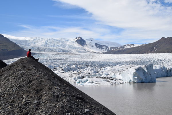
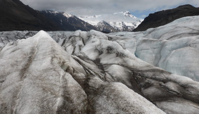
Photo credit: Katja Laute (distributed via imaggeo.egu.eu)