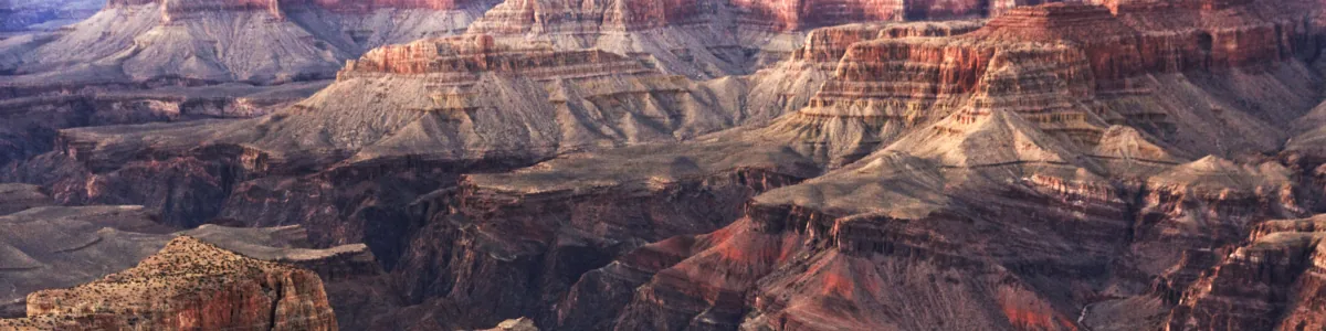
Detail of a photo: Maze of layered canyon walls and buttes in bands of red, cream and grey, receding into the distance in soft evening light.
GeoLog

GeoLog

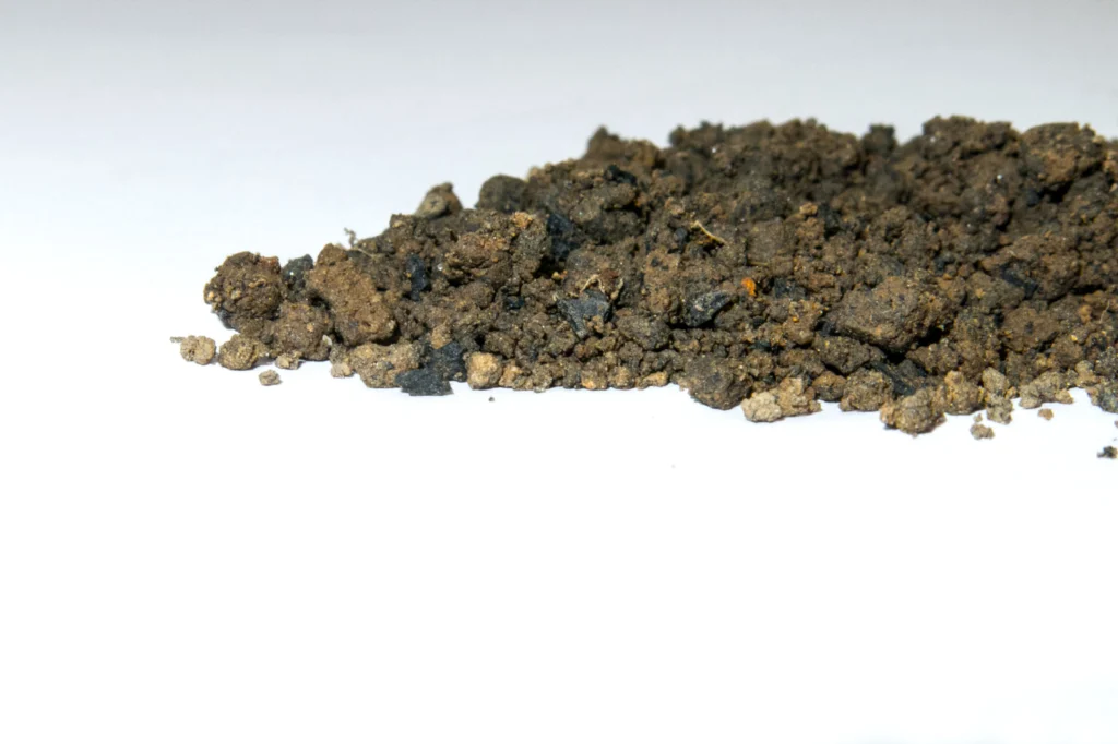
Imaggeo On Monday: Carbon-sink
Imaggeo On Monday: Carbon-sink

Biochar is a carbon rich product of biomass pyrolysis, a process where biological material is exposed to high temperatures, in the absence of oxygen, to cause the decomposition of that material into various chemical and physical components. By going through this process, biochar can be a valuable soil additive and a carbon sink with a …[Read More]

Marie Tharp: an inspiration for the past, present and future!

Marie Tharp: an inspiration for the past, present and future!

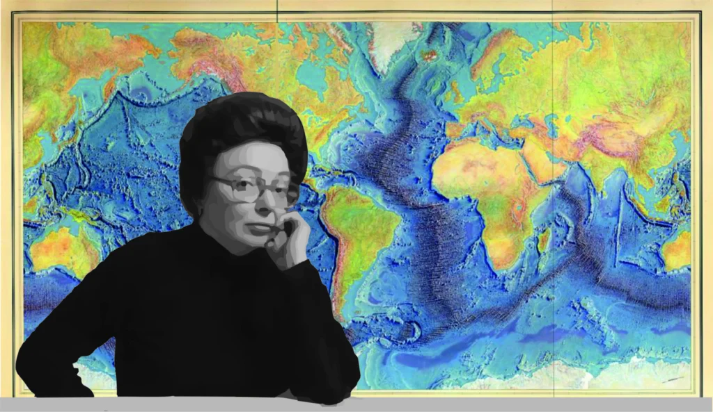
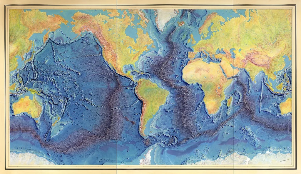
Today marks the centennial of the birth of Marie Tharp, the person responsible for creating the first map of our planet’s ocean floors. Though her work was underappreciated at the time of its publication – mainly because she faced many significant barriers due to her gender – her maps ended up being instrumental evidence in …[Read More]

Imaggeo On Monday: Sunset in the Arabian basin

Imaggeo On Monday: Sunset in the Arabian basin

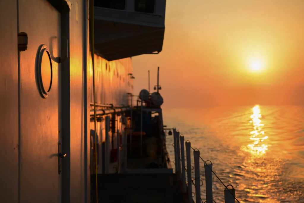
We know the topography of the moon better than the Earth’s seafloor, so we need to keep studying the ocean, and, for me, going to sea is the best way.   Only twenty percent of the seafloor is already mapped (see the Seabed 2030 Project), leaving eighty percent of our ocean unmapped, unobserved, and unexplored. …[Read More]

Imaggeo On Monday: Watercolors- Nature’s talent

Imaggeo On Monday: Watercolors- Nature’s talent

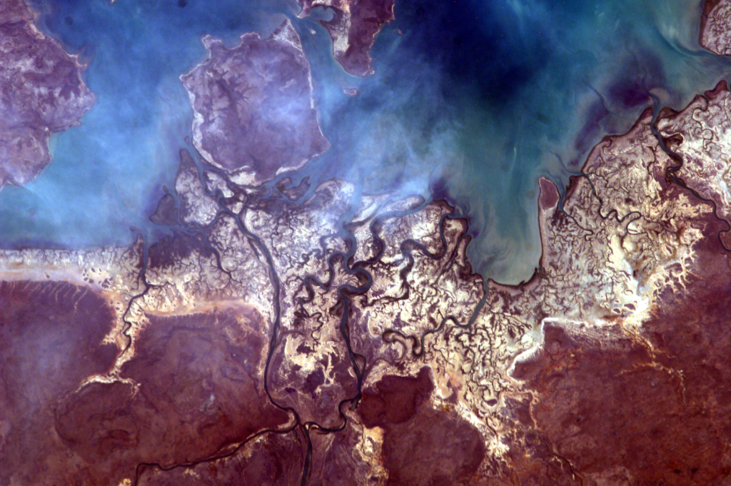
The photo was taken from the International Space Station (ISS), approx. 400 km above the Earth, in the educational project administered by NASA: Sally Ride EarthKAM, Mission 59, November 2017. The image was requested by a team of students from my college, coordinated by me. Even though we weren’t there, on ISS, to trigger the …[Read More]

Imaggeo On Monday: Geoscientific selfie at the Dead Sea

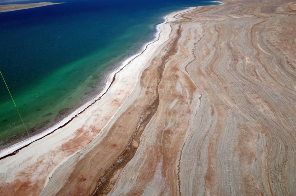
Imaggeo On Monday: Geoscientific selfie at the Dead Sea

This is an aerial image taken from a balloon at around 150m height, at the eastern shoreline of the Dead Sea. Such “selfies” are scientifically valuable, providing important data that help researchers to analyze the morphology of the retreating lake and investigate associated hazards like sinkholes, subsidence and landslides. The older shorelines, visible as lines …[Read More]