GeoLog

Regular Features

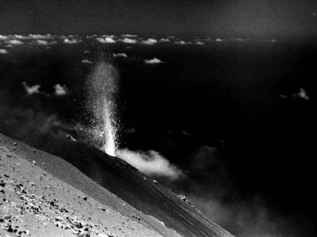
Imaggeo on Mondays: Strombolian eruption

Imaggeo on Mondays: Strombolian eruption

Jonas Kuhn, a researcher at Heidelberg University , took the photograph during a field campaign at Stromboli volcano in Italy. The objective of this campaign was to gather data from different gaseous compounds of the volcanic plume. Via emission fluxes of volcanic gases (e.g. SO2, CO2, halogen compounds…) or the ratio of emitted gases, one can retrieve information about the interior of the v ...[Read More]

Geosciences Column: When water is scarce, understanding how we can save it is important

Geosciences Column: When water is scarce, understanding how we can save it is important

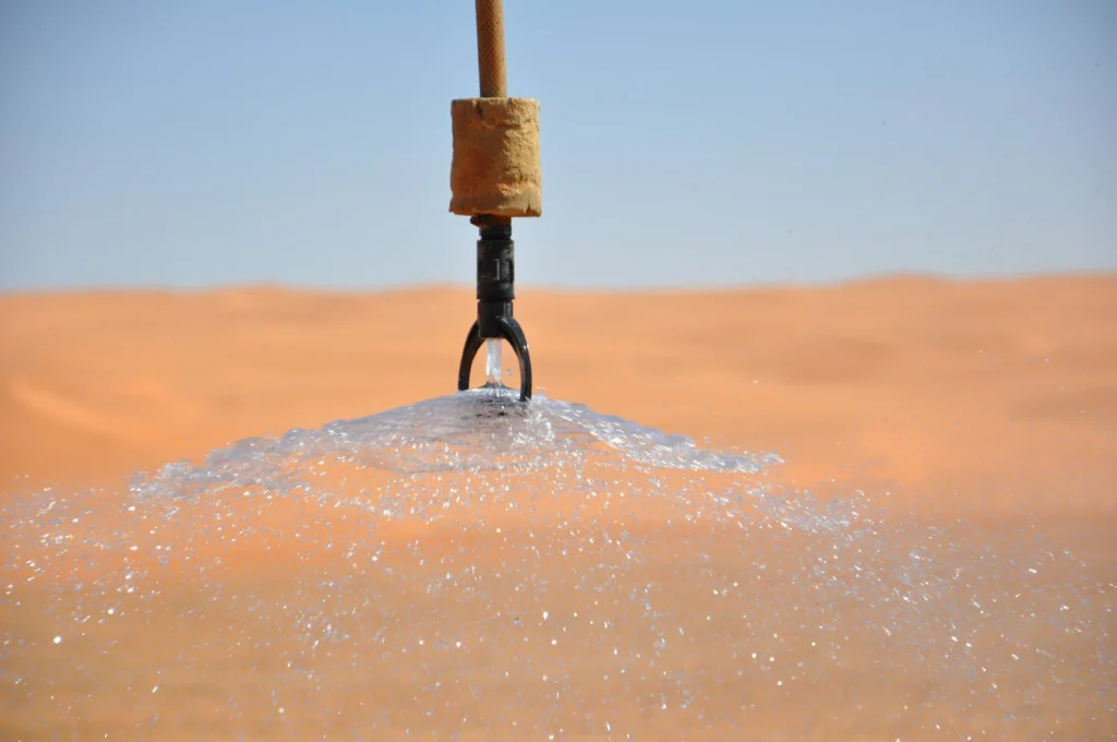
Supplies of water on Earth are running dry. The rate at which an ever growing population consumes this precious resource is not matched by our Planet’s ability to replenish it. Water scarcity is proving a problem globally, with regions such as California and Brazil facing some of the most severe water shortages on record. Used for drinking, agriculture and industrial processes, water forms an fund ...[Read More]

Imaggeo on Mondays: The place where water runs through rocks

Imaggeo on Mondays: The place where water runs through rocks

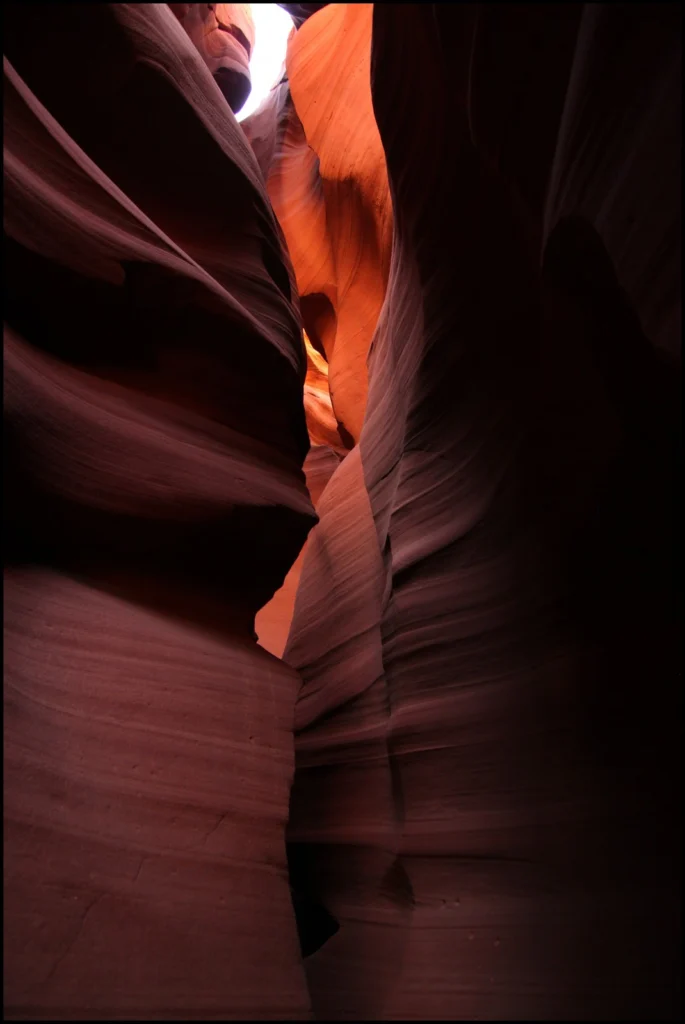
Antelope Canyon, located in Arizona, USA, was formed by erosion of the Navajo Sandstone, primarily due to flash flooding and secondarily due to other sub-aerial processes (think of physical weathering processes such as freeze-thaw weathering exfoliation and salt crystallisation). Rainwater runs into the extensive basin above the slot canyon sections, picking up speed and sand as it rushes into the ...[Read More]

Imaggeo on Mondays: Late Holocene Fever

Imaggeo on Mondays: Late Holocene Fever

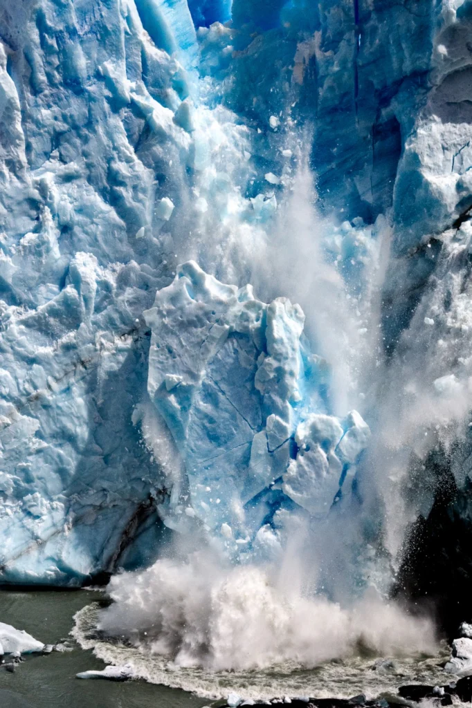
A huge ice fall off the Perito Moreno glacier in the Los Glaciares National Park, southwest Santa Cruz Province, Argentina, was voted one of the three best pictures entered into the EGU’s annual photo contest, by the conference participants at the 2015 General Assembly. Perito Moreno glacier is one of 48 glaciers feeding into the Southern Patagonia ice field, which combined with the Northern Patag ...[Read More]

GeoEd: Social Communications

GeoEd: Social Communications

We all know that social media is an excellent way in which we can communicate our research (and indeed our rants, dreams, and favourite cat pictures) to the general public, but can we also use it to communicate our research in the classroom? From kindergarten to higher education, social media can be a fantastic learning tool, which can help to open up digital windows into the world of geosciences. ...[Read More]

Imaggeo on Mondays: Sunset over the Labrador Sea

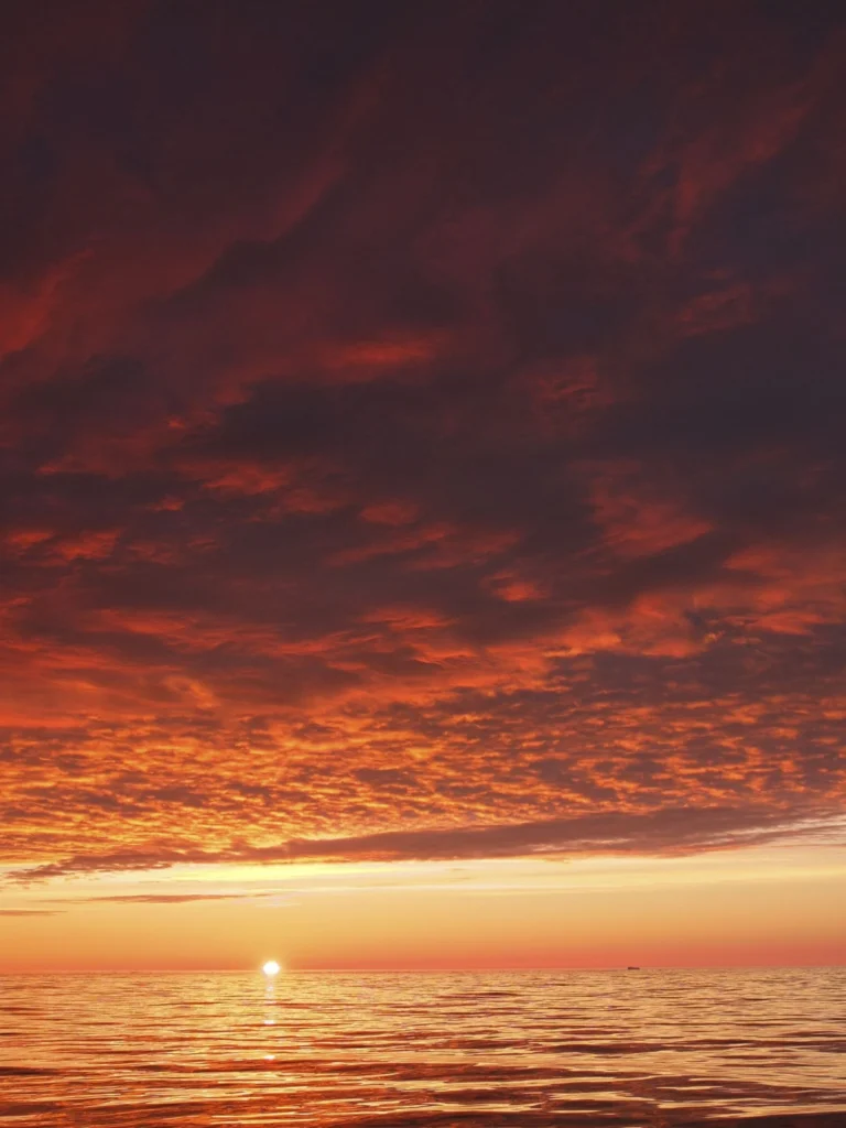
Ruby skies and calm waters are the backdrop for this week’s Imaggeo image – one of the ten finalist images in this year’s EGU Photo contest. “I took the picture while on a scientific cruise in West Greenland in 2013,” explains Christof Pearce, a postdoctoral researcher at Stockholm University. “We spent most of the time inside the fjord systems around the Greenland capital, Nuuk, but this specific ...[Read More]

GeoTalk: Meet Andi Rudersdorf, winner of I’m a Geoscientist 2015!

GeoTalk: Meet Andi Rudersdorf, winner of I’m a Geoscientist 2015!

Earlier this year we ran the second I’m a Geoscientist event, an online chat-based game show in which school kids vote for their favourite geoscience communicators. In this week’s GeoTalk, Laura Roberts  talks to Andi Rudersdorf, a neotectonics PhD student and winner of this year’s I’m a Geoscientist… First, for those who didn’t been following I’m a Geoscientist, can you tell us a little about you ...[Read More]

Imaggeo on Mondays: A voyage through scales – The Badlands National Park, South Dakota.

Imaggeo on Mondays: A voyage through scales – The Badlands National Park, South Dakota.

Layer upon layer of sand, clay and silt, cemented together over time to form the sedimentary units of the Badlands National Park in South Dakota, USA. The sediments, delivered by rivers and streams that criss-crossed the landscape, accumulated over a period of millions of years, ranging from the late Cretaceous Period (67 to 75 million years ago) throughout to the Oligocene Epoch (26 to 34 million ...[Read More]

Imaggeo on Mondays: Just Passing

Imaggeo on Mondays: Just Passing

If lucky enough to visit Ilulissat Icefjord, you’d find yourself in a truly ancient landscape. From the up to 3.9 billion year old Precambrian rocks, to ice dating back to the Quaternary Ice Age (2.6 thousand years old) and archaeological remains which evidence the past settlement of this remote Greenlandic outpost, it’s no surprise this stunning location has been declared a UNESCO world heritage ...[Read More]

Imaggeo on Mondays: Seeing the world through a pothole

Imaggeo on Mondays: Seeing the world through a pothole

A beautiful image of a forest reflected in a pool of water within a pothole in southern Finland is this Monday’s Imaggeo image and it brought to you by Mira Tammelin, a Finish researcher. The photo illustrates a pothole in the Askola pothole area in southern Finland. The pothole area is situated on the steep slopes next to river Porvoonjoki, approximately 70 kilometers to the northeast from ...[Read More]