GeoLog

Imaggeo on Mondays

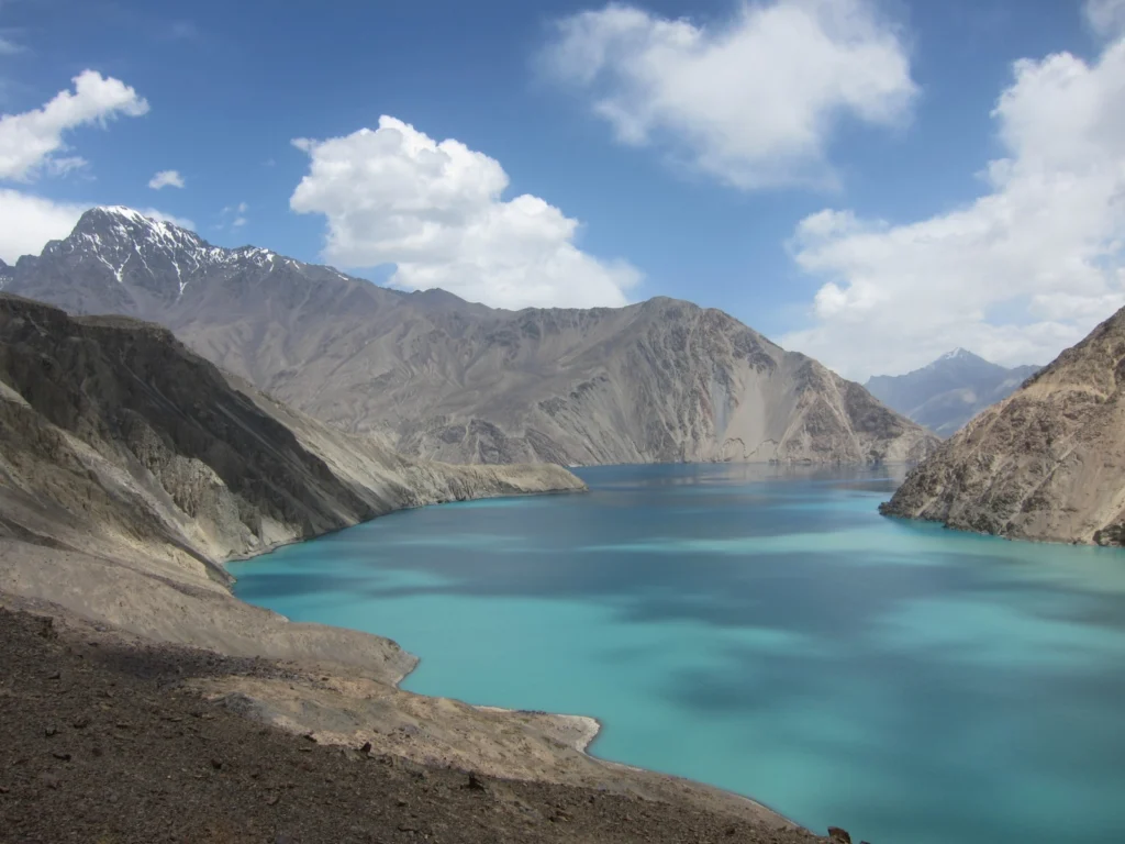
Imaggeo on Mondays: Earthquake Lake
Imaggeo on Mondays: Earthquake Lake
Despite its alluring turquoise waters and rugged mountain backdrop the story behind this beautiful lake is rather more troubling. In today’s Imaggeo on Mondays, the first post since our short break from the traditional format during the General Assembly, Alexander Osadchiev writes about the shaky origins of Sarez Lake. Lake Sarez is situated in Tajikistan, deep in the Pamir Mountains. In 1911 a lo ...[Read More]

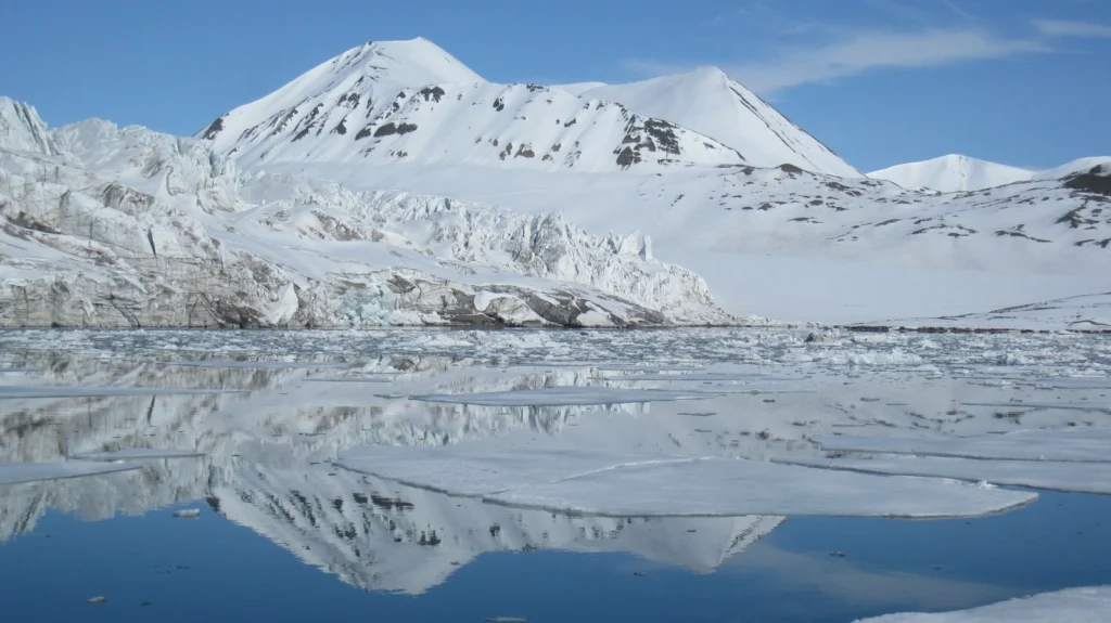
Imaggeo on Mondays: Mirror Image

Imaggeo on Mondays: Mirror Image

This week’s Imaggeo on Mondays image is brought to you by Fabien Darrouzet, who visited the icy landscapes of Svalbard back in 2012. Whilst the aim of his trip was not to better understand the geology of the landscapes, his eyes were very much focused on goings on up, up in the sky, it didn’t stop him taking this still of the snow covered peaks. This picture was taken in Svalbard (78° lat.) in Jun ...[Read More]

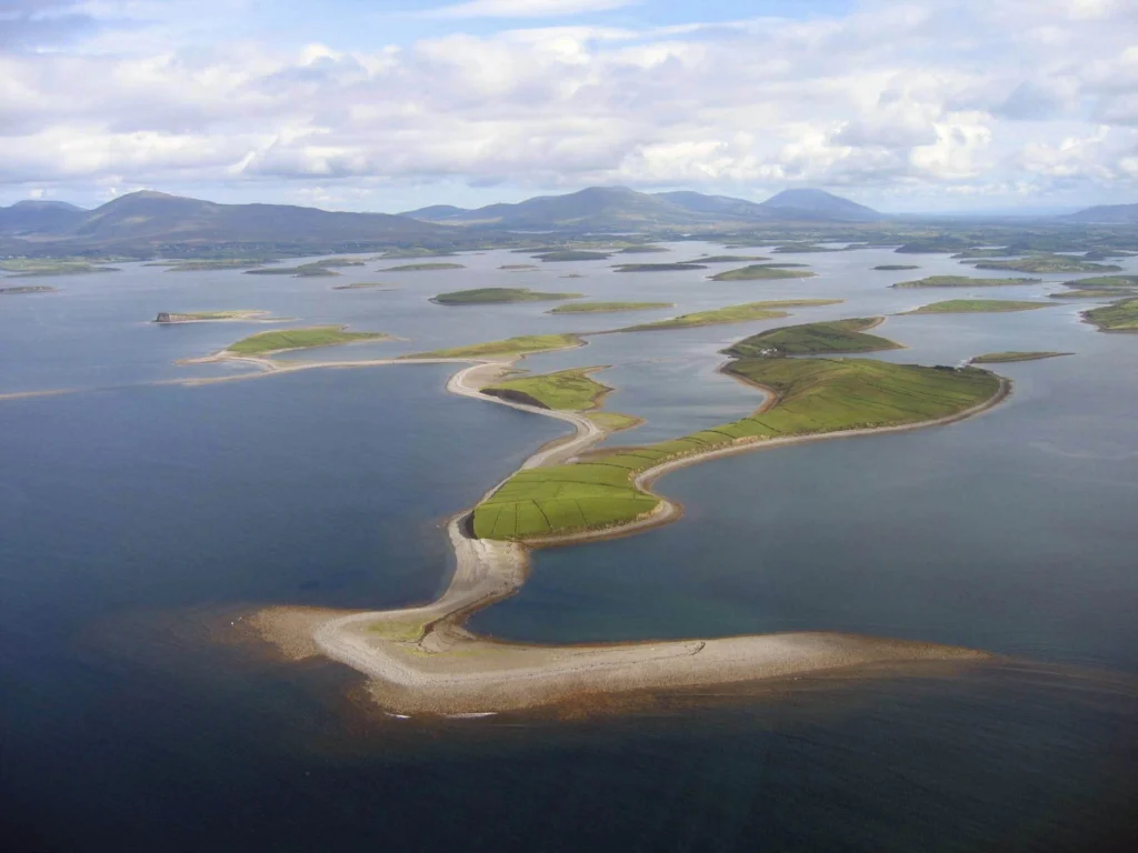
Imaggeo on Mondays: Drumlins Clew Bay

Imaggeo on Mondays: Drumlins Clew Bay

During ice ages landscapes are sculpted by the power of advancing glaciers. From rock scratches, to changing mountains and the formation of corries, cirques and aretes, through to the formation of valleys and fjords, the effects of past glaciations are evident across the northern hemisphere landscape. Perhaps not so familiar, drumlin fields are also vestiges of the erosive power of ancient ice she ...[Read More]

Imaggeo on Mondays: Escullos

Imaggeo on Mondays: Escullos

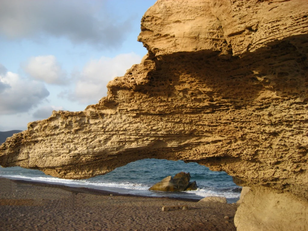
This picture shows a Quaternary aeolianite fossil dune at the Escullos beach, in the Nature Reserve of Cabo de Gata (Almeria, Spain). Originally a soft accumulation of sand grains, shaped by the wind into large mounds and ridges, the dunes eventually turn into rock. As the sediments compact under their own pressure and expel any moisture and fluids retained within them, they become lithified and b ...[Read More]

Imaggeo on Mondays: Retreating Glacier

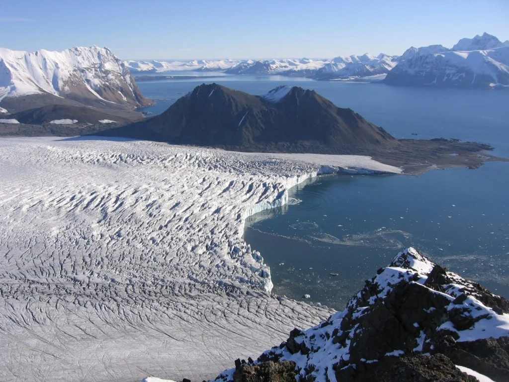
The Svalbard archipelago is considered to be one of the best places to study the geological history of the Earth because its rocks represent every geological period. This image shows a view from the peak of Fugleberget (569 m a. s. l.; 77º 00’ N, 15º 30’ E) on the south-western coast of the island of Spitsbergen. Glaciation of this geologically diverse area gave rise to a variety of geomorphic fea ...[Read More]

Imaggeo on Mondays: Pyroclastic flow, Montserrat

Below the warm and tranquil waters of the Caribbean, some 480 km away from Puerto Rico, the North America Plate is being subducted under the Caribbean Plate. This has led to the formation of the Lesser Antilles volcanic arc; the result of the formation of reservoirs of magma as fluids from the down going North America Plate are mixed with the rocks of the overlying Caribbean Plate. The continued m ...[Read More]

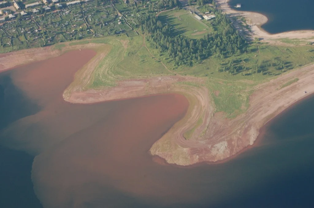
Imaggeo on Mondays: The largest fresh water lake in world

Most lakes in the Northern hemisphere are formed through the erosive power of glaciers during the last Ice Age; but not all. Lake Baikal is pretty unique. For starters, it is the deepest fresh water lake in the world. This means it is the largest by volume too, holding a whopping 23,615.39 cubic kilometres of water. Its surface area isn’t quite so impressive, as it ranks as the 7th largest in the ...[Read More]

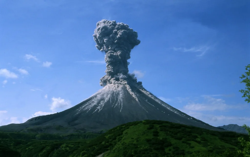
Imaggeo on Mondays: An explosive cloud

Imaggeo on Mondays: An explosive cloud

One of the world’s most volcanically active regions is the Kamchatka Peninsula in eastern Russia. It is the subduction of the Pacific Plate under the Okhotsk microplate (belonging to the large North America Plate) which drives the volcanic and seismic hazard in this remote area. The surface expression of the subduction zone is the 2100 km long Kuril-Kamchatka volcanic arc: a chain of volcanic isla ...[Read More]

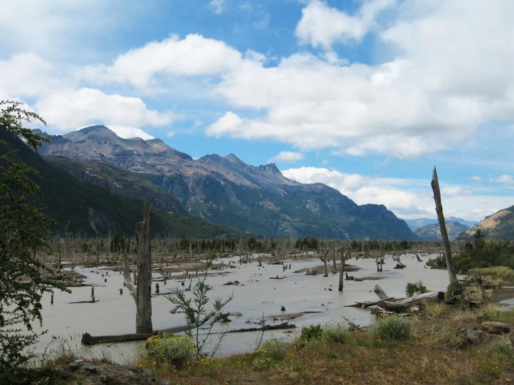
Imaggeo on Mondays: A Patagonia landscape dominated by volcanoes

Imagine a torrent of hot and cold water, laden with rock fragments, ash and other debris hurtling down a river valley: this is a lahar. A by-product of eruptions of tall, steep-sided stratovolcanoes, lahars, are often triggered by the quick melting of snow caps and glaciers atop high volcanic peaks. The history of the Ibañes River and its valley, in southern Chile, are dominated by their proximity ...[Read More]

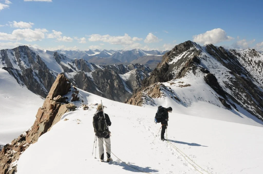
Imaggeo on Mondays: High altitude glacier monitoring

What a place to work: Spectacular views from the top of the rugged and icy peaks of Tien Shan mountain range. The desire to better understanding global climate change took Leo Sold to this remote area of Central Asia. The frozen slopes of ice and snow in today’s Imaggeo on Mondays photograph hold some of the keys to understanding how the glaciers in this remote region are being affected by a warmi ...[Read More]