GeoLog

Imaggeo

My film is ready, now what?

My film is ready, now what?

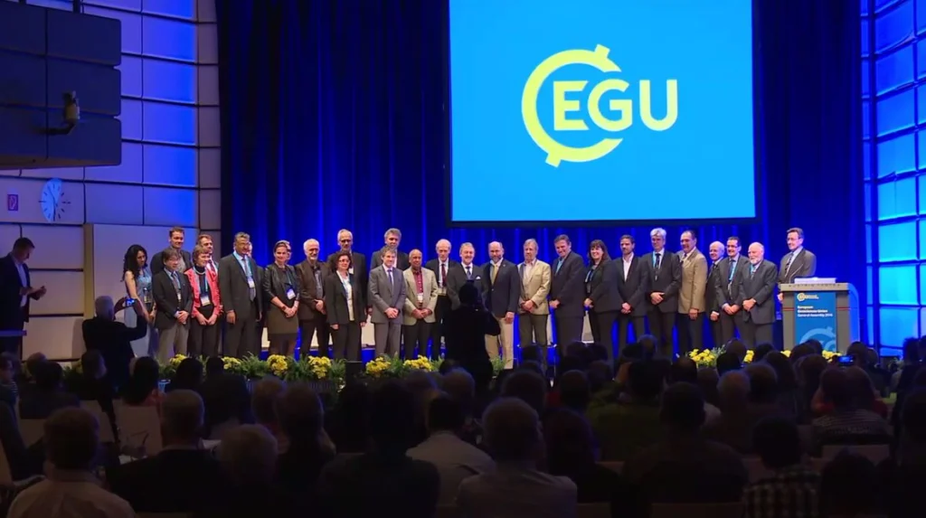
It’s no secret that at EGU we believe using film as a medium to communicate science and engage the public with research is a great tool! So much so that we organise an annual competition for early career scientists (ECS) to produce a three-minute video to share their research with the general public, as well as publishing film how-to-guides on our blog and organising film-making workshops at our G ...[Read More]

Imaggeo on Mondays: Rock glaciers

Imaggeo on Mondays: Rock glaciers

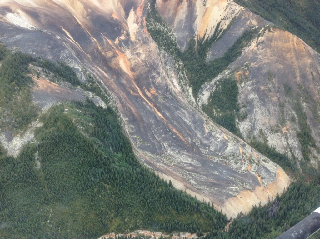
Picture a glacier and you probably imagine a vast, dense mass of slow moving ice; the likes of which you’d expect to see atop the planet’s high peaks and at high latitudes. Now, what if not all glaciers look like that? Take some ice, mix in some rock, snow and maybe a little mud and the result is a rock glacier. Unlike ice glaciers (the ones we are most familiar with), rock glaciers have very litt ...[Read More]

Geosciences Column: The World’s soils are under threat

Geosciences Column: The World’s soils are under threat

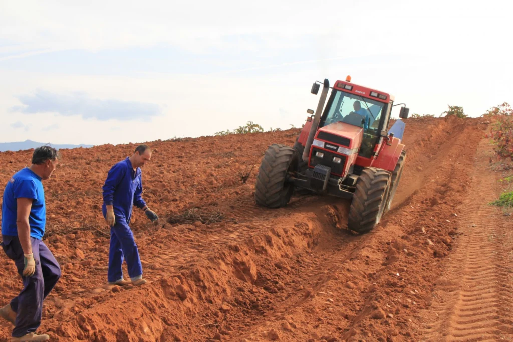
An increasing global population means that we are more dependant than ever on soils. Soils are crucial to securing our future supplies of water, food, as well as aiding adaptation to climate change and sustaining the planet’s biosphere; yet with the decrease in human labour dedicated to working the land, never have we been more out of touch with the vital importance of this natural resource. Now, ...[Read More]

Imaggeo on Mondays: an impressive testimony to the collision between Africa and Europe

Imaggeo on Mondays: an impressive testimony to the collision between Africa and Europe

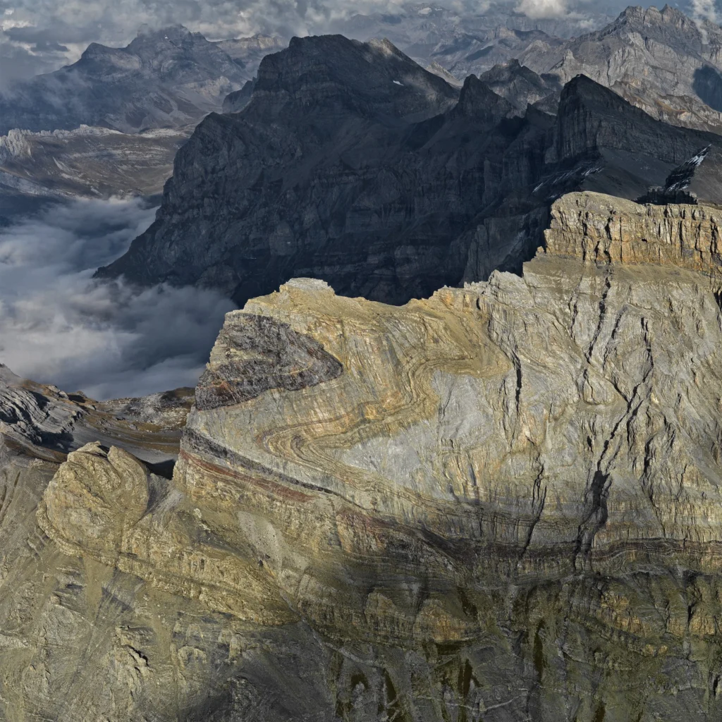
The huge fold in the flank of the 2969 m high Dent de Morcles (in Waadtland Alps, Switzerland) is an impressive testimony to the collision between Africa and Europe (which began some 65 million years ago). The layers, originally deposited on the sea floor in a horizontal position, were compressed and shifted. The darker parts developed during the Tertiary period (66 million years ago). They are yo ...[Read More]

Imaggeo on Mondays: The glacial landscape of Yosemite

Imaggeo on Mondays: The glacial landscape of Yosemite

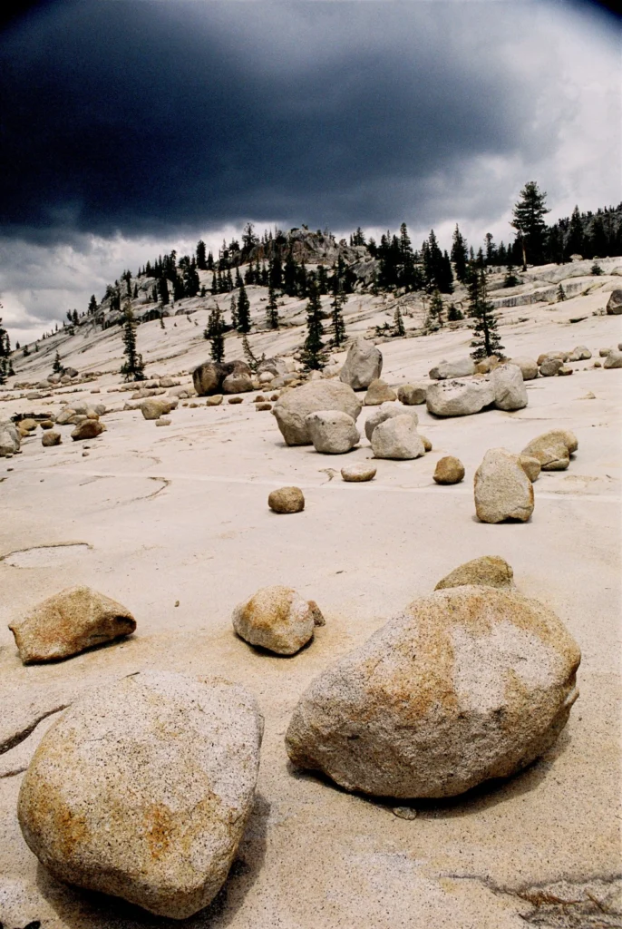
Yosemite National Park, in California, is renowned for its beautiful and striking landscapes. So much so, this is the second time it has feature on the blog this summer. While our last post on the park focused on the ancient volcanic history of its landscape, in this post we fast forward to the Plesitocene (some 110,000 to 12,000 years ago) to discover more about how glaciers shaped Yosemite’s lan ...[Read More]

Imaggeo on Mondays: Why is groundwater so important?

Imaggeo on Mondays: Why is groundwater so important?

Groundwater is an often underestimated natural resource, but it is vital to the functioning of both natural and urban environments. Indeed, it is a large source of drinking water for communities world-wide, as well as being heavily used for irrigation of crops and crucial for many industrial processes. The water locked in the pores and cracks within the Earth’s soils and rocks, also plays an impor ...[Read More]

Imaggeo on Mondays: Heavy machinery

Imaggeo on Mondays: Heavy machinery

How do you get heavy machinery, such as a drill spool onto an ice sheet? This week’s imaggeo on Mondays’ photography captures the freighting of components of a hot water drill to directly access and observe the physical and geothermal properties at the ice-bed interface. In the image, SAFIRE principal investigator Bryn Hubbard and post-doc Sam Doyle help fly in the drill spool at the start o ...[Read More]

Gender equality in the geosciences: is it a numbers game?

Gender equality in the geosciences: is it a numbers game?

Here’s a tricky question for you. Try and name a woman in geoscience who has won an award for their studies in the last 5 years? How about a man? Chances are it is much easier to think of a male geoscientist who has won an award than a female one, but is that because more men win awards in geoscience than women (compared to the number of male and female geoscientists)? This was the question that w ...[Read More]

Imaggeo on Mondays: A sunrise over Kelimutu’s three-colour lakes

Imaggeo on Mondays: A sunrise over Kelimutu’s three-colour lakes

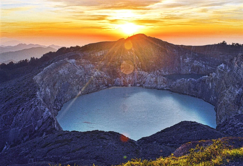
Volcanoes are undeniably home to some of the most beautiful landscapes on Earth. It doesn’t take much imagination to picture slopes of exceedingly fertile mineral rich soils, covered in lush vegetation; high peaks punching through cloud cover offering stunning vistas and bubbling pools of geothermally warmed waters were one can soak ones worries away. What about strikingly coloured crater lakes? Y ...[Read More]

Imaggeo on Mondays: Using geophysical techniques to unlock the secrets of the past

Imaggeo on Mondays: Using geophysical techniques to unlock the secrets of the past

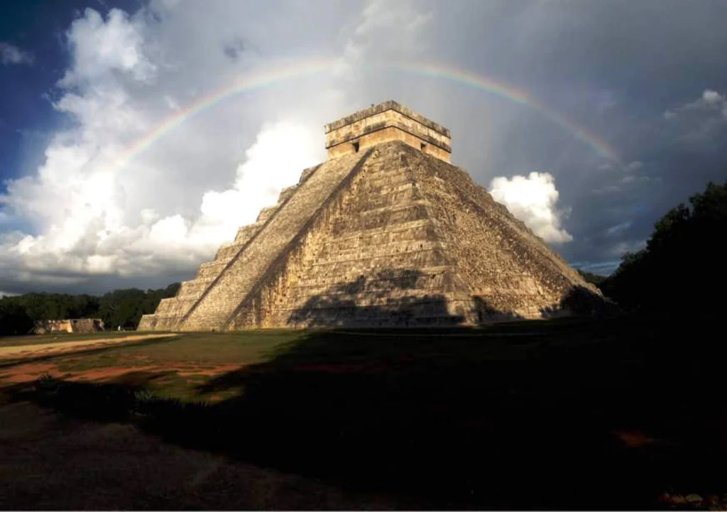
Unravelling the secrets of past civilisations is tricky at the best of times. More so if many of the records which hold clues about how communities lived, built their homes and temples, as well as how they fed themselves, were destroyed by subsequent invaders. In these instances, as Felix Rodriguez Cardozo explains in today’s post, geophysical techniques (such as Lidar, which very recently hit the ...[Read More]