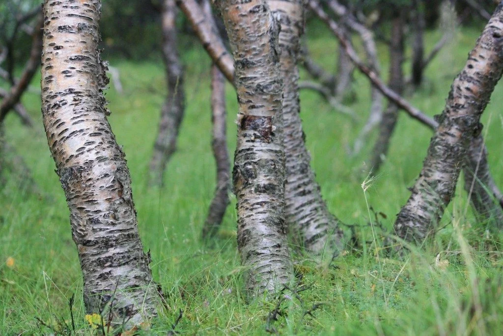
Iceland is a country of dramatically rugged landscapes. The region is home to sweeping valleys and mountain ranges, dotted with lava fields, large glaciers, hot springs and impressive waterfalls. The territory is also notoriously treeless. As of 2016, forests only made up 1.9 percent of Iceland, according to the Icelandic Forest Service. However, about a thousand years ago the country’s landscape ...[Read More]
Field Work
Announcing the winners of the EGU Photo Competition 2018!
The selection committee received over 600 photos for this year’s EGU Photo Contest, covering fields across the geosciences. Participants at the 2018 General Assembly have been voting for their favourites throughout the week of the conference and there are three clear winners. Congratulations to 2018’s fantastic photographers! ‘Foehn clouds in Patagonia,’ by Christoph Mayr (dist ...[Read More]
Photo Competition finalists 2018 – who will you vote for?
The selection committee received over 600 photos for this year’s EGU Photo Competition, covering fields across the geosciences. The fantastic finalist photos are below and they are being exhibited in Hall X2 (basement, Brown Level) of the Austria Center Vienna – see for yourself! Do you have a favourite? Vote for it! There is a voting terminal (also in Hall X2), just next to the exhibit. The resul ...[Read More]
Imaggeo on Mondays: Mount Elgon, a balance between fertility and destruction
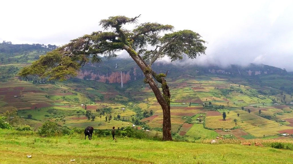
This colourful cropland patchwork is located on the fertile flanks of Mount Elgon, Uganda at an elevation of 2,400 metres above sea level. The extinct shield volcano, the oldest in East Africa, is mostly covered in clouds and provides an infinite flow of wonderful waterfalls. Due to the climate at this elevation, the cultivated crops experience more temperate weather conditions compared to crops m ...[Read More]
Imaggeo on Mondays: The Crossroads of Flood and Drought
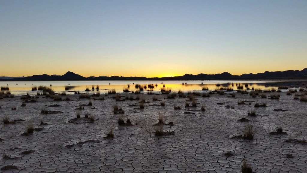
This picture was taken on the way back from collecting field measurements at the Lordsburg Playa in southwestern New Mexico, USA. The setting sun highlights the contrast between the dry, cracked soil and the standing water from antecedent rainfall. A playa is a flat topographic depression in arid or semi-arid regions that contains a large amount of deposited sediment. When the surface of the playa ...[Read More]
Imaggeo on Mondays: Chilean relics of Earth’s past
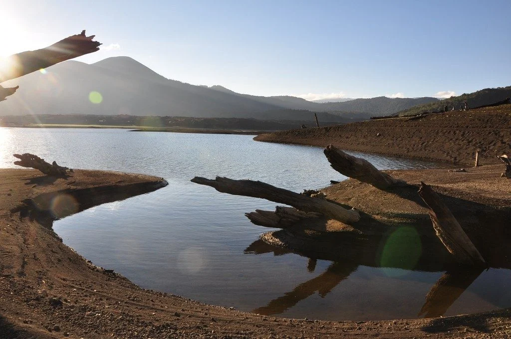
As Earth’s environment changes, it leaves behind clues used by scientists to paint portraits of the past: scorched timber, water-weathered shores, hardened lava flows. Chile’s Conguillío National Park is teeming with these kind of geologic artifacts; some are only a few years old while others have existed for more than 30 million years. The photographer Anita Di Chiara, a researcher at Lancaster U ...[Read More]
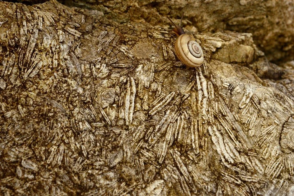
Imaggeo on Mondays: Nummulites, the living lentils
This photograph depicts a close-up of Eocene limestones from the Sardinero Formation in Cantabria (Northern Spain). The limestone is rich with foraminifera shells, most of them from the Nummulitidae family. These organisms once lived in a very shallow sea that separated Europe from Iberia in the late Mesozoic and early Cenozoic era. Later the sea basin’s closure led to the formation of the Pyrene ...[Read More]
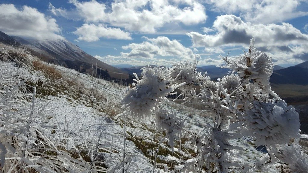
Imaggeo on Mondays: Winter threatens to freeze over fieldwork
This photo was taken during a fieldwork campaign following the mainshock of the deadly seismic sequence that struck central Italy starting from 24 August 2016. The magnitude 6.2 earthquake severely damaged nearby towns, claimed more than 290 lives and injured nearly 400 people in its wake. As a geologist from the National Institute of Geophysics and Volcanology, I was in charge of measuring the ma ...[Read More]
Last chance to enter the EGU Photo Contest 2018!
If you are pre-registered for the 2018 General Assembly (Vienna, 8 -13 April), you can take part in our annual photo competition! Winners receive a free registration to next year’s General Assembly! But hurry, there are only a few days left to enter! Every year we hold a photo competition and exhibit in association with our open access image repository, Imaggeo, and our annual General Assembly. Th ...[Read More]
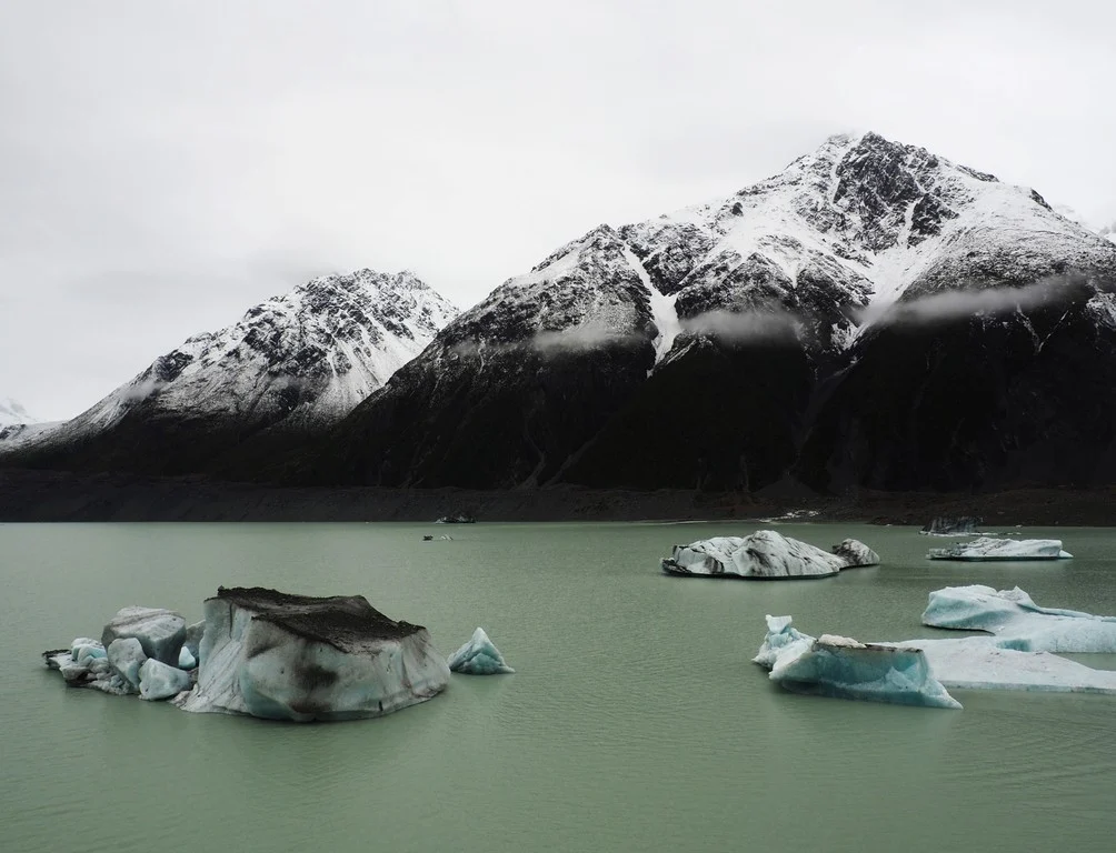
Imaggeo on Mondays: Tasman Lake Down Under
The Tasman Glacier Terminal Lake, seen in this photograph, lies in the Aoraki Mount Cook National Park in New Zealand’s south island. The photographer, Martina Ulvrova, stated she “finally got to see the largest glacier in New Zealand after several days of heavy rain, during which the landscape was bathing in mist”. The Tasman Glacier is 23 km long and is surrounded by a terminal proglacial lake w ...[Read More]