GeoLog

Field Work

Imaggeo on Mondays: The best of imaggeo in 2018
Imaggeo on Mondays: The best of imaggeo in 2018
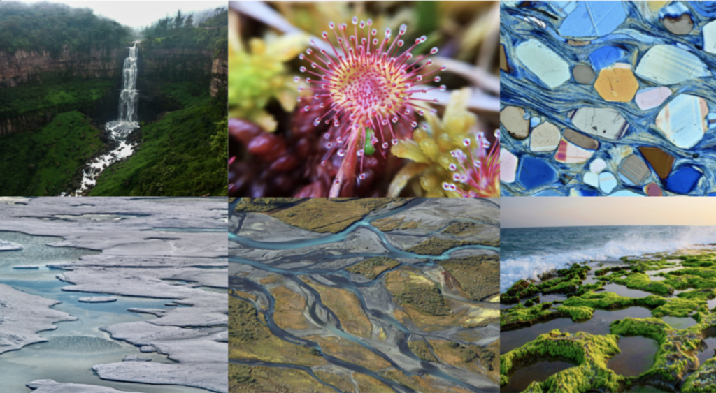
Imaggeo, our open access image repository, is packed with beautiful images showcasing the best of the Earth, space and planetary sciences. Throughout the year we use the photographs submitted to the repository to illustrate our social media and blog posts. For the past few years we’ve celebrated the end of the year by rounding-up some …[Read More]

Imaggeo on Mondays: On the way to Tristan’s penguins

Imaggeo on Mondays: On the way to Tristan’s penguins

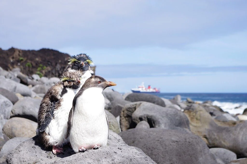
Tristan da Cunha is a remote volcanic island in the south Atlantic Ocean. In fact, it is the most remote inhabited archipelago in the world. Tristan is still volcanically active; the last time it erupted was in 1961. After the eruption, which luckily did not have any casualties, the whole population of around 260 people …[Read More]

Imaggeo on Mondays: Small scale processes, large scale landforms

Imaggeo on Mondays: Small scale processes, large scale landforms

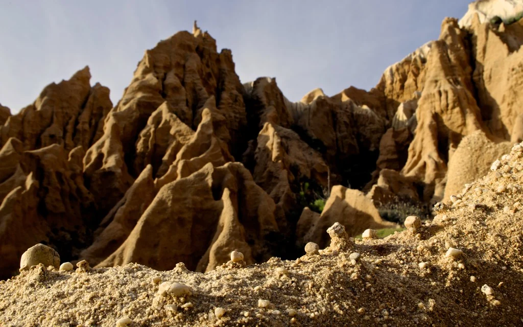
This picture was taken in a sea cliff gully landscape at the Portuguese coast. It shows the microrelief which small scale wash and erosional processes produce in these poorly consolidated sediments. These small scale landforms could be interpreted as initial stages of larger scale gully landforms, which can be seen in the back. This highlights …[Read More]

Imaggeo on Mondays: In-tents Icelandic sunset

Imaggeo on Mondays: In-tents Icelandic sunset

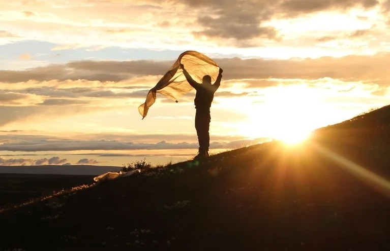
This photograph was taken at the campsite near lake Mỳvatn during a field trip to Iceland. Every year a group of students from Wageningen University travels from the Netherlands to Iceland for a weeklong excursion as part of a course on catchment hydrology. The aim of the trip is to provide students with real life …[Read More]

GeoPolicy: Bridging the gap between science and decision makers – a new tool for nuclear emergencies affecting food and agriculture

GeoPolicy: Bridging the gap between science and decision makers – a new tool for nuclear emergencies affecting food and agriculture

The International Atomic Energy Agency (IAEA) has developed an online system to assist in improving the response capabilities of authorities in the event of an emergency caused by natural hazards. The Decision Support System for Nuclear Emergencies Affecting Food and Agriculture (DSS4NAFA), provides a clear overview of radioactive contamination of crops and agricultural lands through …[Read More]

Imaggeo on Mondays: Digging out a glacier’s story

Imaggeo on Mondays: Digging out a glacier’s story

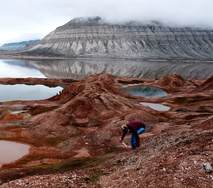
This photograph shows landforms on Coraholmen Island in Ekmanfjorden, one of the fjords found in the Norwegian archipelago, Svalbard. These geomorphic features were formed by Sefströmbreen, a tidewater glacier, when it surged in the 1880s. Although all glaciers flow, some glaciers undergo cyclic changes in their flow. This is called surging, and glaciers that surge are called …[Read More]

Imaggeo on Mondays: Arctic cottongrass in Svalbard

Imaggeo on Mondays: Arctic cottongrass in Svalbard

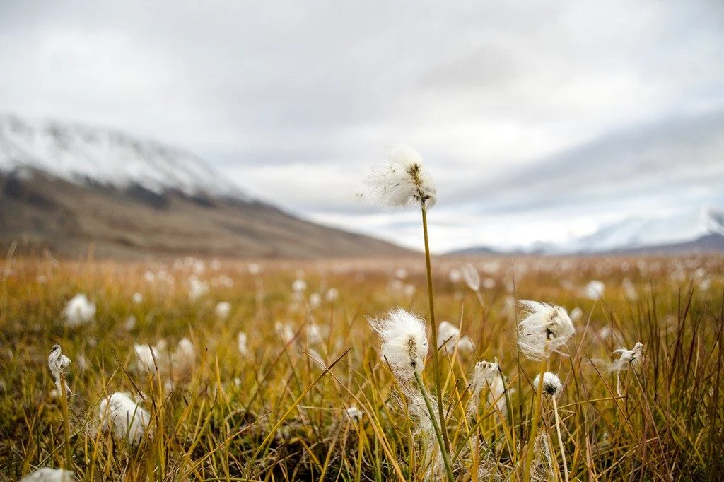
In the High Arctic, where vegetation is limited in height, cottongrass stands out as some of the tallest plant species around. This photo shows a wispy white patch of Arctic cottongrass growing amongst other tundra vegetation in the Advent river floodplain of Adventdalen, a valley on the Norwegian archipelago island Svalbard. Svalbard is of particular …[Read More]

Imaggeo on Mondays: Science in the Arctic trenches

Imaggeo on Mondays: Science in the Arctic trenches

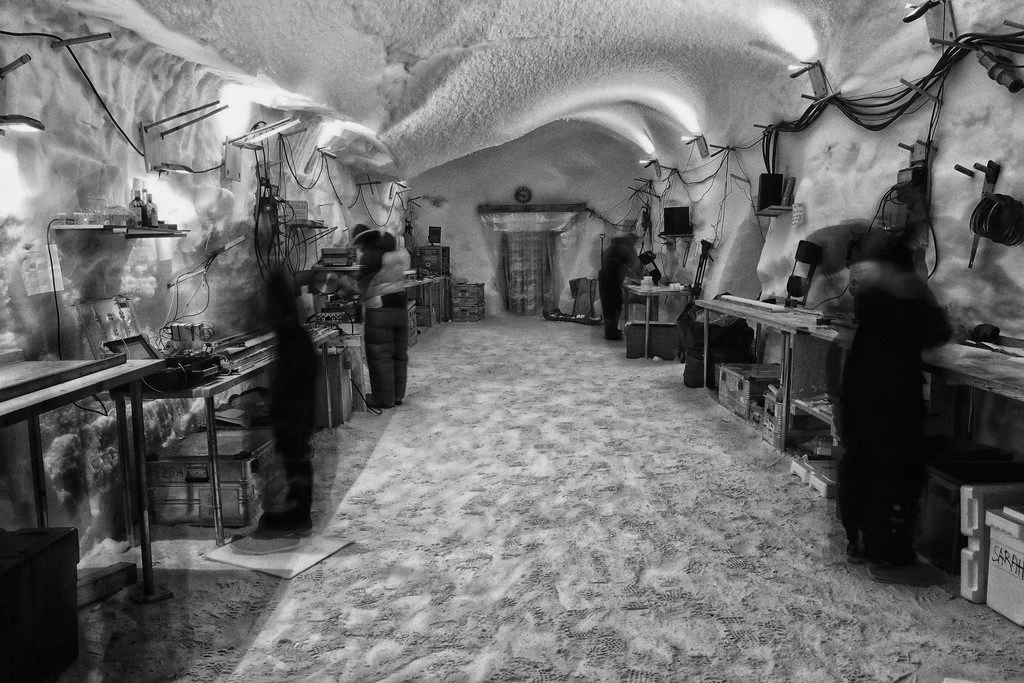
Pictured here are climate scientists processing ice core samples in the East Greenland Ice-core Project (EastGRIP) science trench 10 m under the surface of the Greenland ice cap. The trenches of this ice core camp require minimum building materials, utilising giant inflatable balloons that are dug in and covered with snow. The snow is left …[Read More]