GeoLog

EGU Scientific Divisions

Imaggeo on Mondays: The road to nowhere – natural hazards in the Peloponnese

Imaggeo on Mondays: The road to nowhere – natural hazards in the Peloponnese

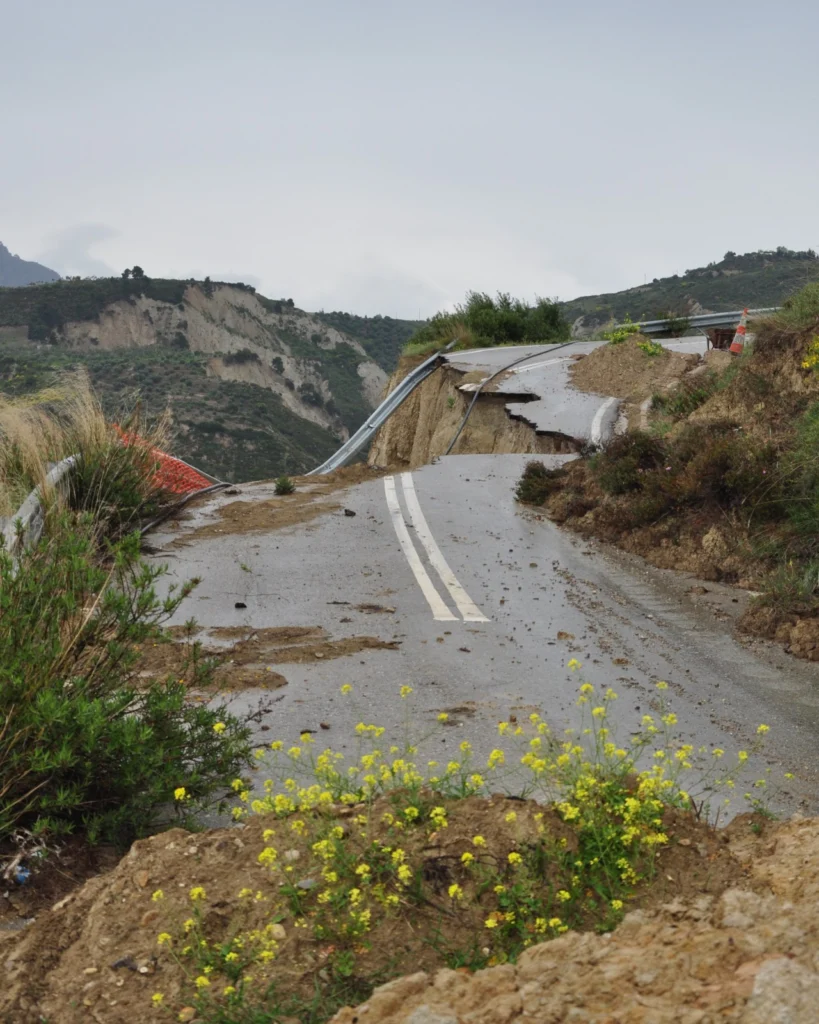
The Gulf of Corinth, in southern Greece, separates the Peloponnese peninsula from the continental mainland. The structural geology of the region is complex, largely defined by the subduction of the African Plate below the Eurasian Plate (a little to the south). The Gulf itself is an active extensional marine basin, i.e., one that is pulling open and where sediments accumulate. Sedimentary basins r ...[Read More]

What is in your field rucksack? Camping in Iceland

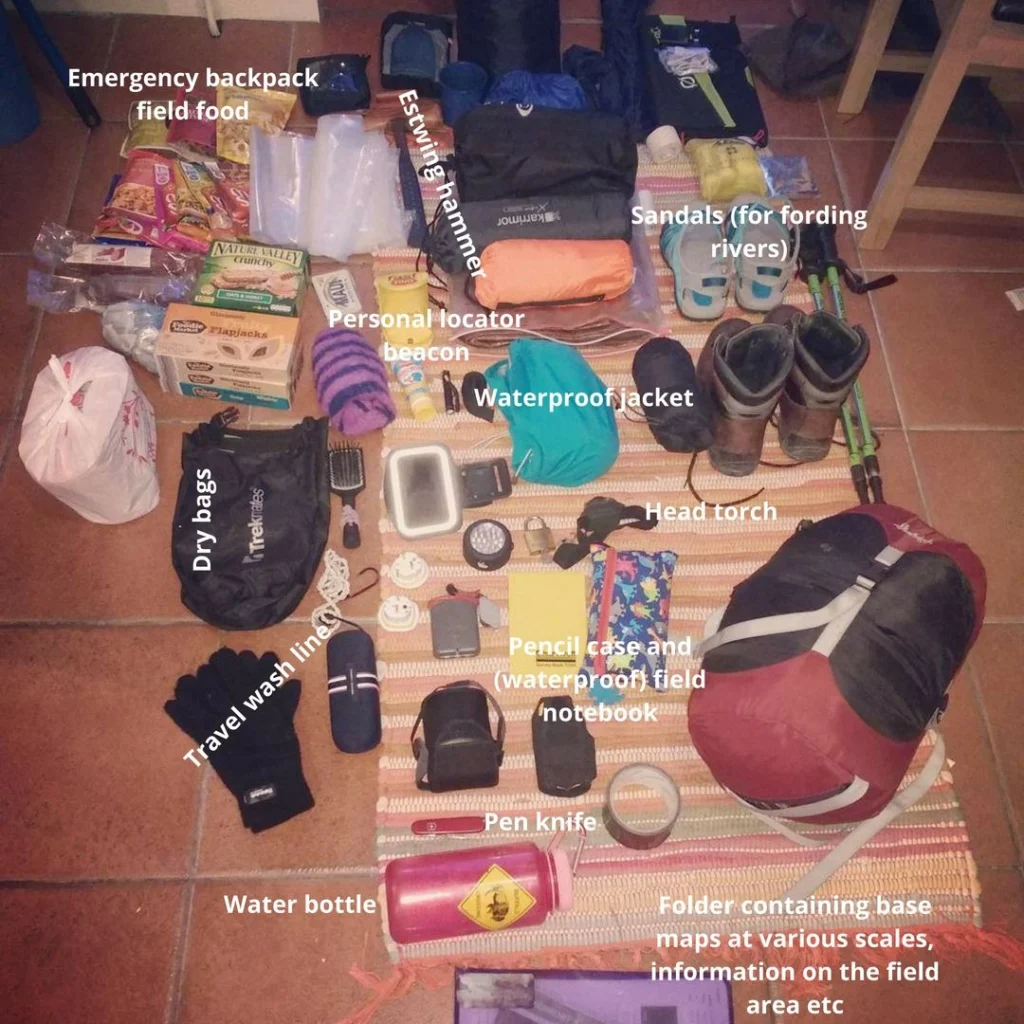
Inspired by a post on Lifehacker on what your average geologist carries in their rucksack/backpack, we’ve put together a few blog posts showcasing what a range of our EGU members carry in their bags whilst in the field! Beautiful, eyrie, the land where fire meets ice: Iceland. An Earth scientist’ dream, complete with lava, volcanoes, earthquakes, impossible landscapes, ice, snow, the ocean…Iceland ...[Read More]

Imaggeo on Mondays: what corals can tell us about past climate change

Imaggeo on Mondays: what corals can tell us about past climate change

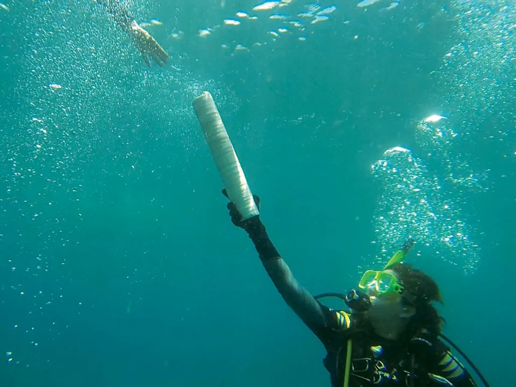
Reconstructing past climates is a tricky task at the best of times. It requires an ample data set and a good understanding of proxies. Add into the mix some underwater fieldwork and the challenge got a whole lot harder! In today’s Imaggeo on Monday’s post, Isaac Kerlow explains how information locked in corals can tell the story of past climates and how important it is, not only to carry out the r ...[Read More]

Geosciences Column: A new rock outcrop map and area estimation for the entire Antarctic continent

Geosciences Column: A new rock outcrop map and area estimation for the entire Antarctic continent

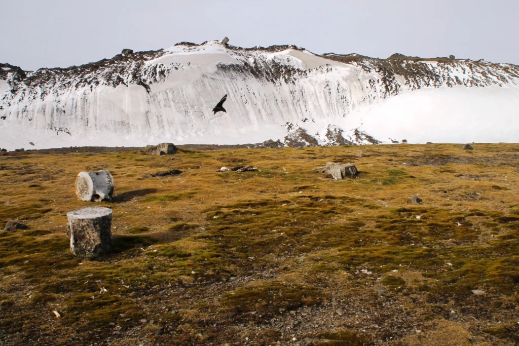
Antarctica has been known as “the frozen continent” for almost as long as we have known of its existence. It may be the only place on Earth where, instead of information on the extent of glaciers or ice caps, there exists a dataset of all non-icy areas compiled from satellite imagery. However, this repository is far from perfect: while satellite resolution and coverage have been steadily improving ...[Read More]

GeoTalk: Raffaele Albano, Early Career Scientist Representative

GeoTalk: Raffaele Albano, Early Career Scientist Representative

In addition to the usual GeoTalk interviews, were we highlight the work and achievements of early career researchers, over the next few months we’ll be introducing the Division early career scientist representatives (ECS). They are responsible for ensuring that the voice of EGU ECS membership is heard. From organising short courses during the General Assembly, through to running Division Blogs and ...[Read More]

Imaggeo on Mondays: Living flows

Imaggeo on Mondays: Living flows

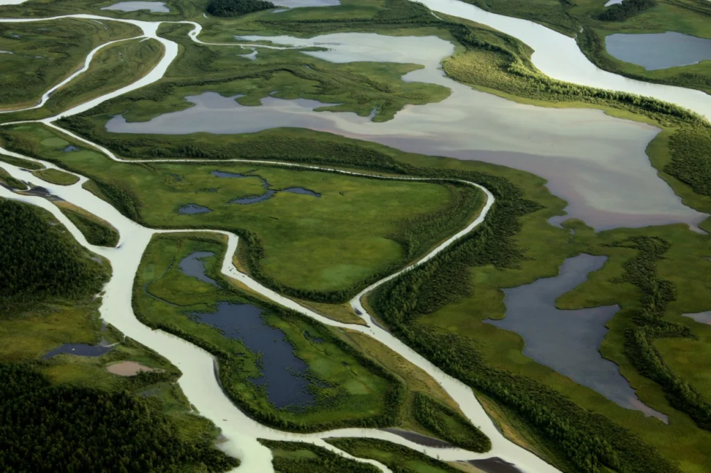
There are handful true wildernesses left on the planet. Only a few, far flung corners, of the globe remain truly remote and unspoilt. To explore and experience untouched landscapes you might find yourself making the journey to the dunes in Sossuvlei in Namibia, or to the salty plain of the Salar Uyuni in Bolivia. But it’s not necessary to travel so far to discover an area where humans have, so far ...[Read More]

Imaggeo on Mondays: counting stars

Imaggeo on Mondays: counting stars

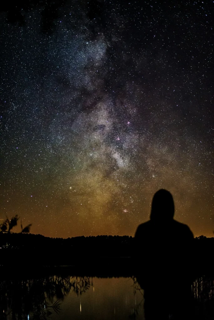
This year’s imaggeo photo contest saw humdreds of great entries. Among the winning images was a stunning night-sky panorama by Vytas Huth. In today’s post, Vytas describes how he captured the image and how the remote location in Southern Germany is one of the few (in Europe) where it is still posssible to, clearly, image the Milk Way. I took the image in October 2015, usually the last ...[Read More]

Imaggeo on Mondays: Coastal erosion

Imaggeo on Mondays: Coastal erosion

Coastlines take a battering from stormy seas, gales, windy conditions and every-day wave action. The combined effect of these processes shapes coastal landscapes across the globe. In calm weather, constructive waves deposit materials eroded elsewhere and transported along the coast line via longshore-drift, onto beaches, thus building them up. Terrestrial material, brought to beaches by rivers and ...[Read More]

Going deeper underground – why do we want to know how rocks behave?

Going deeper underground – why do we want to know how rocks behave?

Imagine you find yourself standing atop a wooden box in the middle of your home town, on a rainy weekend day, with the sole aim of talking to passersby about your research work. It can be a rather daunting prospect! How do you decide what the take-home message of your work is: which single nugget of information do you want members of the public to take away after having spoken to you? Even more im ...[Read More]

Imaggeo on Mondays: Glacier de la Pilatte

Imaggeo on Mondays: Glacier de la Pilatte

The relentless retreat of glaciers, globally, is widely studied and reported. The causes for the loss of these precious landforms are complex and the dynamics which govern them difficult to unravel. So are the consequences and impacts of reduced glacial extent atop the world’s high peaks, as Alexis Merlaud, explains in this week’s edition of Imaggeo on Mondays. This picture was taken on 20 August ...[Read More]