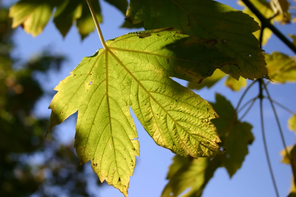
We often read about Earth’s mass extinction events and how they wiped out vast numbers of animal species, leaving survivors to evolve and repopulate the planet. But it’s rarer to hear about how plants managed these catastrophes. A new study published last month by a team at University College Dublin, Ireland, in the journal Nature …[Read More]
Biogeosciences
Imaggeo on Mondays: The unique bogs of Patagonia
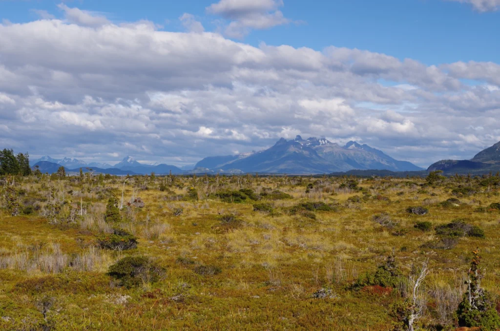
Patagonia, the region in southernmost tip of South America, is as diverse as it is vast. Divided by the Andes, the arid steppes, grasslands and deserts of Argentina give way to the temperate rainforests, fjords and glaciers of Chile. Also on the Chilean side are rolling hills and valleys of marshy topography: Patagonia’s bogs. Today, …[Read More]
Imaggeo on Mondays: Measuring the wind direction
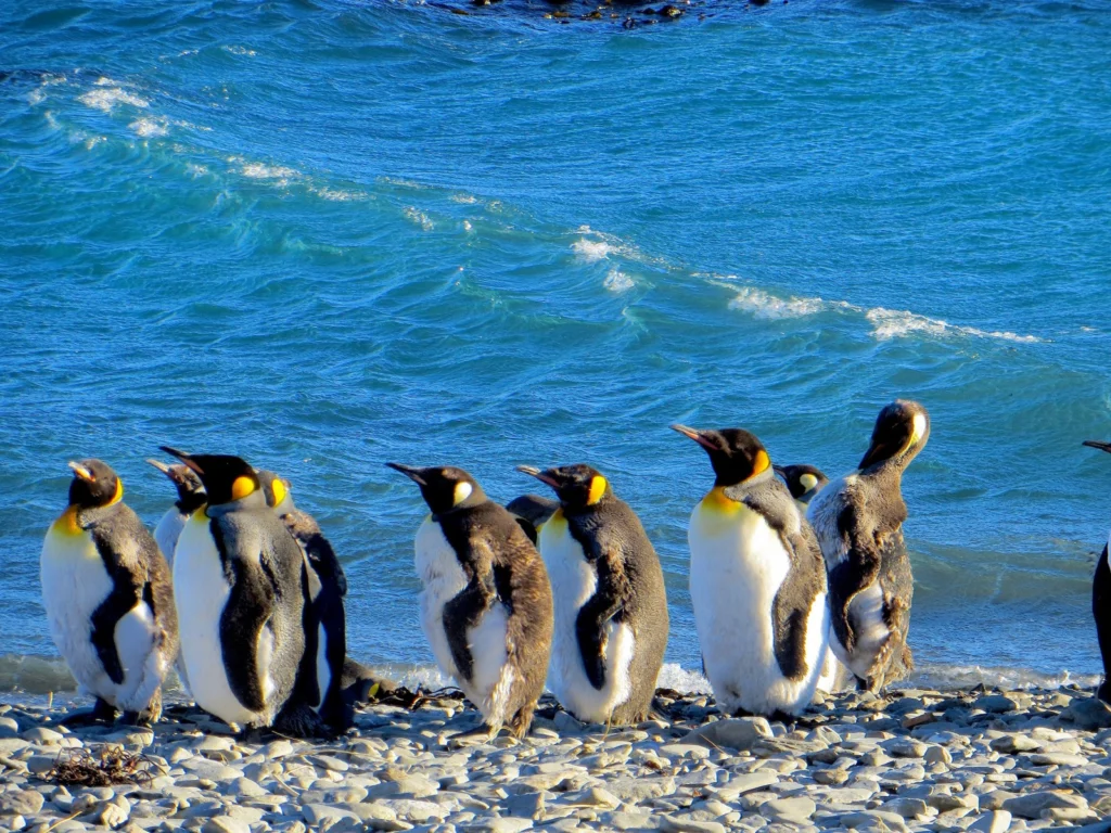
Remote, rugged, raw and beautiful beyond measure, the island of South Georgia rises from the wild waters of the South Atlantic, 1300 km south east of the Falkland Islands. The Allardyce Range rises imposingly, south of Cumberland Bay, dominating the central part of the island. At its highest, it towers 2935 m (Mount Paget) above …[Read More]
Record-setting forest fires in 2017 – what is to blame?
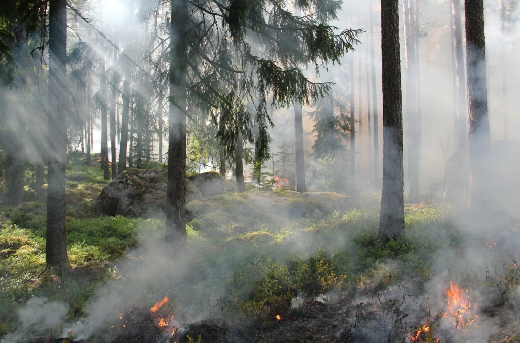
Forest fires have once again seized the public consciousness in both Europe and North America. Extreme drought and temperatures contributed to a tinderbox in many forests, and have led to deadly fires across Europe and record-breaking, highly disruptive fires in the USA and Canada, from where I’m currently writing. A simple way to understand fire …[Read More]
GeoSciences Column: Catch of the day – what seabirds can tell us about the marine environment
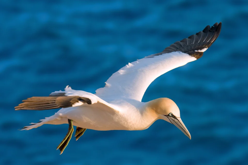
Off the coast of Germany, a male northern gannet (for ease, we’ll call him Pete) soars above the cold waters of the North Sea. He’s on the hunt for a shoal of fish. Some 40km due south east, Pete’s mate and chick await, patiently, for him to return to the nest with a belly full …[Read More]
Imaggeo on Mondays: A prehistoric forest
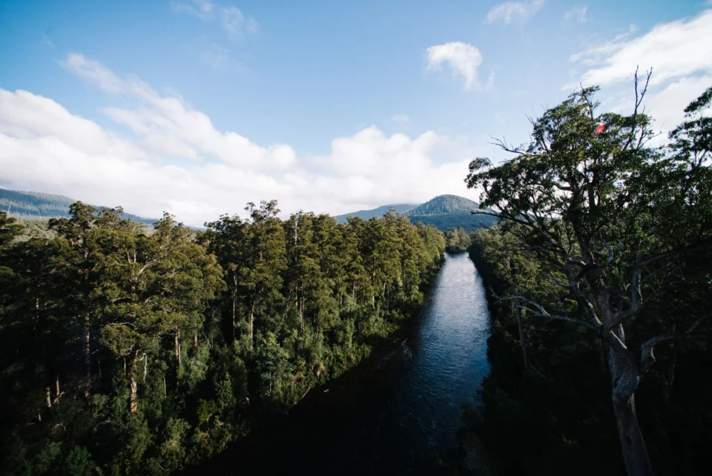
This stunning vista encompasses the south-western wilderness of Tasmania as seen from the Tahune air walk 60 m above the Huon river valley. In front lies the beginning of a huge UNESCO World Heritage Site, covering almost a fourth of the area of Tasmania. The site mostly consists of a pristine, temperate rainforest of Gondwanan …[Read More]
Imaggeo on Mondays: Low tide at Alexandra Fjord
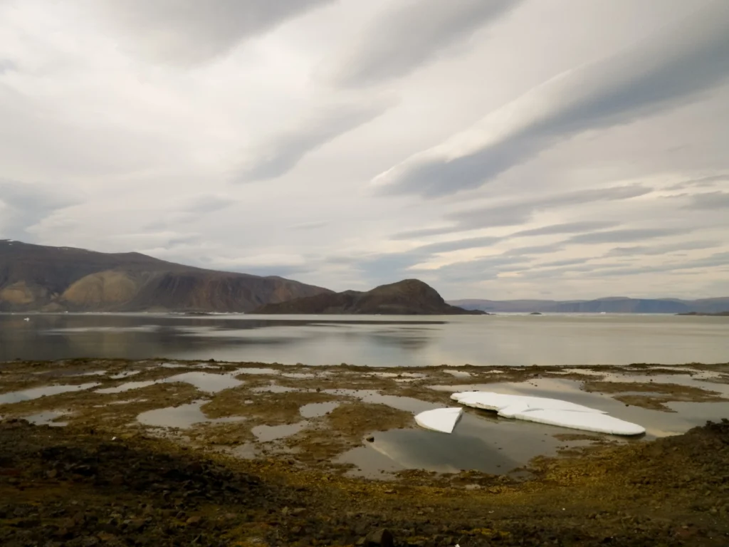
Today’s post takes us to the far northern reaches of our planet, to a desert like nothing you’ve seen before. This picture is a view to the north across Alexandra Fjord, on the east coast of Ellesmere Island, in the Canadian High Arctic, with Sphynx island in the middle of the fjord. The south shore …[Read More]
June GeoRoundUp: the best of the Earth sciences from around the web
Drawing inspiration from popular stories on our social media channels, as well as unique and quirky research news, this monthly column aims to bring you the best of the Earth and planetary sciences from around the web. Major Story With June being the month when the world’s oceans are celebrated with World Ocean Day (8th …[Read More]
Artificial floods: Restoring the ecological integrity of rivers
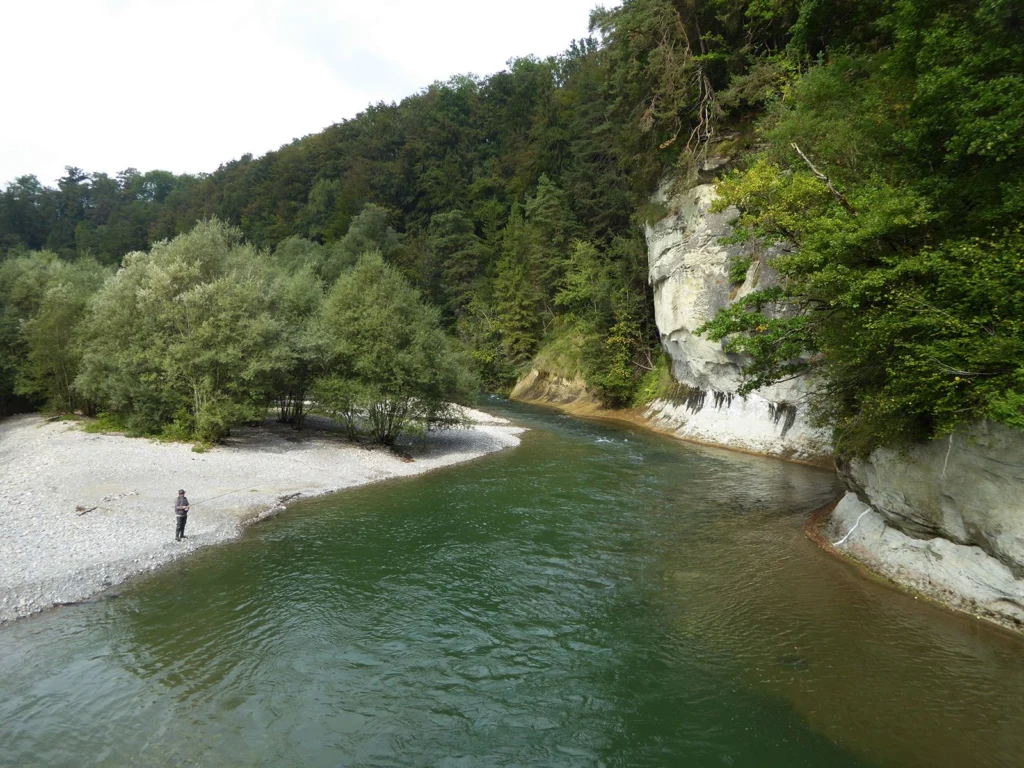
“You can never step into the same river, for new waters are always flowing on to you.” —Heraclitus of Ephesus Rushing rivers, with their unremitting twists and turns and continuous renewal, are often used as a metaphor for life, but the analogy is just as appropriate for scientific research, I reflected as I walked along …[Read More]
Imaggeo on Mondays: A lava layer cake
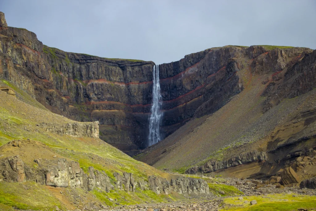
Brekkuselslækur, a small river, carves its way across Iceland’s ancient volcanic landscape. At Hengifoss, Iceland’s third-highest waterfall, it tumbles fiercely down thick, dark layers of lavas erupted from volcanoes some 18 to 2.58 million years ago, during a period of geological time known as the Tertiary. Eruptions are rarely continuous; during hiatuses in the extrusion …[Read More]