GeoLog

Climate: Past, Present & Future

GeoPolicy: What will a Trump presidency mean for climate change?

GeoPolicy: What will a Trump presidency mean for climate change?
The US Presidential election this month saw Republican Donald Trump, a fierce climate sceptic, be elected into office. In wake of the election results, this month’s GeoPolicy post will take a look at Trump’s proposed actions on climate change, how likely these are to happen, and what the climate and clean technology communities could do to limit the damage.   This tweet, written four years ag ...[Read More]

GeoTalk: Peter Lippert, understanding continental tectonics through palaeomagnetic studies

GeoTalk: Peter Lippert, understanding continental tectonics through palaeomagnetic studies

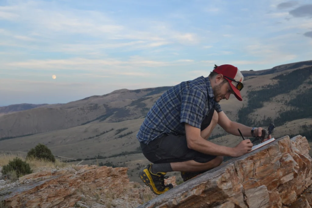
Geotalk is a regular feature highlighting early career researchers and their work. In this interview we speak to Peter Lippert, a palaeomagnetist at the University of Utah, and winner of the 2016 EMRP Outstanding Young Scientist Award. He was granted the award for his contributions to insights into palaeoceanography and continental tectonics through palaeomagnetic studies. Crucially, his work usin ...[Read More]

GeoSciences Column: The ‘dirty weather’ diaries of Reverend Richard Davis

GeoSciences Column: The ‘dirty weather’ diaries of Reverend Richard Davis

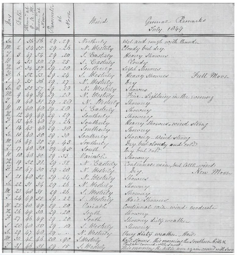
Researching the Earth’s climate of the past, helps scientists make better predictions about how the climate and our environment will continue to be affected by, change and adapt to rising temperatures. One of the most invaluable sources of data, when it comes to understanding the Earth’s past climate, are historical meteorological records. Accounts of weather and climate conditions for the Souther ...[Read More]

Imaggeo on Mondays: A look inside a thunderstorm

Imaggeo on Mondays: A look inside a thunderstorm

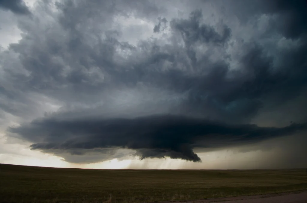
This week’s contribution to Imaggeo on Mondays is a photograph of a mesocyclone – and its rotating wall cloud – photographed by Mareike Schuster, an atmospheric scientist from Freie Universität Berlin, Germany. The picture was taken in June 2012 near Cheyenne, Wyoming in the United States during a field campaign, ROTATE, led by the Center for Severe Weather Research, based in Boulder, Colora ...[Read More]

Imaggeo on Mondays: Why does a Norwegian glacier look blue?

Imaggeo on Mondays: Why does a Norwegian glacier look blue?

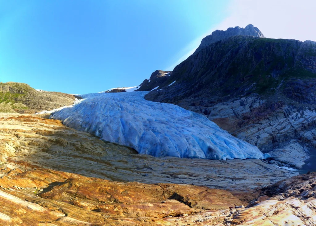
This picture shows the outlet glacier Engabreen running down from the plateau of Svartisen in Norway. Svartisen ice cap comprises two glacier systems of which the Vestre (western) Svartisen is Norway’s second largest glacier. Located right at the polar circle, Svartisen covers a total of 369 km² of the Nordland region. These coastal mountains accumulate a snowpack of 5-7 m depth through the winter ...[Read More]

Celebrating Earth Science Week!

Celebrating Earth Science Week!

For those not so familiar with the Earth sciences, geosciences and all its subdisciplines might be shrouded in mystery:  boring, unfathomable, out of reach and with little relevance to everyday life. Nothing could be further from the truth! Earth Science Week, an international annual celebration founded by the American Geosciences Institute in 1998, aims to change the public’s perception of the ge ...[Read More]

Imaggeo on Mondays: the rocks that look like Swiss cheese

Imaggeo on Mondays: the rocks that look like Swiss cheese

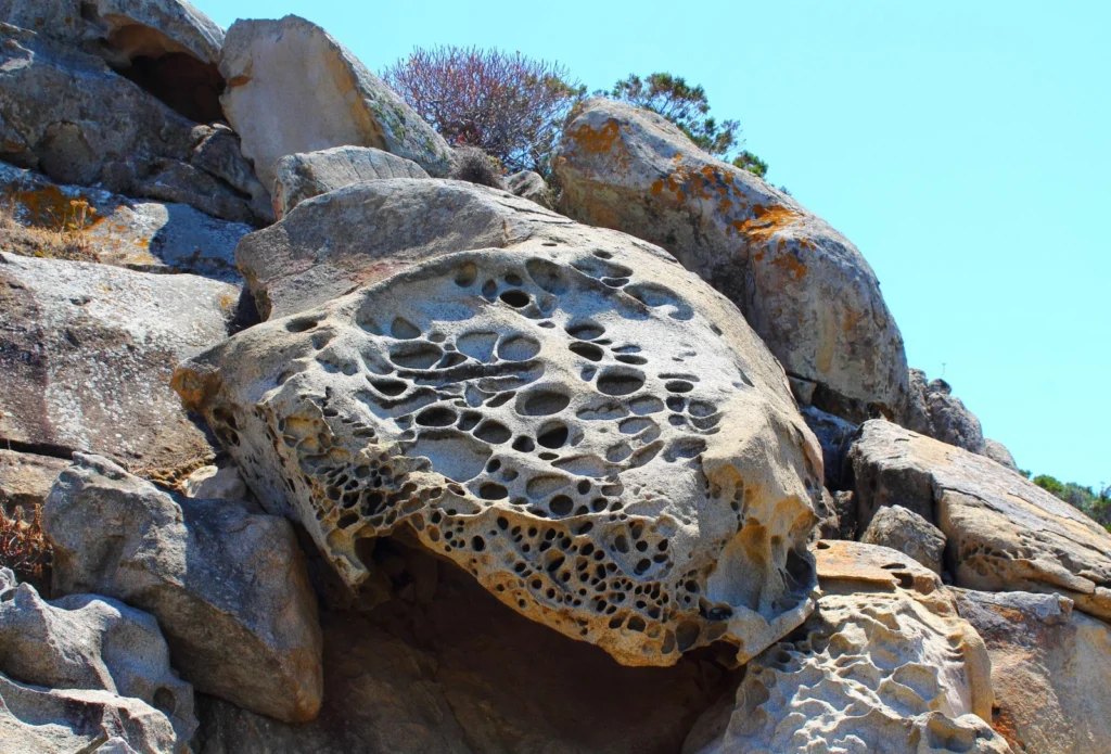
Over the course of centuries and millennia, the force of winds, seas, ice and rains, sculpt rock formations around the globe. From the world-famous glacier carved landscapes of Yosemite National Park, to the freeze-thawed hoodoos at Bryce National Park, through to the wind battered stone pillars of South China Karst, boundless geological formations have been transformed by the power of erosion and ...[Read More]

Imaggeo on Mondays: what corals can tell us about past climate change

Imaggeo on Mondays: what corals can tell us about past climate change

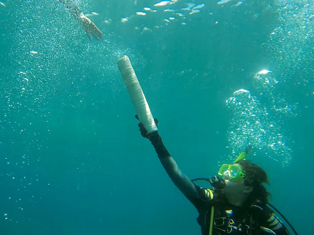
Reconstructing past climates is a tricky task at the best of times. It requires an ample data set and a good understanding of proxies. Add into the mix some underwater fieldwork and the challenge got a whole lot harder! In today’s Imaggeo on Monday’s post, Isaac Kerlow explains how information locked in corals can tell the story of past climates and how important it is, not only to carry out the r ...[Read More]

Geosciences Column: A new rock outcrop map and area estimation for the entire Antarctic continent

Geosciences Column: A new rock outcrop map and area estimation for the entire Antarctic continent

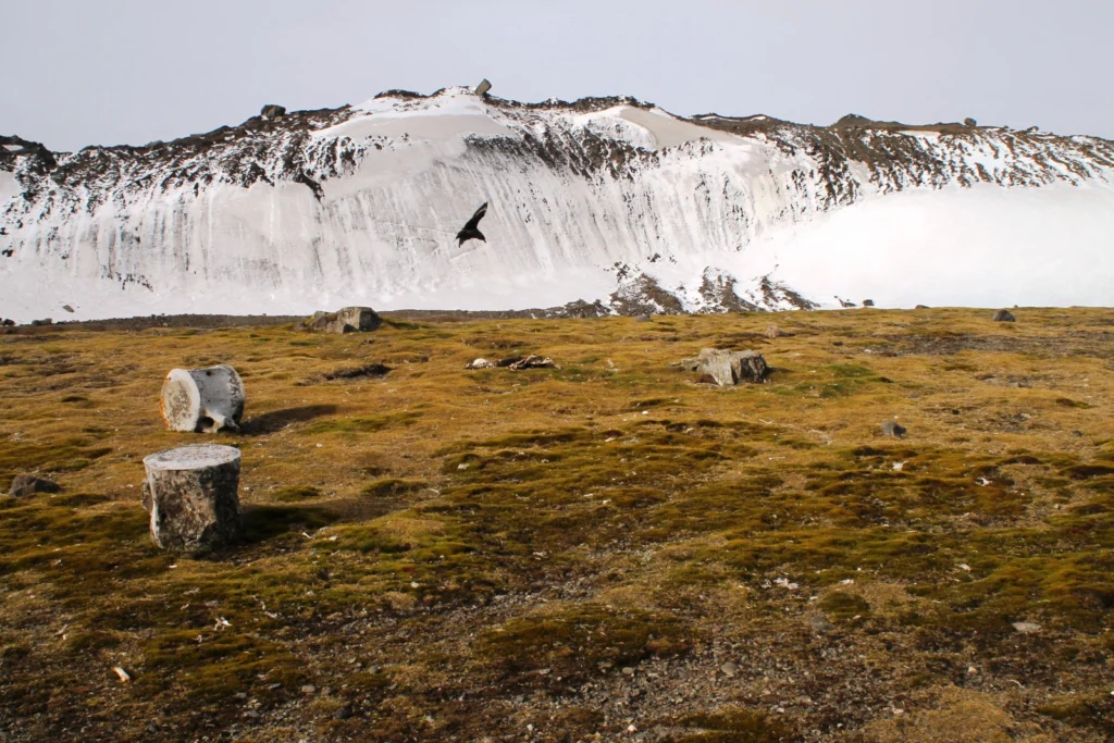
Antarctica has been known as “the frozen continent” for almost as long as we have known of its existence. It may be the only place on Earth where, instead of information on the extent of glaciers or ice caps, there exists a dataset of all non-icy areas compiled from satellite imagery. However, this repository is far from perfect: while satellite resolution and coverage have been steadily improving ...[Read More]

Imaggeo on Mondays: Coastal erosion

Imaggeo on Mondays: Coastal erosion

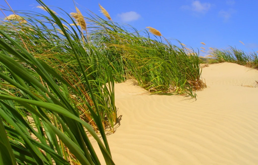
Coastlines take a battering from stormy seas, gales, windy conditions and every-day wave action. The combined effect of these processes shapes coastal landscapes across the globe. In calm weather, constructive waves deposit materials eroded elsewhere and transported along the coast line via longshore-drift, onto beaches, thus building them up. Terrestrial material, brought to beaches by rivers and ...[Read More]