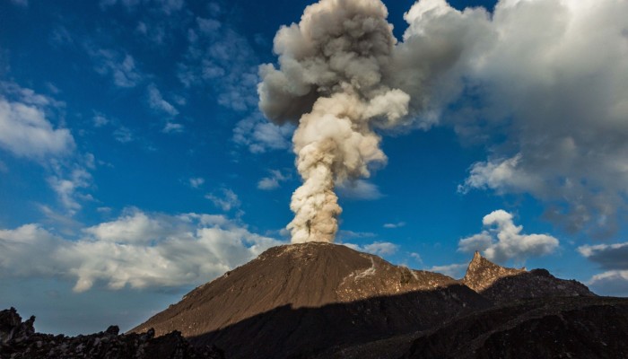
Santiaguito volcano in Guatemala is one of the most active volcanoes in Central America: currently erupting every 45-90 mintues, from its active lava dome Caliente, while at the same time sending a lava flow down its flanks. This makes it an ideal study object for volcanology. A group of volcanologists from the University of Liverpool, in the UK, installed a network of geophysical stations around the volcano in November 2014, (you can find out more about that trip here). They’ve since been back to Guatemala to download the data recorded by the stations and carry out some maintenance. This photo diary blog post, by Felix Von-Aulock, a postdoctoral researcher at the University of Liverpool, gives a snap shot of what it is like to carry out research on an active volcano: it’s challenging, packed full of adventure and rewarding in equal mesure!
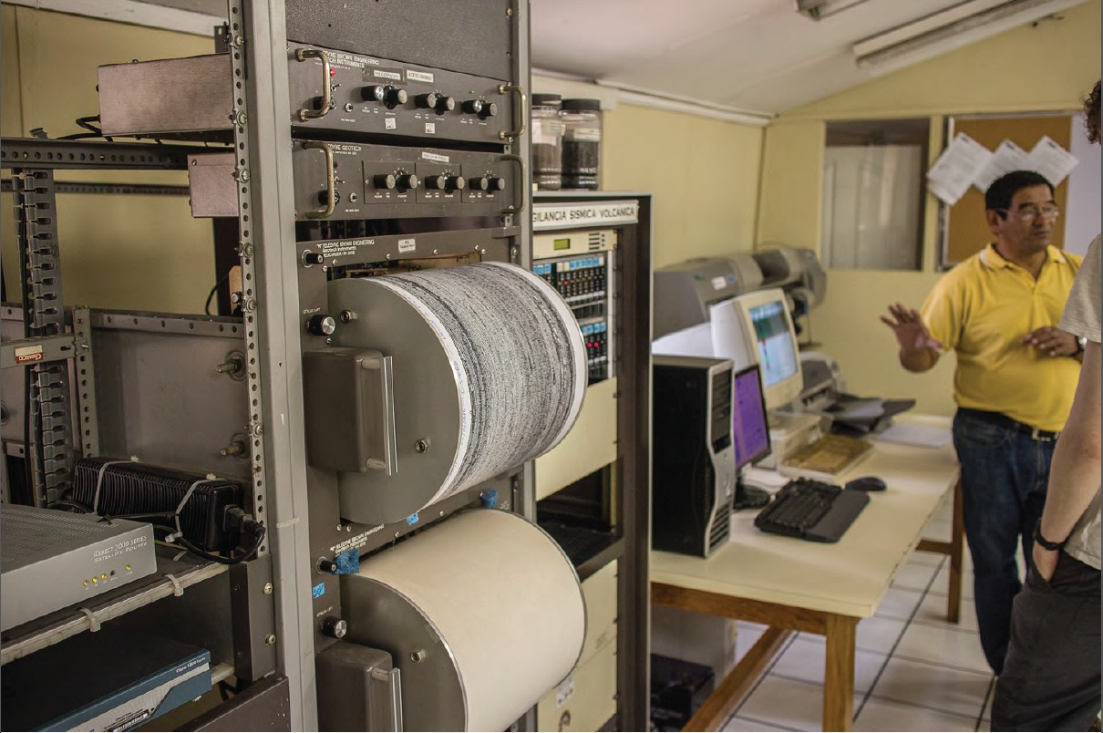
Image credit: Felix Von Aulock
The Institute for Seismology, Volcanology, Meteorology and Hydrology (INSIVUMEH) are working hard to deliver updates on the activity of at least 3 erupting volcanoes to public, governmental bodies, and scientists. They do a really good job, despite the constant lack of funding, personel and equipment. This is our first stop on our way to Santiaguito, picking up equipment we left here last time, and catching up with Gustavo Chigna, a volcanolgist at INSIVUMEH.
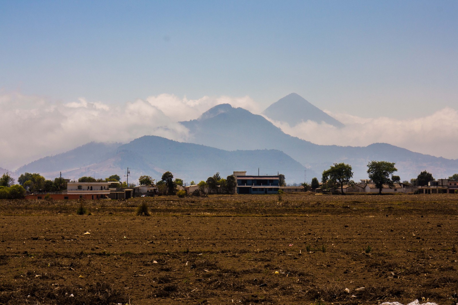
Image credit: Felix Von Aulock
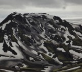
A few hours drive from Guatemala City, we finally see our destination, the Cerro Quemado/ Almolonga complex, with Santa Maria volcano (the tallest peak) in the background.
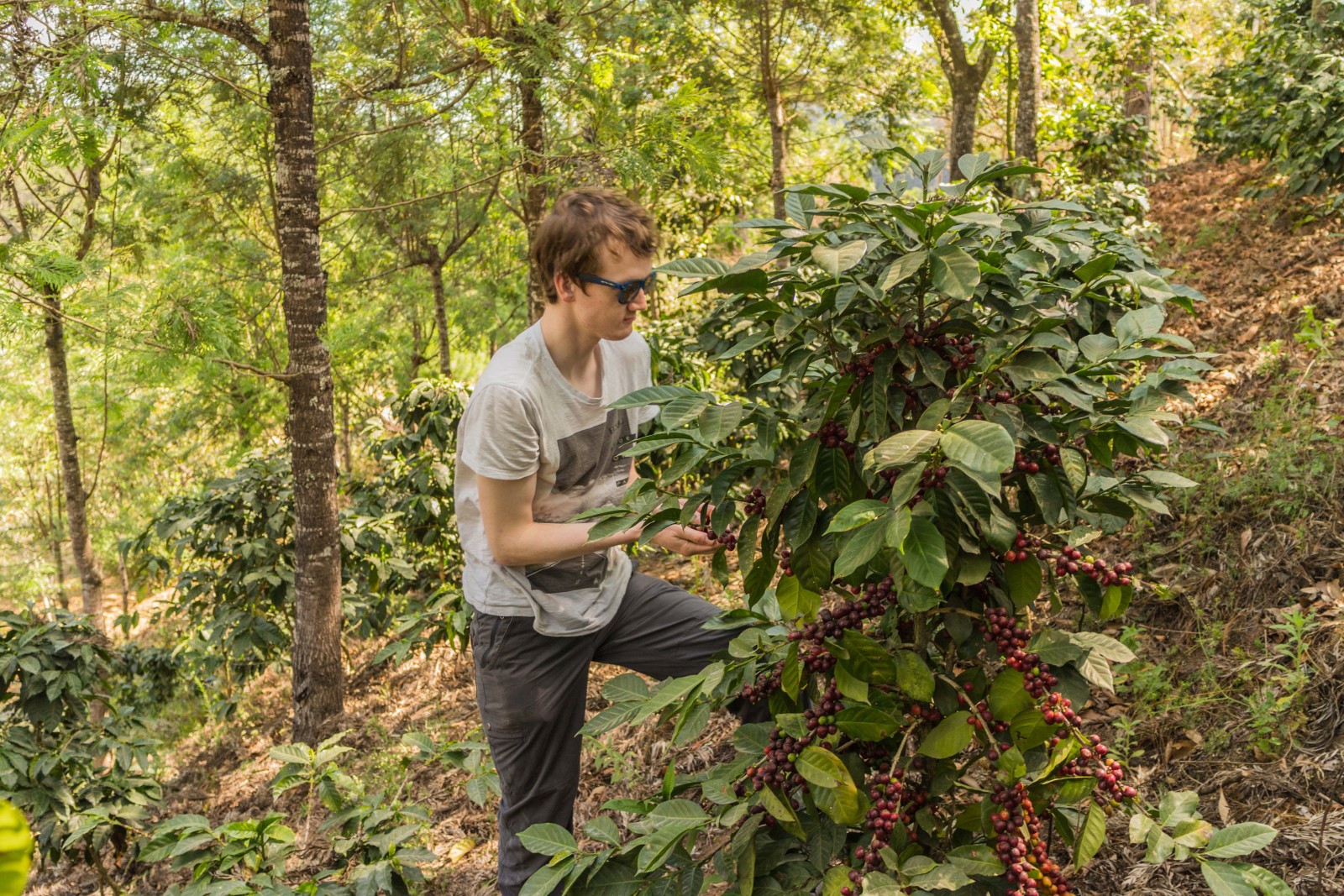
Image credit: Felix Von Aulock
It’s not all about the science! Guatemala is one of the biggest producers of coffee in the world and a lot of the volcanoes are surrounded by coffee plantations.
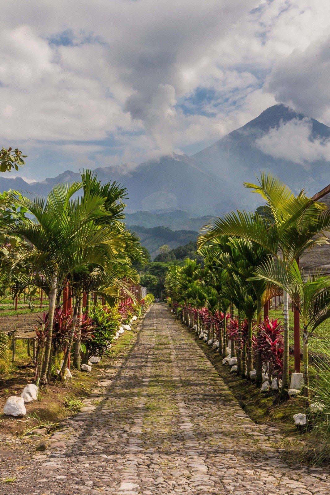
Image credit: Felix Von Aulock
While the volcanoes produce very fertile soils for the coffee to grow on, they can be very destructive. This farm at the base of Santiaguito has faced major hazards from lahars – torrents of hot or cold water, laden with rock fragments, ash and other volcaninc debris which hurtle down the flank of a volcano or valley following an eruption.
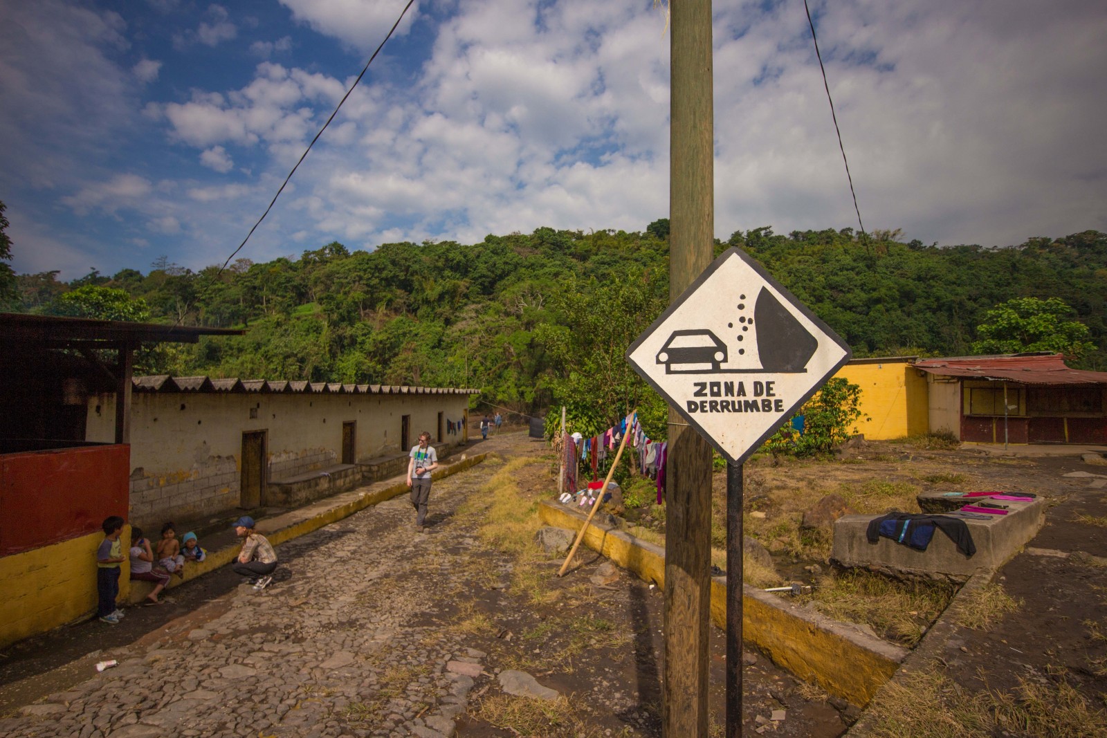
Image credit: Felix Von Aulock
The canyons fromed by the lahars cut right through the farm and the workers’ homes.
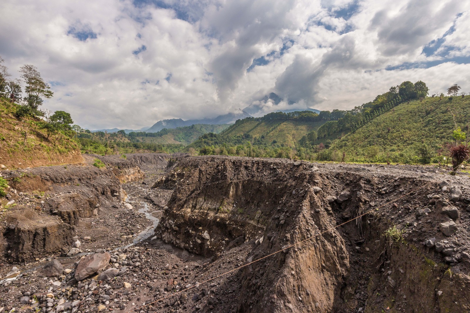
Image credit: Felix Von Aulock
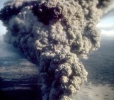
Another hazard faced by the local communities is that posed by pyroclastic flows: high-density mixtures of hot, dry rock fragments and hot gases that move away from an eruptive volcaninc vent (as defined by the USGS).
Pictured above is the flow path of the pyroclastic flow of May 2014. The flow paved the way for many Lahars which formed this canyon. The pyroclastic flow also nearly wiped out the volcano observatory and missed it only by 20m.
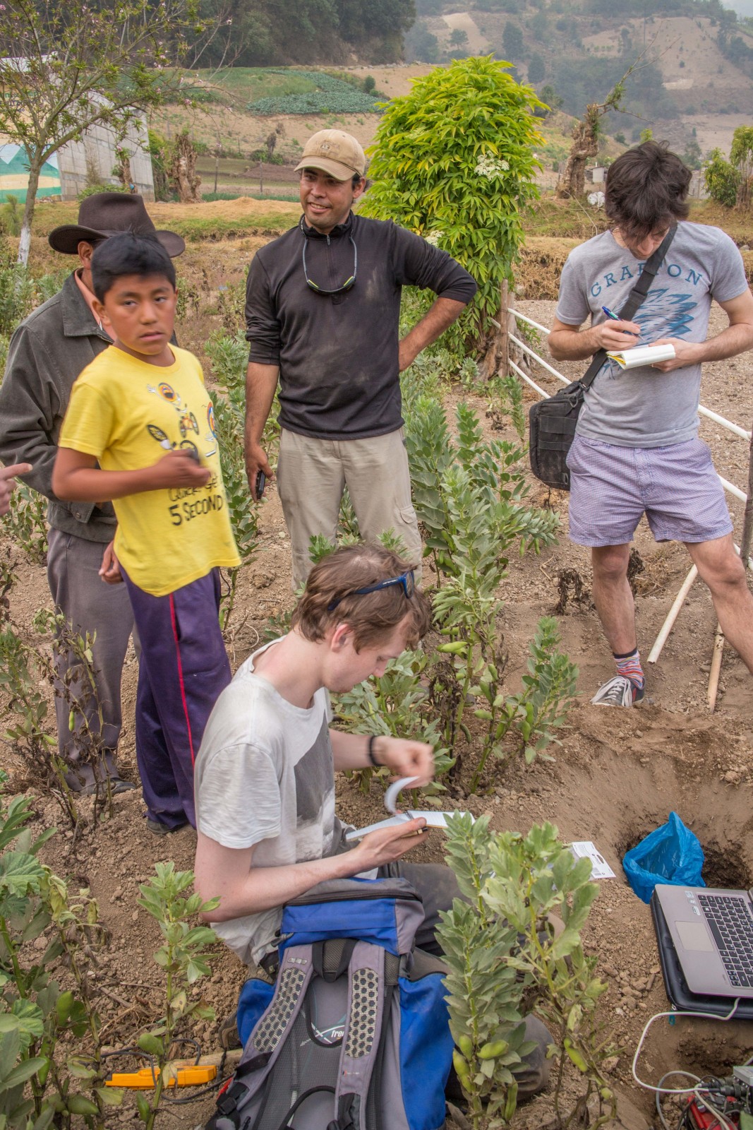
Image credit: Felix Von Aulock
In total we deployed 11 stations around the volcano. This trip’s main purpose was to maintain them and download the data aquired since they were installed in November 2014. We were excited to find that the first station we visited had actually been recording data until the week before we arrived. We were less excited to discover that bean plants were being planted right next to it, possibly leading to some ploughing noise in our data.
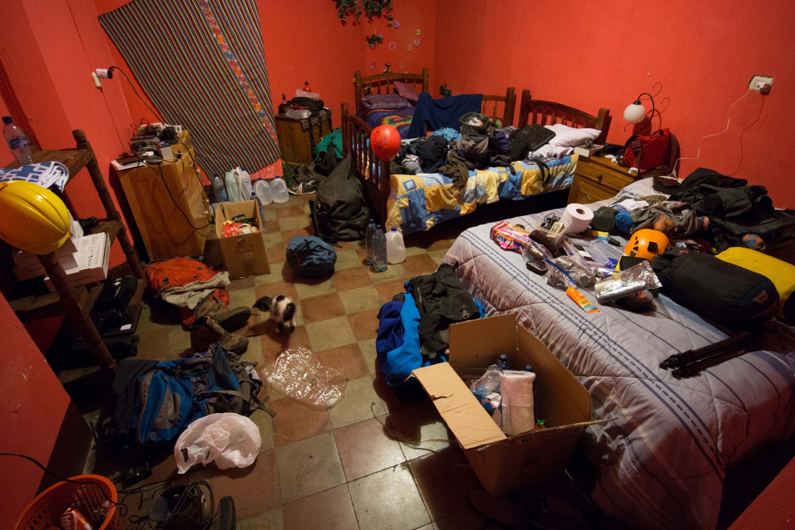
Image credit: Felix Von Aulock
Our room, three hours after our arrival. The chaos didn’t vanish, however, the smell got increasingly bad after 2 weeks of three guys sharing this room. Amongst the chaos, lots of expensive equipment and a kitten!
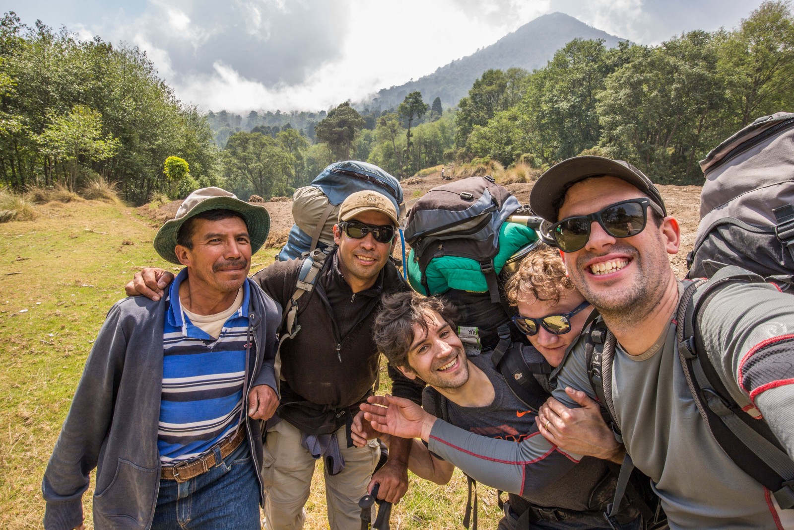
Image credit: Felix Von Aulock
After sorting out supplies and taking care of the stations at the base of the volcano in Quetzeltenango, we finally started our hike towards the active dome. While we (Felix Von-Aulock, pictured in the far right and Adrian Hornby, a volcanology PhD student, picture in the centre) went down towards Santiaguito Dome, Oliver, also volcanology PhD student, (pictured second from the right), went to the top of Santa Maria to film with a thermal camera. Don Geronimo, on the far left, is a local who helped Oliver carry equipment and water to the 3700m high peak. Armando Pineda (second f. l) was our guide down the tricky path to the dome.

Image credit: Felix Von Aulock
It feels good to be finally walking after weeks of preparation and travelling, despite the packs being pretty heavy and the long day ahead of us.
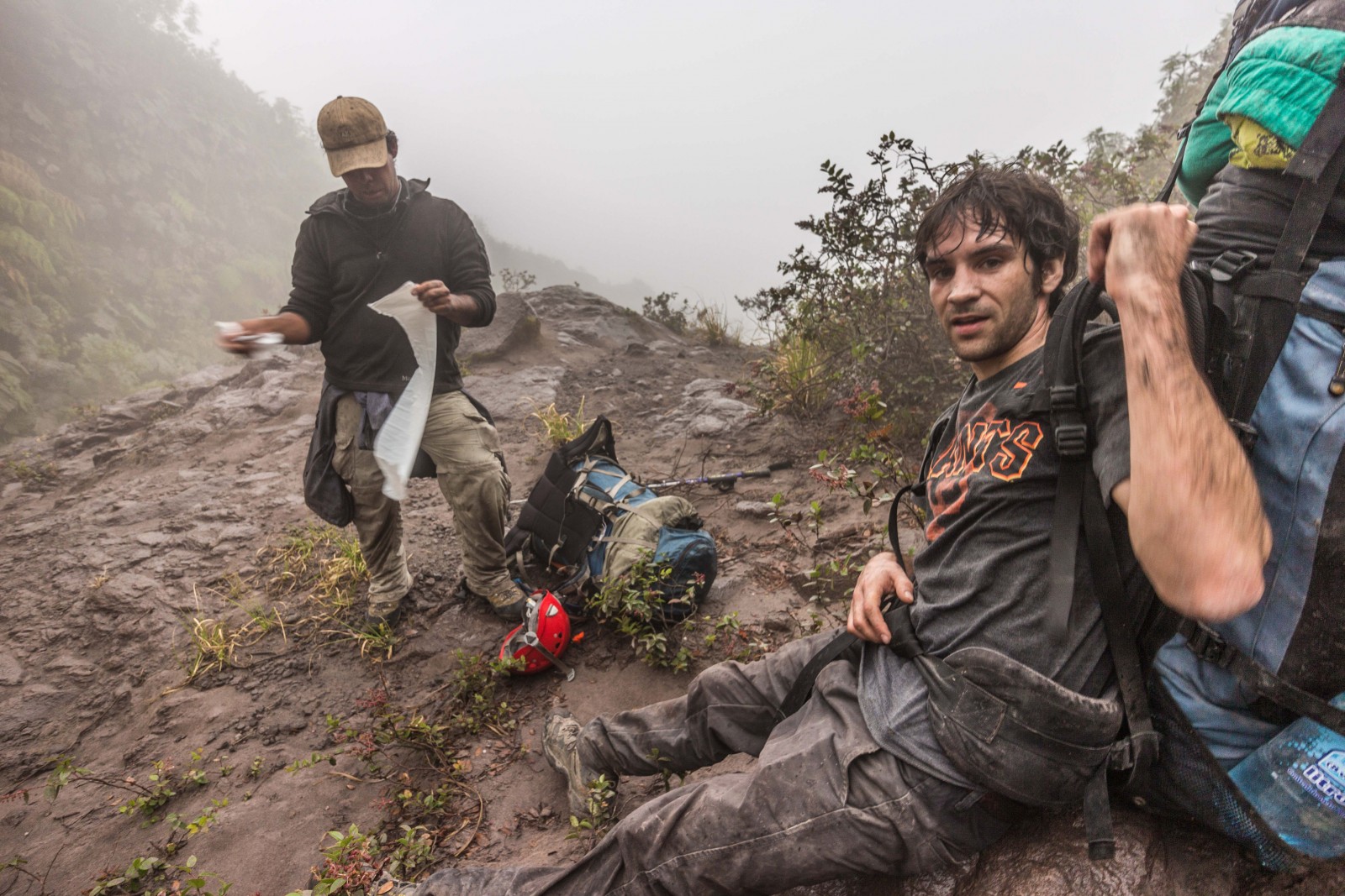
Image credit: Felix Von Aulock
The first two days were hard work: a constant mix of rain and sun, heavy packs we were not quite used to yet and some extra walks made us feel sore pretty quickly.
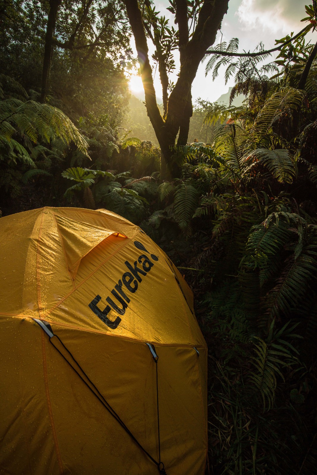
Image credit: Felix Von Aulock
When there was rain, the sun would come out quickly thereafter and the beautiful surrounding made up for the hard work.
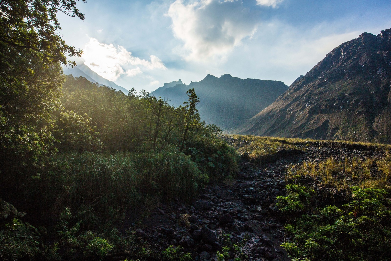
Image credit: Felix Von Aulock
A morning view from our campsite below the chain of domes that was formed during the last century. The riverbed below had a pretty decent river in it just the night before during a thunderstorm. We got caught by that thunderstorm, trying to move car batteries uphill, but luckily decided to turn around to the tent before the river and potential lahars would cross our route.
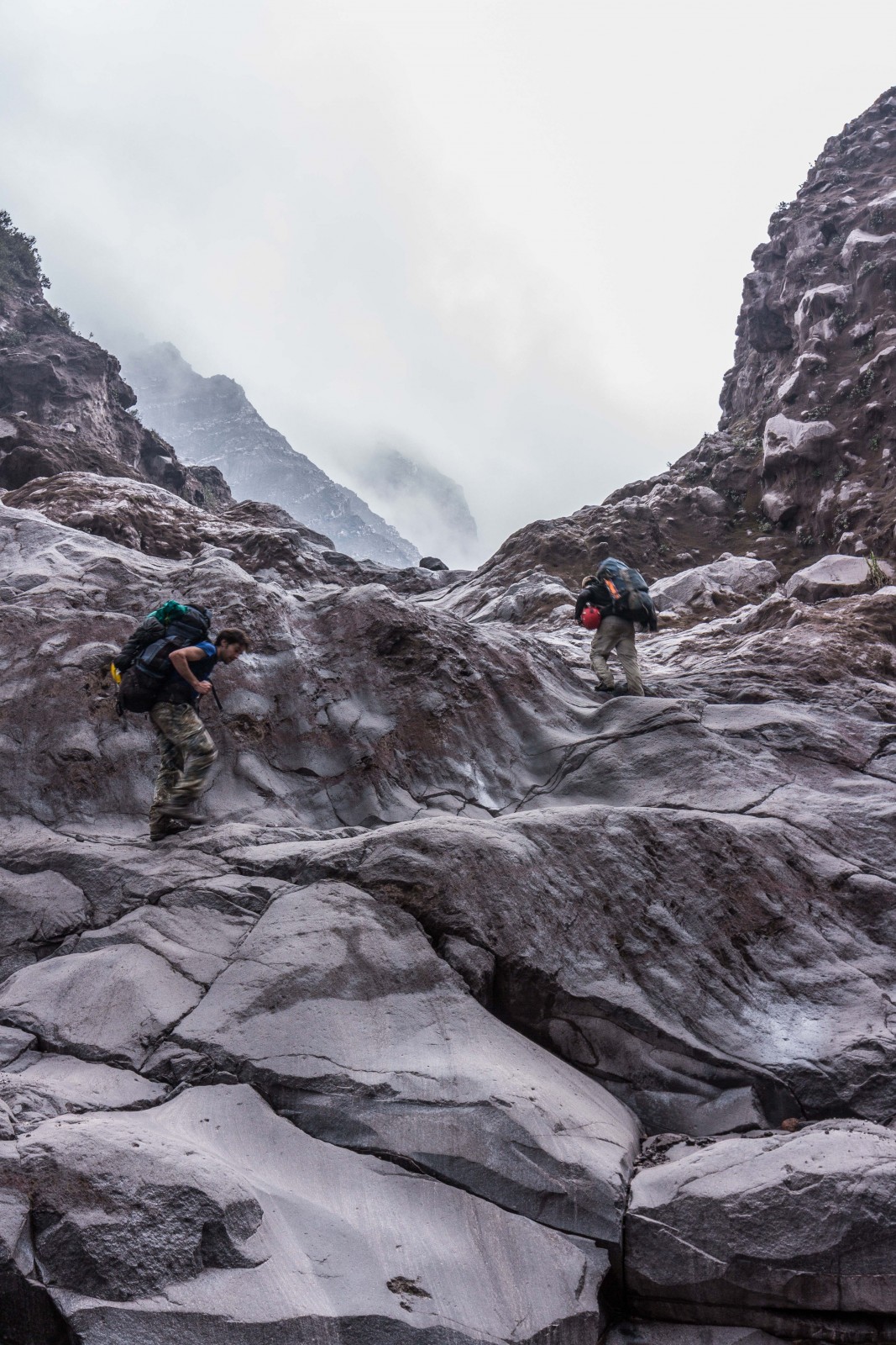
Image credit: Felix Von-Aulock
The valley that leads to the active dome (Agua de Caliente) is an always changing channel, washed out by the frequent lahars. Good to have an experienced guide like Armando with us.

Image credit: Felix Von Aulock
The combination of a thin layer of ash and the frequent rain made some sections a bit tricky with the heavy packs.
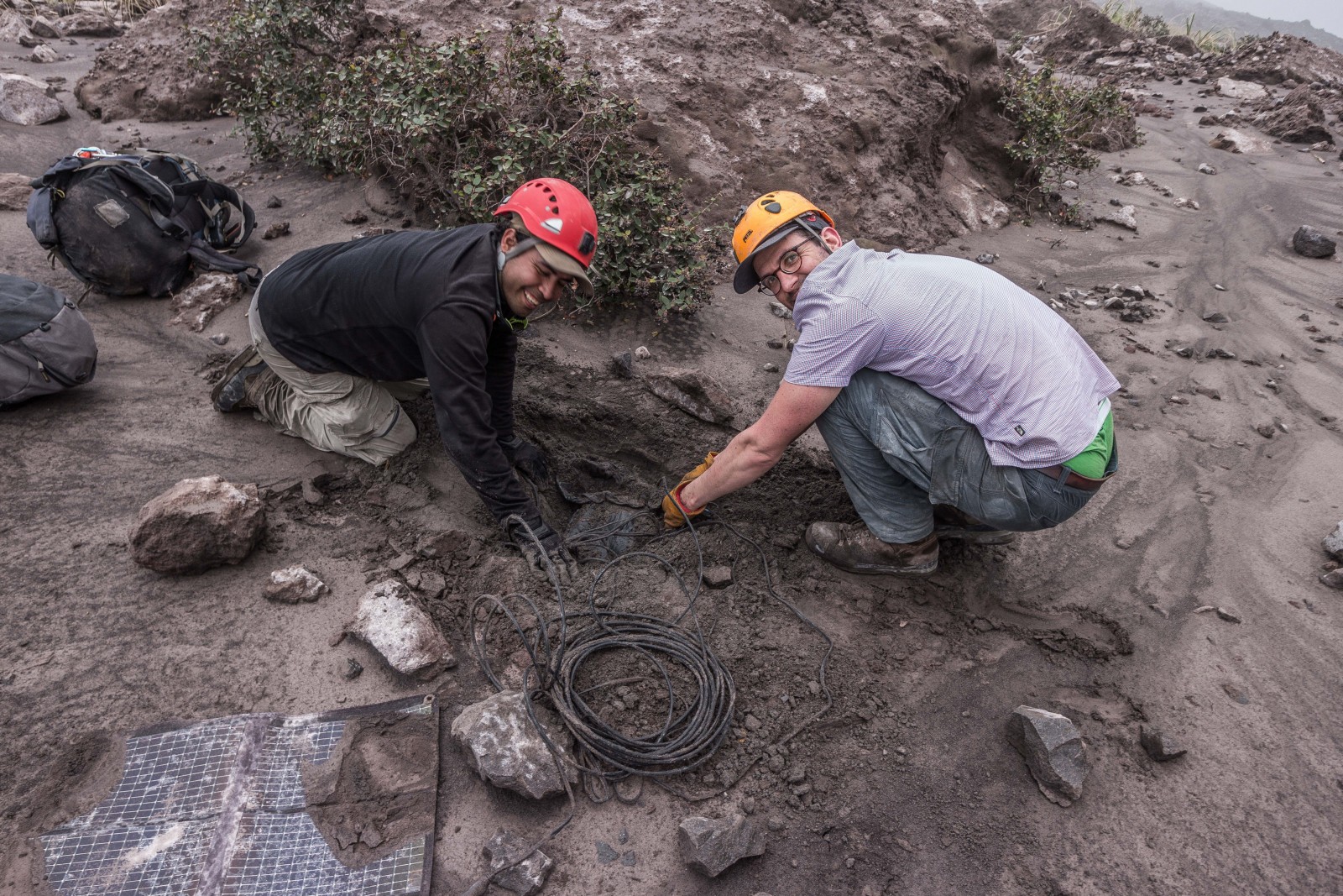
Image credit: Felix Von Aulock
Here we’re digging out the first station, from here on we need to wear helmets as we’re about 300m from the active dome.
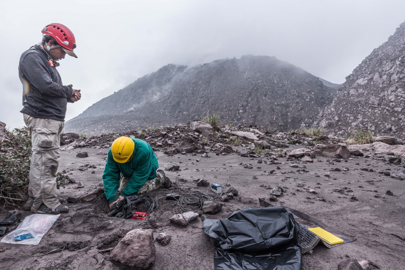
Image credit: Felix Von Aulock
The stations combine measurements of the sound (infrasound), the volcano’s seismicity and the tilt of the flanks of the volcano.
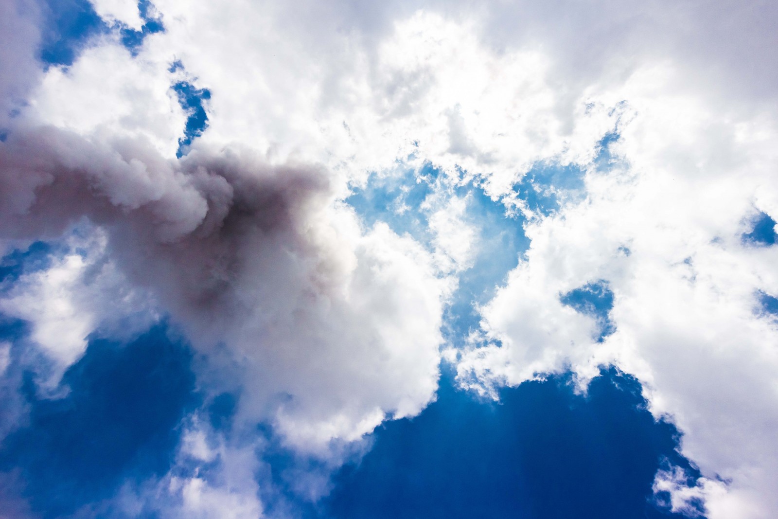
Image credit: Felix Von Aulock
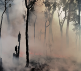
The volcano is erupting frequently and every hour or so, we can see an ash plume rising into the sky above our heads.
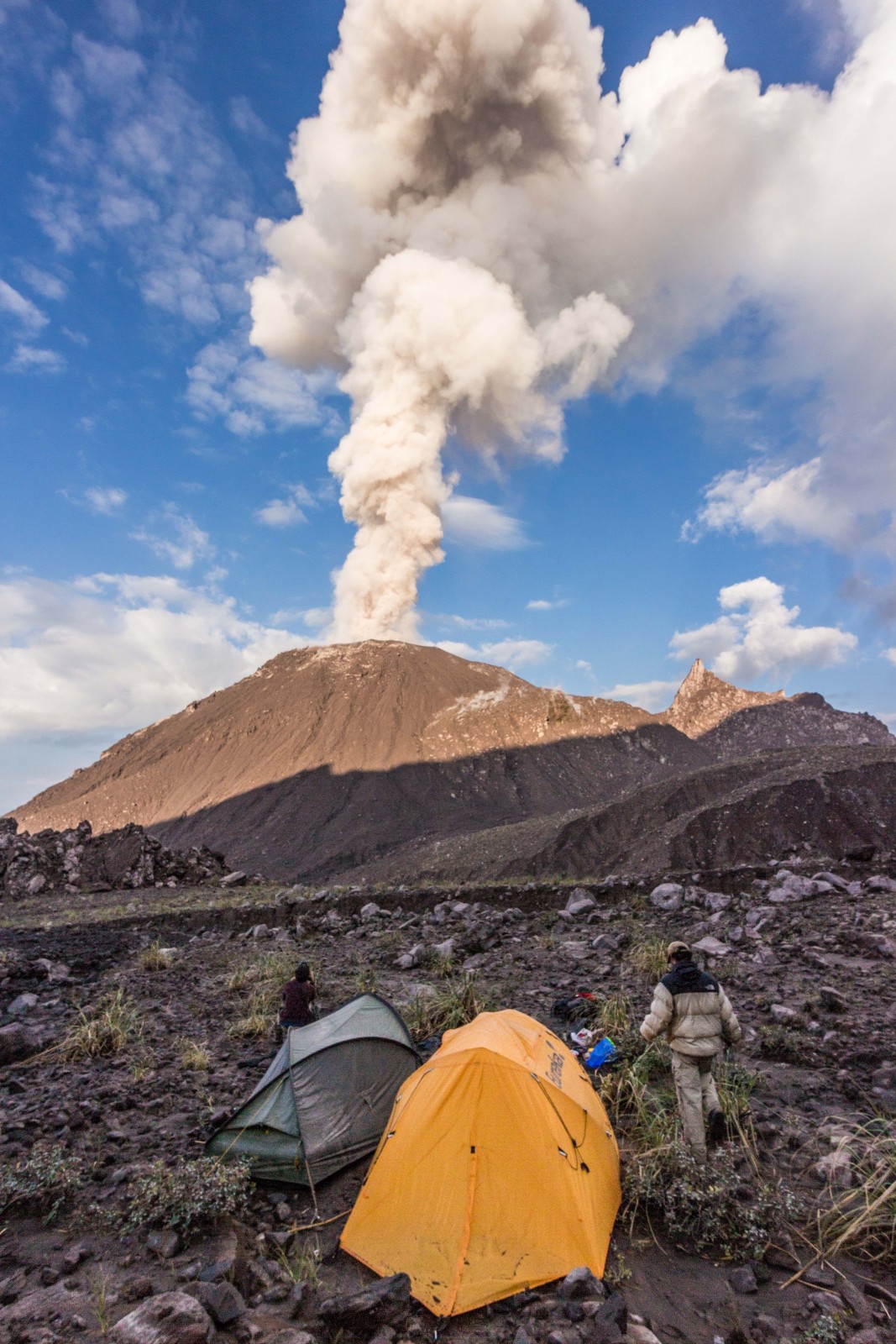
Image credit: Felix Von Aulock
An eruption of the lava dome of Santiaguito observed from our tent around 300m from the crater.

Image credit: Felix Von Aulock
We also brought along a little quadcopter to take pictures of the dome. And although it was not the main subject of our mission it proved quite successful (we didn’t crash it!) Trying to follow a tiny spot in the sky is not easy though. And I just kept thinking:
“This must be one of the best jobs in the world, flying a little helicopter over an active volcano!”
By Felix Von Aulock , Postdoctoral researcher at the University of Liverpool
We are grateful to Rüdiger Escobar-Wolf for helping us improve an earlier version of this blog post.
Do you have some stunning field work photographs that you’d like to share with the wider community? Why not upload them to the EGU’s online open access geosciences image repository, Imaggeo? Geoscientists (and others) can submit their photographs and videos to this repository and, since it is open access, these images can be used for free by scientists for their presentations or publications, by educators and the general public, and some images can even be used freely for commercial purposes. Photographers also retain full rights of use, as Imaggeo images are licensed and distributed by the EGU under a Creative Commons licence. Submit your photos at http://imaggeo.egu.eu/upload/
Field work is an intrinsic part of the geosciences and yet the stories behind data aquisition are often left untold in scientific publlications. If you’d like to share your field work and/or lab tales, we’d love to hear from you! Part of what makes GeoLog a great read is the variety that guest posts add to our regular features, and we welcome contributions from scientists, students and professionals in the Earth, planetary and space sciences. Got an idea? If you would like to contribute to GeoLog, please send a short paragraph detailing your idea to the EGU Communications Officer, Laura Roberts at roberts@egu.eu.
Rüdiger Escobar-Wolf
Great! I notice that there is still one reference to “Agua de Caliente” under figure 15, but that should be easy to fix. I enjoyed the blog and I’ll be looking forward to more news from the field! 🙂
Laura Roberts-Artal
Rüdiger,
Thank you for your comment. We are pleased you like the post and appreciate you pointing out ways to improve it. Following discussion with the post author, we have made the changes you’ve suggested.
Rüdiger Escobar-Wolf
Very nice article and very nice pictures! I like the article very much, but I think you just need to make a few corrections.
1. The name of the lava dome is “El Caliente” or just “Caliente”, not “Agua de Caliente”, as stated in the article.
2. The third picture doesn’t show the Santiaguito volcanic complex, but the Cerro Quemado / Almolonga complex, with Santa Maria volcano on the background.
3. On the eight picture the article describes “…coffee bean plants were being planted right next to it…” in reference to a seismic station, but the picture shows something else than coffee plants around the station hole shown. I guess this may have been on the northern side of Santa Maria volcano? In that case the crop is probably not coffee but something else.
Other than that, the article is very informative. I can’t wait to see the data and research results from this!