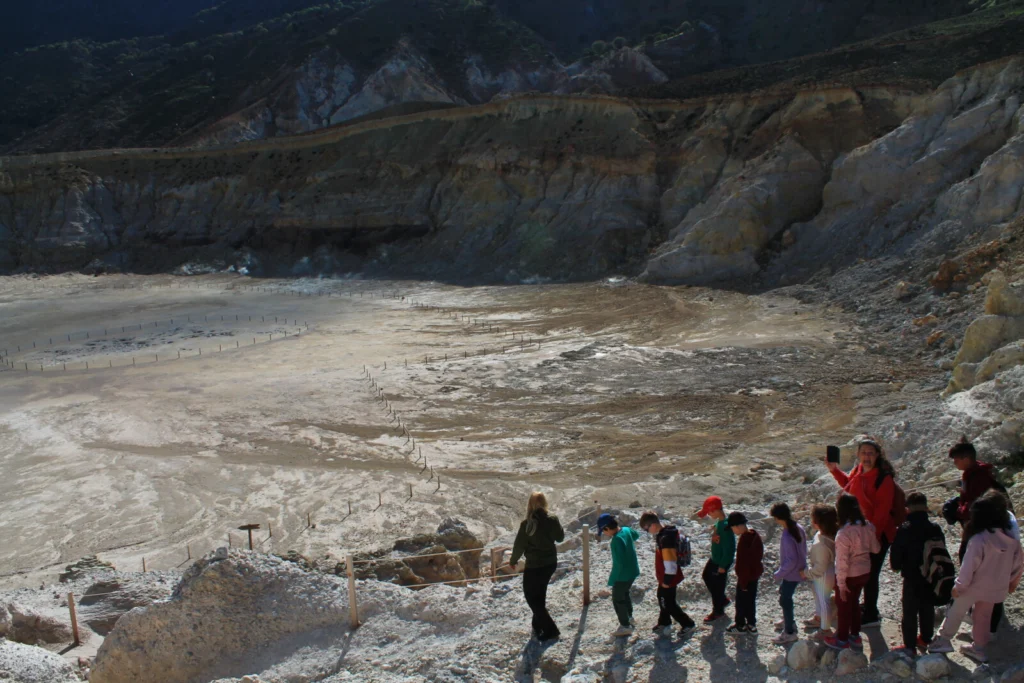
On 20 October 2023, a team of geoscientists will host EGU’s Geoscience Day in Santorini and Nisyros (Greece) with a diverse audience: 60 young students from Nisyros Elementary School, 120 students from the Vocational High School of Santorini, educators, local journalists and representatives of the tourism industry. With such a mixed group of attendees, one …[Read More]
volcanology
GeoTalk: Meet Valeria Cigala, the Natural Hazards Division’s Early Career Scientist Representative
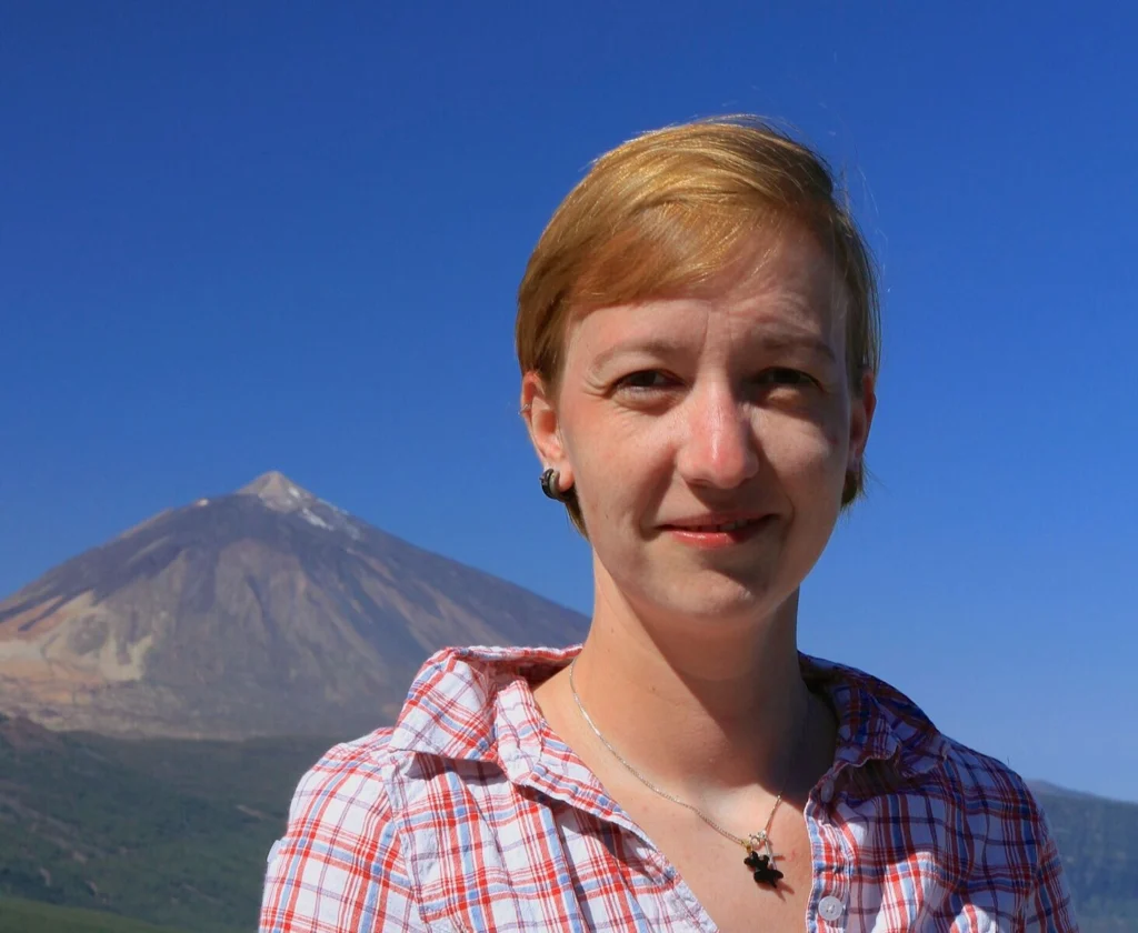
Hello Valeria, thank you for talking with us today! Could you tell us a bit about yourself? Hi Simon, I’m delighted to talk with you today; thank you for the opportunity! I originally come from Italy, and I work as a postdoc researcher at Ludwig-Maximilians-Universität (LMU) Munich, in Germany, in experimental and physical volcanology. In …[Read More]
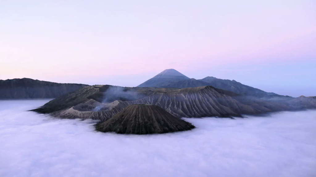
Imaggeo on Mondays: Mount Bromo – volcanic deity
Featured in this photo, rising out from a sea of violet fog at dawn, is one of Indonesia’s most iconic volcanoes, Mount Bromo. The mountain is a large volcanic crater, also known as a caldera, which formed when an ancient cone volcano collapsed in the late Pleistocene and early Holocene epochs, between 126,000 and 8,300 …[Read More]
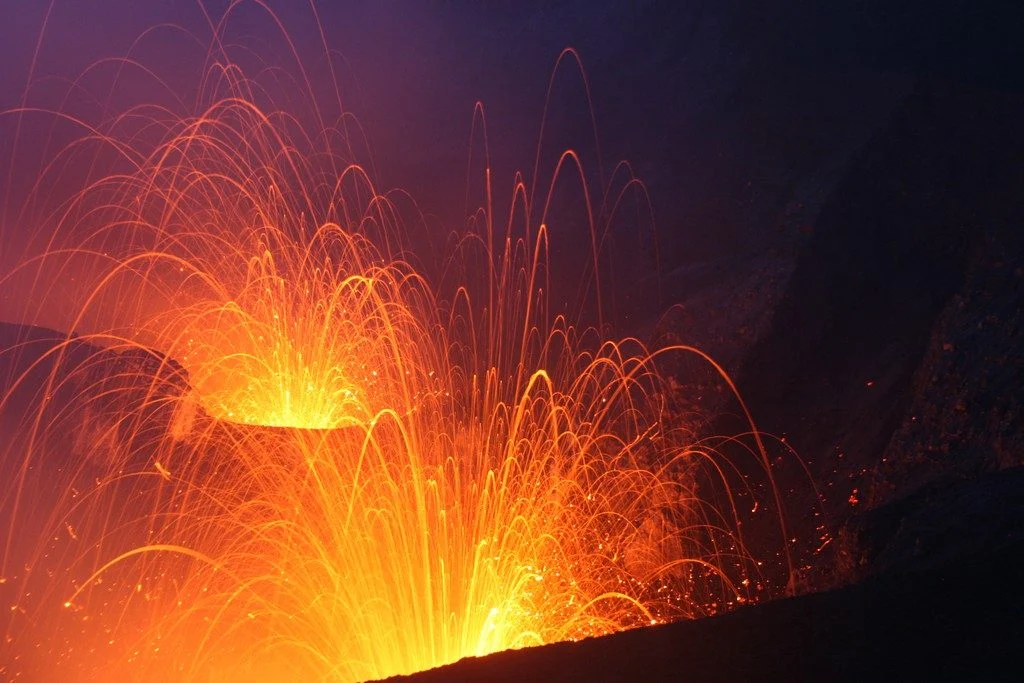
Imaggeo on Mondays: Double strombolian explosions at Mt. Yasur volcano
The Yasur volcano located in Vanuatu archipelago is permanently active since its discovery in 1774 by Cpt. James Cook. Its activity consists mainly in moderate regular strombolian explosions within the crater. But sometimes, more powerful explosions throw ash and bombs beyond the crater rim and may represent a hazard for tourists and people living next …[Read More]
Iceland’s rootless volcanoes
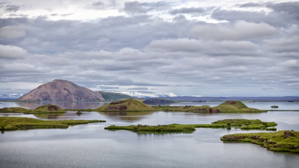
Picture a volcano, like the one you learned about in primary school. Can you see it? Is it a big rocky mountain, perhaps with a bubbling pool of lava at the top? Is it perched above a chasm of subterranean molten rock? I bet you didn’t picture this: You’d be forgiven for mistaking these small …[Read More]
Imaggeo on Mondays: Hints of an eruption
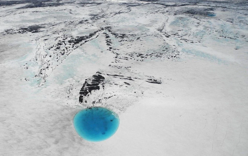
The photograph shows water that accumulated in a depression on the ice surface of Vatnajökull glacier in southeastern Iceland. This 700m wide and 30m deep depression [1], scientifically called an ‘ice cauldron’, is surrounded by circular crevasses on the ice surface and is located on the glacier tongue Dyngjujökull, an outlet glacier of Vatnajökull. The …[Read More]
GeoTalk: How will large Icelandic eruptions affect us and our environment?
Geotalk is a regular feature highlighting early career researchers and their work. In this interview we speak to Anja Schmidt, an interdisciplinary researcher at the University of Cambridge who draws from atmospheric science, climate modelling, and volcanology to better understand the environmental impact of volcanic eruptions. She is also the winner of a 2018 Arne …[Read More]
Imaggeo on Mondays: Breath from the underground
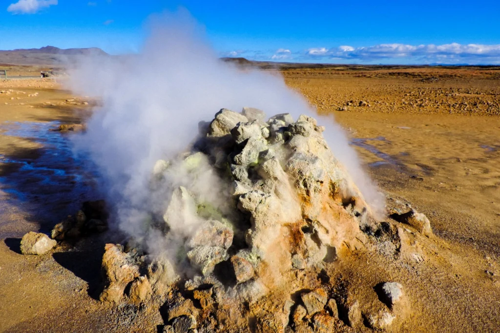
The heat seeping from the geothermal area which is part of the Krafla volcanic system in Iceland, ‘powers’ the steaming vent at Hverir (Hverarönd). The area is well known for its mud pots and sulphuric gas fumaroles, complete with pungent eggy smell. Some of the vents are in fact boreholes drilled in the 50’s for …[Read More]
Imaggeo on Mondays: A lava layer cake
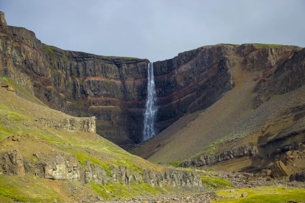
Brekkuselslækur, a small river, carves its way across Iceland’s ancient volcanic landscape. At Hengifoss, Iceland’s third-highest waterfall, it tumbles fiercely down thick, dark layers of lavas erupted from volcanoes some 18 to 2.58 million years ago, during a period of geological time known as the Tertiary. Eruptions are rarely continuous; during hiatuses in the extrusion …[Read More]
Imaggeo on Mondays: In the belly of the beast
Conducting research inside a volcanic crater is a pretty amazing scientific opportunity, but calling that crater home for a week might just be a volcanologist’s dream come true, as Alexandra postdoctoral researcher at the Institut de Physique du Globe de Strasbourg, describes in this week’s Imaggeo on Mondays. This picture was taken from inside the …[Read More]