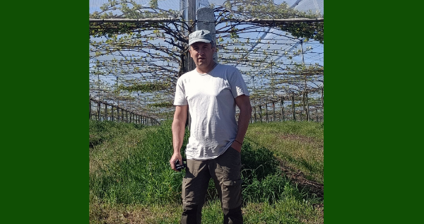
Adriano, welcome to GeoTalk! As an Associate Professor of Agricultural Chemistry and Plant Biology, you work a lot on microbiology and chemistry related to soil management. Can you tell us a bit about how your work is relevant for society? Thank you, Chloe! It is a pleasure. My research in soil chemistry and microbiology directly contributes to understanding factors influencing crop yield and qual ...[Read More]
The geological period that no one talks about: menstruation in the field
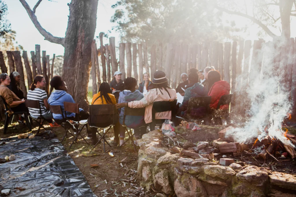
Try typing the phrase ‘period in geosciences’ into Google. You’ll get something like ‘divisions of geological time’, and how we divide ancient earth time into eras, periods and epochs. We learn about this in the first year and again in every subsequent year of geological training. We are both geochronologists, so this is a topic we are deeply familiar with. But we are also both women. To us, and e ...[Read More]
Get the picture? How choosing the right photograph can add value to your science communication
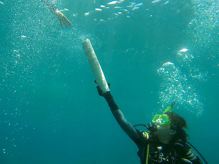
If you are a scientist you probably know the value of a good, well designed image. The right graph or diagram can help the reader to really grasp the meaning of a complicated theory or process, help to illuminate a critical piece of data, or highlight a key finding. But whilst much advice exists about how to create effective, accessible images, what about photographs? In our early training, ...[Read More]
GeoTalk: #BlackInTheMud panellists reflect on Black in Geoscience Week 2020
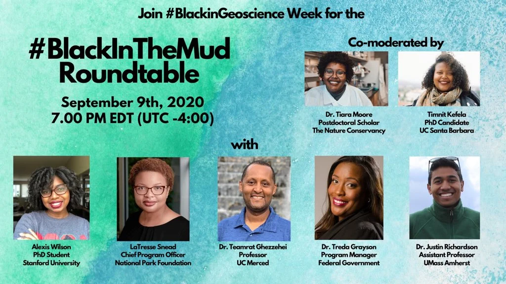
After telling a personal and traumatizing field experience to my fellow colleagues of color, I found that we all had shared similar events! Shocked and outraged, I wanted to find a place to expose and highlight these events thus the #BlackInTheMud panel was created. This event was inspired by this picture. And it’s so funny because this photo has been used, until it’s almost like a stock photo on ...[Read More]
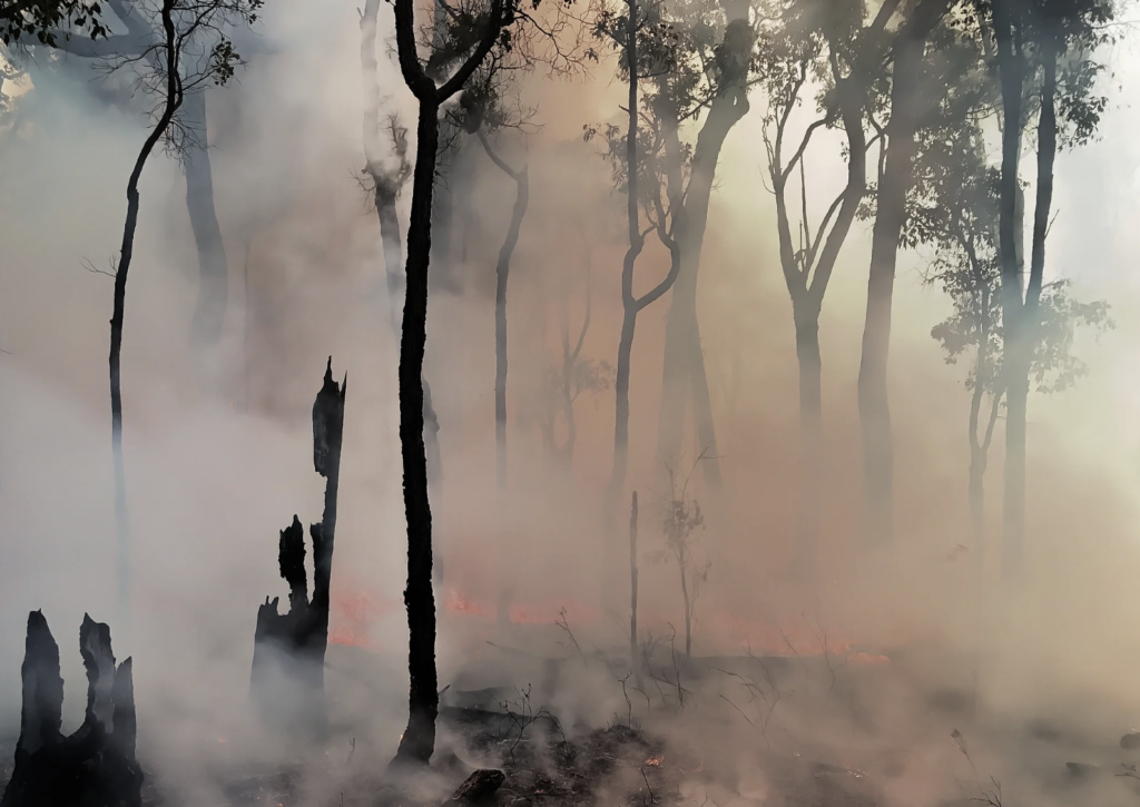
Imaggeo on Mondays: Setting trees aflame to understand the carbon balance of fires
Smoke clears after an experimental wildfire in Australian eucalyptus forest carried out for carbon balance estimations of wildfires. We meticulously measured the carbon in all leaves, twigs, logs and bark in a forest block about 35km east of Manjimup and then they set it on fire with help from the Dept. of Parks and Wildlife, [Western Australia]. We the counted the carbon all over again including ...[Read More]
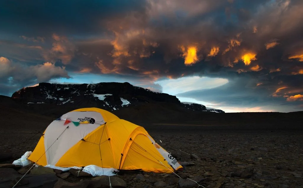
Imaggeo on Mondays: An expedition to better understand Antarctic soils
A dramatic evening sky puts the frame to a photo taken during the Brazilian Antarctic expedition to James Ross Island in 2016. Brazilian palaeontologists and soil scientists together with German soil scientists spent over 40 days on the island to search for fossils and sample soils at various locations of the northern part of the island. The island was named after Sir James Clark Ross who led the ...[Read More]
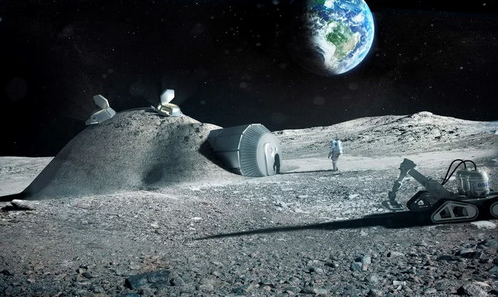
IGLUNA: students work towards building an icy human habitat on the Moon!
What does it take to build a habitat in ice on the Moon? An international group of university students and professionals is working together to provide this answer and develop a sustainable and operational habitat in lunar ice. The project is called IGLUNA and is organised by the Swiss Space Center and the European Space Agency (ESA) as the first initiative from ESA_Lab, an ESA interuniversity res ...[Read More]
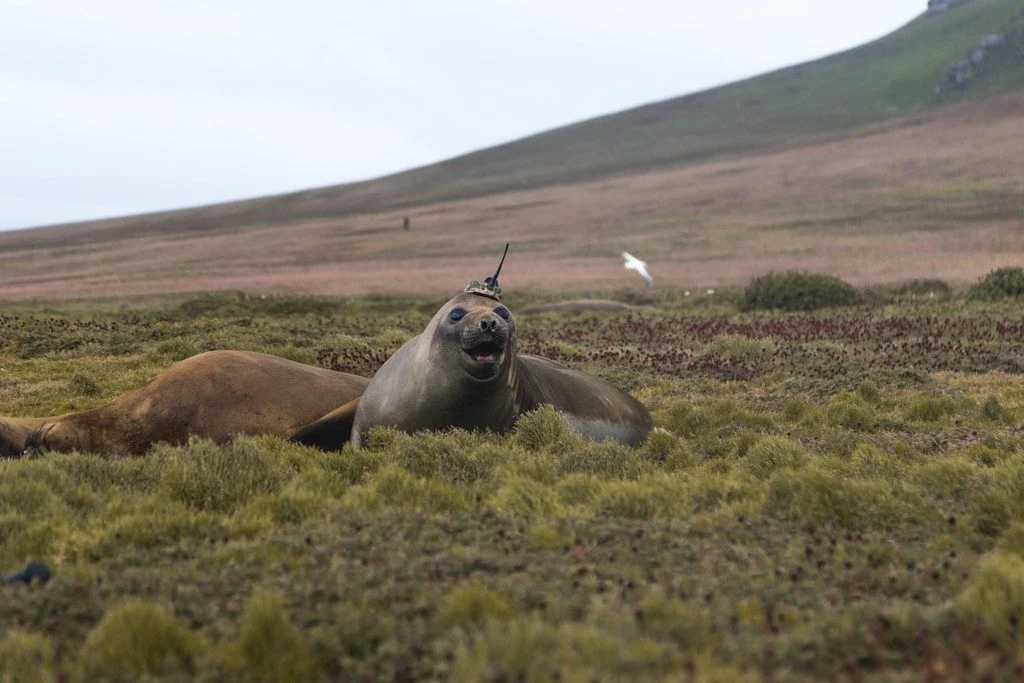
Imaggeo on Mondays: Crowned elephant seals do citizen science
In the Southern Ocean and North Pacific lives a peculiar type of elephant seal. This group acts like any other marine mammal; they dive deep into the ocean, chow down on fish, and sunbathe on the beach. However, they do all this with scientific instruments attached to their heads. While the seals carry out their usual activities, the devices collect important oceanographic data that help scientist ...[Read More]
GeoSciences Column: Can seismic signals help understand landslides and rockfalls?
From the top of a small gully in the French Alps, a 472 kg block is launched into the chasm. Every detail of it’s trajectory down the slope is scrutinised by two cameras and a network of seismometers. They zealously record every bounce, scrape and tumble – precious data in the quest to better understand landslides. What makes landslides tick? In 2016, fatalities caused by landslides tipped 2 ...[Read More]
Imaggeo on Mondays: An epic ‘house’ move across the ice
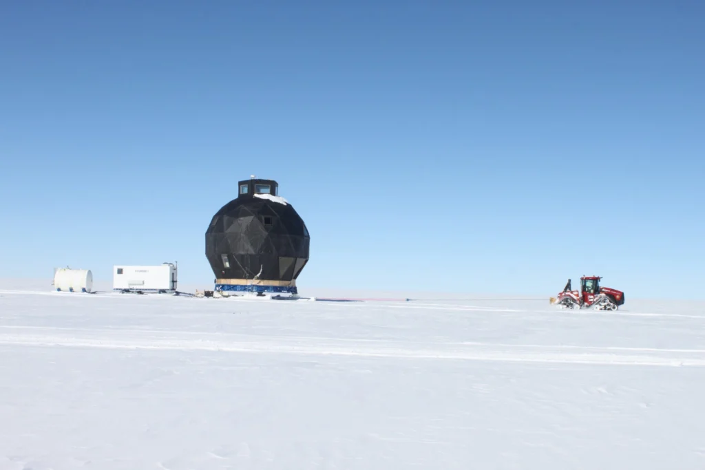
In 2008 the NEEM Deep Ice Core Project was initiated by 14 partner countries in Northwestern Greenland (camp position 77.45°N 51.06°W) with the aim to drill from the very top of the Greenland ice cap to its base; obtaining ice from as far back as the last interglacial period- the Eemian – some 130,000 years old. At the start of the 2008 field season, the NEEM camp consisted of a single hea ...[Read More]