GeoLog

volcanoes

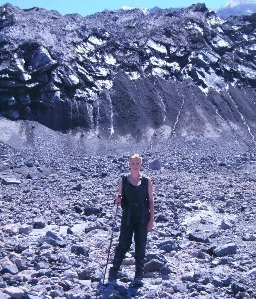
GeoTalk: meet Megan Holdt, researcher of mantle dynamics & Geodynamics ECS Representative!
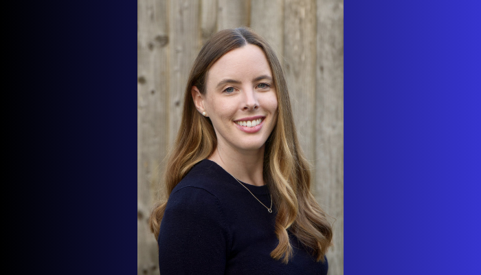
GeoTalk: meet Megan Holdt, researcher of mantle dynamics & Geodynamics ECS Representative!
Hello Megan! Welcome to GeoTalk. Could you tell our readers a little bit about yourself and your background? Hi Simon, thank you for inviting me to GeoTalk! I am originally from Australia and studied geology and geophysics at the University of Sydney. After I finished my undergraduate degree, I worked as an earth scientist for almost seven years. I really enjoyed my time in industry, but I felt th ...[Read More]

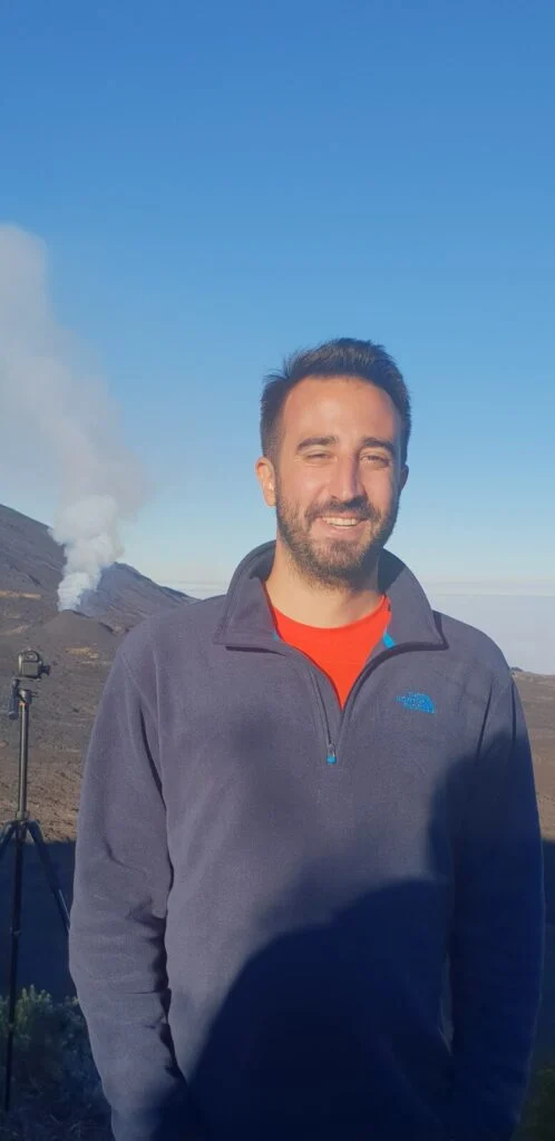
GeoTalk: meet Dinko Sindija, researcher of seismic signals and Seismology ECS Representative!

Dinko Sindija

Hello Dinko. Thank you for agreeing to this interview! Before we dig deeper, could you tell our readers a little bit about yourself and your background? Well thanks for having me. My name is Dinko and I’m a seismologist, doing a PostDoc at the Department of Geophysics at the University of Zagreb. Currently, I work on a Croatian-Norwegian collaboration project in which we densified seismic network ...[Read More]

GeoTalk: meet Blaise Nyandwi, researcher in public perceptions of volcanic hazards!

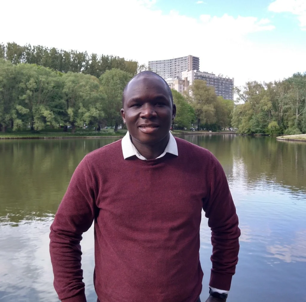
Blaise Mafuko Nyandwi

Thanks for joining us today Blaise! To begin, could you talk about your background and why you pursued research on people’s perceptions of natural hazards? I have a background in geology and environmental sciences. Goma is my hometown and I work as a lecturer at the University of Goma. Living and working in a city built on lava flows and permanently threatened by several hazards from Nyiragongo vo ...[Read More]

Imaggeo on Mondays: Hints of an eruption

Imaggeo on Mondays: Hints of an eruption

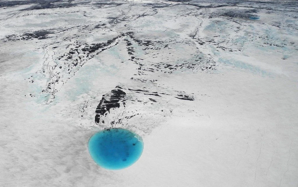
The photograph shows water that accumulated in a depression on the ice surface of Vatnajökull glacier in southeastern Iceland. This 700m wide and 30m deep depression [1], scientifically called an ‘ice cauldron’, is surrounded by circular crevasses on the ice surface and is located on the glacier tongue Dyngjujökull, an outlet glacier of Vatnajökull. The photo was taken on 4 June 2016, less than 22 ...[Read More]

Imaggeo on Mondays: “Vancouver! Vancouver! This is it!”

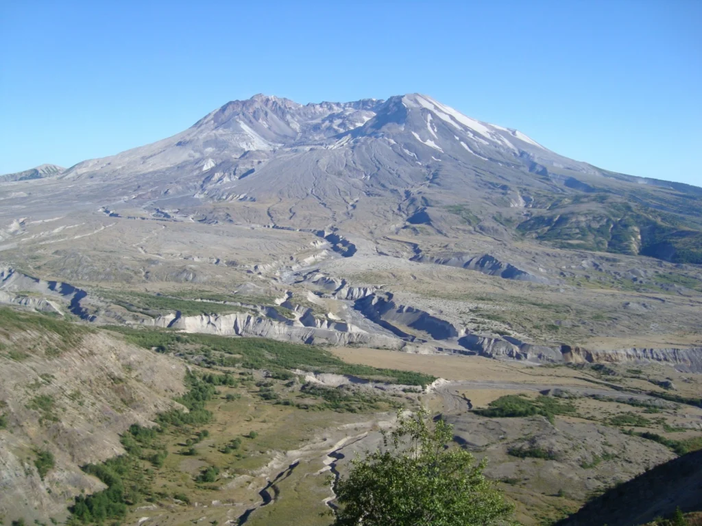
Mount St Helen's, Washington, seen from Johnston Ridge.

On May 18th 1980 Mount St Helens (an active stratovolcano of the Cascades located in the North West US), erupted explosively following a magnitude 5.1 earthquake. The quake triggered a devastating landslide which swept away the volcano’s northern flank – in what is the largest debris avalanche recorded on Earth to date. Removal of a section of the edifice depressurised the volcano’s magmatic ...[Read More]

Imaggeo on Mondays: Moving images – Photo Contest 2016

Imaggeo on Mondays: Moving images – Photo Contest 2016

Since 2010, the European Geosciences Union (EGU) has been holding an annual photo competition and exhibit in association with its General Assembly and with Imaggeo – the EGU’s open access image repository. In addition to the still photographs, imaggeo also accepts moving images – short videos – which are also a part of the annual photo contest. However, 20 or more images have to be submitted ...[Read More]

GeoTalk: Friction in volcanic environments by Jackie Kendrick

GeoTalk: Friction in volcanic environments by Jackie Kendrick

Geotalk is a regular feature highlighting early career researchers and their work. In this interview we speak to Jackie Kendrick, a volcanologist at the University of Liverpool, and winner of the 2016 GMPV Outstanding Young Scientist Award. The occasion will be marked during the upcoming General Assembly, where you’ll be able to listen to Jackie speak in session GMPV 1.1 on the topic of friction i ...[Read More]

Imaggeo on Mondays: Snow and ash in Iceland

Imaggeo on Mondays: Snow and ash in Iceland

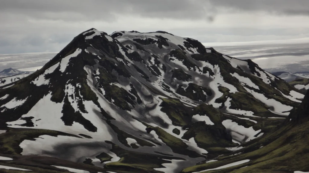
Featuring today on the blog is the land of ice and fire: Iceland. That title was never better suited to (and exemplified), than it is in this photograph taken by Daniel Garcia Castellanos in June 2013. Snow capped peaks are also sprinkled by a light dusting of volcanic ash. Dive into this post to find out the source of the ash and more detail about the striking peak. The picture is dominated by a ...[Read More]

Geosciences Column: The calamity of eruptions, or an eruption of benefits?

Geosciences Column: The calamity of eruptions, or an eruption of benefits?

So here is a question: why would anyone want to live in the vicinity of an active volcano? The risks are well known, with hazards arising from lava flows, lahars, ash falls, debris avalanches, and pyroclastic density currents, with many often having deadly consequences. But despite the danger, more than half a billion people live in the direct vicinity of volcanoes. Could it be that communities pr ...[Read More]

Studying an active volcano – in pictures

Studying an active volcano – in pictures

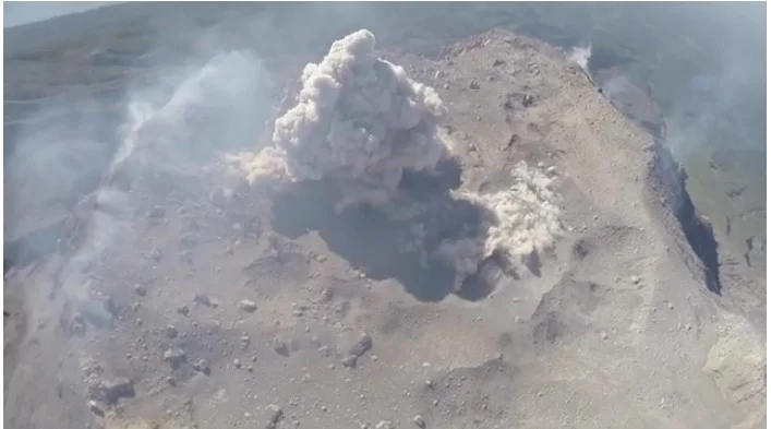
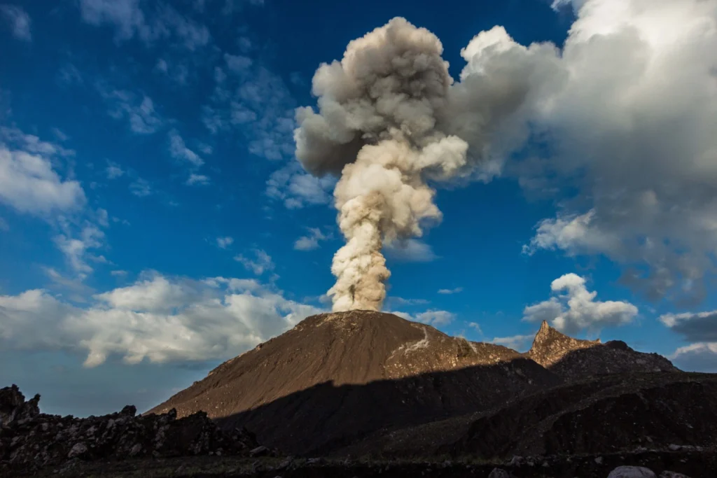
Santiaguito volcano in Guatemala is one of the most active volcanoes in Central America: currently erupting every 45-90 mintues, from its active lava dome Caliente, while at the same time sending a lava flow down its flanks. This makes it an ideal study object for volcanology. A group of volcanologists from the University of Liverpool, in the UK, installed a network of geophysical stations around ...[Read More]